All posts by bpheasant

Southern Special – Clyde to Manapouri via Nevis

I got wind of a long-planned Southern Special the previous month on Andy’s fantastic Conservation Area Loop. The concept was pretty standard with not much new to me, save for the carrot of getting down to Fiordland and hauling our bikes over Percy Saddle. Plans morphed over the intervening weeks and I realise now there are still places to show Andy that he’s not ridden yet – another time. Rachel already had the time off work and other plans fell through, so last month’s trio was back together. I determined to carry more gear, food and be more comfortable at camp so as to slow down a bit, in the hope of turning it into a more relaxed tour.

Originally I was disappointed the day we were due to depart became a travel day (admittedly I had far less distance to travel), but this turned into a blessing as that Friday was bleak – cold, wet and very grey. There was even flooding in Clyde as we met at Mark’s barn and extensive bike workshop – thanks Mark for the facilities! Debbie was a late addition for the first few days, having recently picked Scott up from the Tour Te Waipounamu finish and itching for an adventure of her own with a few days left off work – Scott happy to continue resting while pootling around in their camper.

Over a large curry, shades of GSB21, we reversed the proposed loop – avoiding the top of the Pisa Range at the tail end of the current storm – instead opting for the Nevis Valley first up, not quite as high and exposed. Saturday morning rolled around and packing was completed at the last minute – I didn’t quite fill my big saddlebag, but it was close. Unusually I packed a tent, along with extra clothes, a stove, much fuel and food for days away from shops; I was sure to be markedly slowed. I was wary of the plan to ride all the way to Mossburn the next day, was a bit more than I was expecting from this trip – but kept quiet as, weirdly, we seemed to be riding to a schedule.

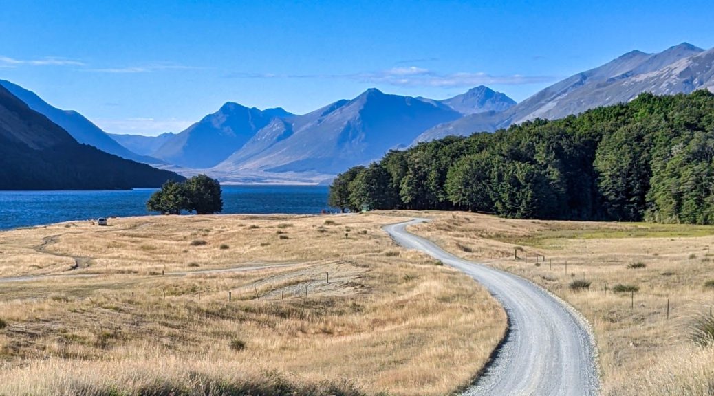
Down to the river trail, we were soon on the Dunstan Gorge Trail. Funny, it was many months before I got to ride this and now here I was for the second time in a month. The bleak, cool morning did at least mean it was deserted. With a light southerly, this spectacularly engineered trail was even easier riding than last time. We didn’t even meet Rambo this time, although I was still getting good mileage retelling the story of his attack on Tom’s bike. The coffee-boat wasn’t even open it was such a dull day.

The more traditional coffee cart at a vineyard short of Bannockburn was open, so we did get a welcome morning tea stop before heading for the Nevis and up Duffers Saddle. Away from the zero-elevation gain riding beside Lake Dunstan, I quickly found myself falling well behind the others. In overloading my bike, I’d failed to consider having had another pint of blood taken less than two days earlier. Perhaps with only one of those factors in play I’d have been ok, but both were a bit much. With reduced hemoglobin, things weren’t quite firing. Oh well, at least my iron levels are down near the target now – that’s got to be good in the long run.

I continued plodding, somehow not getting off and walking. Not walking was better than the only other time I’ve climbed Duffers from this side – but that was a day of being almost-blown off the top of the Pisas and this saddle on GSB19 (which I maintain is the toughest event I’ve done).

Up and away from Lake Dunstan and Bannockburn.

Into the cloud at the summit.

Unsure if Andy’s face or the weather is more grim – one clearly a reflection of the other.

Time to layer up for the big downhill, such fun, to the Nevis Valley and the long gradual climb to its headwaters.

Brighter down there!

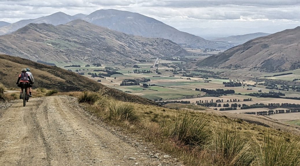
There started a few hours of toil into the nagging southerly. Plenty of streams to cross and opportunities to get water. It’s a vast valley and there’s much to look at with little bits of history and farming besides the fascinating landscape. Still feeling flat, I was pleased Andy did a lot of the work into the wind – far more effective when someone my size is the next largest in the group! My pedals, with a new service kit recently installed, ominously started squeaking – pretty rubbish really, even with the stream crossings.

Climbing out of Otago, these are now Southland hills.

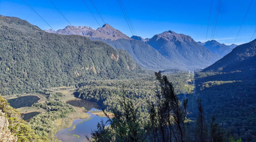
Finally we were at the top of the 800 m drop to Garston. Fine views down and across the next valley, even in the gloom. Still the old Garston Ski Hut seemed a perfectly good place to call it a day ten hours and a hundred kilometres in. I don’t think that was only due to fond GSB21 memories, it’s a great spot and a quaint old hut.

Can’t complain about this downhill though; more GSB memories of an incredible late summer evening climb.

Down on the flat, it was fifty kilometres of flat riding to Mossburn. Well into the evening now, Rachel thoughtfully phoned the ever-hospitable-to-bikepackers Railway Hotel in Mossburn, booked rooms and ordered steak dinners for us all. Now just to deal with one of the stupidest sections of cycle trail in the country. Two latched gates at each farm crossing with two cattle stops is just ridiculous – someone really stuffed this up in giving the farmer the run around. I think the short section of highway is probably better than this absurdity, I’ll be happy if I never ride it again.

By now my left pedal was starting to seize, which left me trying to arrange to borrow or buy replacements the following morning in Te Anau. That was easier to do on the highway from Five Rivers to Mossburn – the faster and less hazardous route compared to the cycle trail between Lumsden and Mossburn that has power poles in the middle of it! Huzzah, we made it to the pub as the kitchen was closing to complete a long and unusually trying day. An enormous feed and a hot shower helped markedly. There were other bikepackers there too – funnily, the pair that I’d chatted to on top of the Hawkduns while out for a bike and hike at the start of the week.

Leaving the Railway Hotel, a long time since the railway came here.

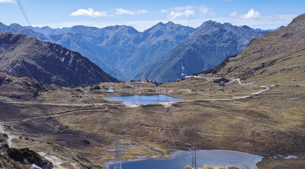
Off west to Manapouri, there was a bit of less-ridiculous cycle trail to start before we hopped on the highway and I immediately lagged behind again – not having had to eat any of the mass of food I was hauling, due to great hospitality, didn’t help. At least my pedals were behaving better and I slowly gave up on the idea of detouring to Te Anau, deciding to risk them for the next day – knowing there was a fair bit of hike-a-bike anyway. We were all pleased to arrive at the cafe in Manapouri with plenty of time before our boat ride across the lake.

Now you’ve made it through my rambling, here is Andy’s video of the trip – and you don’t even need to wait for more posts to find out the rest.

Mt Ida hike

Having been distracted by the summit of the Hawkdun Range a few days before, I had to wait for clear skies and some energy to return before attempting to get up Mt Ida. This did mean another two-hour bike push up onto the Hawkduns; being the third time in a month, it’s getting to be old hat now and just part of getting to enjoy this area. Of course, I could have just hiked up without a bike – but I would have then resented every moment of the unnecessarily slow descent!

Do quite like it up here.

Over the Maniototo with the Rock & Pillars in the distance. I’d soon zig and zag along that ridge at left to get onto the Ida Range.

I was surprised to see a truck parked at the top, and more so to see someone around. Turned out there were lizard researchers camping up here for a few days counting such things. Nice spot for it. Stashing the bike, I lunched before setting off on foot to connect the ridges to Mt Ida. Thankfully the contour lines on the map along the path I would follow were relatively benign.

Of course, that was just the map and, as expected there was plenty of tussock and loose rock to deal with. There were still hills to deal with so, but the summit wasn’t much higher than where I left the bike – so I just had to regain the mellow altitude loss.

Doesn’t look too far away, or that lumpy.

Hills Creek heading to the left of Raggedy Range to join with Ida Burn near Oturehua.

Maybe sidling around here wasn’t such a fantastic idea, time to veer for the ridge.

It’s not far away, just have to get around there, by heading right. (Summit back left.)

A breeze kept me from overheating as I picked my way through the tussocks and over the rocks, giving my ankles a good workout on many hidden lumps and slip-sliding rocks.

Northeast over the Oteake lumps and gullies to St Marys Range.

Out on the Ida Range now, there was one last dip and then the steepest climb of the walk to go. Views opened up south.

Little Mt Ida, and its transmitter, looking, well, little. Ida Burn forming and then tracking away from the Maniototo plain.

Intrigues me when water doesn’t take the obvious, short path – here Ida Burn avoids filling the Taieri and heads right of Rough Ridge to Oturehua and ends up in the Clutha at Alexandra.

Naseby is easy to quickly zoom in on a map as the forest is clearly an anomaly around here.

Summit time, marked only by a small cairn and slightly better views. Not quite two hours on foot with a few snack and view pauses, a good little walk to add to my understanding of the area’s topography. With more time to organise logistics, a traverse of the Ida Range appeals; maybe by foot first to see if it’s worth dragging a bike along!

Boundary Creek forms here, we crossed the lower end of it a few weeks before as it becomes the Otematata River.

Time to turn and head for the bike, pretty easy to see much of the route back to the spot at the left of this picture:

A more considered route back was a good twenty minutes quicker, but there were also fewer photo stops on ground I’d already covered. Grabbing the bike and pushing back to the double-track, I was surprised to see two bikepackers at the top of the descent. I was sure all the Tour Te Waipounamu riders had gone through. I was correct, these two had come from Tailings Hut and were on a bit of Central Otago and Southern Lake tour – much of it sounded familiar.

Nice to chat before ripping down the loose track to the car. Thankfully I’d learnt my lesson of Friday and borrowed sister’s full-suspension bike, far faster and more comfortable on such a rugged track. Am looking forward to bigger wheels, fatter tyres, more travel and slacker geometry…soon (c’mon postal service!).

Hawkdun Range summit

Having spied another possible route up onto the Hawkduns, and with a clear warm day, I couldn’t not investigate it. A gentle warm-up undulating around the water race gave me half an hour of riding before the pushing started.

Across the valley to the St Bathans Range – somewhere else to explore.

I soon found this 4WD track up slower going than the other route. Not because it was steeper, but it being less-used there was far more grass to dodge or push through.

Soon enough I had a view to gaze over as an excuse to pause. Back down Home Hills Run Rd, Rough Ridge in the background.

The foliage thinned at times…

before eventually disappearing from much of the track. The ridge still looking a fair way away.

I seemed to have taken quite a few breaks as the day warmed; thankfully a light breeze picked up.

Halfway to the ridge by now.

A big rockslide took the double track down to a more precarious thread of a trail – guess this is why this route is not used by larger vehicles.

Finally I got to the ridge and could see east to the area we’d ridden across a few weeks before.

A good time for more than a snack, I was still a few hundred metres below the summit. Looking at the map the ridge promised plenty of small descents as I headed north, which just meant that there would be more climbing. I set off pushing again, pleased whenever I could get back on the bike. The surface now was mostly rock of various degrees of size and looseness.

More excellent views of the Southern Alps, Mt Cook clearly visible.

Ooh, a brief roll down on some fun loose rock before another push.

Getting there, to another false summit that is.

Starting to realise that perhaps two litres of water wasn’t enough for all this effort, I was both surprised and pleased to see many small patches of snow left from the storm up here the previous day. I filled one bottle with snow and left it to melt.

I was surprised to see a tarn on the map, even more so to see it actually there.

Finally, the summit – rather flat, but good views across the Oteake to St Marys Range.

The highest point may have been a little off the double track.

Four hours in, time to head back along the ridge in the knowledge that I’d go past the point I gained the ridge and climb again. Best get to it. Trying to get some water out of the snow bottle, brittle fracture of my bottle split it down the side – not seen that before, it must have been quite cold or just time to replace it. Still, it held the snow-water mix adequately and I was hydrated.

A lot of my riding around here is looking like this, it might be time to start thinking about a suspension fork option for this bike. Yes, there’s a track there.

My mind still boggles that there are fences up here, let alone two parallel ones. Little use now, but funny to see how much one is gradually been subsumed by the rock.

Back to where I joined the ridge from the valley, but I’d continue south up that hill.

With only slightly more climbing than descending for an hour, I enjoyed a different vantage point of valleys, ridges and peaks that I’m coming to know better – before the long, fast, loose and enjoyable descent to the valley floor.

Yup, Falls Dam, St Bathans, St Bathans Range, Dunstan Mountains and Chain Hills becoming familiar.

Back at the car with hours of daylight left, a bit shook up and having carried just enough food and water – an excellent half-day trip getting further appreciation for what’s in the current backyard and eager to explore more. Can’t wait for new bike, one with a lot more suspension, to arrive – that beat me up a bit!

Silver Peaks intro – Jubilee Hut Loop S24O

The painting, mowing, tidying and general prep for, and then the, first open home done; I had to get away for a night. With a favourable forecast, what better opportunity to pop into the Silver Peaks Park for the first time. Only half an hour’s drive from both current-home and Dunedin this is a great area for small hiking or running trips. Mid-afternoon before I could depart, I thought I’d easily make it into Jubilee Hut before dark – online booking indicated I’d probably have it all to myself.

Leaving the car, the track slowly ascending to Green Hill was easy walking sheltered from the cool sea breeze by manuka. Apparently it would take me four hours for the nine kilometres to the hut, I was not convinced that would be so carrying only a light overnight pack.

Occasional glimpses of surrounding forest – both native and exotic.

Light clouds continued to blow through, keeping the afternoon temperatures quite bearable.

Just as I was thinking that the track looked quite rideable, it did get steeper – and stepped in places. I enjoyed picking out the trail ahead as it climbed to Silver Peak, and identifying various landmarks in the distance that I had a fair idea of what they might be.

Unsure what it was I was expecting but it wasn’t so many outcrops.

At the summit in little over an hour, I enjoyed having plenty of time and daylight to appreciate the views. It was odd to be easily able to see Mosgiel, a suburb of Dunedin, but the rest of the views were more expected.

North over the Bendoran Station – there’s good gravel riding in the hills just beyond that; Rock and Pillar Range coming in from the left background.

I could just spot the private Christmas Creek Hut, but of more relevance to my walk was the track to the Devil’s Staircase which would drop me four hundred metres in less than a couple of kilometres – that might slow progress a bit.

Looking back along the trail towards Pulpit Rock.

Starting down the staircase; Jubilee Hut just visible in a clearing in the trees above the true left of creek.

The descent wasn’t nearly as tough as I was told – but due mostly to it being completely dry, I suspect.

Down a the valley floor for the last section alongside and crossing the creek.

A beautiful stretch of beech forest delighted for the ten minutes I was down by the creek, before the climb up to the hut.

Looking back to the ridge and Devil’s Staircase – not too bad at all.

Well, that only took two hours of walking to find I did indeed have the hut to myself. Far more daylight and time to enjoy the peaceful surroundings than I imagined.

The large flax bushes would later provide good viewing of various small birds feeding on the flowers at twilight.

With the water tank empty at the hut, popping down the hill to the creek and carefully balancing not-for-purpose containers on the return was not a hardship when it is as tranquil as this.

Slow to rise after one of the longest and deepest sleeps I’ve ever had in a hut, there was no rush to close the loop. Eventually I was down to and over the creek, climbing up the other side past the previous hut site. Morning dew wetting my legs made me conscious that this section of track was far more overgrown than that which I’d seen so far. Over halfway up the steep climb, the track widened to old double track and became a little faster.

Those tracks look rideable…

Sidling off the ridge to meet a small creek, trail finding was a bit more difficult as the gorse closed in. A brief diversion took me up to ABC Cave. Turned out I could have easily made it here the night before, which would have been fun – but I had a very nice night as it was, so no regrets there.

Could probably get four on that sleeping platform.

Leaving the creek as it was only just forming here, and two more nice looking patches of beech, I regained the ridge – now on the Yellow Ridge Route.

Recognising the peaks close to current-home.

Down to Waikouaiti, on that small bay.

I detoured again to check out The Gap and the view from the trig. The double track here quite overgrown by gorse, and even some spainard, legs were mightily scratched as I barely negotiated what was left of the trail.

Back along the track to The Gap.

Thankfully the views were worth a nice break to soak them in on a mild, clear and still morning.

Down to Blueskin Bay area.

I had hoped to go back along Rocky Ridge to Pulpit Rock – this route reported to have the best views in the park – but the track was overgrown enough that I couldn’t find it, and my legs were itchy enough. So back along the Yellow Ridge it was.

Ah yes, the naming of The Gap becomes even more obvious down here.

Dropping a little and then along the ridge I was soon at the small Philip J. Cox Memorial Hut – might be worth a stay sometime. The route traditionally drops down and crosses the Waikouaiti South before climbing up to a forestry road – for a six kilometre gravel road walk back to the parking lot. Ugh. Thankfully, an alternative has recently been opened.

Start of the River Track.

Soon in quite different surroundings, I enjoyed the drop to river (further upstream than the old route).

Marking of the track is still in its infancy, there was only one part where I really had to stop and work out just where the track went.

Not having to cross the river, it was nice to cross each tributary – plenty of opportunities to drink and wet my cap as the early afternoon warmed.

At the bottom of the valley, the trail was much more benched and easier to follow than coming down off the ridge.

I came across two volunteers, the only people I saw out there that day, cutting in more switchbacks to bypass a steeper section. I appreciated chatting for a while and hear of all the work they’d been helping with in here expanding the trail network. So close to Dunedin, I could see from this brief excursion what a great park it is in such proximity to the city.

Having passed them, I was on trail that had had a lot more recent attention. Some of the trail building solutions and resourcefulness were equally impressive and ingeneous.

My last little side-trip – up to Possum Hut. Unlikely to ever sleep here.

Interesting walls though.

One last hundred metres climb up the new Gold Miners Direct track and I was back at my very dusty car. What an excellent morning to complete a fun little overnight. With all my little diversions, it was four hours of walking for eighteen kilometres – somehow well over a thousand metres of climbing in there, didn’t feel like it. The whole loop would be a good day walk or run (provided good weather is picked, I can see it’d be nasty up here in adverse conditions) – but I wanted a nice little overnighter and that’s what I got. Brilliant wee outing and I’m looking forward to further exploring when I’m in the area with time to spare.