The shelter at Lyell provided a surprisingly good sleep, we were on our way shortly after eight.

 But first, the obligatory photo.
The old path up from Lyell to long-ago mining settlements further above the Lyell Creek valley was as lovely as ever, and being a long-established trail, in good condition. No shortage of green to look at either. The climb is gradual and the riding mellow for the 800 m gain over fifteen kilometres. Some of the frequent stream crossings require dismounting, but many are rideable.


 Taking the time to poke around a long abandoned hut.


The short deviation to Lyell Saddle Hut is under repair – easily the muddiest bit of the whole trail! We should have left our bikes and just taken our morning tea up – a long morning tea chatting with the only hiker we would see on the trail all day (we’d met at the shelter earlier and then passed him on the climb). Studying a map and trail guide in the hut, we’d made good progress (at the fast end of the range given for biking up), but adding the rest of the sections that we planned for the day it was clear we should get moving if we didn’t want too much night riding!
Unfortunately, the climb from Lyell Saddle through the bush (much newer trail) to the ridge-riding was in a right state. It had degraded markedly in the two years since I last rode it. Unlike the older trail below, it just couldn’t handle all the rain in the area (insufficient, and filled, drains that fail to get and keep the water off) – all the fine material had been washed away. This left a very chunky, rocky, loose climb that was far slower and harder going than previously. I was pleased for that replacement tyre I’d borrowed in Westport! Even so, I walked much more than I normally would on such an easy gradient.
 Occasional view of the upper Mokihinui Valley.
 Hurrah, out of the bush and off the slow surface.
 That’s better, more to see too – not quite as clear as previous day, or rides here, alas.
 Back west to where we were not twenty-four hours before.
 Trying to spot just where we were, cloud not helping.
 Ooh, it’s brighter east. Down to the lower Maruia River.
 Still climbing, just.
 Rocky Tor, which we’d spotted from Denniston Shortcut in clear weather the previous day.
 Switching sides of the ridge for the precipitous traverse to Heaven’s Door and the high point.
 Still mostly rideable, there are small parts it’s prudent to walk (especially with a loaded bike); also, there are far more fences than when I first rode this section in 2015. Pete’s story of a previous companion falling off the side, breaking a wrist and walking out, was reminder enough not to do so.

 The view east from Heaven’s Door.
Now for the drop to Ghost Lake Hut, which soon goes into bush, and a late lunch.
 Looking back from the bush to the ridge traverse.
 The trail continuing below Ghost Lake Hut.
The drop from the hut to the lake is even more treacherous than previously, so a bit of walking – despite my best attempts.
 Such a great place for a hut.
Last time I was here, work was starting on the many tight, heavily rutted switchbacks below the lake so I was wondering if there would be much less walking on a loaded bike this time. Huzzah, an improvement in the trail – barely had to get off my bike, a fair bit of dabbing on each corner though as they’re tight and steep on my bikepacking rig (a dropper post would be useful!).
 The snow we could see from Denniston Shortcut now making an appearance.
 Out of the switchbacks and looking back to the hut.
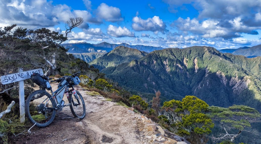
Quarter of an hour of climbing to gain Skyline Ridge and open views north to where we were heading.
 Down to the Stern Valley, we had six hundred metres to drop in not long. We’d ride along the valley floor, before climbing right through the Boneyard under that mass of rocks that looks ready to let go at any moment and then exiting through the bush at the saddle on left of the centre ridge.
 But first we had a ridge to ride along, and then down – more walking here as the track deteriorated again, steep, tight and rutted out.
 Bit of a carry down scores of steep steps.
 Ooh, trail building – perhaps a way around the Skyline Steps, and ridge (?), has been found…
The descent from the bottom of the steps five hundred metres to Stern Valley Hut was not nearly as fun and flowy as I remembered, but things definitely sped up from here – which was just as well as prevening approached. We didn’t even stop for a cuppa at the hut, just briefly chatting with some hikers and topping up bottles.
 Climbing through the Boneyard is far more pleasant without direct sunlight!
Even knowing this time where the trail climbs through here, its exact path is almost as surprising and staggering as the route cut across the exposed ridge of the Lyell Range.

 End of the climb through the rocks, back towards Stern Valley from the north end.
The gradient relented for the last little bit of the climb to Solemn Saddle.
 Nice to be back in the bush.
Then for the riding highlight of the day, dropping from the saddle to Goat Creek was sublime. Far more flow through beautiful bush, it was quite the reward for all the effort throughout the day. Much fun.
 A short detour to spot Goat Creek Hut, but we didn’t fancy fording the creek and getting wet feet just to get closer.
Only eight kilometres to go to Mokihinui Forks Hut, all alongside the south branch of the Mokihinui River. Overall it was flat, but still a few little rises to crest and coast down. Now late in the day, we did the last half of this section in the dark – pleased to get to a sweet little hut. Basic compared to the grand Old Ghost Road ones, it more than met our needs and we reflected on a great day – a bit slower than expected, but can’t go past the spectacular views and the audaciousness of a trail through such country.


 That didn’t last long. Nina’s photo.
 The views easily distracted from the task in hand.
 Can just spy some of the Incline tracks in the bush.

 We must have passed the extent of the mining as the fauna turned more to forest than scrub; just short of the high point.
 Out to the Brunner Range.
 The Glasgow Range on the left, the Lyell right of centre – Old Ghost Road territory, and the distant Richmond Range on the far right. What a clear day!
 Rocky Tor, which is so close and prominent while riding the ridge on OGR, clearly visible.
 The coal is back.
 We’d been up at those pylons but minutes before; partway up a grunty little climb to a short plateau.
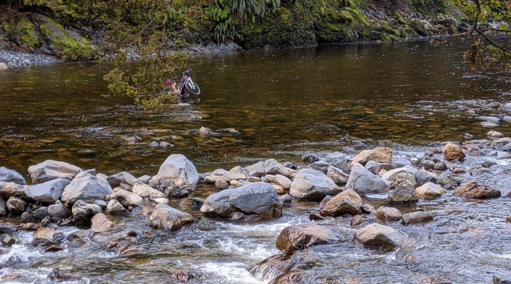
 Didn’t keep feet completely dry, but the afternoon was warm in the sun and thankfully my newish shoes dry a whole faster than previous ones.
 Pete making the third crossing. Limited photos as phone stashed in dry bag, as were a lot of clothes.
 Still, the signs kept up – most helpful.
 Made it – out to the Buller River on dusk.
 More nice rocky trail, heading towards Croesus Knob – must wander up there one day.
 Towards Moonlight Tops. Spot the trail, left to right.
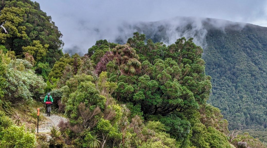
 I do enjoy this view, anticipating getting to the escarpment on the right, and then riding very close to the top and edge of it. Not least for the goblin forest that covers this section.
 The mossy trees don’t have quite the same atmosphere when there’s no mist sneaking its tendrils through; but certainly not complaining about such a clear sky!
 Continually distracted studying the old forest.
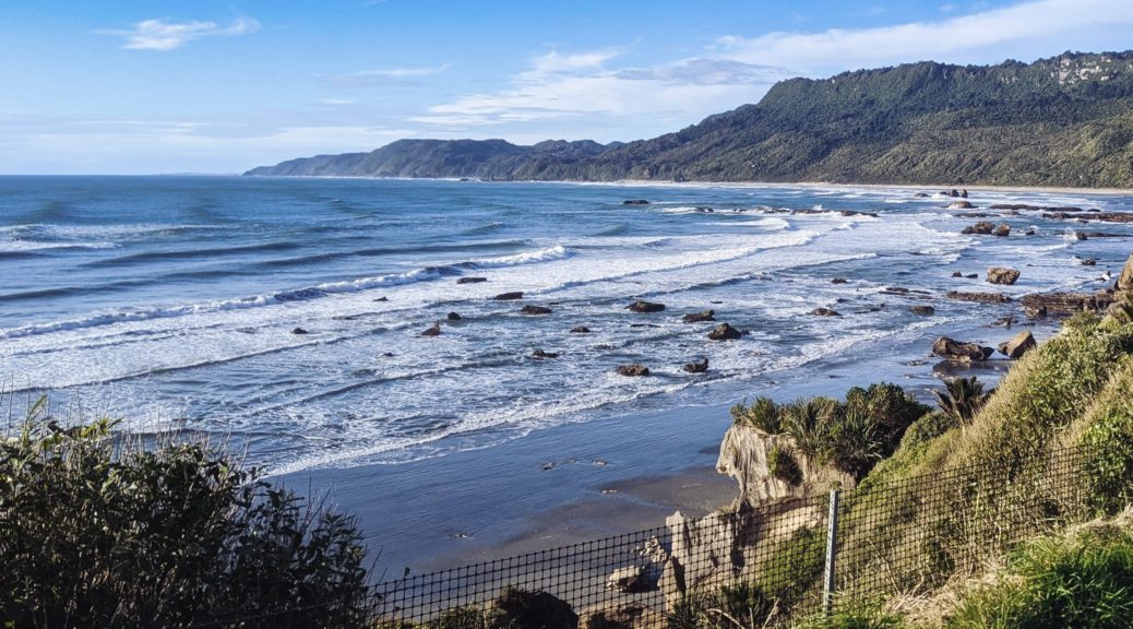
 Popping out of the forest briefly to see the sea.
 Ooh, the emergency shelter has been upgraded considerably. Digger garage this end, enclosed shelter other end – another good bivy spot.
 With no one else on the trail, I didn’t feel rushed to get off the bridge beneath this waterfall and managed a couple of snaps this time.
 One of the more tightly-switchbacked sections through some enormous boulders.
 It would be a shame not to stop at this thoughtfully provided seat.
 As I was the previous time, I was transfixed by the tight contours of this peak – Lone Hand. The topo map is a mess of packed, twisted lines.
 Such a nice, still afternoon there was no need to have afternoon tea inside the last hut.


 Calm, clear and mild for a late-afternoon ride – Southern Alps off in the distance.
 Heading into Fox River.
 Getting towards the northern end of the Paparoas.
 Pleased to have the bags back on, and keen to see how a suspension fork goes on these technical trails. I survived rigid
  The day’s destination – them there hills.
 We joined the West Coast Wilderness Trail along the coast to Greymouth, where it took an age to buy a hut ticket.
 Oh, is that it? Of course, DOC *eyeroll. We saw much worse than this on, open, main West Coast roads. Clearly, we passed this easily on bikes.
 Time for what must be one of my favourite climbs – the old Croesus pack track.
 Ooh, this is new and more colourful than I’m used to for such things.
 Much of the two hour, ten kilometre climb is graded like this (around six percent) and the surface is so long embedded that it holds up well in the local climate.
 A couple of bridges to cross before following the true left of Blackball Creek for some time.
 Love the moss and general green – so nice to be back in the bush, I miss it.
 There used to be a hotel here. Heading for that ridge up there.
 Bits of the trail are a bit chunkier.
 Emerging from the bush, almost there.
 Top Hut, perfectly good overflow shelter if the main hut happens to be full
  Over the Grey River to Lake Brunner and the Southern Alps beyond.