A day utterly dominated by the North Island Main Trunk (NIMT). It started by the night being dominated so, at least half a dozen trains thundering past kept me from sustained sleep – but I was rested enough to have fed the school cat again, packed up and got riding before dawn.
 Heading out of town, the road briefly followed the tracks – but they soon headed north as I went west.
Quiet country roads had the expected serving of climbs and descents as I warmed. Short, pleasant sections of gravel came, went, came again and eventually disappeared.
 Turning north, I was heading straight for Ruapehu – it far closer than the previous day.
Crossing the rails again, I joined the service road that is listed as an alternative for riding on the highway. It started out mild enough, I enjoyed passing motor vehicles as they carefully negotiated the large potholes. At times ballast had subsided from the railway, making for some deep chunky gravel. Approaching halfway to Ohakune, it got worse: there was a deep, swift stream crossing I wasn’t keen on, so that forced me onto a narrow rail bridge; then the service road had been freshly laid with uncompacted gravel for kilometres. Eventually I tired of that and bailed through a farm to the highway – I suggest the service road is avoided on a bike.
In Ohakune for a big, long breakfast I managed to avoid the draw of all things carrot-themed. The Old Coach Road trail held a far stronger attraction. Based on the old coach road (rather obviously) that for some years in the early twentieth century linked the two unconnected ends of the NIMT, it had clearly been well built. Over a hundred years later, the stone laid to bench the track and weatherproof it was still obvious. Routing of railways being even more dependent than bike trails on making the best use of the topography, the interpretative panels were a fascinating study in history, geography, engineering and perseverance in trying conditions.
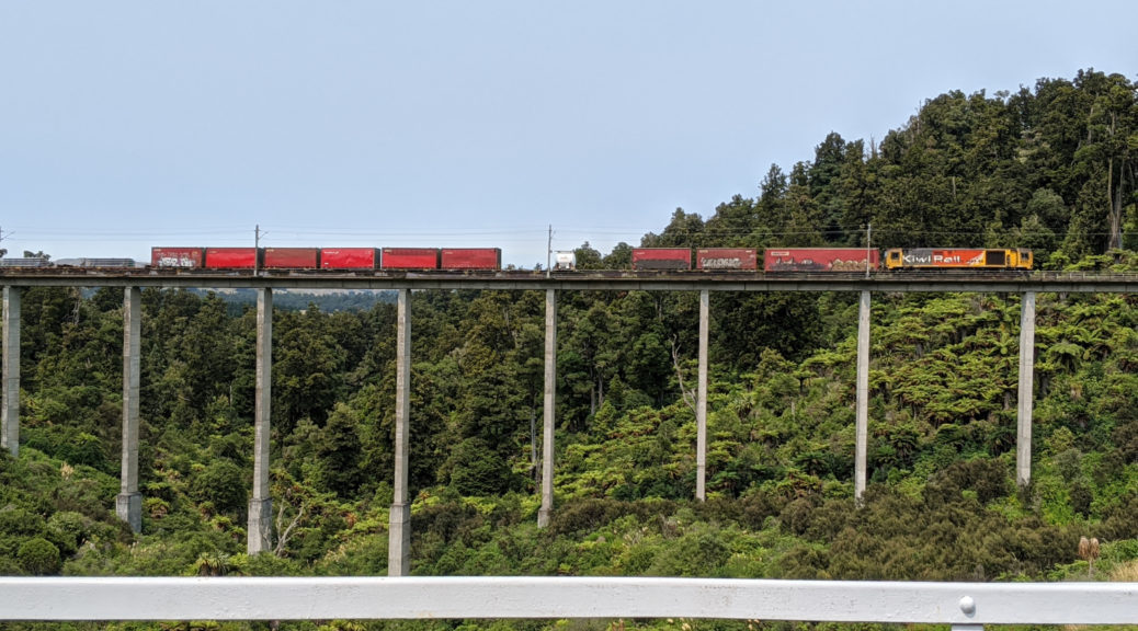
 A more recent, straighter, viaduct built to cater for increased speed of new trains.
 The old viaduct had been restored to allow human-powered passage.

 I was surprised at just how short the trains were; I expect, and hope, there’s some technical reason for that.
 The riding was most pleasant too, the green cover keeping the heat away.
 Another closed viaduct.
 This sign gets the day’s “bleedingly obvious” prize.
The northern trailhead deposits one in Horopito, home to a car wrecker’s yard since the forties it’s quite the juxtaposition with all the surrounds.
 Another Ruapehu shot, this time with decaying transport relics.
 One of the more well known of such establishments in NZ, it’s been used as a location for quintessential Kiwi films such as Smash Palace, Goodbye Pork Pie and Hunt for the Wilderpeople (not majestical, however).
Twenty kilometres of undulating highway took me north to National Park, a late lunch and resupply for the next eighty kilometres to Taumaranui. Alongside the NIMT line again, the tourist train (Auckland – Wellington) rolled past, I must do that trip one day.
 For a change, Ngauruhoe
For the second time in the day, I was excited to get to ride for the first time a trail that I’ve known of for years – but never had occasion to explore. Fisher’s Track would, in quick fashion, drop through all the elevation I’d been gradually gaining over the day and much of the previous day’s too. A paper road through native bush and then scrubby farmland, it was also well formed and, in the dry weather, easy riding. After all the climbing, a fast and effortless way to cover twenty-five kilometres – even if I had to earn half of it back soon.

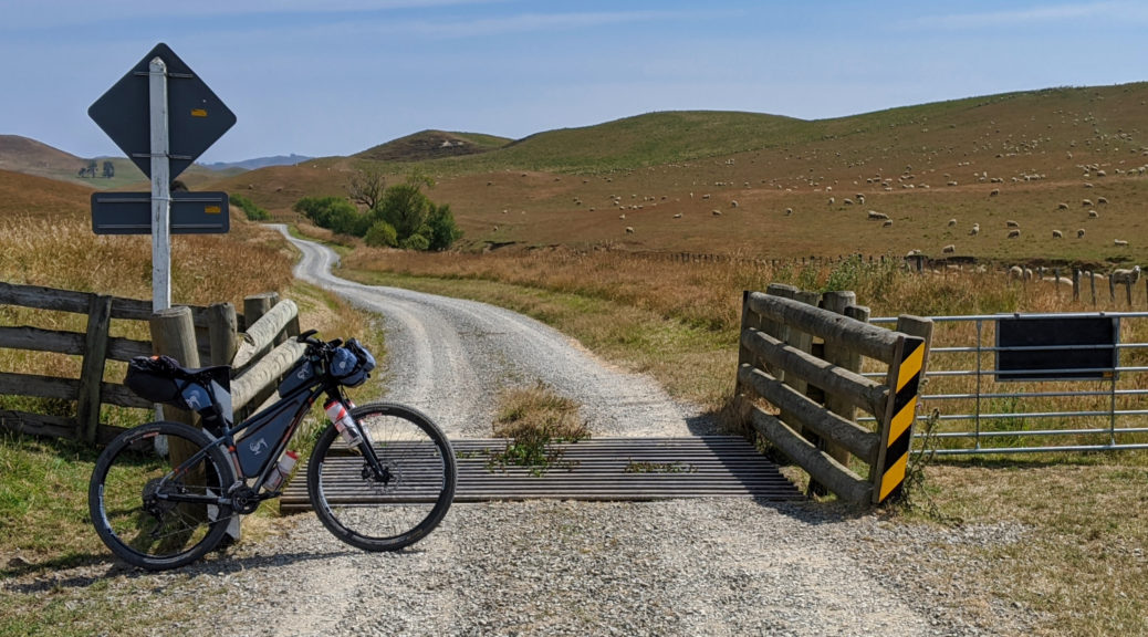
 Seems legit.
 Farming around here didn’t look particularly profitable.
Easy gravel riding down the Retaruke River valley took me to a decision point. I could retrace a gravel section I’d done on Tour Aotearoa or see what the alternative sealed option up to Owhango looked like.
 First I paused at the Kaitieke war memorial.
Seeing new places won out over even gravel riding, so up Oio Rd it was. It started mildly enough, before kicking steeply to quickly give three hundred metres gain. After a day of middling temperature, a high smoke layer had helped, at five in the afternoon I was sweltering on that climb. The gloves were off, along with the helmet and skullcap. No need to stop at Owhango, it was straight into what I remember as an exceptionally long, hot and scenic climb on the TA. In this direction, I was looking forward to the drop to Taumaranui.
I’d conveniently forgotten the lumpiness at the top, and the little climb. But then it was mostly downhill, and still scenic – this time in evening light. Down Hikumutu Rd and through the village, the community swimming pool was tempting.

Crossing the Whanganui for the first time on this trip, I was once again taken with wonder pondering how this already large river makes such a long circuitous journey to the sea through so many hills with little elevation to lose. Finding dinner may have also taken a fair chunk of my attention. My favourite cafe from previous bikepacking trips was long since closed that day, but Thai cuisine was a nice change from the usual fare.
With an hour of daylight left, I still had riding time to spare – so I left the NIMT for the last time that day. While night riding is fine, one of the most important motivators for me on such trips is seeing things – that doesn’t happen so much following a small beam of light through the night. This end of the Forgotten World Highway being relatively flat, I assumed I had sufficient legs left to potter on into the fine evening. As dark gathered, I popped into the Ohinepane campsite – it was strangely busy, and also had quite a few mosquitos; I continued. Nearing ten, I found another country school and settled in for the night in the tiny vestibule of a small historic-listed building. The chief purpose of the room seemed to be to house the community’s AED and scores of spiders.
Off to sleep with no mosquitos for company, I was once again pleased with all the new things I’d seen, new trails and roads covered, good food and pulling the average up towards the two hundred kilometres per day that I was counting on to get home in time. Only the slightest of niggles appeared, but I’ve long since learnt generally something will hurt a little bit and it’ll move around.


 Early morning, I also worked in a roadies’ favourite that I’d not ridden before.
 Gradually I climbed above the Ngaruroro and headed to join Napier-Taihape Rd.
 It certainly was tranquil back down at the Ngaruroro.
 Refreshingly cool water, I soaked my legs for some time before climbing back up to the road.
 I was about to drop a lot of height – but the sealed road does that too.
 Alongside the Mangaohane Stream, things flattened nicely.
 I enjoyed this 150 m climb.
 The descent to and then climb away from the Rangitikei is far gentler than on the main road and really quite nice.
 After such a clear day, over here I was surprised that there was a fair bit of smoke sitting around having drifted again over the Tasman.
 Suddenly, Ruapehu again.


 Northern Kawekas obscured – but the plateau in the centre is where Steve & I ended up on the Sunday morning of
  I still haven’t done the Bell Rock hike, but I knew we had to climb to about the height of that ridge before the last long descent.
 At the junction with Pohokura Rd a little sun broke through to throw dappled light on yet another section of road to explore.
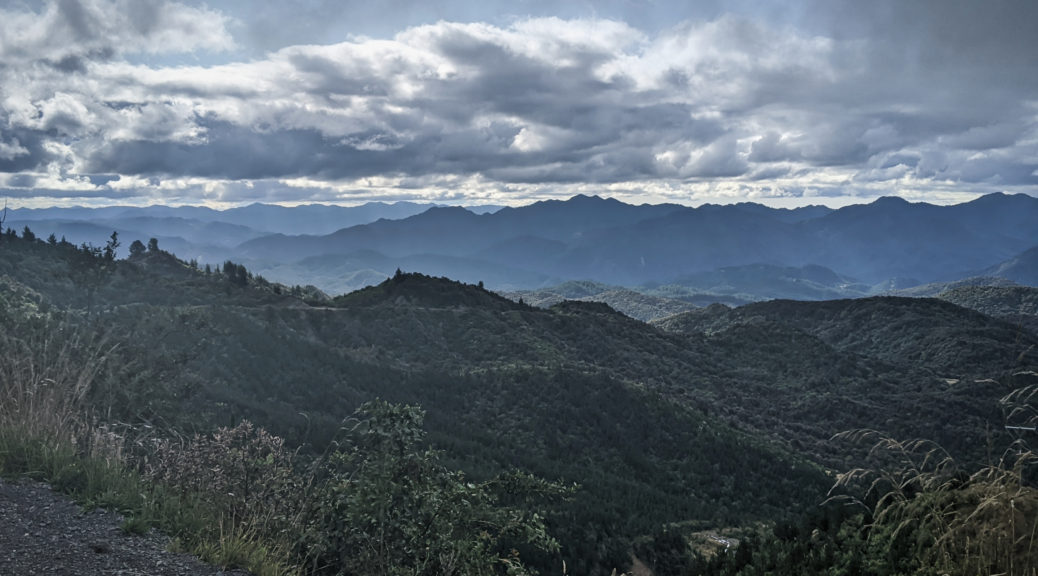
 Most of the way up, one could look northwest over to hills we’d recently been riding through and around.
 Clagged in again, but there was no rain on the long descent.
 Looking west from Matahorua Rd, almost there…
 Across Lake Whakamarino to the Tuai power station.
 Over twenty percent, it wasn’t the easy option – but it was quiet.
 It flattened out ever so slightly.
 Across Whanganui Inlet
 Leaving the lake and heading north.
 I wouldn’t have been too surprised if that sign proved correct.
 Is that the fish or the frybread?
 Ever so slightly more rugged gravel road riding.
  Not quite looking up in time…
 At the top of the first climb, back in Hawke’s Bay and admiring the ferns.
 Where it promptly began to rain again.
 Up and over another couple of ridges, it was nice to be out in the late afternoon sun at Roger’s Hut.
 Pete emerging from the mature native forest.

