Category Archives: MTB

Ketchum

From Boise it was a two and a half hour drive out west to Ketchum & Sun Valley to meet Miles & a few others for a ride.  We left in plenty of time & after leaving the freeway early on, Highway 20 west curved back & forth & up for a while before levelling out & going through yet more cropping land. With lots of what I would deem classic American rural buildings it was a most interesting drive – & being overcast a lot more pleasant than the previous day’s.

Turning north we went through a couple more rural towns before getting to Ketchum. We were really surprised to see dozens of Lear jets sitting off the runway at the local airstrip. On the way back we counted over sixty-five – it was quite the juxtaposition with all the rest of what we’d seen of Idaho. Apparently Sun Valley (pretty much adjacent to Ketchum) is quite the ski-resort (first chairlift in the world we are told) & the playground of the rich or famous (Zuckerburg, amongst others, has a place here). With some event on this weekend, the literal jet-set were kicking around – but I didn’t see any that I recognised. Making do with the aging Subaru we arrived in town to have a pleasant look around – I managed to regrease my bottom bracket while waiting for the others to arrive.

With the help of Karl (our local friend-of-a-friend-squared) we decided on a loop to ride from town. It was a bit of a road ride out of town & we were all honking along gradually climbing; I couldn’t make out why I was slow. Eventually I stopped & readjusted my rear wheel (2.2″ tires don’t fit so well in my bike’s rear triangle) – but I was still feeling a bit slow. We turned off the road onto doubletrack & I was rapidly losing ground – I couldn’t work it out. Was it the 2.5 hours’ sleep the night before, tired from too much riding, being back at mountain altitude? Whatever it was, I was exhausted, slow & ashamed to be holding everyone up. Finally, my tired little brain realised that my new brake pads had taken it upon themselves to start rubbing on the disc a lot. Eventually I caught up to the waiting group, fixed my brakes & got the wheel spinning freely & we continued up the hill.

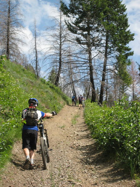
As the climb continued to get steeper, I didn’t feel so bad as the surface was loose & soon everyone was walking for quite some time (even Don, who I think showed us all how to climb).

But I was still totalled from all the extra resistance early on & it was as humid as I’ve felt it in months. We completed the climb (about 600m in 6km) & got in amongst some shadier trees on the saddle to start riding the Eve’s Gulch trail down.

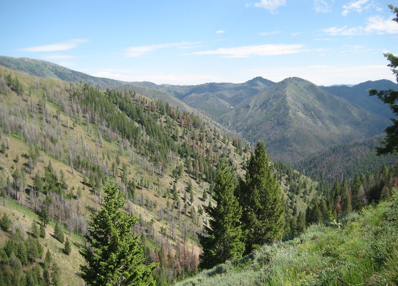
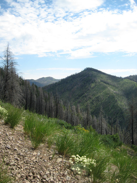
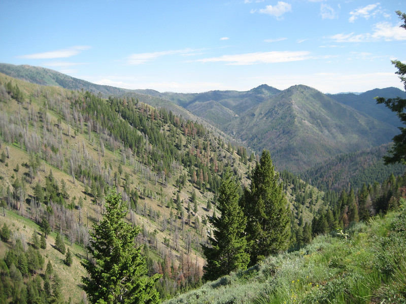
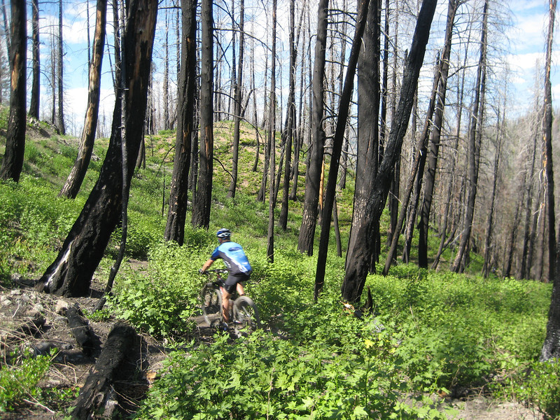
Tired as I, the downhill was fantastic. Pretty twisty, but not all that technical, you could get some speed up between the corners. There was a bit of dust around, which made me a little tentative pushing the front wheel out around corners – but mostly it was a good fun run down. It was great riding with others & being able to chase a back wheel down the trail for a change. Tim, in particular, rode a good pace just back from where I’d be putting myself on the edge of control. We went through an old burn zone, but even that looked nice – just a beautiful day to be out on the trail. Here’s Miles disappearing into the trees.

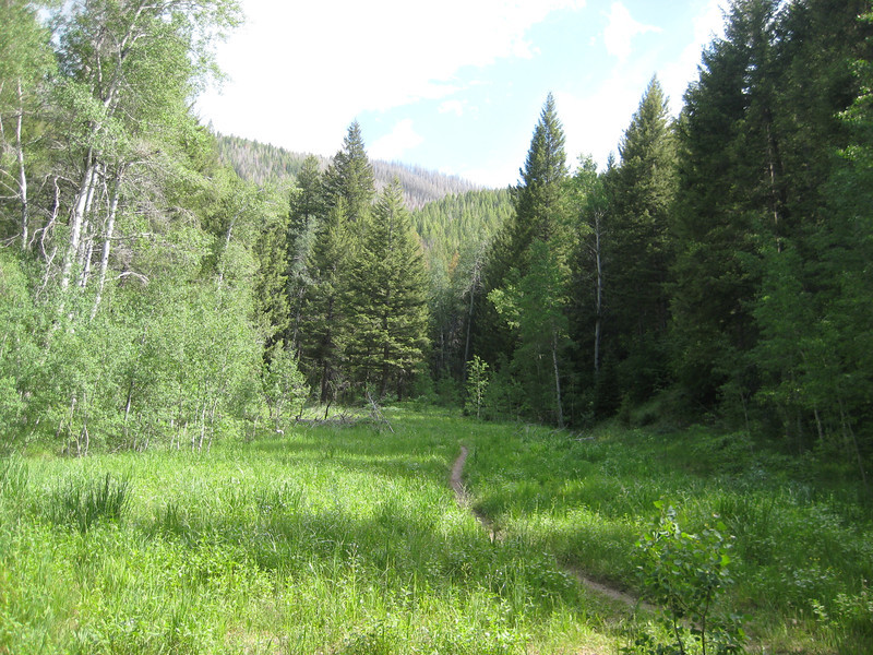
We had a good plunge down before the trail levelled out & we traversed along Shady Side – another enjoyable piece of singletrack.

With one last bomb down a single/doubletrack mix we were back on the road heading into town. After cleaning up there were some well deserved pizzas & beers before Valerie & I made the trek back to Boise with a really nice sunset to watch over the foothills.

Wanoga Sno Park ride

All the people I asked yesterday to suggest a ride for today recommended Wanoga Sno Park & the Funner Trail. OK – that was only two people, but one of them did happen to own Cog Wild (the premier MTB guiding outfit in town). Trail maps & gpx files proved difficult to find online, but the a trip to the information center showed that once you found the trailhead it would be very hard to get lost.

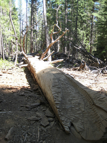
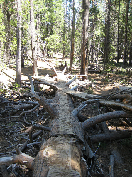
I started riding a little earlier than I had intended, as Valerie had to drop me & then get back near town to go horseback riding. Funner started out rather flat & not all that interesting. It was nice & dusty up this way too. As the trail continued it did start to drop off nicely & there were a lot of trail features to play with. One particular log ride was pretty neat. In amongst all the dust, groups of big volcanic rocks would appear all of a sudden. Riding by myself I quickly became annoyed that I wasn’t quite confident enough to ride all that I should & could have – that potential freak accident in the back of my mind. Still, it was a fun little downhill.

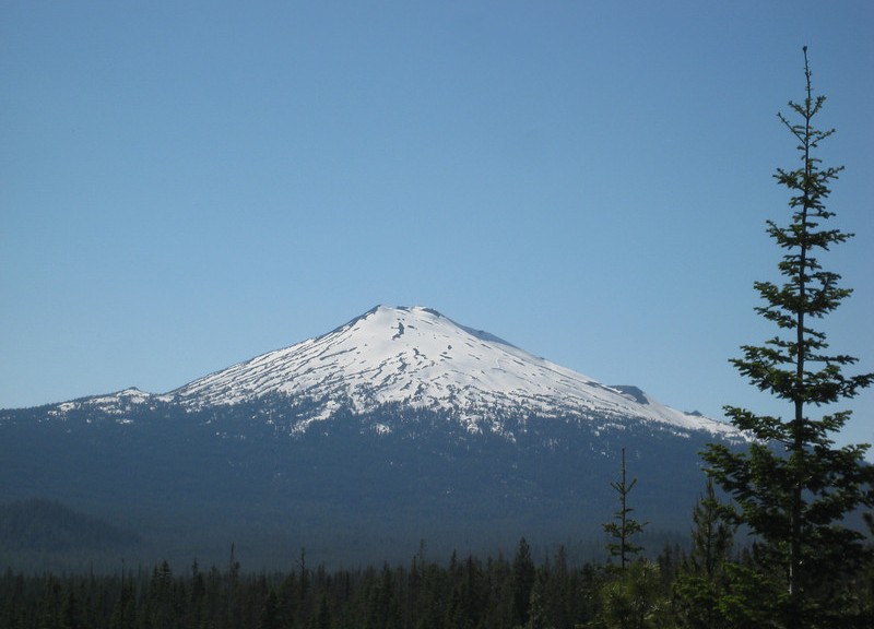
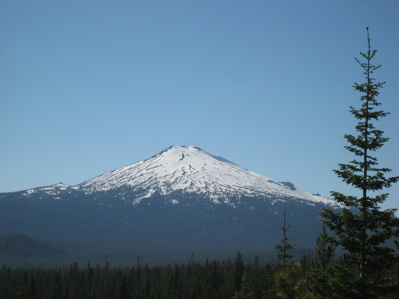
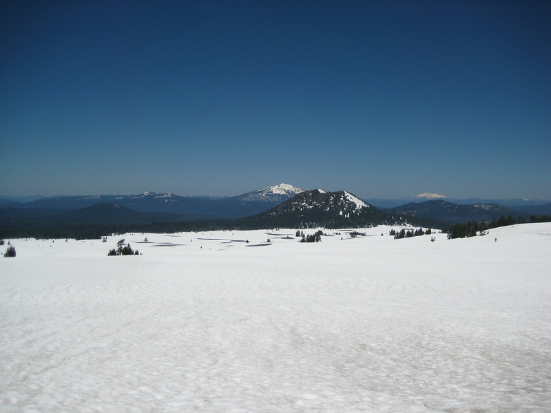
I had a good yarn to a couple on really old rigids – they’d been in Bend three years, only been skiing once & this was their first time out riding. Crazy. Shortly after Funner ended & I started riding up Tiddlywinks to the parking lot. This trail is much longer than Funner, so I expected the gradient to pretty easy – but most of the altitude was gained quicker than I thought! On a little rest break a local rider, Chris, caught up & we took it in turns leading up & up. We didn’t make it to the trailhead as Chris knew a side trail to Kiwa Butte & then further on. Following someone became a bit of a problem as one couldn’t see through all the dust. Mostly we climbed to 1700m & could finally see something other than trees – Mt Bachelor. The ski hill on the north (right in the picture) slope was open this past long weekend – I should have carried my skis around for 16000 km (unlikely).

Turning around, I was rather weary & led for a little but then let the local go ahead & literally leave me in his dust. It was little wonder that I had an instant tan at the bottom. Going down Tiddlywinks was actually funner than Funner – for me anyway. There was a neat section with big bermed corners & lots of jumps & doubles – not that I could clear any of the doubles. A good outing all up, I just need to make sure I have some new brake pads & regrease my bottom bracket before I head out next. We’re off to Idaho tomorrow – unplanned – to go riding with Miles (from Fruita & Moab rides) before we come back to Oregon (which I’m still loving).

Crater Lake National Park & first Bend ride

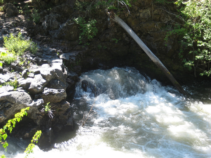
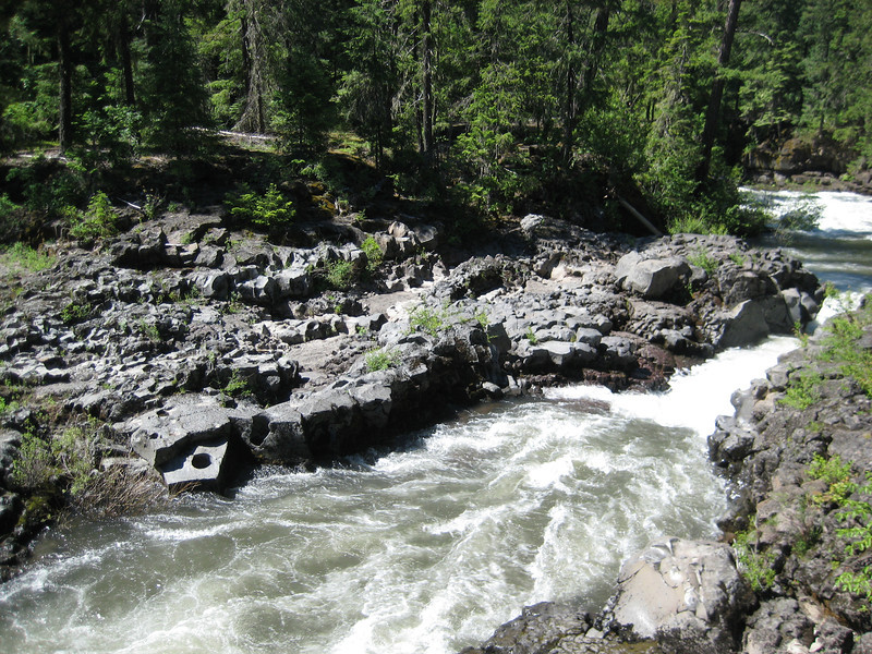
Back on the national park trail we left Medford & headed north towards Crater Lake. Driving through a few small towns there were a few extra flags out lining the main streets & many firework stalls as well – as you’d expect on July 4. More scenic driving continued along rivers (the Rogue – another great name) & beside forests – a brief interlude was stopping to see a natural bridge. This one was a little different to the ones we had grown used to in Utah – made out of an old lava tube. The outer of the flowing lava cooled & solidified while the molten lava kept flowing, leaving a tube that the river now runs through since the lava has long since stopped running. With the river running so high, the river didn’t disappear completely (all that water couldn’t fit down the tube) – but you could see where the water was coming out of the tube with quite some force. A different interesting little diversion.

River exiting the tube

Ordinarily, the river would flow completely underground here
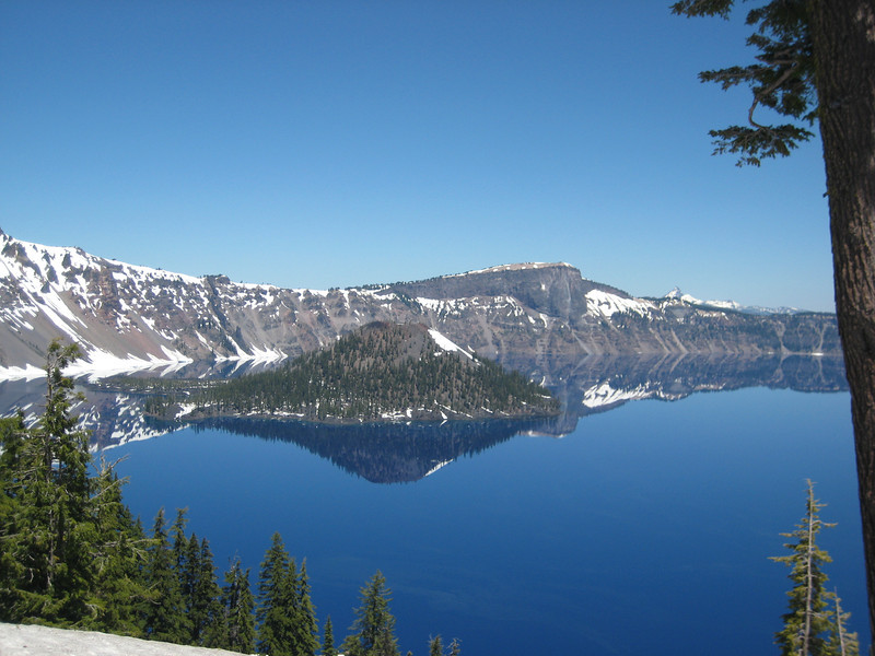
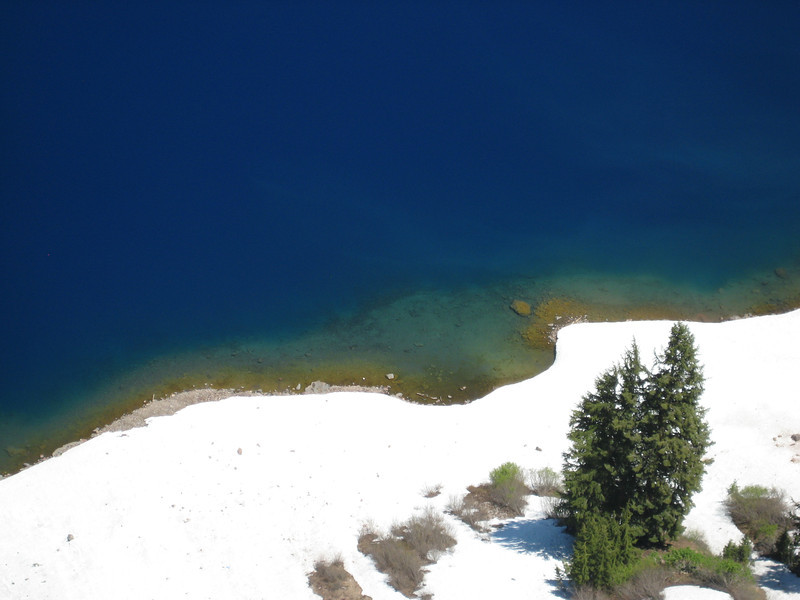
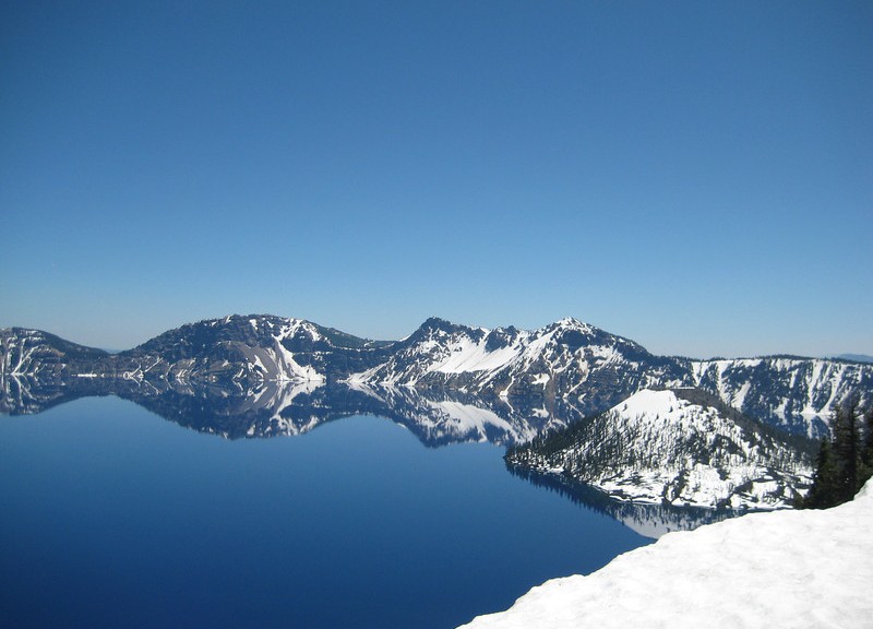
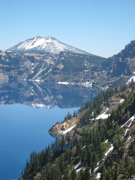
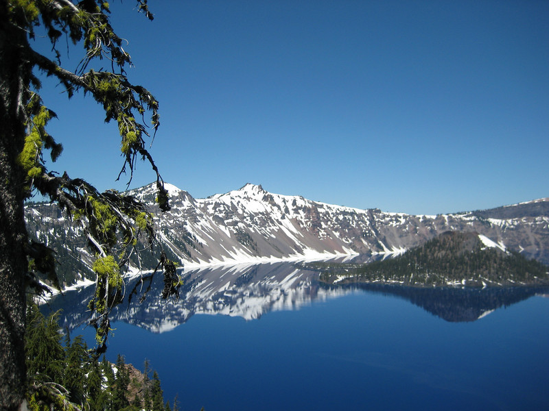
We hit the snow line at about 1500m as we continued towards Crater Lake. It got thicker & thicker & at the Visitor Center, it was two to three metres high in parts. With an above average 16m of snowfall last winter & a late spring, it was still very white & only one hiking trail was open (& that only for the long weekend). Crater Lake is actually in a caldera of an old volacano that collapsed on itself. I was expecting the lake to be beautiful, but this was something else – perhaps the most jaw-droppingly amazing thing we’ve seen yet on our little drive. With water only entering the lake as rain or snow & no rivers or streams exiting the caldera, the water is brilliantly blue. With the shelter of the caldera rim as well, there was no wind to cause even a ripple on the surface. Add to that the clear sunny day & the snow around the rim – the sum was something fantastic. Here are a few pictures – more here.

With a bit more driving on Valerie’s part we eventually got to Bend late afternoon. After settling in to the motel, I couldn’t resist getting straight out & hitting a trail in what is one of the top MTB towns in the States. As it was getting late & there were fireworks to go to later, I found the Mrazek trail on Garmin Connect. It was close to town & as an out-and-back I could make it last as long as I wanted – fitted the bill nicely.

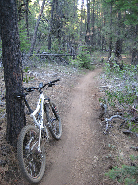
It was a great introduction & a lot of fun. Mostly a (very) gentle climb on a nice wide dirt trail (bit of a shock to be back riding in dust after the previous snowy rides!). There was one section that had a few switchbacks that were markedly steeper & there were some technical rocky step-ups to negotiate; but I dug deep into the recesses of my riding brain & remembered all I’d learnt in Colorado & Utah & cleared them all. I continued steaming up the trail in a high gear until I figured I had better turn around at seven o’clock.

As I expected all the way up, going down was neat. I don’t think I realised how twisty it was as I was climbing, but I quickly found that I couldn’t go as fast as I’d imagined I would. Still, not having to pedal as much is always good; although I did spend quite a bit of time in the big chainring – it’s not often that happens for me on singletrack. My short little evening ride turned out to be 24km – but it didn’t take long, so there was enough time to get home, shower, grab a meal & then find a good place to watch the July 4 fireworks.

Launched from a small hill just east of the center of town, the show didn’t start until ten o’clock. After a rather monotonous first five minutes (it wasn’t bad, just all the same sort of firework), a bit of variety was finally introduced & it turned out to be a really good display. At over twenty minutes, it was also quite long for a Bend-sized town. Finishing with a flourish it was well worth having headed out to see them – plus we got to sift around various street parties with fireworks going off all over the place.

Paradise Royale

Initial investigations led me to believe this ride was near Arcata, just north of Eureka.  It turned out it was a long way south – almost two hours’ drive (back past the Avenue of the Giants & then some really twisty roads striking towards the coast). But as Eureka was very cloudy & generally bleh, there wasn’t much to be lost by taking a day trip south.

The trail, near the Lost Coast (quite isolated for Californian coastline) is about five years old & it took me a couple of hours to ride the 18km. You can see the effort that went in to constructing it – it’s beautifully built for mountain-biking (pleasing to see the bikers have right of way for a change). The trail was in great condition, I’m not sure it would need a lot of maintenance as it’s so well built – but I imagine the fallen leaves (covered most of the trail) are trouble when they are wet. Also interestingly, at a couple of the stream crossings you are instructed to use the stepping stones as walking on the gravel bed disturbs the young endangered salmon.

Back to the ride itself – starting from the new trailhead it was pretty level for a while before passing the bottom of a recently constructed terrain park (looks fun, but I didn’t want to keep Valerie waiting longer). There’s a nice 150m vertical descent before the first stream crossing. From there it’s an almost uninterrupted (there is a brief respite two-thirds of the way up) 400m vertical gain. This is mostly pretty good, but stubbornly trying to stay in the middle ring all the way up wasn’t a great idea. Eventually I got to one bit that was too much for my legs, so I had to succumb to the granny ring for a few minutes. Most of this is all in thick forest & with all the switchbacks it was never too warm. As the trail levels briefly there are some small grass clearings, but never enough for a view.

The trail maxed out at about 760m above sea level before starting an excellent downhill. Most of the whole loop is pretty wide & this was no exception – wide & fast. There were plenty of little trail features that you could get nice air off & they all had really nice landings. Eventually there were a couple of places where you could finally see out to the Pacific – this wasn’t one of the most photogenic of my USA rides. The downhill continued nicely before slowly levelling out to 460m & the final stream crossing & climb back to the car. A really good ride all up, but you definitely earn that fun downhill – a bit of pity it’s so far out of the way (there is a campsite near the top of the terrain park).

After I’d cooled down, eaten & packed up we continued out to the coast to look at Shelter Cove. There were a lot of kitted-out hikers in the parking lot – turns out it’s one end of the Lost Coast walk (three days mostly along the coast). I got excited when I saw the black beach from a distance – but it wasn’t ironsand, just grey pebbles. Swimming was actively discouraged due to the surf – some really nasty looking waves that just dump instantly a couple of metres from the edge. That & the rogue waves that occasionally further up the beach & sweep bystanders away.