Category Archives: MTB

Paradise Royale

Initial investigations led me to believe this ride was near Arcata, just north of Eureka.  It turned out it was a long way south – almost two hours’ drive (back past the Avenue of the Giants & then some really twisty roads striking towards the coast). But as Eureka was very cloudy & generally bleh, there wasn’t much to be lost by taking a day trip south.

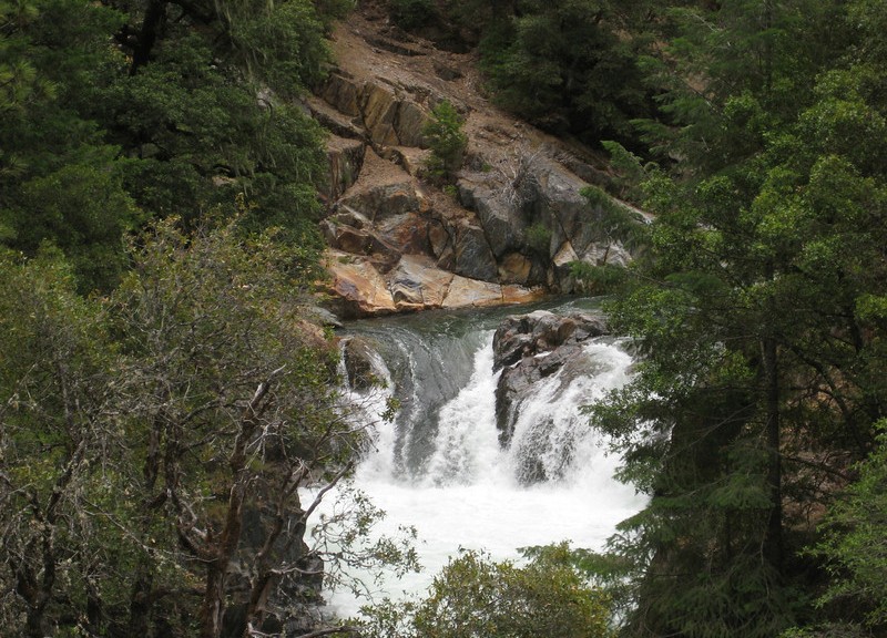
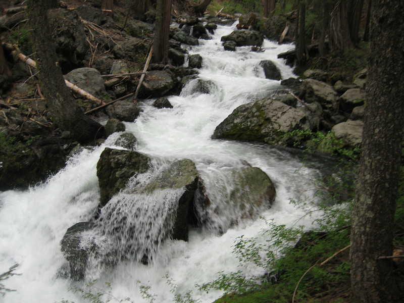
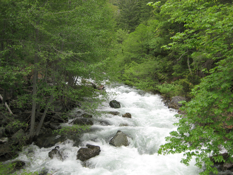
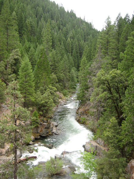
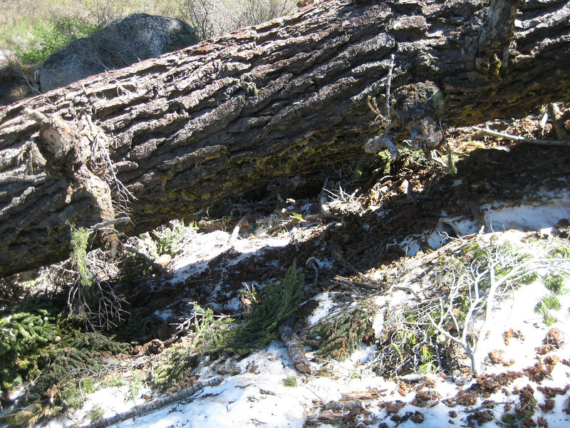
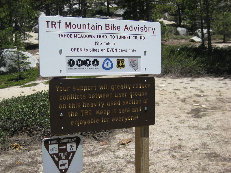
The trail, near the Lost Coast (quite isolated for Californian coastline) is about five years old & it took me a couple of hours to ride the 18km. You can see the effort that went in to constructing it – it’s beautifully built for mountain-biking (pleasing to see the bikers have right of way for a change). The trail was in great condition, I’m not sure it would need a lot of maintenance as it’s so well built – but I imagine the fallen leaves (covered most of the trail) are trouble when they are wet. Also interestingly, at a couple of the stream crossings you are instructed to use the stepping stones as walking on the gravel bed disturbs the young endangered salmon.

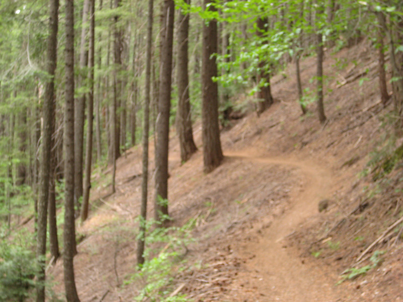
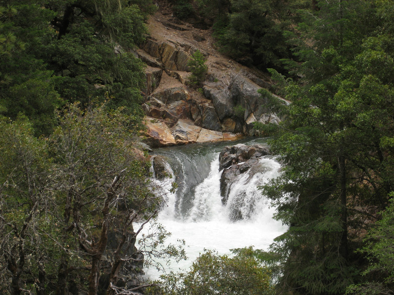
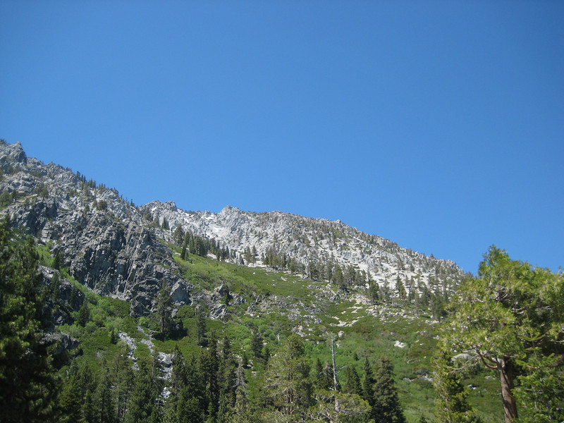
Back to the ride itself – starting from the new trailhead it was pretty level for a while before passing the bottom of a recently constructed terrain park (looks fun, but I didn’t want to keep Valerie waiting longer). There’s a nice 150m vertical descent before the first stream crossing. From there it’s an almost uninterrupted (there is a brief respite two-thirds of the way up) 400m vertical gain. This is mostly pretty good, but stubbornly trying to stay in the middle ring all the way up wasn’t a great idea. Eventually I got to one bit that was too much for my legs, so I had to succumb to the granny ring for a few minutes. Most of this is all in thick forest & with all the switchbacks it was never too warm. As the trail levels briefly there are some small grass clearings, but never enough for a view.

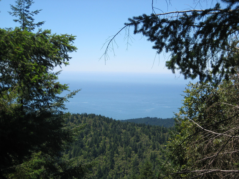
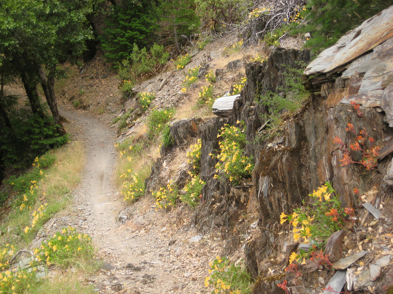
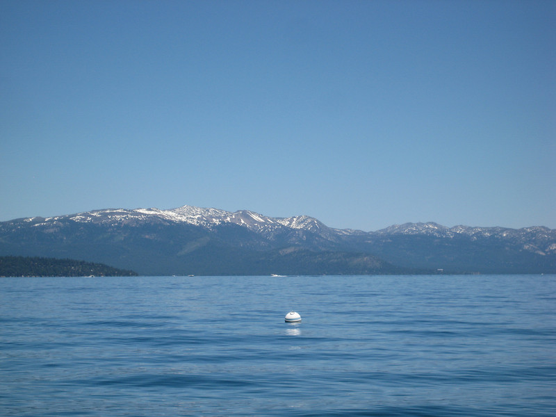
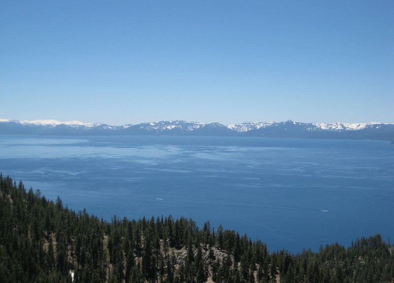
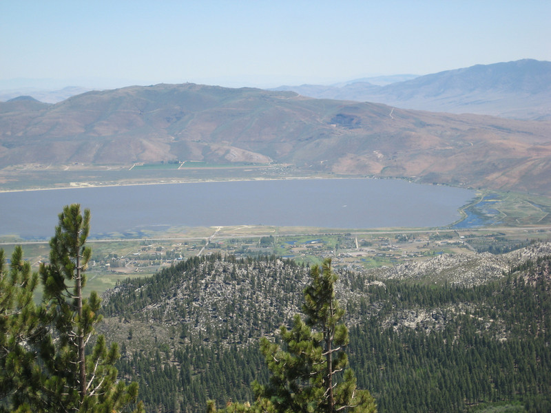
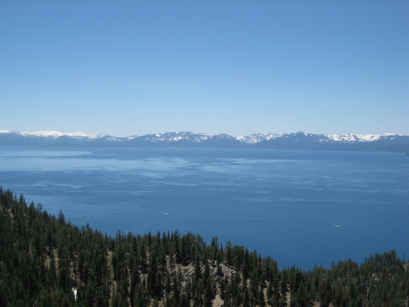
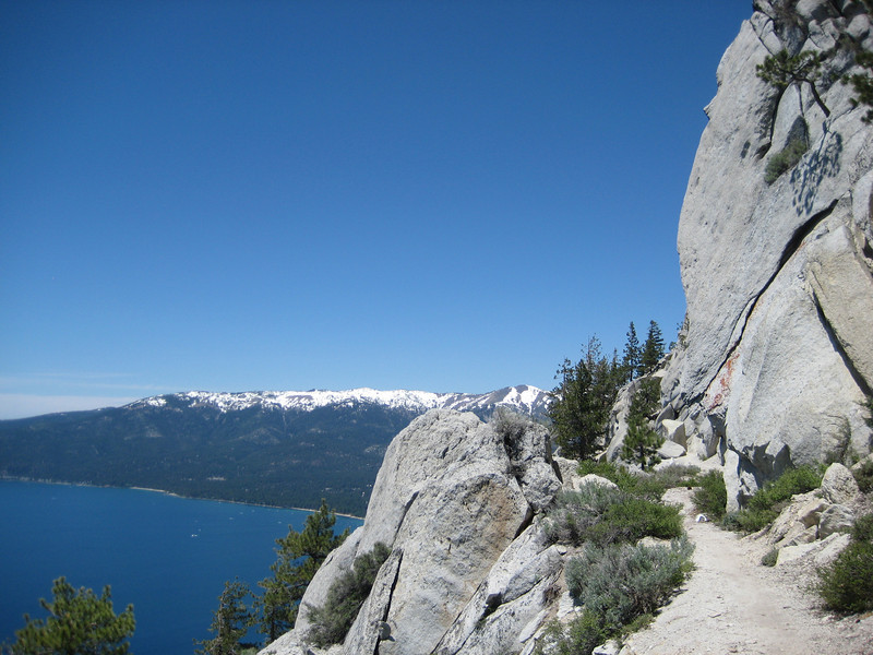
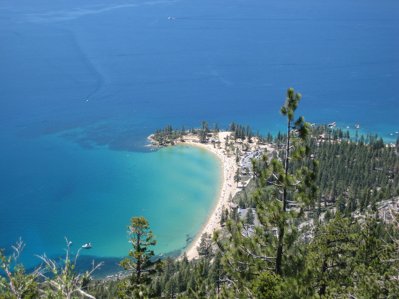
The trail maxed out at about 760m above sea level before starting an excellent downhill. Most of the whole loop is pretty wide & this was no exception – wide & fast. There were plenty of little trail features that you could get nice air off & they all had really nice landings. Eventually there were a couple of places where you could finally see out to the Pacific – this wasn’t one of the most photogenic of my USA rides. The downhill continued nicely before slowly levelling out to 460m & the final stream crossing & climb back to the car. A really good ride all up, but you definitely earn that fun downhill – a bit of pity it’s so far out of the way (there is a campsite near the top of the terrain park).

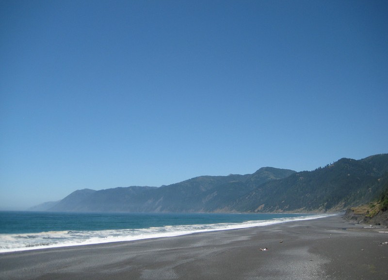
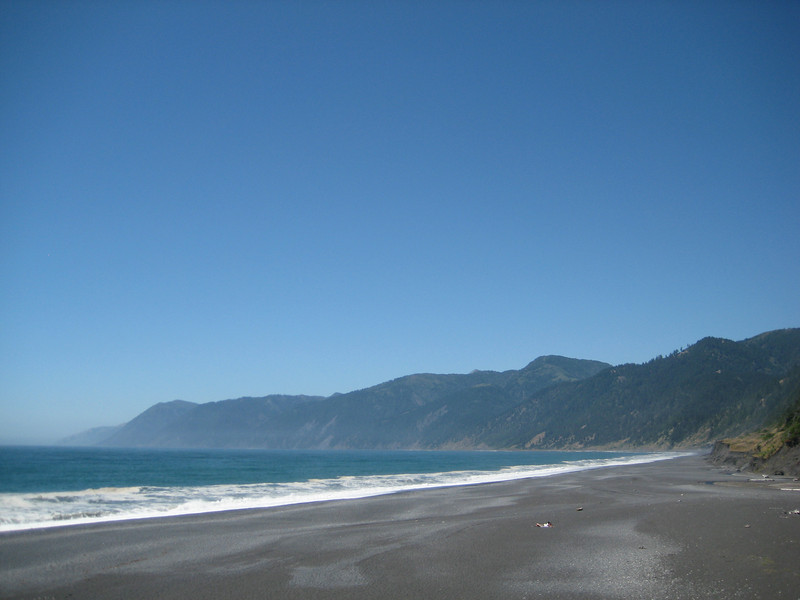
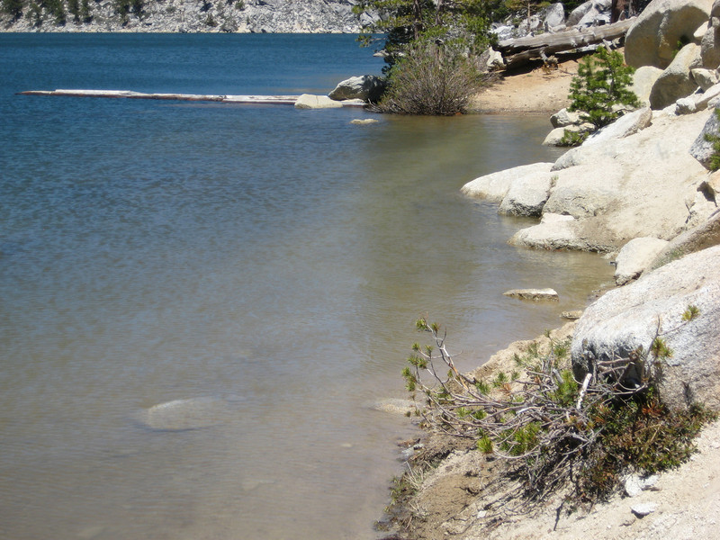
After I’d cooled down, eaten & packed up we continued out to the coast to look at Shelter Cove. There were a lot of kitted-out hikers in the parking lot – turns out it’s one end of the Lost Coast walk (three days mostly along the coast). I got excited when I saw the black beach from a distance – but it wasn’t ironsand, just grey pebbles. Swimming was actively discouraged due to the surf – some really nasty looking waves that just dump instantly a couple of metres from the edge. That & the rogue waves that occasionally further up the beach & sweep bystanders away.

Downieville – another snow-ride

Falling victim to the “I’m only here once, I had better do this ride” mentality again, I threw caution to the snow & decided to ride as much of the classic Downieville rides that I could. Valerie shuttled me to the top & there was so much more snow at 2100m than there was in Tahoe at 2500m. This is the as far up the road as they had cleared & one of the smaller snowbanks at what would normally be the trailhead.

For the first mile or so, everything was still hardpacked snow ranging from one to three metres deep. I expect the trail down is normally a nice gentle traverse to start with, but all the snow has taken any definition out of the slope – leaving it one really steep hill. I slowly made my way down, most of the time walking backwards kicking my toes in (studs in the front of my riding shoes may have been useful). I only had one slip & slid down a few metres & thankfully landed in a nice big tree well without hitting the tree. The first mile took me one hour as I vaguely followed the track on my GPS picking the easiest path I could see across & down the slope.

The next hour I managed to double my speed – I covered two whole miles! The snow had started to thin a bit, so there were brief patches of riding interspersed with more pushing, & wading through very cold & high running streams. I had long been tempted to put the rogue pair of toe-warmers left in my Camelbak from ski season in my shoes, but it wasn’t that bad.


After two hours I was surprised to come across a guy wandering up the trail with a couple of shovels. The local trail care association & some Forestry Service people have been clearing & tidying the trail from below. Apparently I wasn’t the only nutter out doing such things – fifty or sixty people had rode the trail over the weekend. This boded well – it must be a good trail. Apparently the snow is melting fast, just a few days ago I was told there was almost twice as much snow around! I could hardly believe that, considering how much I’d just seen. Shortly after, at around 1700m the snow was pretty much done with & I could get on with riding singletrack.

The trail crew had done a magnificent job & the trail was an absolute delight. Threading through the never-ending North Californian forest on a mostly dirt trail descending at a gentle, but good, rate was pure bliss. It was easily the best groomed trail I’ve been on during this trip, possibly in North America. The setting & the trail condition reminded me so much of the smooth, fun trails back home in Rotorua. Finishing Butcher’s trail (the one I’d supposedly been on from the start) & crossing the river there was a nasty shock of a climb (not bad, but definitely not going downhill) & I found the start of the Third Divide Trail at the top of the ridge.

Third Divide was more of the same – simply sublime riding in beautiful forest.

About halfway down it started to get a little more rocky & technical, but nothing much to slow one down. Although, I was taking it pretty easy after the morning’s snow trials. Near the end of the trail, with a big grin on my face, I met the only other rider I saw that day & we swapped notes of which trails to ride where around the west-USA. A brief stretch on gravel road & I was on First Divide into Downieville itself. This mostly followed the rivers down the valley & was slightly more exposed than the previous trails.

It was also flatter & had more rocks to deal with on the trail. Not quite as fun, it was still a very good trail in the scheme of things to get into town.

Just as I did make it into town the clouds that had been threatening to make my ride more trying started to send a little rain down – but it was none too bad. With the snow, it was the hardest ride of the trip, but with that came the rewards – definitely the best downhill section I’ve done.  If you get the chance, ride it – just wait a couple of weeks until there is no snow left.  Packing up, eating lunch & noticing more & more July 4 bunting coming out of the closet we headed south towards Sacramento.

Lake Tahoe & an easier ride

After yesterday’s little adventure, it was great to sleep in until nine.  Another clear day had dawned while I slept on & we eventually got out the door & went for a little drive west & then north around Lake Tahoe.  With summer starting (pity no one told the snow) the road was crazy busy & finding parking spots at Emerald Bay & Eagle Falls was quite difficult.  I’m quite looking forward to leaving the Californian traffic behind in a few days’ time.  We had lunch sitting in the sun on the shore, watching boats zip around.  I spent the time alternately trying to work out where I rode the day before (behind the opposite shore) & missing water-skiing on Lake Tarawera back home.  (But as it’s the middle of winter in the southern hemisphere, now’s not a good time to be in/on that lake.)

Back in town, I was keen to push the pedals around a bit – so headed out on a short ride close to town. With nowhere near as much climbing (or snow) as yesterday, I was quickly up riding the Powerline Trail, which was mostly undulating through beautiful forest. There were short glimpses of gorgeous views, but having too much fun riding I didn’t stop to get any pictures to share. I next wound & climbed my way up Incense Trail.

I was surprised to see a young bear run off down the trail a hundred metres away from me. Somewhat concerned at seeing a bear so close to town, potentially meeting its mother, & being alone & bear-spray-less, I started making a lot of noise (I did learn a thing or two in Canada) as I continued on. At the intersection with Corral Trail I was pleased to meet another rider to send ahead as bear-bait! We chatted a bit & the ride down Corral was great fun with lots of little jumps on the side of the trail. It was mostly road back into town, so that was quick. Even in my tired state, this ride shows just how slow yesteday was. Today I rode slightly less distance than yesterday, but in less than a third of the time (not much climbing & no snow made all the difference).

Lake Tahoe – snow-ride including Flume Trail

With two full days in South Tahoe City nearing the middle of summer, it was a great opportunity to check out a few of the legendary longer rides in the area. But this winter just gone being the winter that never stops giving (or taking, depending on your point of view) I ended up dealing with a bit of snow. Today I planned to ride from Mt Rose, along a bit of the Tahoe Rim Trail, the well-known Flume Trail & then down to Chimney Beach – as recommended by Mountain Bike Bill. However, when we got to the trailhead at Mt Rose it was completely snowbound so riding across Tahoe Meadows was not an option. We went back down the highway a little way to where I’d seen a rider go into the forest as we drove past. With the TRT on my GPS, I was pretty sure this random unsigned trail would link up to the TRT somewhere. But every hiker I passed (two couples) said that this wasn’t the case. But it was a gorgeous day & I had about six hours until Valerie would pick me up someway away, so I pressed on. For about five kilometres the trail traversed around at about the same elevation & I crossed quite a few patches of snow & some heavily running streams.

There were quite a few fallen trees to negotiate too – this one I ended up squeezing my bike & then me under (it’s bigger than it looks – easier to go under than over).

As I continued traversing I was generally 800 to 1000 metres from the trail I wanted to be on, which I assumed would be on the top of the ridge. As I was starting to look for an easy route up, I came across what looked like a big fire-break. It was steep, but clear of trees & more importantly, snow so I decided to head up it. Part-way up this exceedingly steep slope, I realised that it was a ski run (probably blue or black) & at the top would be a chairlift & I should have looked for a more manageable service road. So for about half an hour I slogged up Great Flume, gaining 250m vertical in one kilometre horizontal.

I was glad to reach the top of the chairlift & have a snack. Views off the east of the ridge were to Washoe Lake.

I found the TRT & was pleased to riding along it for a while. That was short lived as the hard-packed snow patches got larger & larger. But with such great mountain scenery & a pick-up at the other end, I was more than prepared to battle through extended periods of hike-a-bike – after, when would I ever be back in Tahoe doing the Flume Trail? Hardly an opportunity to pass up, even if it was exceptionally slow & tough going.

For quite long periods I was walking on steep snow slopes, eventually I found the trail intersection to the Flume Trail – a good spot for lunch. This sign was interesting – I hadn’t seen another person on the trail, I was the only one mad enough to be up there.

Dropping down a little to the Flume Trail, I finally saw some other riders – they had biked up a much easier way from Incline Village apparently. As I expected, given the history of logging in the area, the Flume Trail follows the path of an old log flume that used to run around the side of the ridge. As a mountain-bike trail purely it’s not particularly interesting, even in my slightly fatigued state I could cruise along it (slightly uphill in the south direction) in a high middle-ring gear (it seems two weeks at sea-level hasn’t completely killed my mountain lungs). But the scenery is something else. With that damn snow still capping the peaks on the far side of the brilliantly blue lake it was gorgeous.

At the end of the Flume Trail, there’s a little climb up to Martlett Lake. The lake must be full of snowmelt – as this is the trail.

Just as my socks were starting to dry from the previous snow crossing, they were soaked & cold again. But it was still warm out & I had many more patches of snow to avoid around the edge of the lake. With a mostly rideable climb away from the lake & the largest snow patch of the day to cross I was ready to leave the fireroad to Spooner Lake & find the downhill trail to Chimney Beach.

Climbing up there was still more snow to negotiate. As before, the snow started to get a little thinner as I descended through 2400m & I could finally start ride & therefore enjoy the downhill singletrack. There were a few more spots of snow to negotiate in the shadier areas, but mostly I could ride around or over it. Dropping about 600m in 6km the ride was great fun & easily the best part of the day. It wasn’t overly technical, but there were plenty of big bermed corners & some water bars to get a little air off.

Definitely a ride I’ll remember for a long time, with an average moving speed of only 8 km/hr it was plenty slow – but on such a stunning day & with gorgeous scenery & a brilliant downhill to finish, it was all well worth it. Just perhaps I’ll return when it’s proper summer.

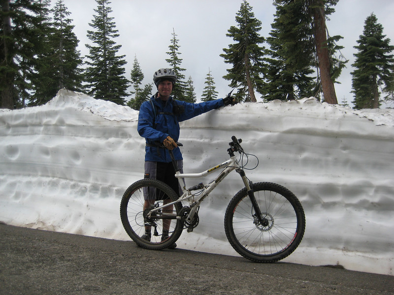
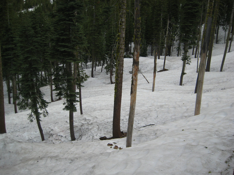
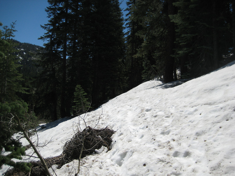
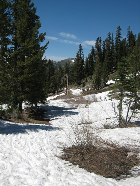
From late in the day, when there wasn’t so much snow around.
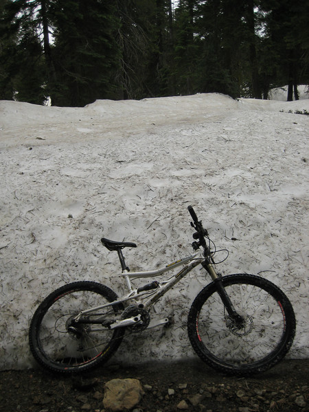