I could get used to the touring life of making the most of the good weather and resting during the awful. While the first week had involved sitting out a fair few days, it was interspersed with absolute crackers and great riding. So I was not going to waste the quickly-closing clear window, despite having ridden the entire Paparoa Track the day before. With the fluidity of my plans, I’d also not booked any huts on the Old Ghost – so it made sense to attempt to ride all of it in a day, and I’d have to carry less too.
Possibilities of getting a lift to the start didn’t work out, so well before dawn I set off for three hours of quiet road up the Buller. The day lightening, plenty of mist was revealed.
 Hawks Crag; for some reason I still vividly remember stopping here for photos on my first trip to the South Island in 1994.

 The day brightened and the mist showed signs of clearing.
At the Lyell trailhead, the parking lot was filling up with a few large groups – they looked fast. Snacking briefly, and avoiding the midges snacking on me too much, I left the busyness and was surprised not to see these people again. I’ve long waited to ride the whole trail, last time I was here (mid-2015) the middle section had not been put through – so James and I just rode to the tops and returned in a day trip. There was much anticipation of a long, but fantastic, day on one of the country’s best long distance mountain bike routes. Really, with the Heaphy and Paparoa, the West Coast is quite the place for such things; what assets.

The almost-four hours of climbing through the native forest was relatively unchanged and it was great to see it again. Edge protection where the trail traverses the big slips was an addition, and certainly reassuring.
 Just the standard West Coast track come waterway.
 Blue sky and sun becoming more prevalent, twas lovely in trees for the climb.
 Heading for Lyell Saddle, and hut, centre background.
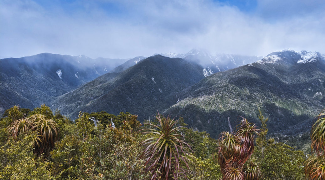
 Still a fair bit of snow around for October after last week’s storm.
 Noon and time for a snack at Lyell Saddle Hut. The day certainly turning out as forecast, no wind either.
From the saddle, a series of well-spaced switchbacks gave most of the remaining five hundred metres of ascent under a thick canopy.
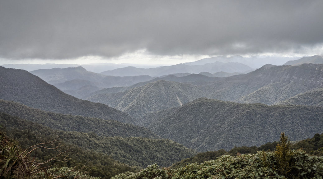
 A glance down to the valley of the south branch of the Mokihinui.
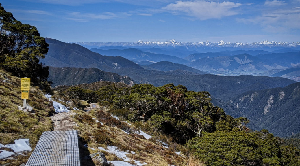
Soon I was out of the trees for the sensational section across the tops. In the shaded sections, I started to find patches of snow which necessitated small amounts of walking. But really I spent most of the time looking at the view, interspersed with some riding.


 Heaven’s Door, looking east.
All that riding of the tops couldn’t keep going, switching to the other side of the ridge it was back into the bush where there was considerably more snow; that made the descent to Ghost Lake Hut interesting.


Reaching the hut, time for more lunch in the sun. Suddenly a helicopter arrived dropping off supplies. It did rather break the serenity, but was something of a curiosity at least. Not even halfway through the trail, it was now half-one; I was still comfortable of finishing in daylight, but I did have some sleeping gear if it was needed. I’d done most of the climbing, but I knew the next section would be slow – including as it does The Staircase. One just has to try and pick the trail out of the two pictures above to see it’s not going to be straightforward.
 Ghost Lake, from the hut.
 Hut siting is top notch.
 So begun a steep, switchbacked and barely rideable (at least for me on a loaded, rigid bike) section of trail in pretty poor condition. Unsurprising considering the terrain, the trail crew was out in force trying to improve it.
 Not long before, I had ridden over the shoulder on the right.

That ridge riding turned into a rather ugly part of trail for the descent to the staircase; this part from Ghost Lake the only part of the trail I was under-biked, so that’s pretty good going considering the bigger picture of my tour. But walking didn’t matter as the views constantly took my attention. The staircase of was a welcome relief, carrying my loaded bike down a hundred-odd steps to drop sixty metres was a nice change.
 The end of the Matiri Range is one big rocky slip zone. The trail past Stern Valley Hut can just be made out in the open section on the left. It then zig-zags up to the right underneath that big slip, to my surprise; that area is rather ominously called The Boneyard.
But first, a lovely descent through dense bush to the hut. As I’d been doing all day, I stopped whenever I came across anyone to chat to – a good chance for a rest and hear what other people are up to.
 Making my way up to The Boneyard.
 Very rocky and strangely dry in here, even on this mild spring day it was a bit of a heatsink.
With lots of twist and turns through the field of rocks and keeping a wary eye on the huge boulders precariously perched above, I climbed to Solemn Saddle and was pleased to get back into the bush and out of the slide path. That was the last real climb of the day, after dropping off that saddle I was down near Goat Creek which flows into the Mokihinui. Of course, it certainly wasn’t flat for the ride out – with plenty of little climbs to keep the legs honest. But I still had plenty of daylight and there was no need to stop for the night at the three remaining huts.
Riding through the gorge as the sun sunk was a complete delight, water everywhere and much to look at.


And just like that, it’s over. What a trail and what a day I had on it with brilliant sunshine, no wind and only a little snow to push through.
Would love to ride it again; maybe I’ll get more organised and take days, stay in the huts and share the experience with others. But this way certainly was amazing.
To my relief, the pub at Seddonville awas open on a Monday night. With that strange feeling of being thrust back into civilisation after a long tiring day in the wilderness, I did my best at chatting at the bar while I waited for my dinner. Refuelled satisfyingly, it was such a still and clear night it seemed a shame to waste it. I mean, it was only a flat fifty-five kilometres home – why not make the most of it before the weather arrived? So off I went south for a few hours, surprised to be welcomed after eleven (but maybe I go to bed unusually early) with tea and second dinner. That certainly ranks up there for incredible and memorable days I’ve had on a bike. Wow.


 We’d head for those hills in the morning.
 Just more coal casually lying about.

 Out into the alpine at 900 m, Ces Clark Hut immediately appeared.
 But we got to this cute wee hut first.
 Up at the main hut, we watched as clouds rolled up the valley occasionally allowing us a view of our surroundings.
 This could have been a lot worse with a gale rushing up the slope from the sea, to the right.
 There were enough glimpses down to know that it’d be worth waiting for a clear day (or few hours might be all that one could reasonably ask for) to ride through.
 Suddenly, there is the Tasman Sea; not often I’m this high so close to the sea.
 Clouds dissipated long enough to see the large escarpment we would ride just behind the ridge line of.
 The next hut, also new, was just perceptible left of centre of this shot – we’d approach along the ridge from the right.


 Rachel escaping the lair.
 Quite the well made trail in rugged, inhospitable terrain – I was impressed.
 Out of dense forest, the view opened and we could just spy a few Pike River Mine structures. I knew it was remote, but this was a level beyond what I was expecting; the sight was fairly incongruous and gave pause to reflect.
 That hut’s getting closer, the route to be taken not much clearer.
 The descent starting in earnest around here with a big series of switchbacks.
 Seemed rude not to make the most of the various trailside seats we found. Lone Hand, on the right of that little range, fair captivated me – upturned towards the heavens as it was.

 Still a bit of low snow close to the coast after the storm earlier in the week.
 Into Seddonville, these hills enough to tell me there would still be plenty of snow on the Old Ghost Rd.
 Quite a nice evening really.

 Turning inland, I retraced my path back from the third corner trying to gauge just how much snow remained below 900 m. It was far more pleasant than the driving rain of three days before.


 A short walk for another view.
 I already miss being able to fill bottles from the multitudes of clean West Coast streams.


 One last hundred metre climb and down to the trailhead it was – leaving these views behind.