With a big bikepacking trip cancelled, a pandemic did at least leave me with masses of annual leave and substantial flight credit. Internal travel restrictions eased, it was high-time to pop down and see family in Central Otago. For mid-winter, it wasn’t as cold as one would expect in Naseby and we managed plenty of time outside.
 Flying into Dunedin, Naseby nestled over yonder in front of the Ida Range.
First up, a walk around Sutton Salt Lake – NZ’s only inland salt lake apparently. A pleasant little walk around the geographical curiosity.
 The Rock and Pillars completely devoid of snow – glad I didn’t bother to bring my skis down.
 Plenty of rocks to negotiate; smoke from a burn-off drifting lazily down the Taieri Valley.

For a change, I’d not travelled with a bike and hadn’t really planned on doing any riding. James had other ideas…
Forgoing a bike my size due to lack of front brakes, I tried to remember how to mountain-bike on a bike two sizes too large and in shoes too small. I ended up riding it on five consecutive days, much fun was had – especially when a pedal became near impossible to unclip from.
 Naseby Forest.
Adele didn’t have to expend much effort in getting me to join her on a rogaine. She was looking well forward to her first athletic event after over a year of baby-related layoff. We realised it was the first event we’ve ever done together – All Pheasant and Correct turned up, ran a little, got slightly lost, walked a lot, and found as many checkpoints as we could in the three allotted hours. Much fun traipsing over the hills just out of Alexandra – even if the singletrack had me wishing for a bike, and the briar roses and matagouri thorns tore us to shreds. Impressive to see so many families and children out running around every which way
 The Clutha flowing through Alexandra.
 Such an unusual landscape for NZ; all those trails…
Already further west in Central, it was a good opportunity to meet online friends, catch up with old friends and stay with family in Wanaka.
 We may have snuck in a Sticky Forest ride too. Superb; not much snow over here either.
The rest of the time in Naseby was spent riding, walking around, discussing house-build plans, short doses of nephew-entertaining/minding and working on depleting the gin stock. All too soon twas time to return north.
But one week later, Mum visited for a week (a trip planned pre-lockdown). Conveniently, many of us were sent to work from home for three days – so that was timed well. Such a visit deserved another long weekend; I was keen to show off Mahia Peninsula, so that way we headed for a few days of walking, gravel roads and even a little caving.
 Couldn’t believe I was up here without a bike!
The peninsula’s scenic reserve has a great technical walk through thick native bush. With plenty of stream crossings, we managed to keep our feet dry – just, and generally avoid the mud.


 We explored to the end of Kinikini Rd, if only I could find a link through to make a loop…
 Another place to add to the list of where one might find horses freely roaming the roads.

Sunday was time to take in another favourite gravel road before checking out the short walk behind Morere Hot Springs – things one doesn’t do while bikepacking. Well worth a visit if you’re going past.
 Tunanui Rd is still fantastic.
 The grove of nikau palms is startlingly large – I was quite taken aback.


Monday was for retracing part of a scouting ride from last year – I thought Mum would like the cave I’ve not heard anyone else mention, but I think is pretty neat hidden away in a paddock at the top of a sizeable hill.
 There’s a steep climb up through some limestone bluffs to begin with.
 We enjoyed scampering around Mangaone Cave for a short time.

There ended a fun little weekend away around Mahia with Mum. After what is now an unusual flurry of travel, some normalcy is returning to life as attention turns to sorting HBAT details – as that pandemic allows.


 Getting a bit higher, looking north.

 Andrew heading for the airstrip; obviously a windy place, the breeze was light.
 The climbing continued a while longer.
 Mangaorapa valley – we’d drop down and ride right to left, before following the Porangahau River through towards that glimpse of ocean.
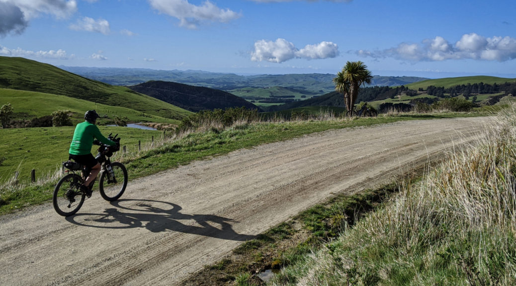
 Dropping off the ridge, the gravel stretches and stretches.

 It was probably warmer among the mob of sheep waiting to lose their fleeces. Until they lost their fleeces.


 Poverty Bay with Gisborne on the left, and Young Nicks Head in the centre.
 As the sun sunk, I was pleased to find myself riding with this guy again.
 Off the ridge line, the mud lessened markedly and riding down the track quickened.
 Close to the coast now, looking north of Gisborne.
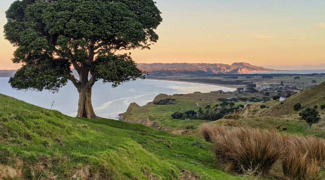
 Dropping down to Mahanga as the sun sets on Mahia Peninsula – I was pretty sure I’d make it across the isthmus just before dark.


 Those hills on the coast became more familiar the following day.
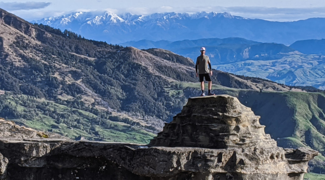
 The northern face of the Kawekas, with some rare snow.
 North over the Mohaka and stretching towards Whirinaki.
 Mahia Peninsula in the background, must get back there.
 Yup, more hills.
 Partway up the first climb, looking down on the farmhouse; Cape Kidnappers on the horizon.
 My path was level, briefly – but still surrounded by hills.
 Welcoming party to another farmhouse, now unused, and with no road access. Private beach is pretty good, but.
 Fair warning of the start of the next climb.
 I found myself atop cliffs earlier than expected.
 They may have been subsiding a little; looking toward Wairoa.
 That’s the way I was heading, after the summit.
 Those twelve kilometres only took two hours. Eight hundred metres of climbing, with a fair bit of descent (some of that also hike-a-bike), was a solid start to the day’s loop. Napier just visible in the centre, the three peaks behind Havelock North also just there.
 One of the reasons I love being up there.
 A few more, littler, hills.
 Bell Rock is up in the cloud covered hills.