Category Archives: bikes

Lake Tahoe – snow-ride including Flume Trail

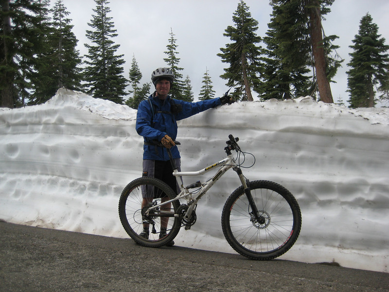
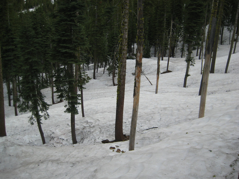
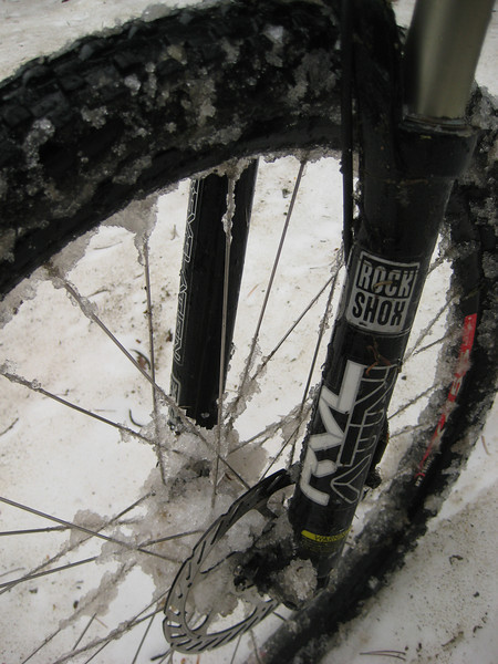
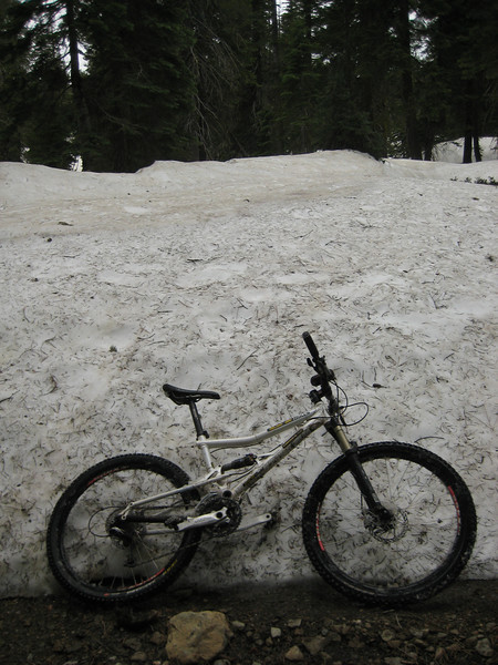
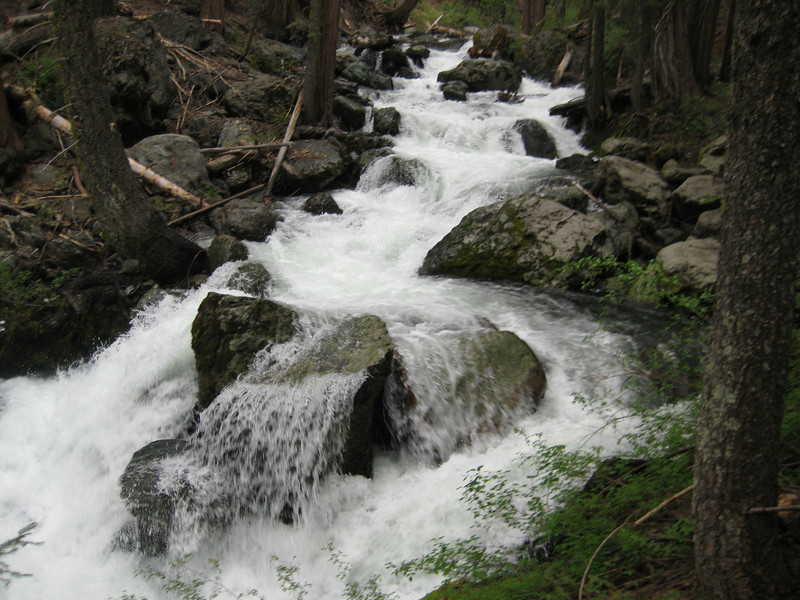
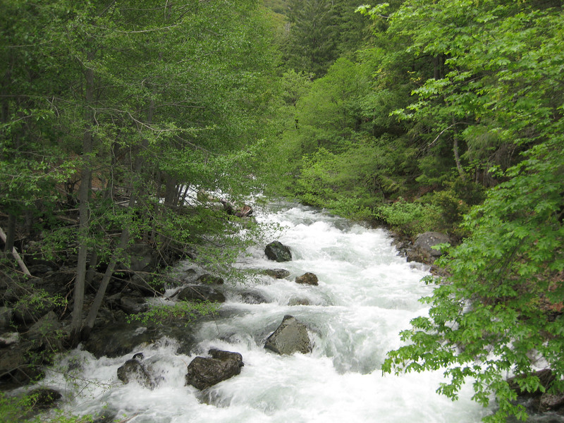
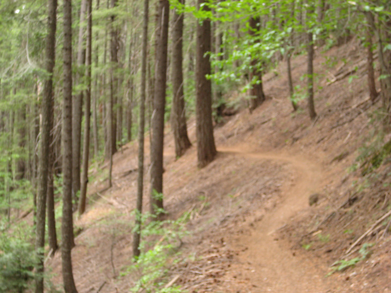
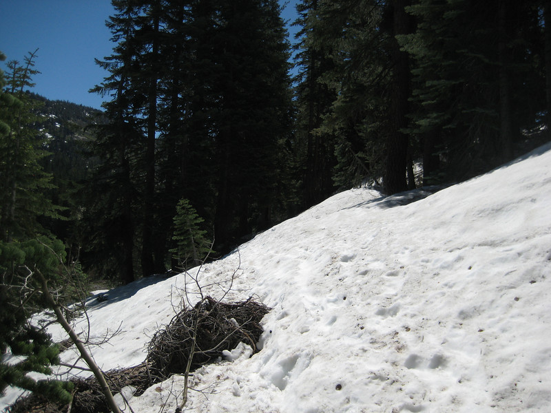
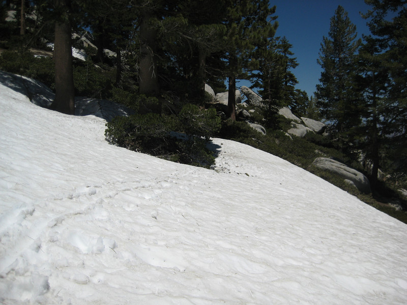
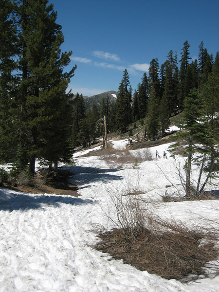
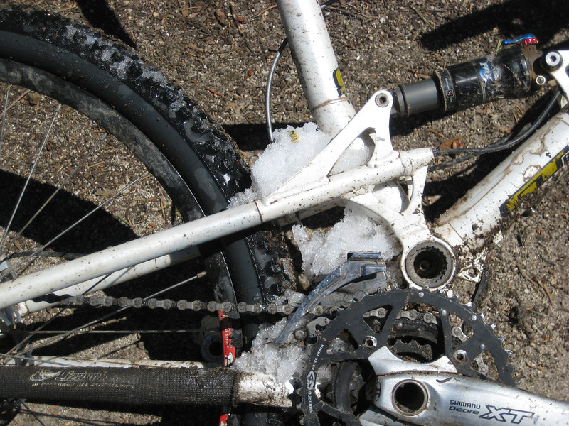
With two full days in South Tahoe City nearing the middle of summer, it was a great opportunity to check out a few of the legendary longer rides in the area. But this winter just gone being the winter that never stops giving (or taking, depending on your point of view) I ended up dealing with a bit of snow. Today I planned to ride from Mt Rose, along a bit of the Tahoe Rim Trail, the well-known Flume Trail & then down to Chimney Beach – as recommended by Mountain Bike Bill. However, when we got to the trailhead at Mt Rose it was completely snowbound so riding across Tahoe Meadows was not an option. We went back down the highway a little way to where I’d seen a rider go into the forest as we drove past. With the TRT on my GPS, I was pretty sure this random unsigned trail would link up to the TRT somewhere. But every hiker I passed (two couples) said that this wasn’t the case. But it was a gorgeous day & I had about six hours until Valerie would pick me up someway away, so I pressed on. For about five kilometres the trail traversed around at about the same elevation & I crossed quite a few patches of snow & some heavily running streams.

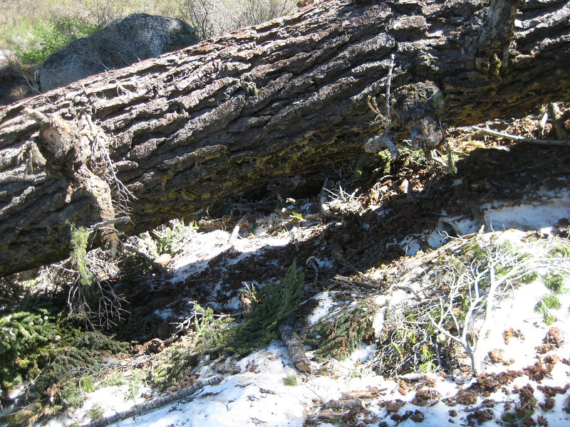
There were quite a few fallen trees to negotiate too – this one I ended up squeezing my bike & then me under (it’s bigger than it looks – easier to go under than over).

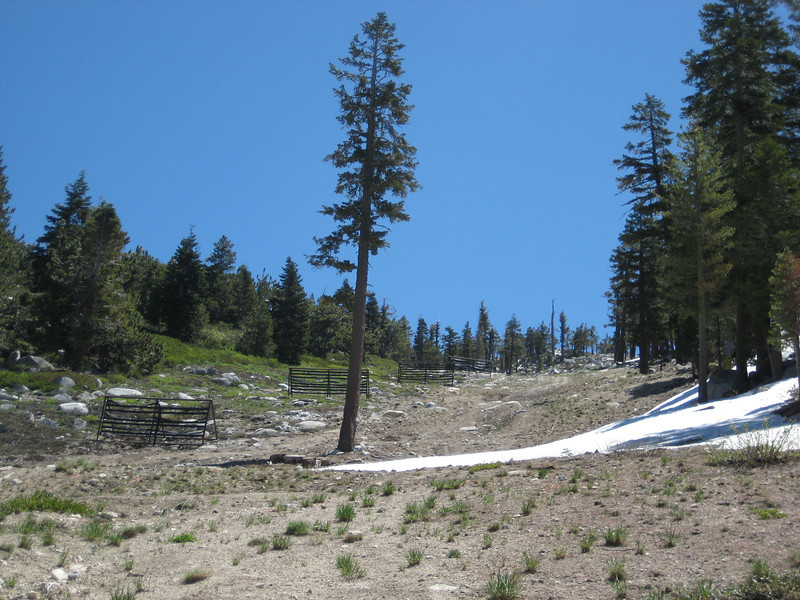
As I continued traversing I was generally 800 to 1000 metres from the trail I wanted to be on, which I assumed would be on the top of the ridge. As I was starting to look for an easy route up, I came across what looked like a big fire-break. It was steep, but clear of trees & more importantly, snow so I decided to head up it. Part-way up this exceedingly steep slope, I realised that it was a ski run (probably blue or black) & at the top would be a chairlift & I should have looked for a more manageable service road. So for about half an hour I slogged up Great Flume, gaining 250m vertical in one kilometre horizontal.

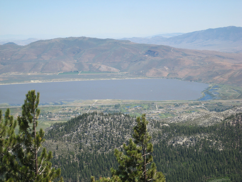
I was glad to reach the top of the chairlift & have a snack. Views off the east of the ridge were to Washoe Lake.

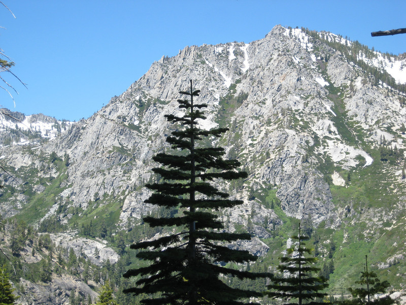
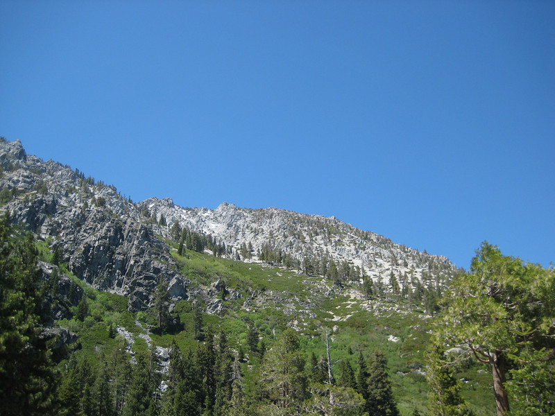
I found the TRT & was pleased to riding along it for a while. That was short lived as the hard-packed snow patches got larger & larger. But with such great mountain scenery & a pick-up at the other end, I was more than prepared to battle through extended periods of hike-a-bike – after, when would I ever be back in Tahoe doing the Flume Trail? Hardly an opportunity to pass up, even if it was exceptionally slow & tough going.

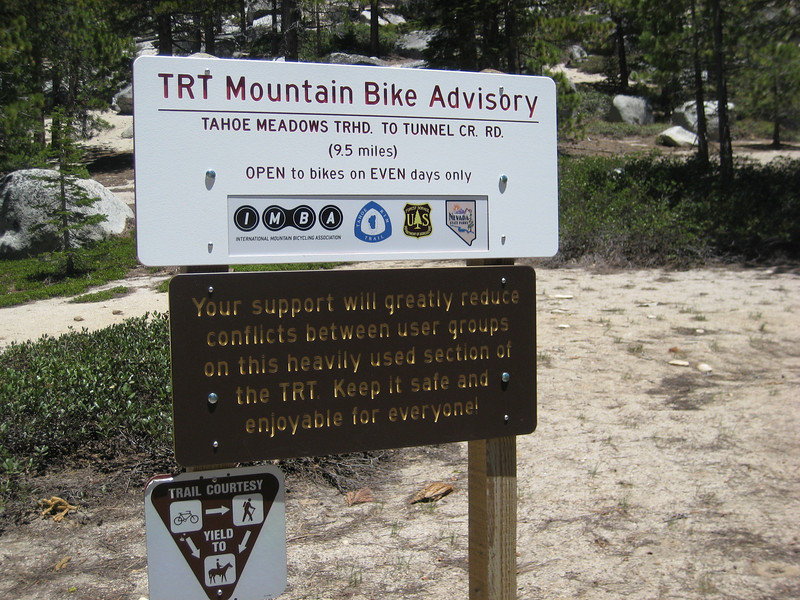
For quite long periods I was walking on steep snow slopes, eventually I found the trail intersection to the Flume Trail – a good spot for lunch. This sign was interesting – I hadn’t seen another person on the trail, I was the only one mad enough to be up there.

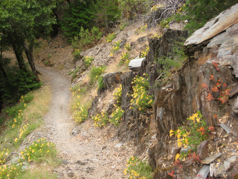
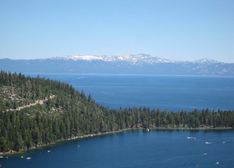
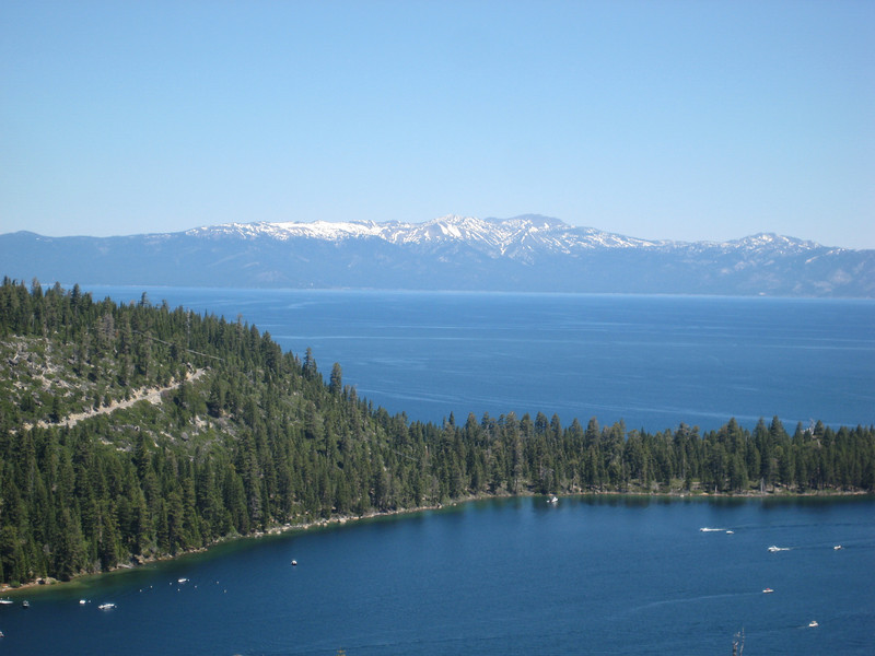
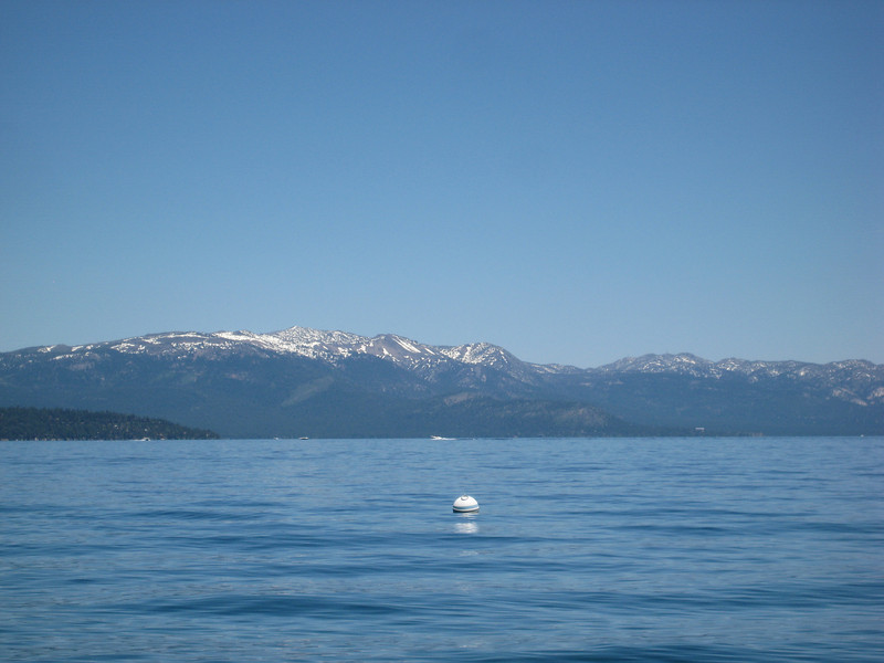
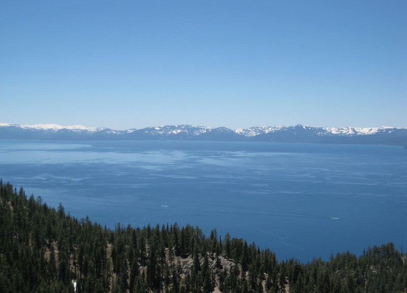
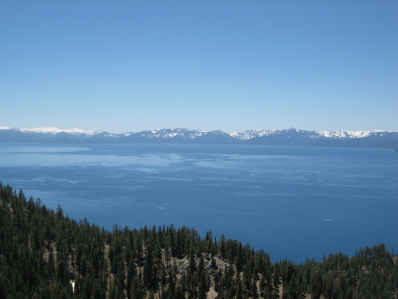
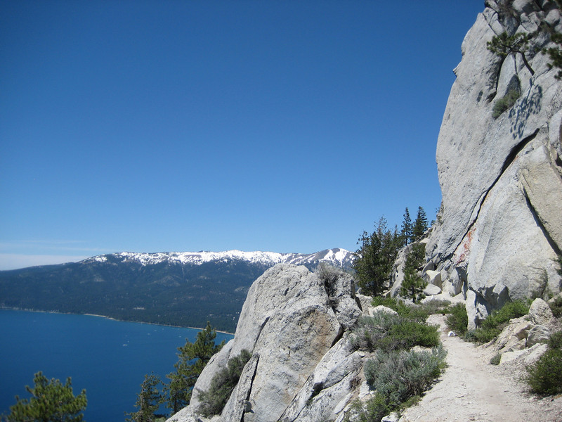
Dropping down a little to the Flume Trail, I finally saw some other riders – they had biked up a much easier way from Incline Village apparently. As I expected, given the history of logging in the area, the Flume Trail follows the path of an old log flume that used to run around the side of the ridge. As a mountain-bike trail purely it’s not particularly interesting, even in my slightly fatigued state I could cruise along it (slightly uphill in the south direction) in a high middle-ring gear (it seems two weeks at sea-level hasn’t completely killed my mountain lungs). But the scenery is something else. With that damn snow still capping the peaks on the far side of the brilliantly blue lake it was gorgeous.

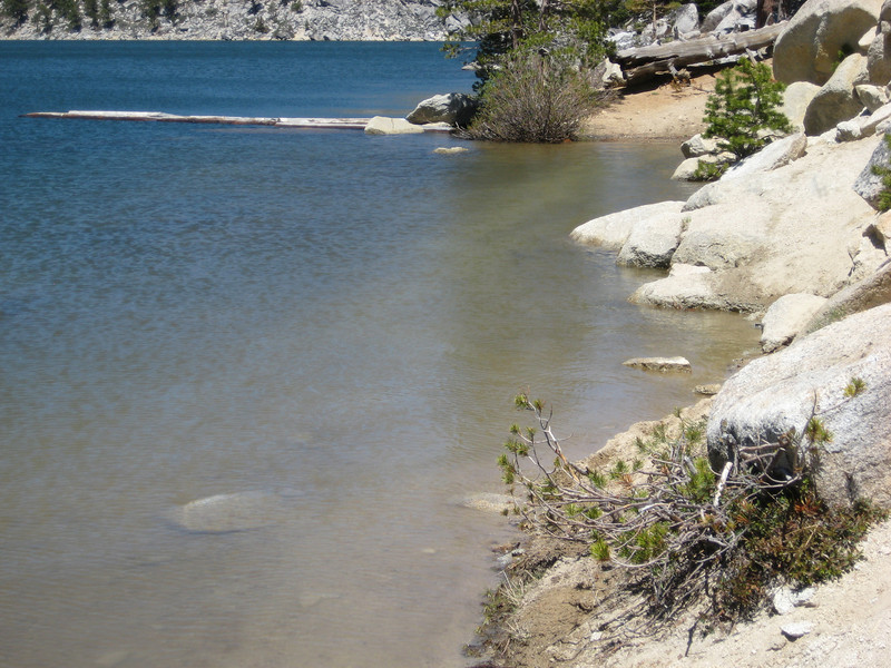
At the end of the Flume Trail, there’s a little climb up to Martlett Lake. The lake must be full of snowmelt – as this is the trail.

Just as my socks were starting to dry from the previous snow crossing, they were soaked & cold again. But it was still warm out & I had many more patches of snow to avoid around the edge of the lake. With a mostly rideable climb away from the lake & the largest snow patch of the day to cross I was ready to leave the fireroad to Spooner Lake & find the downhill trail to Chimney Beach.

Climbing up there was still more snow to negotiate. As before, the snow started to get a little thinner as I descended through 2400m & I could finally start ride & therefore enjoy the downhill singletrack. There were a few more spots of snow to negotiate in the shadier areas, but mostly I could ride around or over it. Dropping about 600m in 6km the ride was great fun & easily the best part of the day. It wasn’t overly technical, but there were plenty of big bermed corners & some water bars to get a little air off.

Definitely a ride I’ll remember for a long time, with an average moving speed of only 8 km/hr it was plenty slow – but on such a stunning day & with gorgeous scenery & a brilliant downhill to finish, it was all well worth it. Just perhaps I’ll return when it’s proper summer.

From late in the day, when there wasn’t so much snow around.
Golden Gate, China Camp & Pt Reyes

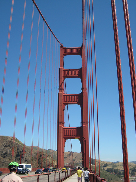
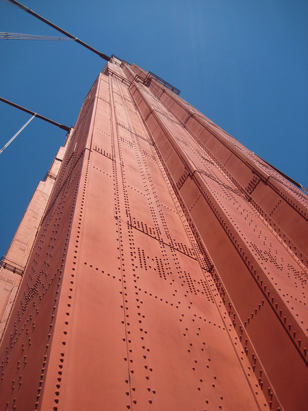
As Marin County is considered by some to be the birthplace of modern mountain-biking I was keen to hit a ride in the area. But I couldn’t find any that really grabbed me as must-do, so I opted for a loop in China Camp State Park – near San Rafael. First that meant crossing the Golden Gate Bridge & stopping for Valerie to get a closer look & walk to the middle. I didn’t mind – it really is one of the most beautiful bridges in the world & possibly my favourite after Tower Bridge in London. I love its size, simplicity & elegance. This time we didn’t get to see it with the towers peaking up through a layer of Bay Area fog as it was a gloriously sunny day, with a nice breeze as you got out onto the bridge.

The China Camp area is so called as it was home to a large settlement of Chinese shrimpers at the end of the nineteenth century. There are still some remains of the buildings they used & some brief exhibits detailing the history of the fishing in the area. With just a light occasional breeze, as I set out on my ride it was the warmest I’d been for a while. But that wasn’t too much of a problem as the first half of the loop remained generally level as it traversed the bay just above the road. A big wide smooth trail, it was the least technical I had rode in a while & it was good fun with great views out towards the sun covered bay. At the far end of the loop, the trail hooked inland & climbed gently up to the ridge. Doing so, it became more thickly wooded (the odd stand of redwoods) & nice & cool in the trees. Wildlife sightings of note for the ride were a big family of turkeys, a large coyote & a grey squirrel (who got the fright of his life as I came around the corner). Along the ridge & back down to China Camp was pleasant, although the views were never as good as they should have been with all the trees in the way.

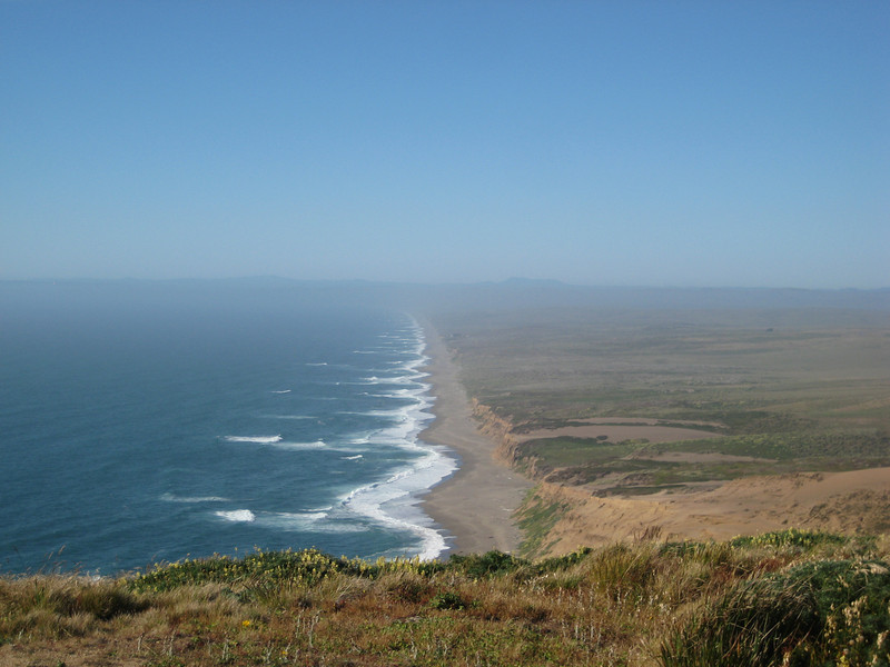
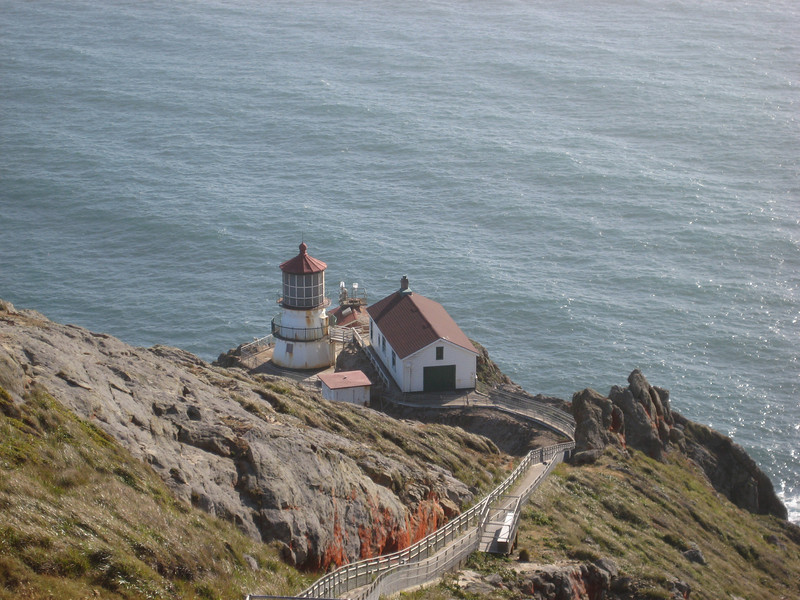
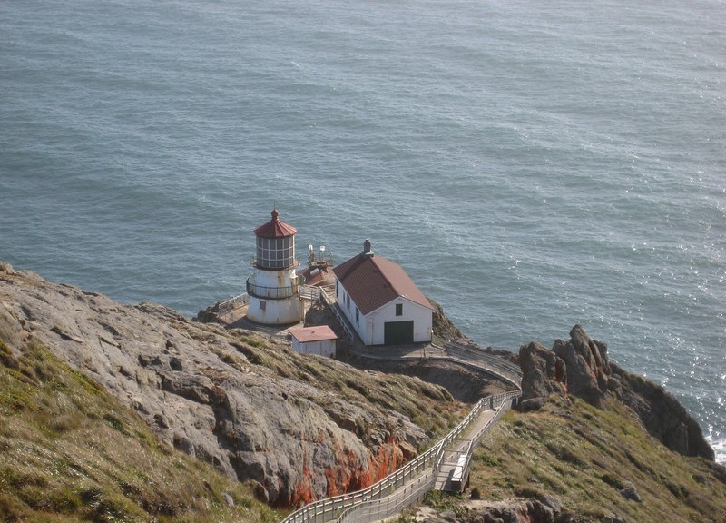
As Joel & Kristy were supposed to be driving down the coast we drove across to Olema to meet them. While we were waiting, we popped into the Pt Reyes National Seashore area to have a look. As I remember, the peninsula has been slowly moving up the coast of California on the back of the San Andreas fault. We walked around short loop learning about the fault & the 1906 San Fran earthquake & fire – at one place we saw where a fence had been split in two & the two halves were now running along parallel lines, but sixteen feet apart. It was a long & windy drive out to the Pt Reyes lighthouse (set low on the rocks to stay under the fog) past numerous old cattle ranches. At the point we had to walk a fair way in a howling gale to see the lighthouse from well above – a pretty desolate area, but we had the time to burn.

We ate in Olema waiting & then gave up waiting & headed back to San Fran – on the tortuous & slow Highway 1. As it is not far off Route 101 & there was little traffic at the late hour, it was a perfect opportunity to drive up Lombard St & then down the famous crooked part. I think just getting up to top was the biggest challenge – those are some steep streets. That in itself is not so bad as the car could (just) make it up in second gear, but at every intersection is a four-way stop. That meant a lot of very steep hill starts, & the handbrake on my car has a long grab before engaging just to make it interesting (“we’ll have a shilling on the side”). Back to the motel eventually exhausted from the driving, the ride & the worst hayfever I’ve had in who-knows-how-long.

Soquel Demo & San Fran

Quite a few people (real & internet) had been raving about the riding just north of Santa Cruz – so I decided to check out the Soquel Demonstration Forest on our way north to San Francisco yesterday. Ducking off the highway onto Summit Rd, it was a long winding drive through some quite dense forest to the trailhead. I was fortunate to have Valerie drop me at the start of the fireroad (generally, you park at the bottom & ride up the road & then a fireroad until you get to the top of the ridge – then taking one of a number of singletracks back down to more fireroad to get back up to the parking lot).

The forest was beautiful – I haven’t seen such big (girth) trees for many, many months. There were quite a few redwoods around. It was a long monotonous ride up & a very fast looking local pointed me in the direction of the singletrack down. He told me that the famous Tractor trail would be logged (& therefore closed) on Monday & recommended I did it. It was a while along the Ridge trail before hitting Tractor. It was great fun down, with some quite fast bits & some nice banked corners. I remembered having a big smile on my face for that part. Then I hit the fireroad back up to the parking lot. Maybe I’ve been spoilt with all the riding (hope I’m not becoming a singletrack snob), maybe I’m a little worn out or maybe the lack of a big American sized meal the night before did it – but this part was exceedingly boring & long. In the end, I didn’t think all the boring fireroad climbing (over 800m in just over ninety minutes) was worth it for such descents. I had planned to go around the loop twice more, but just couldn’t face it. Can you believe my apathy was so great, I didn’t even bother to take a single photo all day?!

As Valerie hadn’t been to San Fran before, we pretty much spent the day wandering around the waterfront (Ferry Building, Pier 39, Fisherman’s Wharf, Maritime National Historic Area) & then up in to the suburbs a bit. It was much as I remember it – beautiful, touristy, busy (great markets around), sunny, foggy, windy, cold. We walked up a few steep hills & managed to walk down the Crookedest Street in the World part of Lombard St & marvel at the chaos as so many tourists drove down. We stumbled across the vibrant North Beach Fair (one of the city’s largest, apparently) on our way to the very large Chinatown. One of the highlights of me just strolling around letting Valerie explore was the many vintage streetcars that are still rolling around the city streets – they are great looking machines.

Montana de Oro (again!) & Monterey Aquarium

After trading Facebook messages with Emma for a couple of weeks, coincidentally we all ended up in San Luis Obispo on the same night. I met Emma & Brent at Easter two years ago (just before I left NZ) on what I still maintain is perhaps the best riding trip I’ve ever been on. We (a group of about thirteen – all from Napier/Hastings, except me) rode the Queen Charlotte Walkway at the top of the South Island over the long weekend. With big climbs, fantastic downhills, spectacular scenery, wonderful autumn/fall weather & a great group (I only knew one guy before the trip) – it’s a ride I’ll remember for a long time. Brent & Emma have quit their jobs back home, rented out houses & are now planning on taking four to five months to do a similar loop to what Valerie & I are currently doing (except in the opposite direction, starting from San Francisco). It was with just a little jealously that I listened to how they’d set their minvan up with a bed & bikes in the back – sort of what I’d been planning on doing originally – & saw a trip with two keen bikers.

Only a week into their trip they’ve had much more excitement than we have (& they can keep it) – police drug raids in the motel room next door, (lack of) visa hassles, a tick removed under local anesthetic & then discovering a car down a bank with a very drunk woman at the wheel last night. It was great (mint) to catch up last night in SLO over a beer & share riding & road-trip stories, trade recommendations & listen to true-blue Kiwi accents (although Emma still has a little English there).

They rode the same trails yesterday afternoon that I had that morning, but I was keen to ride with them so we hit the trails again this morning. It was nice to have people to chat with on the climb & then someone to chase/chase me down the hills. We followed the same loop mostly that I did yesterday (except starting at the campsite) & once most of the way up East Boundary cut off to the right & rode Barranca back to the fireroad.

A lot foggier at the top of Hazzard Peak compared to yesterday.

Barranca had a little bit of a climb & then turned into the most technical (not too bad) downhill in the area – it was much more rocks & gravel than the packed dirt on Hazzard Peak & Manzanita. I had a good fun chasing Brent down & trying not to swallow too much of the dust he was kicking up around the corners.

A tick-infested (OK, he had one) man kindly took this at the top of Barranca

Yesterday I had spied a little bit of trail on the other side of the creek, so we dipped down, crossed the creek & rode the Reservoir Flats trail back to the campsite. It was a fantastic little ride in the morning fog, super nice to have some Kiwi riding buddies (albeit briefly) – with goodbyes & good-driving well-wishes we parted way.

We’re now on our way north up the Central Coast to the acclaimed Monterey aquarium. It was weird as we drove up the 101 seeing that big layer of marine cloud sitting off west over the ocean, while we are bathed in sunshine. It’s beautiful countryside to drive through – gorgeous hills on both sides with extensive vineyards giving way to multitudes of market gardens in the center (big rows of pickers’ cars parked along the side of the road, seemingly in the middle of nowhere).

Looking at the atlas just after leaving SLO, it looks like it’ll make much more sense to continue up the coast to Santa Cruz (good riding) & San Fran before heading east to Yosemite & up to Lake Tahoe (instead of Monterey, east to Yellowstone, west to San Fran with a day trip south to Santa Cruz, & east again to Tahoe). So that’s probably what we’ll do.

*We had a good few hours to look around the aquarium. It was pretty cool, but now that summer vacation has begun it was packed with families which made it a little difficult to see some of the animals. Is it a bad sign that the thing I will remember most is that the plural of fish over here is ‘fishes’? Actually, the jellyfish & the sea-horses (& kin) were the best things.

A leafy sea-dragon

So this is what a cuttlefish really looks like – all those years I thought it was for feeding (dead) parrots