Far too long since I’d been bikepacking on my actual bikepacking bike, the lure of finally exploring the Old Woman Range in good autumn conditions did the trick – having biked past, or around it, a number of times my curiosity had long since been piqued. So we downed garage-building tools a day early and I headed to Clyde partially packed for a night in the hills.
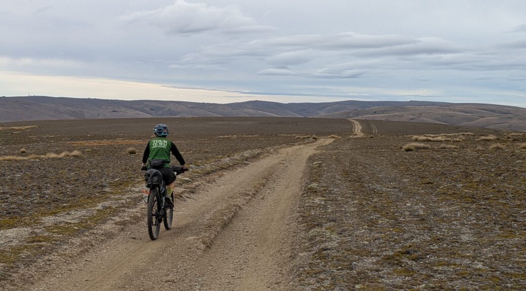
 A leisurely start across the fields, Leaning Rock in the distance.
We found the calm morning changed to a noticeable headwind as the breeze funnelled down the gorge on the Lake Dunstan Cycle Trail. Concern that the rental-bike traffic would be overwhelming was unfounded – except at the narrowest part of the trail (of course!).

A lovely morning’s riding, even if my legs aren’t used to a loaded bike anymore. Wasn’t long before future plans were switching to this bike, away from the faster, lighter gravel bike.
 (Rachel’s photo)
 Autumnal; out of the gorge and the wind all but gone.
After lunch in Bannockburn we headed for the Nevis Rd, somewhat overwhelmed by a long convoy of vehicles heading that way. What was going on out here? Turning onto the gravel we spied a solitary classic beribboned Rolls Royce, but unattended. Curious.
The Shepherds Creek valley and grovel out of it were baking with no breeze and a thirty degree afternoon. I stopped at a thread of a water race to cool off. A few more pick-ups passed us heading up, and then the motos started coming down. Identical adventure bikes, individually numbered into the 100s, they just kept rolling down – we never discovered what big organised ride they were on.
 (Rachel’s photo)
With the grade averaging close to ten percent, I was soon off and pushing at anything over that – which was familiar from the last, more-heavily loaded, trip up here. As we climbed there was still no wind, but the air temperature cooled a bit.

The reason for all the traffic became clear as we approached the summit – suddenly feeling rather underdressed amongst a hundred-odd wedding guests enjoying the views and a few drinks to celebrate. Don’t think they could have got a better day for it!
 Extraordinary.
 Finally got to see Mt Cook from up here.
With two options to get from the road down to actual Duffers Saddle, we chose the one that took us over the summit of the road to pose with the incorrect Duffers Saddle sign.

 (Rachel’s photo)
 Quite a drop from the road to the saddle and what looked to be a big push to get on the Old Woman Range.
 Some of it I could ride. (Rachel’s photo)
 Well pleased with the clear views back to the ranges around home, and that I can now name them all and some of the peaks.
Approaching five o’clock, with only sixty kilometres but over two thousands metres of climbing, I was pretty toasted. Another two-plus hours to get Boundary Hut didn’t sound fun or sensible to me – not when Old Woman Hut was so close and it was new to me.

An easy decision to turn-off and roll down to the hut. A couple of young fellas were already there, having come up on motorbikes – but they clearly didn’t like us, so left after an hour or so. We settled in to a very comfortable hut – it’s recently been relined inside with ply and the sleeping platforms are also new. A short walk up from the hut gives good views of the Nevis Valley, and Mt Cook again.

 (Rachel’s photo)
 (Rachel’s photo)
After a fairly decent sleep, it was another slow start – that worked well as the hundred-odd motorbikes from yesterday reappeared and were initially using the same route we were. Waiting them out, we only got passed by nine or ten after rejoining the route along Old Woman Range. Having done most of the climbing the day before, it was far easier going – not as steep and not nearly as much of it. We snaked up and down for a few hours glad there was little wind and the forecast weather deterioration was staying away. I was surprised by the number of tarns.
 Generally a good riding surface; there was the odd bog from 4WDs to avoid.
 Mostly we enjoyed the wide open expanses at such altitude.
 Heading for the little bump on the right horizon.
A couple of hours in we passed the turn-off to Boundary Hut – I was particularly pleased to have not pushed that far on Day One. Curiosity was not so strong to want to drop the best part of a hundred metres to see what we’d missed. We joined the Old Man Range at Hyde Rock – which was not at all notable on approach from the tops.
 Far more prominent from the valley – of which it gave expansive views.

The rain looked closer out west, so north to the Obelisk we went. Back on a route I’d done before, the track and surroundings were familiar but were completely different without the gale wind blowing riders into fences or turning loaded bikes into kites. I think about my previous visit far too often.
 At least I got a few photos this time – this the climb that needed the most effort that day.
 The transmitter was visible far back, but only got bigger annoyingly slowly.
 Made it and managed not to get clean blown over this time. (Rachel’s photo)
I was particularly looking forward to the Omeo Gully descent. The downhill, dropping 1500 m did not disappoint in any way. It was rough, rocky and loose in parts – as well as steep as I’d want to ride on a loaded bike, encroached by giant tussocks and, when waiting, it gave great views. An absolute blast – loved it. Alas, I was having too much fun to get pictures of the best parts.
 Still on the ridge, approaching the turn-off right. Track already rougher than the transmitter service road we’d just been on.
 (Rachel’s photo)


 (Rachel’s photo)
 The lower reaches mellowed out through grazed hillside.
What a great way to get back into bikepacking, finally got up there and motivation is back for more trips. Thanks to Rachel for the idea, impetus and, as always, being a great adventure buddy. Thanks to Mark, Paula and Eilish for the accommodation, untold cups of tea and terrific post-ride cookies that went a long way to replacing any lost calories.
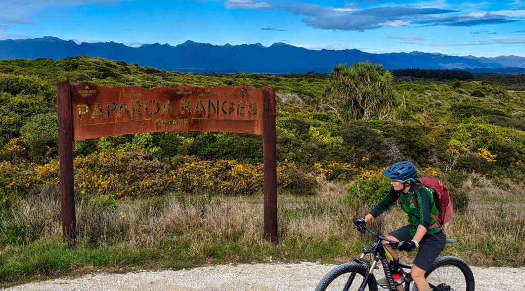
 Out in the farmland, we enjoyed looking back to the Paparoa Ranges and trying to name peaks. Famous scientists seems to be a theme with Mounts Kelvin, Rutherford, Euclid, Faraday, Curie, Mendel, Priestley up there somewhere.
 Steepest climb of the day towards Cape Foulwind beginning. We managed.
 Near the top there’s this handy labelled silhouette of the peaks (that’s the oxidised steel, not Rachel).
 Signs of the old cement works popping up around here; part of the trail to Carters Beach is on an old haul road.
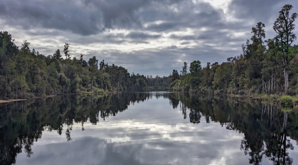
 Farm land for a bit, looking back towards Lake Brunner, Mt Te Kinga (left).
 Wasn’t difficult to spot big trout in there too.
 Te Kinga again.
 Difficult to believe that’s a river.

 After seven kilometres, the trail just stops – currently.
 But it’s easy to see why.
 Not without stopping at Irishmans Landing, snacking and pointing at things.
 Te Kinga again, really should get up there one day.
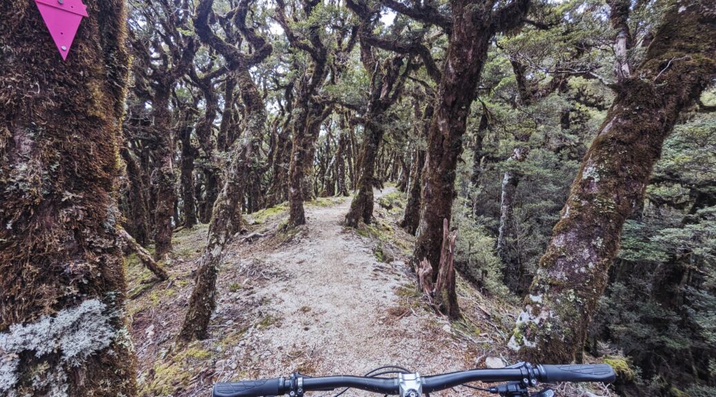
 A few bridges early on; the entries and exits the only non-rideable parts of the trail.
 Frosty at the old hotel site, around 400 m elevation.
 Ces Clark hut view down the lower Grey River valley.


 More, possibly even better, goblin forest at the top of the Pike29.
 All were waiting for me at the final lookout at the top of the descent.