At lower elevation, sleeping in the proffered gazebo was far warmer than the previous night. Rampant mosquitoes were a drawback; eventually I succumbed and crawled inside my bivy bag. Neither of us got much sleep that night, with Pete being a little ill to add to the sleep-robbery of whining bugs. Astoundingly, two different people in our generous hosting party added a little extra to their respective pans – combining to satisfy even our hunger:

A more leisurely departure, we left around half-seven facing a similar distance day to that which took us to Whirinaki – a little less climbing, no singletrack and more sealed roads should see us finish earlier. First up, fifty-five kilometres of deserted forestry roads. The climbing began straight away to warm us up. Having driven through this easement through privately owned forest, I remembered more plantation – but was pleasantly surprised at how much native forest there was to cycle through.

The rain looked like it was just over the provincial border, so it was some time before we found it. As we climbed through five hundred metres of elevation, Pete was feeling the effects of a restless night – I had plenty of stops before it was suggested I ride on ahead.
Getting on towards noon, with a much better appreciation of the lay of the land I’ve now driven through four times, I was taken aback to see a pick-up just before exiting the forest. The first of the paper roads that I hoped would cut out kilometres of highway was a big jumble of locked gates, signs promising video surveillance, tracks that didn’t follow the legal corridor and six groups of beehives protecting the route that looked most likely. Not overly comfortable with that, I climbed up the old highway to join the traffic on the current one. We were later told that the current owners of the land are rather protective of their crop, of questionable legality, so I’m glad I didn’t find that out for myself.
Mixing it with the roaring traffic down a long hill in stinging rain was over soon enough, and I was through the Waipunga River gorge and stopping at the only store of the day – Tarawera Cafe is a busy little spot, with a fantastic display of local history and plenty of food. I enjoyed refuelling as I watched the constant rotation of squally showers blowing through and the sun reemerging; Pete arrived as I was finishing up, so I lingered a while longer. It promptly poured down, jacket on and a bit more highway until the next paper road. This one went through – I climbed a steady ten percent for half an hour, the jacket not lasting long as the afternoon warmed and the views opened out. Once more, my appreciation of the connectedness of many hills and valleys I’ve only previously glimpsed improved.

 Northern Kawekas obscured – but the plateau in the centre is where Steve & I ended up on the Sunday morning of the last hot springs trip.
A little gentle ridge riding led to a big fast downhill, mostly on highway, to cross the Mohaka again before a short grovel up off the main road onto Waitara Rd. Past Glenfalls campground the seal ends and once again there was no traffic to speak of; but the rollers, oh the rollers. Every climb seemed to be followed immediately by an almost-equally large descent. A couple of sprinkles of rain came in on the now helpful wind.
 I still haven’t done the Bell Rock hike, but I knew we had to climb to about the height of that ridge before the last long descent.
With just thirty kilometres to go, I promised myself a stop at five hundred metres elevation to eat most of my remaining food and enjoy the scenery before putting on some music and enjoying the remainder of the climb. The steepness soon abated and it really was most pleasant to ride up a road I’d only ever ridden down before.
 At the junction with Pohokura Rd a little sun broke through to throw dappled light on yet another section of road to explore.
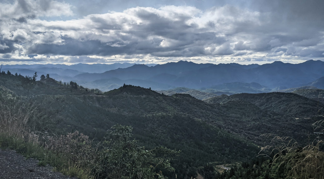
 Most of the way up, one could look northwest over to hills we’d recently been riding through and around.
 Clagged in again, but there was no rain on the long descent.
In fact, there was some evening light as favourite views of Darkys Spur and surrounds came back.
 Looking west from Matahorua Rd, almost there…
Ten kilometres of seal, some more rollers – kinder this time – and one last little climb later, I was rolling back to the car. It may have taken five months from conception to get to ride my little HBOP loop – but well worth the wait. What a fine and full weekend – fifty hours, 380 km and about 8500 m of climbing. But numbers alone hardly tell the story of all the deserted backroads, greenery and hills everywhere, great people and pleasant mid-summer riding weather (i.e. I didn’t cook). Bike in the car, I popped in to meet Graham and Sue – plied with cups of tea and slices of cake, conversation of bike adventures past and future, history of the local area and potentially arranging access to private land flowed. I could have stayed far longer; but Pete was still out there and there was the small matter of driving home, eating a lot and getting to work in the morning – so off I went suitably exhausted, but fizzing for the ride completed and more rides to come.


 Across Lake Whakamarino to the Tuai power station.
 Over twenty percent, it wasn’t the easy option – but it was quiet.
 It flattened out ever so slightly.
 Across Whanganui Inlet
 Leaving the lake and heading north.
 I wouldn’t have been too surprised if that sign proved correct.
 Is that the fish or the frybread?
 Ever so slightly more rugged gravel road riding.
  Not quite looking up in time…
 At the top of the first climb, back in Hawke’s Bay and admiring the ferns.
 Where it promptly began to rain again.
 Up and over another couple of ridges, it was nice to be out in the late afternoon sun at Roger’s Hut.
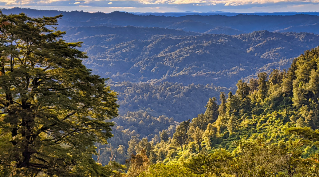
 Pete emerging from the mature native forest.


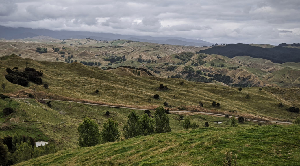
 Seems there are quite a few farms up here; we were on to Waireka Rd, leaving three others to return to and explore completely in the future.
 I stopped and snapped a photo of Lake Rotonuiaha for, quite randomly, a fishing app that I was contacted out of the blue about.
 A pause over the Waiau. Now I was on new roads, huzzah!
 Looking south over the Waiau, that prow in the background demands closer investigation; March: hopefully I can get back up here.
 Huddled together in a corner for fear of falling.
 Saturday morning view.
 A palace to us.
 Just seeing that ribbon of road winding up brings back memories of
  Soon one is looking over the valley to Rough Ridge.
 Ah yes, old schist fence posts standing sentinel over the languid Upper Taieri.
 Logan Burn Reservoir, and more power generation.
 Over the Dunstans to the Southern Alps; I didn’t or couldn’t contemplate that the next day visibility would be negligible due to smoke from across the Tasman.
 Summit lunch break; I wonder now that I had bothered to strap a jacket to my bike, likely I’d just left it on. No chance of needing it that day.
 Are those the Rocks or the Pillars?
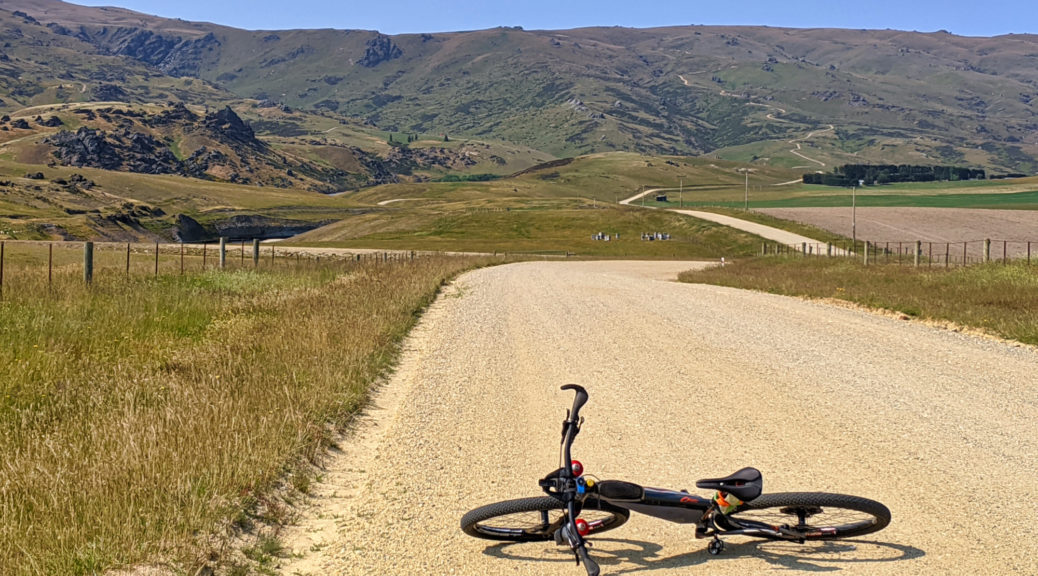
 Not a fast surface, but rather easy going.
 East across the hills which I’d ridden four days prior.
 South east over Middlemarch.
 Obviously not the track I was on, but similar in topography.
 Getting down towards the Taieri now, after it had looped around the northern end of the range.
 The road corridor was wide, but the sheep hadn’t been in for quite some time.