The painting, mowing, tidying and general prep for, and then the, first open home done; I had to get away for a night. With a favourable forecast, what better opportunity to pop into the Silver Peaks Park for the first time. Only half an hour’s drive from both current-home and Dunedin this is a great area for small hiking or running trips. Mid-afternoon before I could depart, I thought I’d easily make it into Jubilee Hut before dark – online booking indicated I’d probably have it all to myself.
Leaving the car, the track slowly ascending to Green Hill was easy walking sheltered from the cool sea breeze by manuka. Apparently it would take me four hours for the nine kilometres to the hut, I was not convinced that would be so carrying only a light overnight pack.
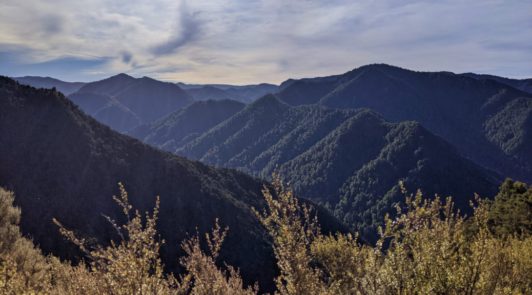
 Occasional glimpses of surrounding forest – both native and exotic.
 Light clouds continued to blow through, keeping the afternoon temperatures quite bearable.

Just as I was thinking that the track looked quite rideable, it did get steeper – and stepped in places. I enjoyed picking out the trail ahead as it climbed to Silver Peak, and identifying various landmarks in the distance that I had a fair idea of what they might be.


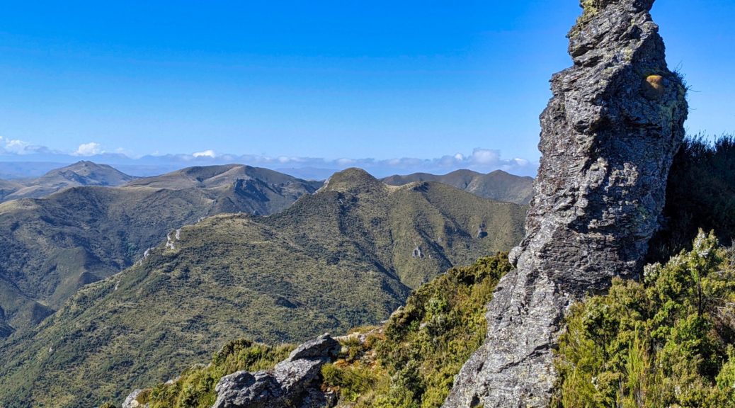
 Unsure what it was I was expecting but it wasn’t so many outcrops.
At the summit in little over an hour, I enjoyed having plenty of time and daylight to appreciate the views. It was odd to be easily able to see Mosgiel, a suburb of Dunedin, but the rest of the views were more expected.
 North over the Bendoran Station – there’s good gravel riding in the hills just beyond that; Rock and Pillar Range coming in from the left background.
I could just spot the private Christmas Creek Hut, but of more relevance to my walk was the track to the Devil’s Staircase which would drop me four hundred metres in less than a couple of kilometres – that might slow progress a bit.
 Looking back along the trail towards Pulpit Rock.
 Starting down the staircase; Jubilee Hut just visible in a clearing in the trees above the true left of creek.

The descent wasn’t nearly as tough as I was told – but due mostly to it being completely dry, I suspect.
 Down a the valley floor for the last section alongside and crossing the creek.
A beautiful stretch of beech forest delighted for the ten minutes I was down by the creek, before the climb up to the hut.
 Looking back to the ridge and Devil’s Staircase – not too bad at all.
Well, that only took two hours of walking to find I did indeed have the hut to myself. Far more daylight and time to enjoy the peaceful surroundings than I imagined.
 The large flax bushes would later provide good viewing of various small birds feeding on the flowers at twilight.
 With the water tank empty at the hut, popping down the hill to the creek and carefully balancing not-for-purpose containers on the return was not a hardship when it is as tranquil as this.
Slow to rise after one of the longest and deepest sleeps I’ve ever had in a hut, there was no rush to close the loop. Eventually I was down to and over the creek, climbing up the other side past the previous hut site. Morning dew wetting my legs made me conscious that this section of track was far more overgrown than that which I’d seen so far. Over halfway up the steep climb, the track widened to old double track and became a little faster.
 Those tracks look rideable…
Sidling off the ridge to meet a small creek, trail finding was a bit more difficult as the gorse closed in. A brief diversion took me up to ABC Cave. Turned out I could have easily made it here the night before, which would have been fun – but I had a very nice night as it was, so no regrets there.
 Could probably get four on that sleeping platform.
Leaving the creek as it was only just forming here, and two more nice looking patches of beech, I regained the ridge – now on the Yellow Ridge Route.
 Recognising the peaks close to current-home.
 Down to Waikouaiti, on that small bay.
I detoured again to check out The Gap and the view from the trig. The double track here quite overgrown by gorse, and even some spainard, legs were mightily scratched as I barely negotiated what was left of the trail.
 Back along the track to The Gap.
Thankfully the views were worth a nice break to soak them in on a mild, clear and still morning.
 Down to Blueskin Bay area.
I had hoped to go back along Rocky Ridge to Pulpit Rock – this route reported to have the best views in the park – but the track was overgrown enough that I couldn’t find it, and my legs were itchy enough. So back along the Yellow Ridge it was.
 Ah yes, the naming of The Gap becomes even more obvious down here.
Dropping a little and then along the ridge I was soon at the small Philip J. Cox Memorial Hut – might be worth a stay sometime. The route traditionally drops down and crosses the Waikouaiti South before climbing up to a forestry road – for a six kilometre gravel road walk back to the parking lot. Ugh. Thankfully, an alternative has recently been opened.
 Start of the River Track.
 Soon in quite different surroundings, I enjoyed the drop to river (further upstream than the old route).

 Marking of the track is still in its infancy, there was only one part where I really had to stop and work out just where the track went.
Not having to cross the river, it was nice to cross each tributary – plenty of opportunities to drink and wet my cap as the early afternoon warmed.
 At the bottom of the valley, the trail was much more benched and easier to follow than coming down off the ridge.
I came across two volunteers, the only people I saw out there that day, cutting in more switchbacks to bypass a steeper section. I appreciated chatting for a while and hear of all the work they’d been helping with in here expanding the trail network. So close to Dunedin, I could see from this brief excursion what a great park it is in such proximity to the city.
 Having passed them, I was on trail that had had a lot more recent attention. Some of the trail building solutions and resourcefulness were equally impressive and ingeneous.
 My last little side-trip – up to Possum Hut. Unlikely to ever sleep here.
 Interesting walls though.
One last hundred metres climb up the new Gold Miners Direct track and I was back at my very dusty car. What an excellent morning to complete a fun little overnight. With all my little diversions, it was four hours of walking for eighteen kilometres – somehow well over a thousand metres of climbing in there, didn’t feel like it. The whole loop would be a good day walk or run (provided good weather is picked, I can see it’d be nasty up here in adverse conditions) – but I wanted a nice little overnighter and that’s what I got. Brilliant wee outing and I’m looking forward to further exploring when I’m in the area with time to spare.


 Fair flow after recent rain.


 The steepest part, thankfully not too wet, or dry, to reduce traction.
 The Mohaka (Te Puia is just to the right of that little bit of whitewater) and the ranges north beyond.


 Crossing the bridge over the Makino this time; the hut is up on that ridge somewhere clad in trees.
 Surprise, the hot springs have been flashed up.
 Pleased to see the bush start to turn white as the manuka blossoms, reminding me of the bright hillsides of
 Home for the weekend.
 Wheki-ponga may have been the word of the weekend.


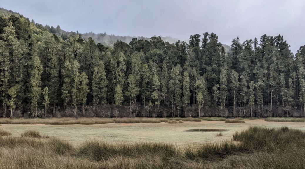
 Kahikatea line the lagoon on a misty Sunday morning.

 Some marshmallows may have been harmed in the making of s’mores.
 Those hills on the coast became more familiar the following day.
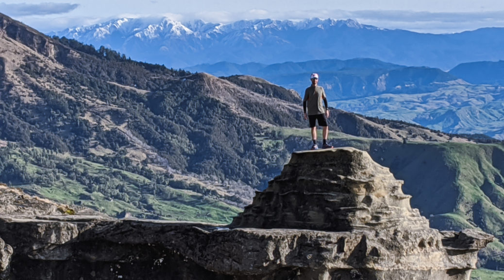
 The northern face of the Kawekas, with some rare snow.
 North over the Mohaka and stretching towards Whirinaki.
 Mahia Peninsula in the background, must get back there.
 Yup, more hills.
 Partway up the first climb, looking down on the farmhouse; Cape Kidnappers on the horizon.
 My path was level, briefly – but still surrounded by hills.
 Welcoming party to another farmhouse, now unused, and with no road access. Private beach is pretty good, but.
 Fair warning of the start of the next climb.
 I found myself atop cliffs earlier than expected.
 They may have been subsiding a little; looking toward Wairoa.
 That’s the way I was heading, after the summit.
 Those twelve kilometres only took two hours. Eight hundred metres of climbing, with a fair bit of descent (some of that also hike-a-bike), was a solid start to the day’s loop. Napier just visible in the centre, the three peaks behind Havelock North also just there.
 One of the reasons I love being up there.
 A few more, littler, hills.
 Bell Rock is up in the cloud covered hills.