Before heading south to ride the Great Southern Brevet, Steve and I had set aside the following weekend to go hiking in the Whirinaki Forest. Still fatigued all week from the brevet, it didn’t seem like a good idea. But as it happened, a weekend walking with a light pack through beautiful native forest was just the tonic.
 Perusing maps and brochures, I came up with this vague plan; it happened to be what Steve had in mind too.
I had Friday off work for my shoulder MRI in Hastings (the dye injection was horrible, the MRI went well – completely different in details to the one I had in the UK seven years ago), so was left in charge of food. Planning only a two night summer trip, there was plenty of room for fresh items – I made sure we would not starve.
The ache in my shoulder lessened enough to drive out and meet Steve at work; an hour of Napier-Taupo Road before turning north for forty minutes of gravel brought us to the trailhead right on the Hawke’s Bay – Bay of Plenty boundary, having climbed to the watershed at about 900 m. The walk into Central Whirinaki Hut that evening was a glorious and easy ten kilometres. From the start, we lost altitude over half the distance on a wide well-maintained trail to reach the Whirinaki River, which we followed to the hut.
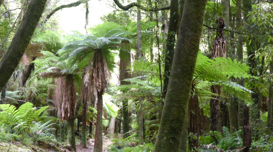
It was a balmy evening for walking, and we were soon impressed by the number and variety of both large native trees and ferns. I don’t know that I’ve seen so many different ferns in such number in one place that I saw over the next two days and fifty kilometres. My left thigh gave me a bit of gip that evening going downhill, most unusual – thankfully I’d put in my ski/hiking poles and they helped no end, that niggle didn’t bother me the following days.

Friday evening and we didn’t see another soul that night – so we had the entire large hut to ourselves, a bunk room each. Luxury. It also meant we didn’t have to worry about disturbing anyone’s slumber as we turned up, cooked and ate a small pile of nachos well after dark.
 I got outside in the morning for a hut photo before the rain came in.
A stone’s throw away from the hut was the river and wonderfully there were two pairs of whio (blue ducks) slowly making their way upstream finding breakfast as they went.
 Endangered, these ducks are also rare among water birds in that they live year-round on fast flowing rivers.
Thanks to Steve for the video.
The rain persisted as we set off, but it was inconsequential under the vast canopy. The trail tended down as we loosely followed the river. It seemed that a lot of the cuttings made to smooth the gradient weren’t really necessary – the walking was easy. There was even a tunnel!
 Outrageous.
 Did I mention there were ferns?


A short diversion had us standing on a bridge above the thundering Whirinaki Falls, alas there was no lookout spot. We left the Whirinaki River to turn to walk up a tributary – Mangamate Stream. With that we left the crowds behind; that morning we’d seen two men (and a dog) heading up to do some pest control and a group of five walking up to Central Hut, we were to see no one else for another twenty-four hours. Knowing we were about to get our feet wet, it seemed a good time break for lunch.
 Quite a spread it was too; hooray for short hiking trips when much fresh food can be carried.
The trail notes told us we’d be following the stream most of the way up to the hut and to expect more than sixty crossings.
 Finding the orange marker, I contemplated all the crossings to come before wading in. It was luxuriously warm, and like most of the crossings to come – around my knee-height.
I took to counting stream crossings, but that became difficult when much of the time the trail was simply walking up the watercourse. I was well pleased that we were doing this in the height of summer and it was a clear, warm day. For about six kilometres we did our best to follow the elusive orange markers upstream. Along the way the trail often disappeared and we were left immersed in toe-toe (cutty grass, pronounced “toy-toy”), failing to avoid nettles and, most of all, brushing increasingly-sensitive leg hairs across hook grass.

 Oh, there’s the marker. I guess we’re walking up the stream again. A welcome respite from the hook grass.
 We escaped from the sea of toe-toe!
Finding the site of the previous hut, we left the now-much-smaller stream and climbed to the hut. A couple of hundred metres to climb was a nice change from picking our way through water, rocks and grass and a suitable way to work up an appetite before suddenly emerging from the bush at a saddle to find the hut. For the record, I stopped counting at eighty stream crossings when the stream became small enough to barely get my boots wet.
 Once again, our digs for the night were otherwise deserted. (Mangamate Hut)
 Looking north as the day ends, in much more friendly grass.
 Not a bad spot to devour more of the food we’d hauled in, all in the name of lightening the load for the following day of course.
Reading in fading light back-issues of the Auckland University Tramping Club magazine left in the hut showed a few things. Firstly, this area had been well visited by the club. Secondly, hunting orange markers, masses of hook grass and having wet feet were all part of getting here. Thirdly, I really should have done/do more hiking – while it’s not biking, it can be surprisingly good fun (I can imagine the eye-rolls that comment is getting from certain people).
With an earlier night’s sleep, we got away a bit earlier the next morning to walk down from the other side of the saddle. The morning would mostly be spent following a stream down a valley, before picking up another to walk up the next valley. At times the trail was wide and well-defined, but mostly it was not and occasionally downright difficult to find. Two more hours of hook grass exclamations and I decided it wasn’t too hot to wear trousers and save my hair – why did I not do that earlier? I could just walk straight through everything non-plussed and use far less energy not carefully maneuvering legs to avoid the dreaded hooks.


 Steve carrying a relatively low inventory.

 Upper Whirinaki Hut – only subtlety different to the previous night’s hut.
Stopping to lunch at the hut, we met the group of five that we’d seen the previous morning. We were lucky to escape with our lives, as our ample lunch consisting of such delicacies as fresh produce and cheese had our new acquaintances turning green. We didn’t hang around to see if we’d be skinned alive for daring to pull such items out of our packs.
Another kilometre of river walking, we crossed the Whirinaki River one last time and contemplated the climb back to the car. It was steep, but the most challenging and enjoyable hiking of the weekend. Climbing over three hundred metres in less than a mile probably should have been harder and less fun than it was. Thankfully we’d eaten most of the food by then and our packs were light, also the trail, while steep, was easy enough to follow.
 The birdlife changed too, wood pigeon (kereru) up here.
 Disappearing in seas of ferns is preferable to cutty grass.
 Up on the ridge, we began to get a better impression of the vastness and density of the bush we’d walked through. As well as finding it was a pretty warm day.
 One final pose, near another big tree – there were plenty of those.
Slight undulations took us back to the main track just short of the car with plenty of time to get home before dark. A fantastic weekend of walking in sublime native New Zealand forest; great food, company, birdlife and weather really helped more. I may have to do a bit more hiking – if only to recover after a week of intense bikepacking! Now to get back there again and do a longer loop, or take the bike.


 The clear skies were also pleasing to see.
 I was taken with the difference and large crown of the cabbage trees – most unusual compared to the ones I usually see.
 After a short section of quite narrow snow between rocks and a drop (great introduction), our route opened into a nice wide gully.
 Steep enough for this novice.
 Approaching the crater, the ice formations became larger, more unusual and at times surreal.
 In the crater, the surface turned from snow to lumpy, knobby ice.
 It looked rather windswept. While we were still bathed in sun, a layer of cloud encircled the lower reaches of the mountain.
 Out of the crater, one last pitch up to the summit. Here the ice was in much larger lumps, some of them shattered when bearing weight, others didn’t – they all looked potential ankle breakers though.
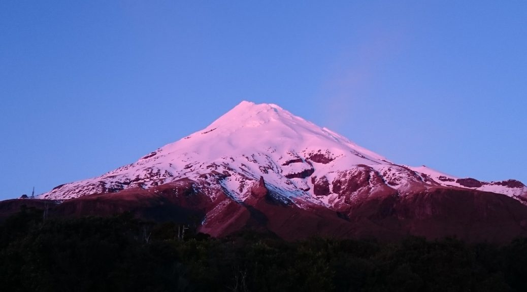
 Five hours after setting off, we had ascended 1500 metres and enjoyed a bit of time on the rather flat and, in this case, calm summit.
 The weather closed in again, and after two hours of slow descent (oh for skis) I think I was starting to get a bit fatigued. So repetitive…
 Back on the access track – golly it got steep, no wonder it was paved in part.
 Things cleared a enough to admire a bit more of the scenery.
 The sun made a brief appearance in the sky – some of its light even filtered through the canopy.
 The route flattened out a bit as we walked beside and through/over the river for a while.
 While we were still well below the tree line, we started to come across patches of snow – a somewhat worrying sign for walking over the tops.
 There’s a pole! Go over there. About half-way up Adele took the lead through the steeper terrain, I had it easy at the back for a while.
 Reaching the saddle (we’d climbed about 900 metres in four kilometres – a bit more than I’m used to), we turned to see cloud filling the valley we’d walked up.


 A very dirty glacier way off in the distance.
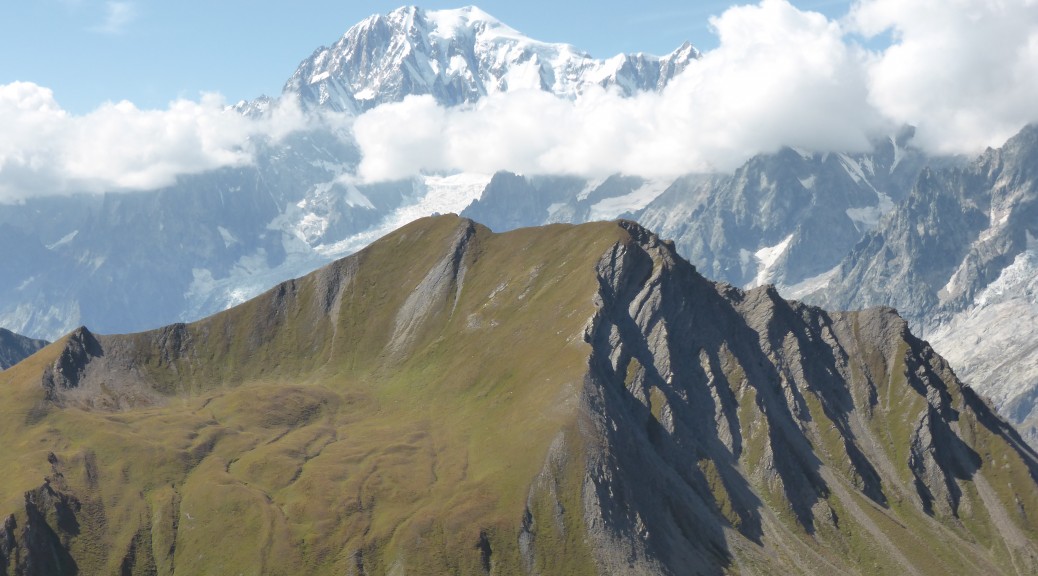
 Down the valley from which we started – Monte Bianco hiding briefly behind clouds.


 Traversing near the top of the valley.
 Monte Bianco on the left.
 There’s the trail heading up to the pass – which is the narrow gap on the right. There wasn’t a lot of room to have lunch.


 I really wanted a bike as we got back into this valley – the trail was sublime.

