Category Archives: hiking

Gusty Ha Ling & shuttles at Moose Mountain

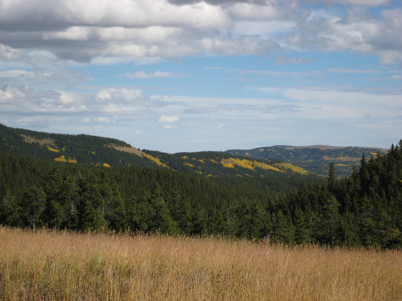
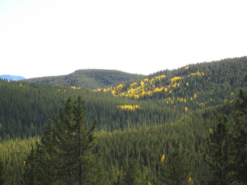
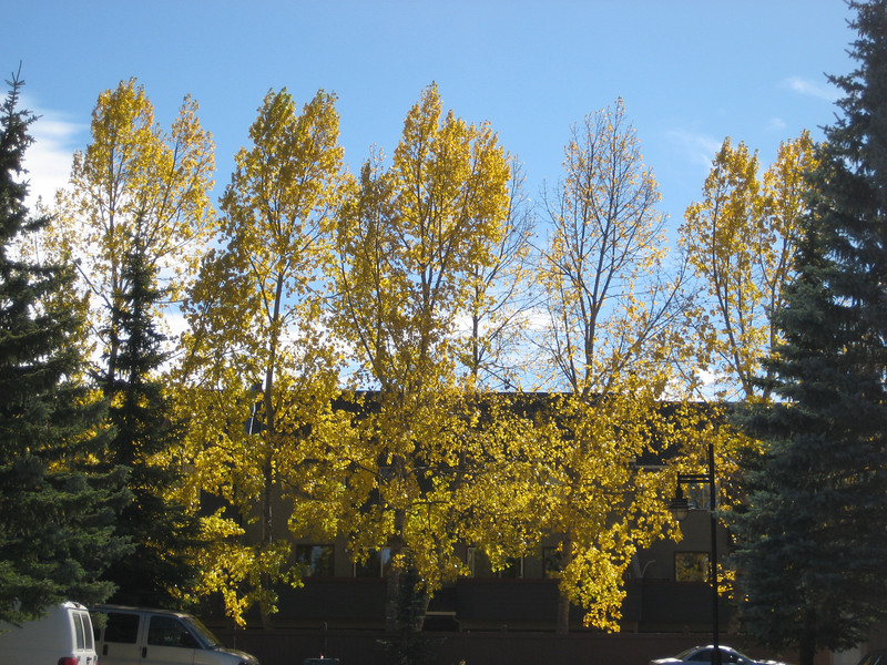
More great weather on Saturday with clear skies; however a Chinook came to town & it was super windy.  Here are some of many yellow leaves around town – this taken from our driveway.
Straight after lunch it was time for Finnian’s first ex utero hike up Ha Ling.  The road up to the Goat Creek parking lot seemed markedly better than the previous week & we were hiking by five to one.  All the snow that I hiked through last week was all gone & there were heaps of people & dogs on the trail.  As we got above the tree line the wind started to get up a bit.
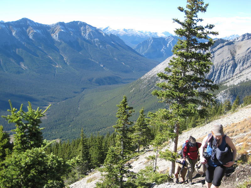
Megan, Finn hiding, Gill & Alex – looking down Goat Creek (Banff is around the corner to the right)

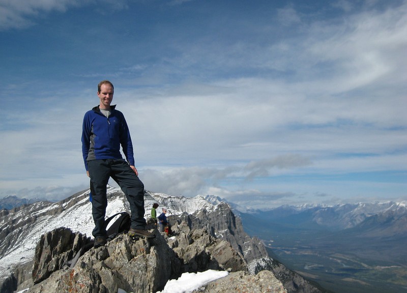
We started the last zag of all the zig-zags up to the summit as we layered up a bit.  The wind kept getting stronger & stronger.  About a hundred metres from the top there were some really big gusts that came close to blowing some of us over.  The biggest of all the gusts ripped my sunnies off my face & I last saw them disappearing towards the edge of the cliff.  None of us valued getting to the top over not-being blown a few hundred metres down to Canmore, so we decided to turn around.
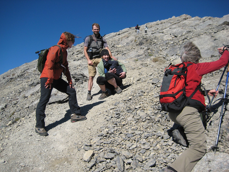
Playing Crouching Tiger, Hidden Finn – isn’t the summit close?
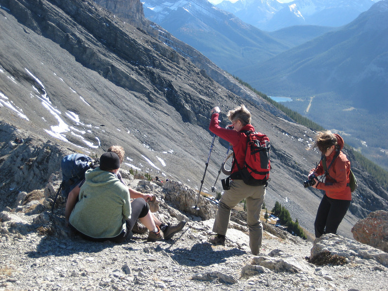
A short photo stop on the edge of the ridge – the wind had great fun messing up the girls’ hair.

As was the case last Saturday, after getting home after the hike/stroll I was still itching for a ride in the sun.  This time I went up to the Nordic Center & was pleased to get all around the Orange Trail, Coal Chutes & the exit trails without unclipping.  The trails were in sublime condition & being early evening there was no-one around – the only life I had to share the trail with was a curious deer.

Alex bailed on our planned Sunday epic to do a Jumpingpound loop, claiming sickness.  Thankfully I had a back up plan – free shuttles at Moose Mountain.  The drive down was fantastic – there are even more yellow trees down beside the highway near the Cochrane turnoff & around Bragg Creek.  Arriving around eleven, I got on the first shuttle up the hill with five or six others – I definitely had the most puny bike.  I followed them all down Race of Spades – it wasn’t too steep & I could easily ride all of the trail & keep up with the group.  There were some pretty big structures & I didn’t hit any of the gaps, but could ride most of the rest – there was a neat bridge up two metres in the trees that wound its way around for a while.  Halfway down there was a really steep climb that had all in front off & pushing straight away – I waited for quite some time at the top.  Moving off, the second half back to the parking lot was just as fun – if not quite as rocky & rooty.  I decided to do one more run to see if I could go any faster – we had a smaller group & it was faster.  I rode a few more structures than the first time – one I was told was rollable, it sort of was – but a lot steeper & taller than I was expecting.  It was the first time I remember bottoming out my forks so conclusively – quite a loud thunk.
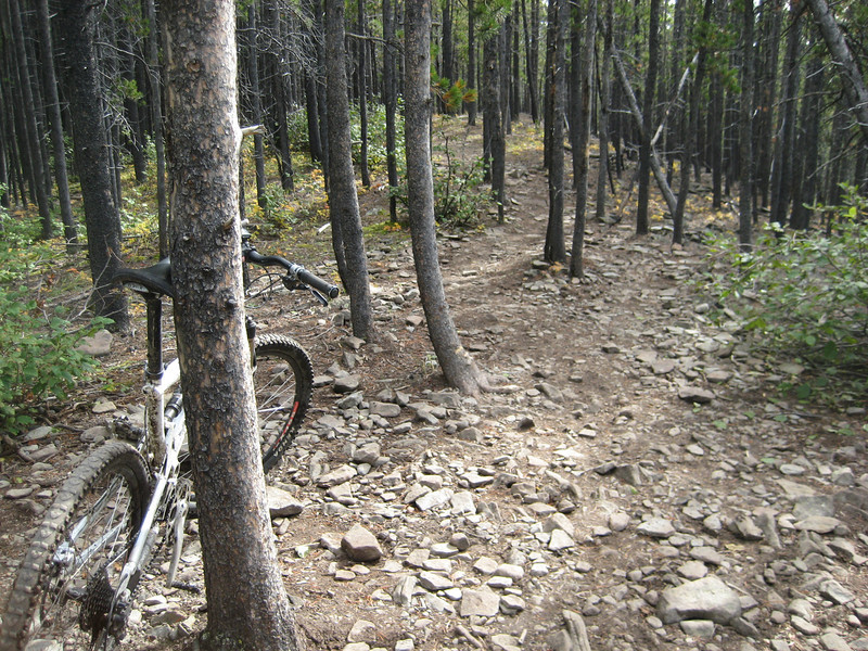
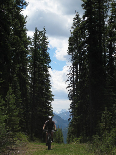
I was too busy having fun riding down to take many photos – here is some typical trail.

Back at the car, it was time for lunch before heading out to do a XC loop.  The shuttle driver gave me some good tips on how to find the new Ridgeback trail.  Once I found the trailhead, it wasn’t too difficult as the signage was superb.
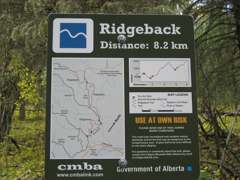
This was a one-trail, ridden there & back mostly climbing out.  The first section, being so new was really muddy & I met a couple of younger guys riding up.  One was on a rather large Scott Ransom while the other was on a hardtail with a broken derailleur (enforced singlespeeding) – this guy was rather strangely riding in white socks & sandals.  They showed me the way & half way up we ditched the Ridgeback for the older Tom Snow trail – it turned out that there were some massive mud bogs in.  The only consolation of having an almost bald XC tyre on the rear was that I got very little mud up my back – mud seemed to go almost everywhere else.  The other guys had to turn around at three o’clock to get back to Calgary to work – so I continued up to the end of the trail to get a bit more climbing in & of course more downhill.
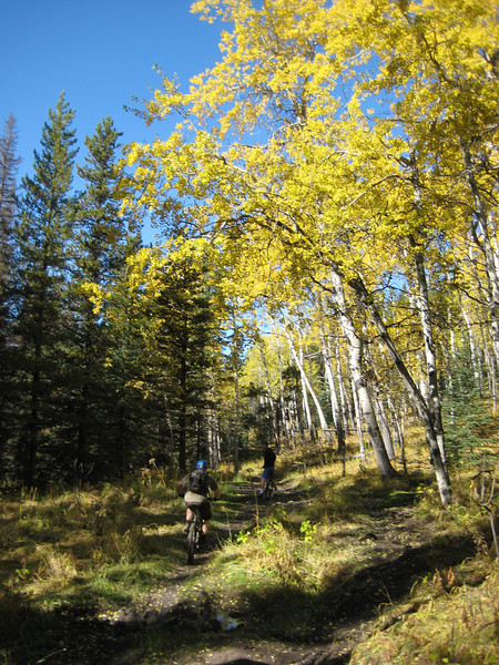
Riding through the beech trees

Looking out from the top of the ride

On the way down I chose the parts of the two trails that I hadn’t already been on.  For the first half this was the Ridgeback – & it was fantastic (& mostly dry) & flowy.  There was a nice big climb for a while, before riding along the ridge & more great down.  I was, & still am,  quite tired after such a great day’s riding.
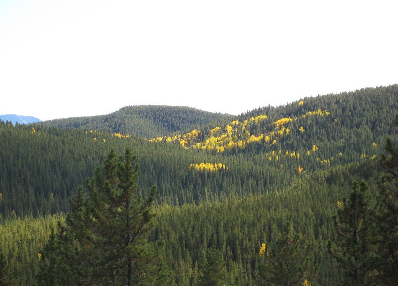
Nothing too exciting

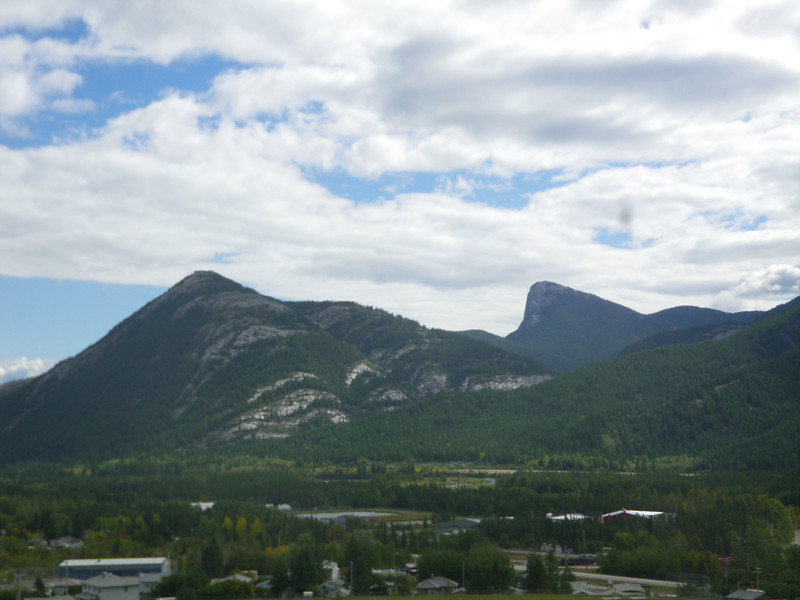
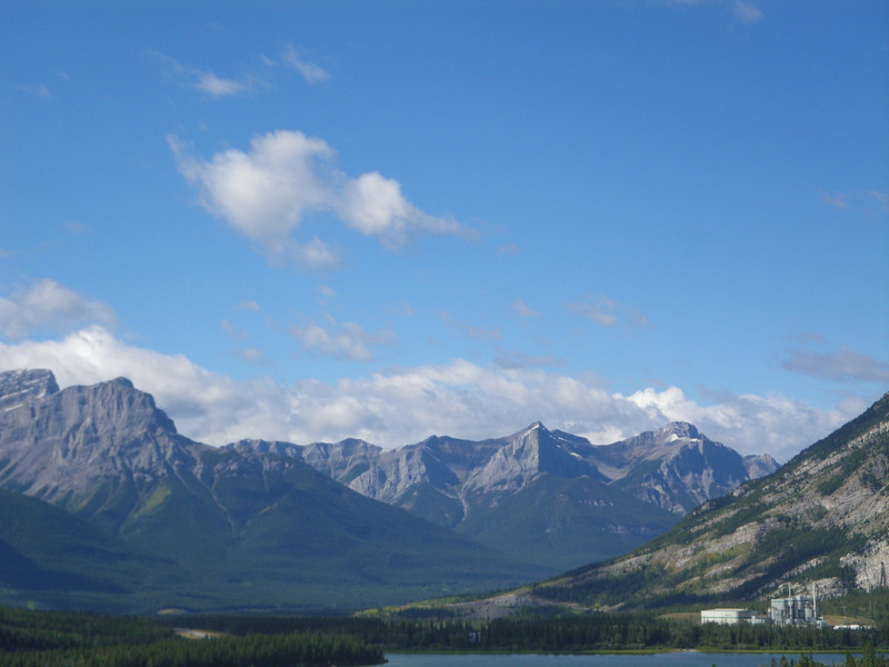
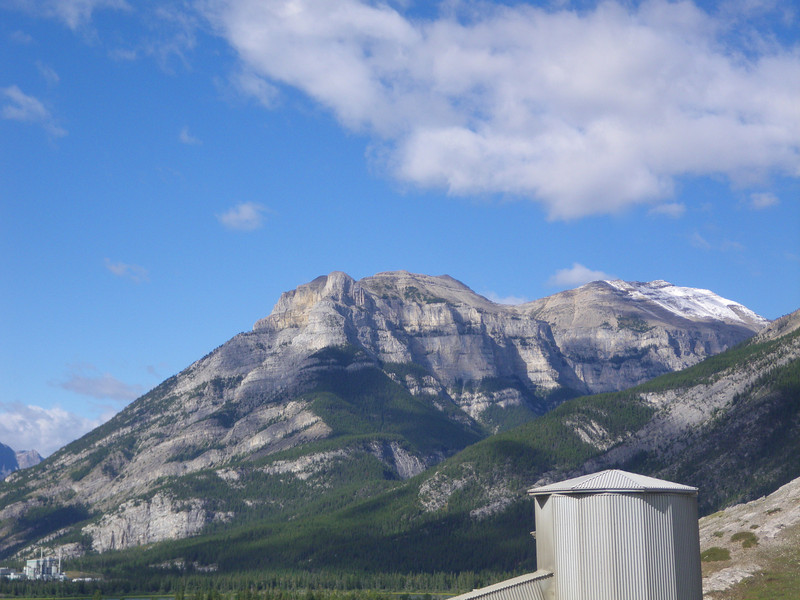
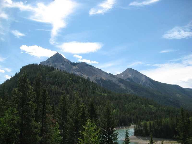
It’s been a couple weeks & it’s been the usual mix of working heaps & riding. The riding has been curtailed a little in the last week due to the inclement weather. Summer has well & truly ended with some determination – it’s been cold & it’s snowed a few times in town. The highlight ride for the last two weeks has been a new trail called Razor’s Edge that word of mouth told us about. It starts near the end of the downhill from the Barrier Lookout (a ride Alex & I have done quite a few times now) & apparently comes out on the TransCanada. Friday before last was reasonably nice & I was keen to explore – so Alex & I parked on the side of the highway after work & rode up Quaite to the top of Jewell Pass. This is Mt Barrier (just right of centre) taken from high up at the cement plant.
We had to ride & push up the downhill trail for a few hundred metres before finally spying the trail branching off to the left. As the trail was quite newly cut, the traverse around to the next pass was quite soft & slippery (thankfully there were not too many roots). Before long we were at the pass – which we had to go along, not over for a change. It was pretty rocky & we appropriately spent quite a while riding along the Razor’s Edge. There were some good slippery drops of which we could do some, & some we weren’t going to attempt knowing that we didn’t really know how long it would be before we got off the trail. It’s always quite neat riding along big slabs of rock. We lost the trail proper at the other end of the pass, but with a bit of bush bashing following various coloured ribbons we were back on the trail climbing up & then around the next peak (the one on the left of the photo above, I think). The descent through the trees (we were by this stage on the reverse of the unknown peak) started off really step & slippery & not all rideable for us – it flattened out a bit, & became really fun before climbing a little & then dropping on to the final descent to the highway. We were a long way above the highway & the trail soon turned to being completely big slabs of rock. It was little hard to know exactly where the trail was, but there were sufficient cairns to make our way down eventually. There were some neat little rollovers & chutes to zoom down. One just had to be careful to stop & take the left turn twenty metres from the highway – or else some poor motorist would have had a MTBer flying off the cliff & landing on their hood. It turned out to be a two hour ride to do only ten kilometres, & it was a little epic in places (hence the slow pace) – but the downhill sections were both rewarding & challenging.

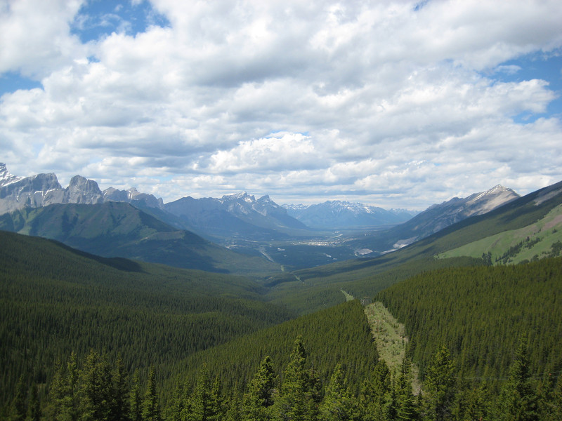
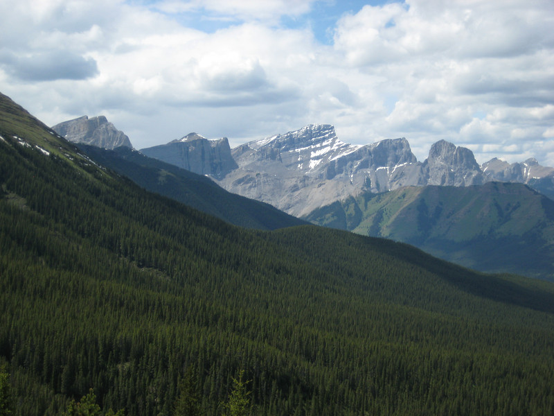
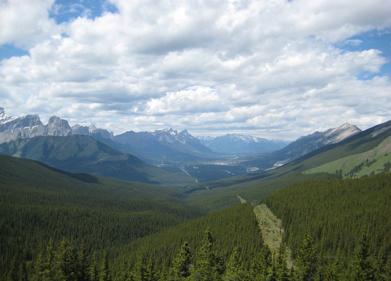
While I’ve got them here, here are a couple more pics taken from the cement plant – looking up the Bow Valley (Canmore is further up there, around the corner a little). It may even be a more scenic setting than NZ Steel; actually, it’s much nicer than the Manukau Harbour & dairy farms.

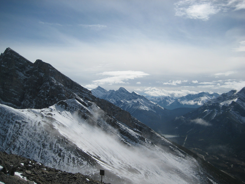
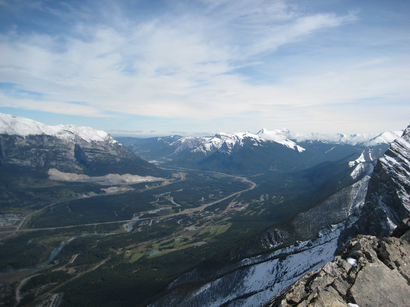
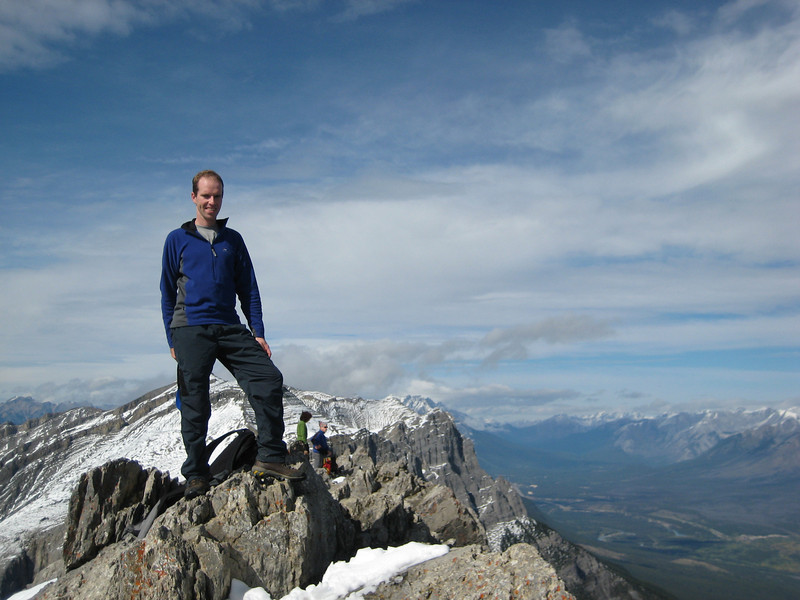
It was pretty wet in general last week, so not too many outdoor activities. Friday morning there was a good few centimetres of snow in town & even more out at Exshaw – when it cleared that afternoon, leaving work was really beautiful (even more so as it was the weekend). Saturday was unexpectedly clear – so I took the opportunity to pop up Ha Ling to get a good view over the Bow Valley & up the Spray Valley. I hadn’t been up there since February, when there was bit more snow around. It’s the easiest summit around here (about an hour up & just under an hour down – the descent time does tend to depend a bit on how slippery it is). The snow was melting by now, but there was still quite a bit around – out of the trees there was about twenty centimetres in some places – & a few chipmunks scurrying around. Nice to have some blue skies & a view for a change.

A nice ride after the hike around the G8 & that was Saturday afternoon. Sunday was a good day for watching TV programs & chocolate chai. The weekend ended on an unexpectedly expensive note after Alex spied a nice pair of alpine touring skis, bindings, boots & skins. They turned out to be in really good condition – so now I have a nice pair of K2s & it doesn’t really matter so much now if the snow comes in a hurry, as I want to go & try them out.

More hiking than riding & new animal sightings

A couple of rides last week, of which the highlight was my first bear sighting. Thankfully, the young black bear was a couple of hundred of metres away from us at the Nordic Center & we saw it first. We hung around at a distance for a little while watching it before altering our intended route so as to avoid provoking it or its mother. Earlier that evening, Alex & I had rode up the road & come down the Reclaimer a lot more confidently than our only previous ride down that trail. Thursday evening was spent taking both of Alex & Megan’s cars to the Mt Shark trailhead in K-Country & leaving one there for us to ride back to Canmore in at the end of our planned hike. Much of the rest of the evening was spent otherwise preparing for our upcoming three-day hike. We were to walk from Sunshine Meadows (over the back of the Sunshine), past Mt Assiniboine & then past Mt Shark to the car. As it’s only about six weeks before the baby is due to arrive, this was planned as being the last big hiking outing for Megan & Alex for a little while.

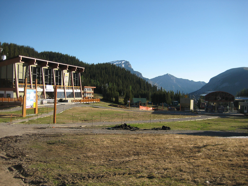
Friday dawned nice & clear & James took us up to Sunshine Village (he works at Sunshine too), saving us a walk up a big hill. Here’s what the village looks like out of season:

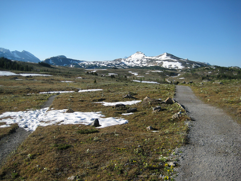
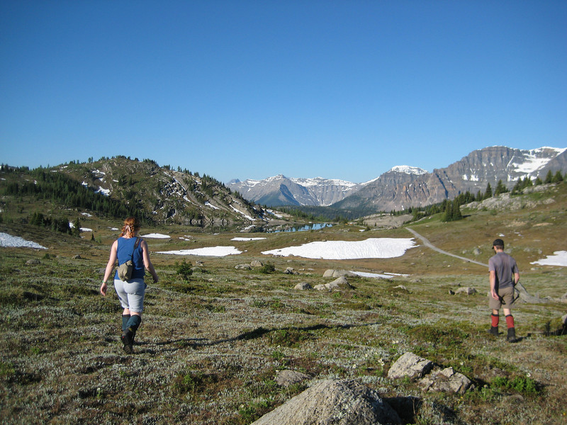
We were walking by 7.45 that morning & quickly up past where the old Strawberry lift used to be (it’s being replaced this off-season with one that was used in the Vancouver Olympics). It was a bit strange walking up ski runs with no snow oblivious to the fact that a few months ago I was skiing down them & then suddenly recognising different parts of the terrain. The trail across the meadows was wide & easy.

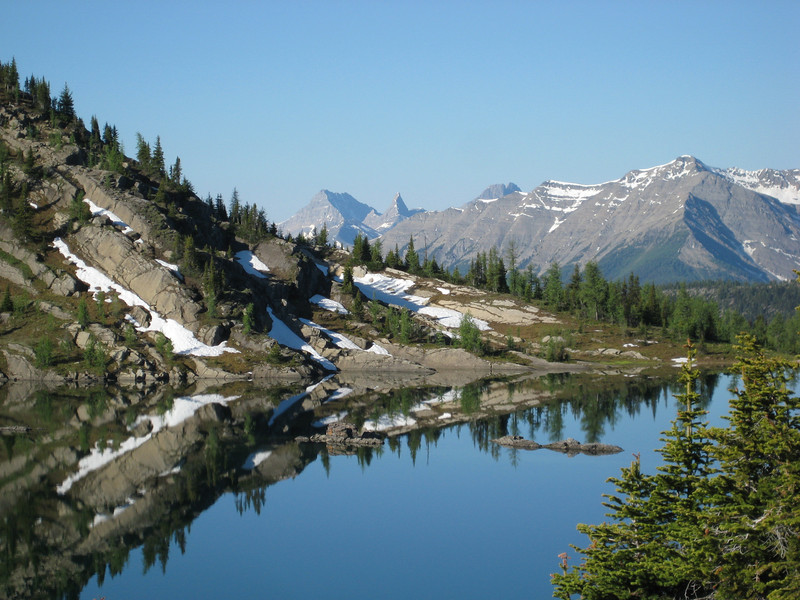
As the day was so still, we took a short detour to Rock Isle Lake to have a look – it was worth it.

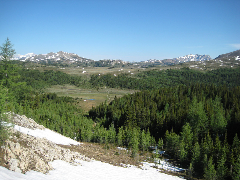
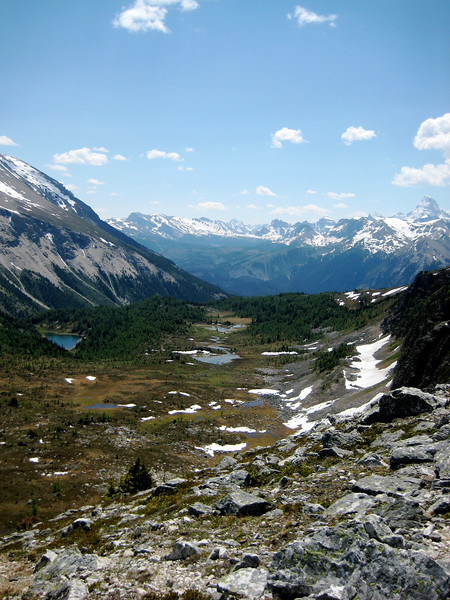
All along the meadows we were amused by the antics of the multitudes of ground squirrels popping their heads out of their burrows to watch us go by, chasing each other around & generally just running around in an amusing manner. Before long we had a climb up through a few snow drifts (nothing major – definitely not waist deep as Parks staff were advising) & we could look back over the meadows.

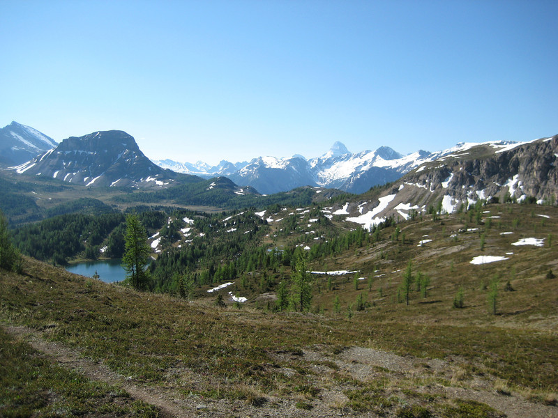
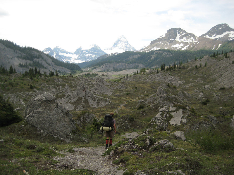
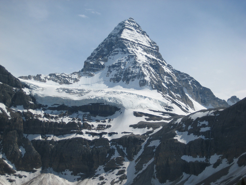
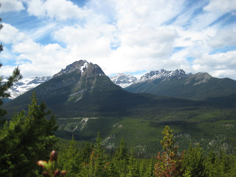
Looking the other way, we could see Lake Howard Douglas (foreground) & Citadel Peak (just beyond the lake) & our first view of Mt Assiniboine (largest peak in the centre rear). We next walked up & over Citadel Pass (just to the left of Citadel Peak) – the highest point of our hike (2360m).

On the way there, we looked down & eventually saw Citadel Lake (which hid from us for quite some time).

We lunched at the top of the pass, with a lot of day walkers also thinking it was a good spot – which it was, the view was pretty good. Alex & I scrambled up a bit higher towards the peak & got a great view down towards where we were camping the first night & further on to Assiniboine.

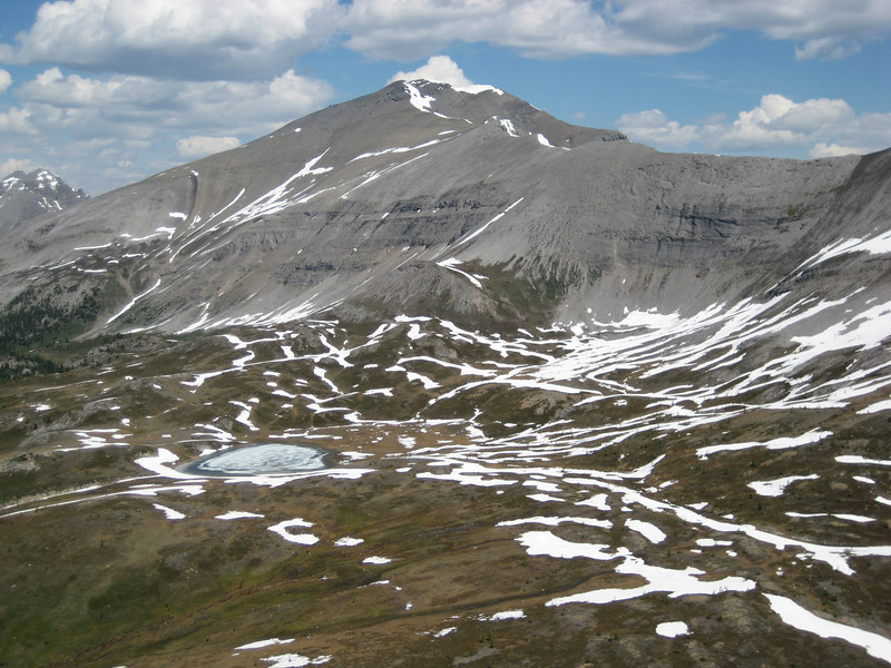
Looking back towards the meadows, one of the small lakes still had a large percentage of its surface in ice.

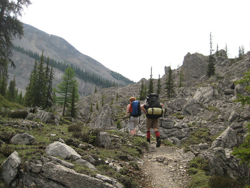
From the pass it was three hours walking (mostly) down to the valley floor to Porcupine campsite. We were all pretty tired, even though it wasn’t such a difficult walk – Megan carrying a baby, Alex with a super heavy pack, & me carrying a pack with a tent & sleeping mat in it for the first time & just generally weak & not used to carrying a pack. After the first & only rain all day falling as we put up the tents, the rest of the afternoon was spent relaxing, purifying water (an involved process with the borrowed pump-filter & UV SteriPen), cooking & eating. A bit later on a couple of English guys from Cheltenham wandered in to camp – they had started at Sunshine Meadows a few days ago & were on their way back from (next to-) Mt Assiniboine. They were able to give us a few pointers on the trail ahead – get through the Valley of Rocks before it gets hot & so on – & I was able to update them on World Cup results. It was a couple of days after I said I would come on this hike that I realised I would miss the final, I was disappointed – although it turns out I didn’t miss much. We hit the hay early (nine-ish) & I slept very well, only briefly woken by a heavy shower of rain when it was still dark. It was a stroke of genius taking my trusty Air NZ eyemask – as it’s only dark at night here from about 10.30 through to 5.00. For most of the first day we crossed over the Alberta – British Columbia border time after time, eventually ending up in BC for the night & the next day & a half.

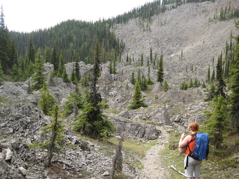
We got away at about eight o’clock on Saturday morning. It was a climb for thirty-odd minutes away from Porcupine & in to the Valley of Rocks. While we avoided the heat that the guys had had the previous day, it was quite warm & really humid with the overnight rain still sitting around on the foliage. The Valley of Rocks started out rather disappointingly, but eventually the rocks got bigger – but not as big as I expected from various descriptions & not too impressive as they weren’t really standing alone. We surprised a moose (the first I have seen) having its morning drink – that was neat; a little later on we also had a good look at a porcupine (also the first I have seen) stationed in a tree after we happened upon it – they are a lot bigger than I expected.

As we got close to Lake Og (a convenient lunch spot), Assiniboine came back in to view again.

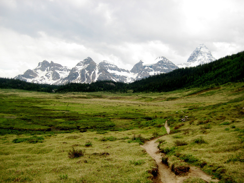
From the lake, we had an easy climb up to Og Meadows – which did take quite a while to get through & it’s for good reason that that walk is nicknamed the Slog of Og.

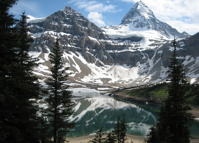
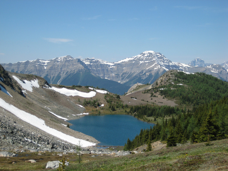
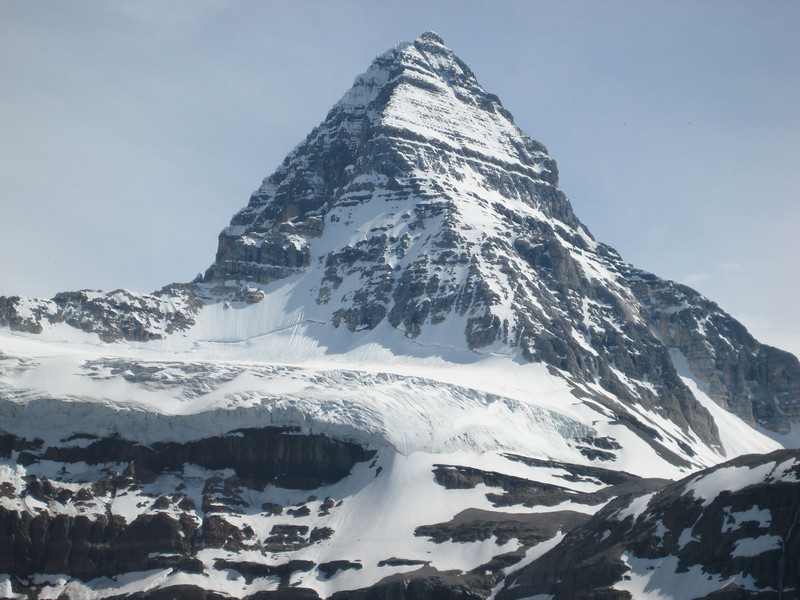
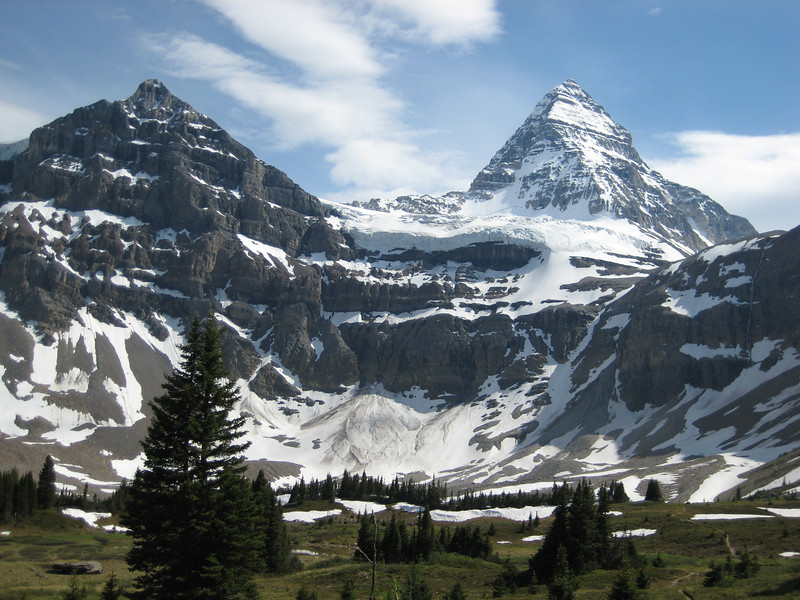
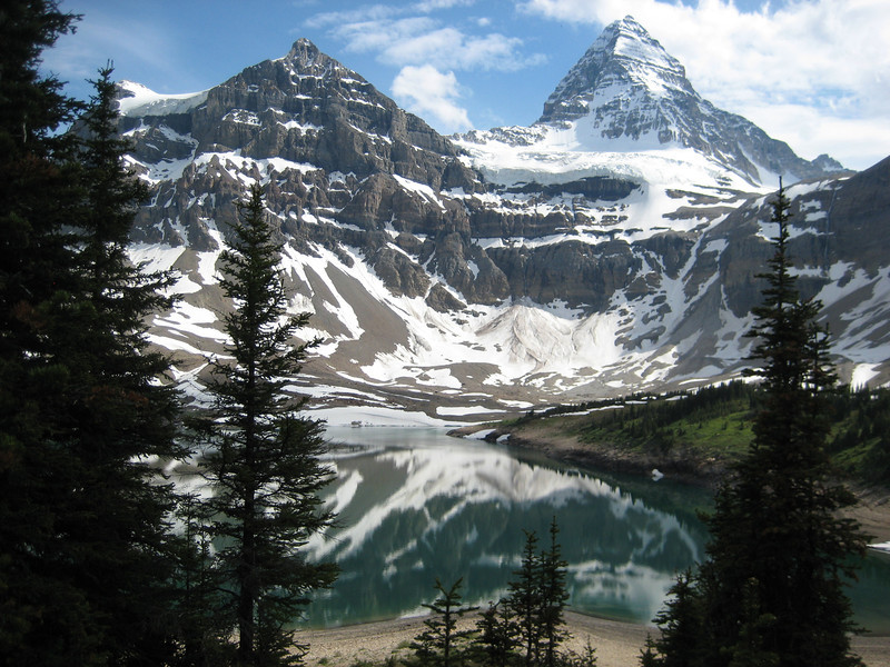
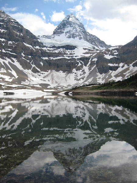
It threatened to rain on us as we sat on a big rock & watched the ground squirrels try to get up to us. As soon as we came down off our high-spot, the rain took off. We were by this stage getting close to Assiniboine Lodge & the junctions, & therefore signposts, got quite close together. This was a good sign as we only had about four kilometres to go to reach our campsite at Lake Magog – right underneath Assiniboine. Once again, we reached camp at three o’clock. This campsite was a lot bigger with a cooking shelter, about thirty campsites & a few toilets (that were even cleaned daily & had paper). Strangely, none of the sites gave a good view of the mountains. Once tents were pitched, I was keen to pop across to the lake as the sun had reappeared. I wandered off, leaving the others to relax – as I was feeling rather alone with just my water-bottle, camera & bear spray I took to singing the Philosopher’s Song to warn bears of my presence – a song that I realised I knew most of when we broke out in song some time on the Friday. It was a pleasant walk along as far as the trail would take me before I hit too much snow. I was well rewarded too:

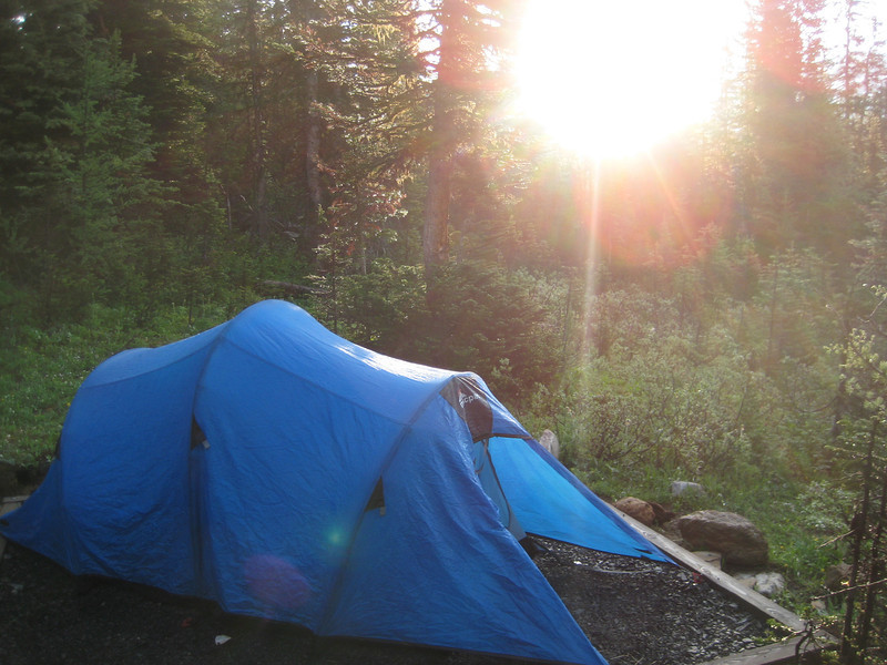
Having done fourteen & sixteen kilometres of walking the previous two days, we had 27 km to walk out to the car on Sunday. We were up before everyone else in the campsite – but it wasn’t really that early (6.30-ish). There was a bit of cloud around, so no great early morning photos – but here’s one of the tent I borrowed off Megan – a macpac to go with my pack & most of the clothes I was wearing, not quite sure how that happened.

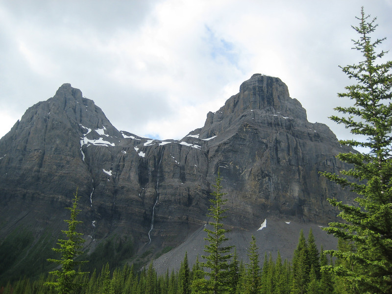
After briefly detouring to see what the lodge looked like (nothing special), we had an easy climb up to Assiniboine Pass & then back in to Alberta. Most of the rest of the day was spent walking down hill, first steeply down the valley & then reasonable mildly as we followed the Bryant River.

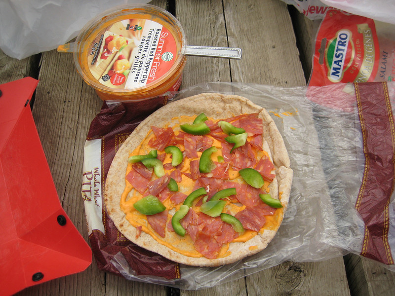
We must have made enough noise playing various alphabet games (first countries, then capital cities, then people of [debatable] historical significance) as although we were in bona fide grizzly country, we did see any. Lunch was before noon again on a convenient bridge, here is the pizza-esque pita bread that was my staple lunch for the trip.

We crossed the Spray River & then had our last big steep climb for about an hour – by now we were all pretty tired (Megan especially) & the final gentle decline to the waiting car took a long time. But 57 km & three days later we made it (still can’t believe Megan managed all that – what a trooper) – what a great weekend & with excellent scenery, weather & company. (There are quite a few more photos, & even some of me, in Alex’s smugmug gallery and also in Megan’s.) We saw another moose on the drive out from the trailhead – very cool.

The sun stuck around for a bit

Yes, yes – the rain has gone away (obviously listening to little Johnny) & stayed away for most of the last ten days. I’m still working weekdays at the Banff Center – although that project is supposed to wind up this week, so with a bit of luck I’ll get some more work after that. I’ve been riding so much I’m having trouble remembering the rides last week. Tuesday last was the Highline trail again, I think. We climbed up to the trail proper from Quarry Lake & rode west to east. This route up was pretty good – not all switchbacks & all manageable in the middle ring (for me at least) – it also looked like a gnarly ride down that would flow together nicely. This was a shorter ride than riding up the Three Sisters way or riding up to Riders of Rohan – we were back in an hour & a half. Still a good ride – & Alex seems to be keeping up with me a lot more on the downhills. It’s amazing what a regular riding & a decent pair of tyres will do for the confidence.

I went & saw the tree that I rather ignominiously shoulder-barged in the rain on Friday after work. We were back at the G8 trail on the other side of the Bow Valley. This time we managed to string the loop together in the correct way & it was really quite enjoyable. Of the four rides that line the hills on the Canmore town limits, this is by far the easiest with not a lot of climbing (comparatively speaking). But that doesn’t make it any less fun & a great way to unwind after the week at work. We crossed the walking trail up to Grotto (which we hiked up a few weeks ago) & headed out to the extremities of the trail that we didn’t find last time, enjoyed some nice sweeping corners down a small gully, looped around & headed back to Cougar Creek (the starting point) before cruising home via a small jump park. There were plenty of easy log rides to do, & a quite a few jumps of course. The jump park was overrun with ground squirrels, which were quite amusing.

A group of seven of us went for a little hike on Saturday afternoon. Driving past Banff on the Transcanada, we turned west at Castle Junction on to Highway 93 to walk to Arnica Lake. It was only five kilometres to the lake & only 350 m (climbing) – but having to descend first to Vista Lake, lots to look at & a larger group we took our time.

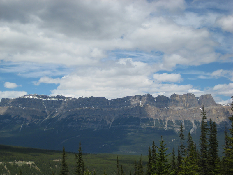
Looking back across the Bow River to Castle Mountain
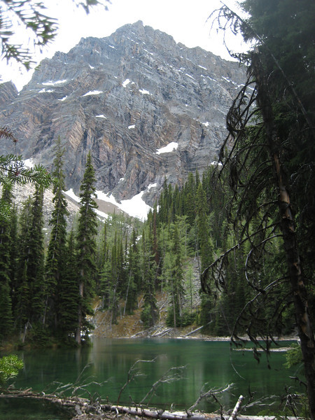
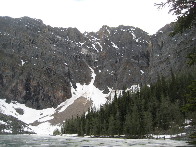
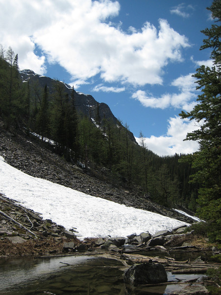
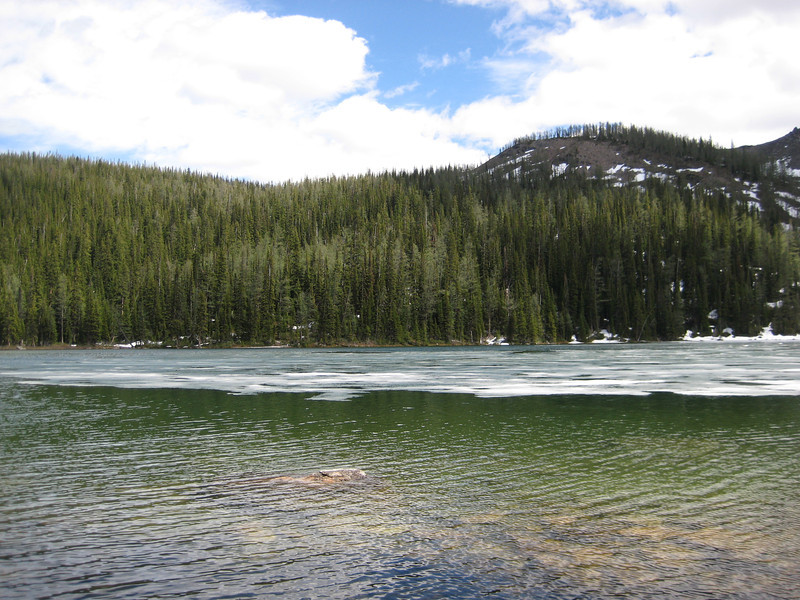
The alpine Arnica Lake still had a layer of ice on it – which we amused ourselves with trying to land rocks on it, alas it was too thin.

After watching most of England’s unfortunate exit from the second round, Alex & I headed back to the Heart Creek parking lot. We had a slightly more ambitious loop planned for another beautiful Sunday. We started by retracing our path of two weeks previous & heading up to Jewell Pass. We never worked out why we saw so few people out & about – only a few climbers in the parking lot & a couple of hikers on the trail early on were all we saw before we reached the top of the pass. Having been rather uncomfortable on the climb from the recently inflated rear tyre, I let a little air out before what I knew was going to be another fantastic blast down Jewell Pass – & it was, unfortunately I got a snakebite half way down – grrrr. After changing that tube, we carried on down to the power lines & finally met some more people out enjoying the countryside.

Having found another geocache, it was a ten kilometre ride up the valley to Nakiska Ski Area. Mostly we followed the power company access track, which was mostly pretty annoying gravelly rutty uphill. We could see over to Baldy Pass which we rode over last weekend – it’s over there just to the left of the right-hand peak:

Getting quite hungry by this time, we followed the cross-country skiing trails up to a bridge that we spied on the map boards (a quick side note – many of the recreational areas around here have great little & simple map boards at most intersections, so convenient). It was a long climb (mostly because we were hungry I suspect) to the bridge – & the bridge wasn’t even a bridge, it was a culvert with no troll underneath (the falls just downstream were called Troll Falls). Nonetheless, we had lunch & carried on up to Skogan Pass. It was reasonably gentle climb (middle ring – all day in fact) up to 2150 m over seven or eight kilometres of the road.

After passing through a little residual snow we took the little side trail up to the top of the pass for some great views over the Bow Valley. There is Canmore down in the distance:

The Three Sisters – centre & just right of – not quite as impressive from this angle
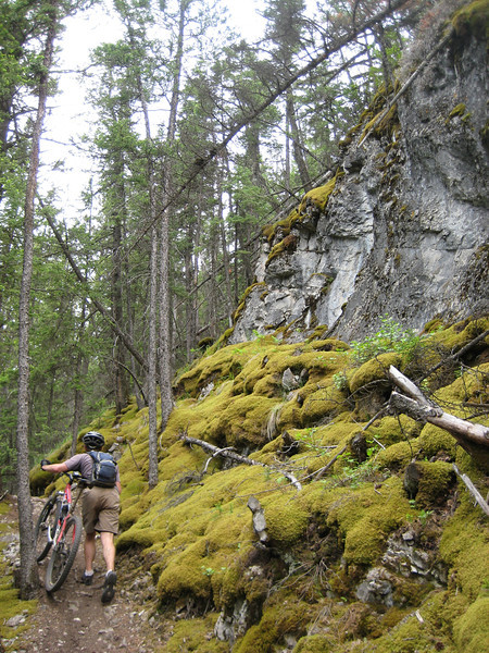
It was mostly power company access road for the descent – with a little bit of annoying climb to mix it up a bit. It was a good fast descent – my bike computer had somehow come back to life – I spent a lot of the drop over 45 km/h & almost hit sixty at one stage. In parts the trail narrowed a bit & near the bottom we met a couple of groups of hikers – thankfully on wide open sections where we could see them in plenty of time to slow down a little.Back down near the TransCanada highway, we still had a little way to go to get back to the car. Given the choice of the highway or the TransCanada Trail – we took the singletrack. It started off pretty mellow, & then started climbing up above the highway & got quite tricky with lots of roots, rocks & steps. By this time we were getting pretty tired (over five hours out by then) & a lot of the sketchy looking obstacles were walked over. There was some neat soft moss around that was good for resting on:

Pushing up a long rockface for a minute or so I was glad to reach the top, but also noticed my recently replaced rear tube was getting a bit soft. Stupidly, I ignored it as it wasn’t long until we reached the car. Of course, I got another pinch flat within fifty metres. Alex left me to patch it alone as he seemed to think he was going a lot slower than me. I patched two holes & then enjoyed the singletrack until we hit more fire road & a big climb & I noticed that my tyre needed pumping up again (I found a third hole on the inside of the tube in a different place this afternoon) – this was just getting frustrating. I eventually made it back to the car shortly after Alex – that last section ended up being close to seven kilometres of the most technically demanding trail we had had all day, not the best when you are already a bit tired. So in the end that was a six and a half hour adventure, fifty kilometres, 1600 m of climbing & two flats to keep my hand in at pumping up tubes.

To round the weekend off with a bit more exercise, we had a short game of social soccer on Sunday evening – can’t think why I was a bit sore climbing up the stairs to the roof this morning at work.