I had planned to break the five and half hour drive after work to New Plymouth with a stay overnight halfway. But the weather window was good and someone decided that Friday was the day to summit Mt Taranaki – I could hardly miss out on such an adventure and new experiences with dear family and friends. I’ve climbed higher peaks, even in the North Island, but never in winter through such snow and ice cover. So I was pleased to arrive safely in New Plymouth not too tired.
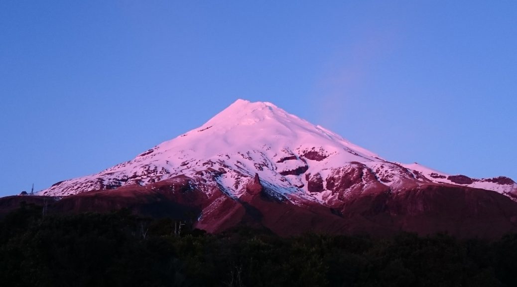
Leaving the parking lot at the North Egmont Visitor Centre, it was just on sunrise and we were treated to the mountain being bathed in a wonderful glow.
 The clear skies were also pleasing to see.
A relatively steep double-track road (used to service the transmission tower we reached just before donning our crampons) took us through dense native forest. Gnarled old trees, branches and foliage lost as the mountain stood above.

 I was taken with the difference and large crown of the cabbage trees – most unusual compared to the ones I usually see.
As the snow layer thickened, we reach an alpine club hut. A little salubrious – electricity, flush toilets and swipe card access. Crampons were fitted to my boots (and everyone else’s, but it wasn’t unusual for Adele, James & Dan), snacks taken on, sunscreen applied and we were off into the snow and ice.
It took a little to get used to walking around with big spikes attached to one’s feet. Using the handle of an ice axe as a walking pole, on the uphill side of the traverses, was more difficult to get a rhythm going with. Switching hands through the leash (it doesn’t pay to lose an ice axe down the slope) every time we switched directions also required more concentration than simply walking.
 After a short section of quite narrow snow between rocks and a drop (great introduction), our route opened into a nice wide gully.
Apparently it was time for me to learn to “self-arrest”. Which basically involved throwing oneself down the hill, getting a bit of a slide going on (keep your feet up to prevent snagging them) and leveraging the ice axe into the snow to stop the descent to certain peril. Brilliant. Two such attempts were enough.
 Steep enough for this novice.
We watched a large layer of cloud slowly approach us from the east and smaller clouds blew on top of us and soon fled. It was a surprisingly calm day for the most part. Occasionally we were exposed to a bit of a southerly, but conditions were generally benign. Small patches of white-out conditions had us following the poled route.
Due to my inexperience it had been decided we’d take the easiest, least interesting route up. It was plenty interesting for me but – constant thought of where one was stepping, trying to get as much contact between crampons and snow, driving ice axe in. So much so, that I had to stop to admire the view, rather than looking aimlessly while walking. There were four others that we shared the walk up with – everyone taking slightly different routes up.
 Approaching the crater, the ice formations became larger, more unusual and at times surreal.
 In the crater, the surface turned from snow to lumpy, knobby ice.
 It looked rather windswept. While we were still bathed in sun, a layer of cloud encircled the lower reaches of the mountain.

 Out of the crater, one last pitch up to the summit. Here the ice was in much larger lumps, some of them shattered when bearing weight, others didn’t – they all looked potential ankle breakers though.
 Five hours after setting off, we had ascended 1500 metres and enjoyed a bit of time on the rather flat and, in this case, calm summit.

Dropping back down to the crater, we lunched in the sun before starting the descent. Back on the snow, it took a little while to get any sort of technique to go at a decent pace – this involved moving from walking across the face using the whole sole of the foot to turning to walk down the steep slope and relying on one’s heels to dig in. It worked, until it was too steep and I became more faint of heart.
 The weather closed in again, and after two hours of slow descent (oh for skis) I think I was starting to get a bit fatigued. So repetitive…
One of the other parties inadvertently followed us down – which would have been OK, except we were not going back to the hut where they were heading. As the visibility vanished, we cut back to the poled route so that they did not get lost. Parting ways just before the hut, we missed a bit of the track out by taking a narrow gully – we tried sliding down, sans sleds, but it was rather bumpy.
 Back on the access track – golly it got steep, no wonder it was paved in part.
 Things cleared a enough to admire a bit more of the scenery.
My legs held out enough to make it back to the car. But how I would pay for it the following days – barely able to get up and simply walk, my quadriceps have never felt so tight. All worth it though – a fantastic day out learning new things, going new places with great people.


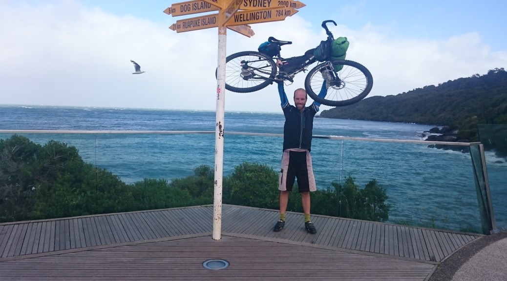
 The year started off with a couple of overnight bikepacking trips as some form of light training. This one riding the gravel road from Wairoa past
  I also persuaded Steve to join me on a great local ride to
 The
The  Much to my surprise, my favourite day was through
  Another highlight was staying overnight in the remote old gold mining area of
  The
The  After freezing riding up the
  My winter break was a week down in Central Otago for
  Perhaps
  We stayed at Arapiles, where Adele joined me for the renowned rock-climbing (it was quite a family & friends month). I almost popped my other shoulder and swore off rock-climbing forever. I didn’t sleep much camping in the west-Victorian weather, but it was a great trip.
 I did, of course, take a bike and managed a
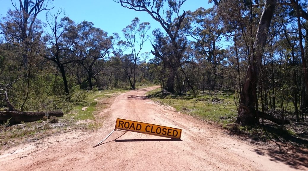
 Nothing to see hear folks, move along.
 The road widened for a while before I turned off.
 Onto another closed track, which narrowed, I startled many a kangaroo. They, sensibly, all bounded off away from me.
 The roughest bit of the day & the only bit I ended up walking. There’s a bit of a climb there and the surface deteriorates half way up.
 Some of the creek crossing were fun to try and get across without dabbing. I soaked a foot in an earlier, deep, one – but as the cloud burned off this didn’t bother me.
 The hills that had been in the distance, steadily got closer.
 Easy gravel road riding. Smooth, wide – & red!
 I stopped for lunch where there was half a view, and finally decided it was warm enough to remove my gilet; sleeves stayed on as they are good sun protection and it still wasn’t hot. Perfect.
 Even the swamp in the bottom of the valley, was looking good –
  Suddenly a water-logged airfield. The top of the hill on the left was my start and end point.
 The only photo I managed to nab of an emu.
 I took a small side-trip to some falls, reasoning that they might have water over them.
 I’d basically ridden from the bottom of the left of shot, towards the reservoir before continuing beyond it to the left, going between those two small hills and then heading back right on the other side of the reservoir.
 Following that, I came back towards the camera in this shot before heading around the spur in the centre and finally back up to the lookout.
 And there are even some rocks.

 Found this where the track met the road/track in from Raetihi. Bike looking very lightly loaded as I’m wearing all my wet-weather gear.
 Every so often there would be some sort of introduced flowering plant still surviving – the contrast was stark. Still quite a few non-native pines growing strongly.
 There were also many small signs with surnames displayed – remembering the families that had those particular plots. This simple method of memorial was quite poignant – as there really is very little left showing forty-odd families lived here.
 Across the valley – there are many ferns there reclaiming the grassland.
 The riding was pretty easy, still heading down. There were quite a few bits where riders were advised to walk – but as they had nothing on the
  It was built to give better access for the families described above – to save them clambering up & down the valley walls. But by the time it was built they had the road (that I’d just ridden in on from the north) for access – so it was of little use and therefore little used as river access was no longer important.
 My bike, a rock and quite a river.
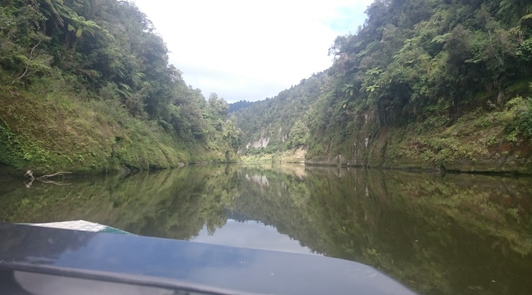
 So it happened that I did get a ride on this boat – I think we had ten bikes and riders. I was pleased my bike didn’t go on a rack projecting out from the stern.

 Number plate shed caught my eye.