Bikes were wrestled onto the top deck to take us across Manapouri to West Arm. Predictably in these times, there were few passengers. We cooked sitting on the starboard side indoors, it was far more pleasant on the open deck above to take in the lake and surrounding mountains – we just had to forgo the interesting commentary.
 Easy going!
 Over there somewhere.
 Plenty of sweet beaches if one was out in a boat – which many were on this public holiday.


 A little teaser of what the afternoon had in hold.
Somehow our original plan of spending the afternoon heading up Wilmot Pass, and possibly dropping to Doubtful Sound, before returning to West Arm for the night in a hut completely went out the window. I was rather looking forward to ditching some gear for a big climb and descent to somewhere new, and eating a lot of the food I was carrying. It’s a pity that one can no longer go down and tour the Manapouri Power Station deep below the earth (thankfully we did it as a family when I was much younger), there wasn’t even enough time to geek out reading all the displays in the visitor centre, hmmm. Still, the afternoon promised new places and challenges.
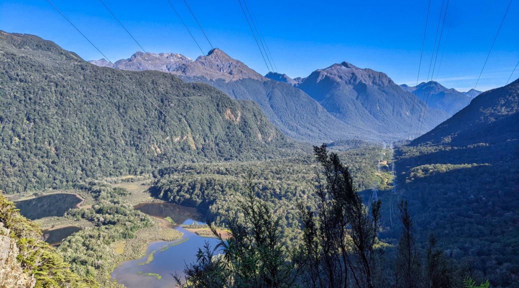
The skipper gave us helpful tips of finding the start of the pylon road. As warned, it was steep at the bottom and with neither my load lighter or my blood back to normal I was soon walking. The lush bush provided good shade, nonetheless it was still warm. Soon everyone was out of sight, not to be seen for a long time. A bit miffed at this change in dynamic, I switched to solo-bikepacking mode and took in the ever-changing and expanding view at a sedentary pace, pausing a fair bit. What a place! I couldn’t even resent the pylons and HV lines in most views – they were the only reason there was a road here for us to explore.


After a significant snack stop, I rounded a corner to find Andy and Rachel filling bottles at the last notable creek before the road clung to a rock face for some time. Nice to have some company again. We could just see Debbie far above.

 Rachel heading for some rock fall debris – easily negotiated on foot.
 Back down to West Arm, a small section of the road up.
 Quickly up a few switchbacks.
 Oh yay, I wasn’t the only one walking.
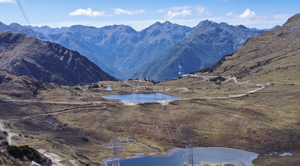
 A bit of a plateau before the final climb to the saddle, lovely up here.

 Peering over the precipice.
Bit of a problem here. The topography between the pylons we were standing at and those closest in the photo above is so steep that the two pylon roads were never joined to form one road. So we had the six hundred metre gap to close, with two hundred metres to drop.
 Grade 5 Expert. Expert hike-a-bike, that is.
 Would have been nicer just to stay and admire the scenery, roll back down to the boat and sail across the lake. But, no.
The first half was exposed sidling around a steep, rocky bank and then above a sketchy looking scree slope. I’m only now perturbed that I was encouraged to lead off down the precipitous slope. Did I look more like a mountain goat or a scape/sacrificial goat? This section was more of the reason I was slightly put out that I’d not had the chance to eat a lot of my food overnight, as per the stated plan. Extra weight through all of this was going to be tiring. Nothing for it, but to sling my saddlebag over my shoulder and hoist bike while picking my way down.
None of it was particularly easy going, but only one section caused a big pause – a big step down right above the scree. It was negotiated with difficulty, a bit of a bum slide, but safely enough. The faint path went around the top of the scree onto more stable ground.

 Yeah, I said “faint path”. Spot the marker; at least it was marked by the local MTB club, would be very useful in worse weather – which I hope I don’t experience here.
 Over the edge of the scree.
 Almost safely in the bush for the second half of the descent.
After forty-five minutes it was a relief to get away from the exposure and into the bush. That was short-lived, although while safer, it was far harder and slower going in the trees. Cue an hour of wrestling a loaded bike over and under fallen trees, down and occasionally up the slope. Big pins on flat pedals were both a blessing and a curse – at times hindering forward progress, and at other times stopping the bike tumbling down onto rocks or trees below. My saddlebag made a good habit of swinging around beside me and getting in the way, the strap chafing my shoulder well.
After another three-quarters of an hour of this I could feel the fatigue starting to settle in. How much more was there? The others were close behind, or so I thought, as I could hear them clearly through the dense bush having their own struggles with bikes, trees, rocks and the gradient. An hour and three quarters after leaving the pass, blessed sight, I popped out of the bush to the roughest of clearings and the pylon we’d been working towards for so long (so near…) towering above. Relief. I may have kissed the ground. Definitely the hardest hike-a-bike I’ve done, possibly the stupidest place I taken a bike. Can’t wait to return lightly loaded and with a trail bike. It’s spectacular up there.
Maybe the others were a bit further behind. They heard my shouts of joy and relief clearly, but it was another fifteen minutes before they all emerged. Seemingly working as a group was even slower, plenty of tales of both pedals getting hung up on trees as both wheels simultaneously got jammed.
 Rachel negotiating one last rocky step down.
 A photo that gives some idea how steep it was, rare indeed.
After a decent break to collect ourselves, the rest of the big downhill! This would have to be one of the steepest service roads I’ve seen. So. Much. Fun! Really loose in places, there was also some very chunky rocks to keep the surface sketchy on bikepacking tyres. I loved bouncing down, getting close to the edge, pausing to take in new aspects of the view – and wait for the others. By the accounts I heard, walking at times sounded far harder than riding.


 Thankfully we were following the left lines, not climbing up to those pylons on the right.
 Waiting at a hairpin.
 From said hairpin, Rachel’s photo.
Down at Percy Stream, there was water to stock up on (obviously) while waiting, before a little rise and the most pleasant roll through beech forest down the Grebe valley to the South Arm of Manapouri and the campsite for the night. A late dinner was cooked on the lakeshore, a thoroughly pleasant end to an excellent afternoon challenge. I think we were all satisfied to see the back of the Percy Saddle bike-carry, but thrilled at the terrain we’d travelled through – new to all of us. What a ripper.


Andy’s footage of the day does a fair better job of showing the climb, carrying and landscape than all this.


 Up there! About the time the climbing really started.
 The small lakes beside the Grebe Valley easily caught the eye on the ascent.
 Stopping at an actual lookout, half of the climb done.
 Just a few switchbacks to go…
 Takitimu Mountains from the highway riding; with little traffic it was most pleasant.


 Easy going!
 Over there somewhere.
 Plenty of sweet beaches if one was out in a boat – which many were on this public holiday.

 A little teaser of what the afternoon had in hold.


 Rachel heading for some rock fall debris – easily negotiated on foot.
 Back down to West Arm, a small section of the road up.
 Quickly up a few switchbacks.
 Oh yay, I wasn’t the only one walking.
 A bit of a plateau before the final climb to the saddle, lovely up here.
 Peering over the precipice.
 Grade 5 Expert. Expert hike-a-bike, that is.
 Would have been nicer just to stay and admire the scenery, roll back down to the boat and sail across the lake. But, no.
 Yeah, I said “faint path”. Spot the marker; at least it was marked by the local MTB club, would be very useful in worse weather – which I hope I don’t experience here.
 Over the edge of the scree.
 Almost safely in the bush for the second half of the descent.
 Rachel negotiating one last rocky step down.
 A photo that gives some idea how steep it was, rare indeed.

 Thankfully we were following the left lines, not climbing up to those pylons on the right.
 Waiting at a hairpin.
 From said hairpin, Rachel’s photo.


 Up and away from Lake Dunstan and Bannockburn.
 Into the cloud at the summit.
 Unsure if Andy’s face or the weather is more grim – one clearly a reflection of the other.
 Brighter down there!
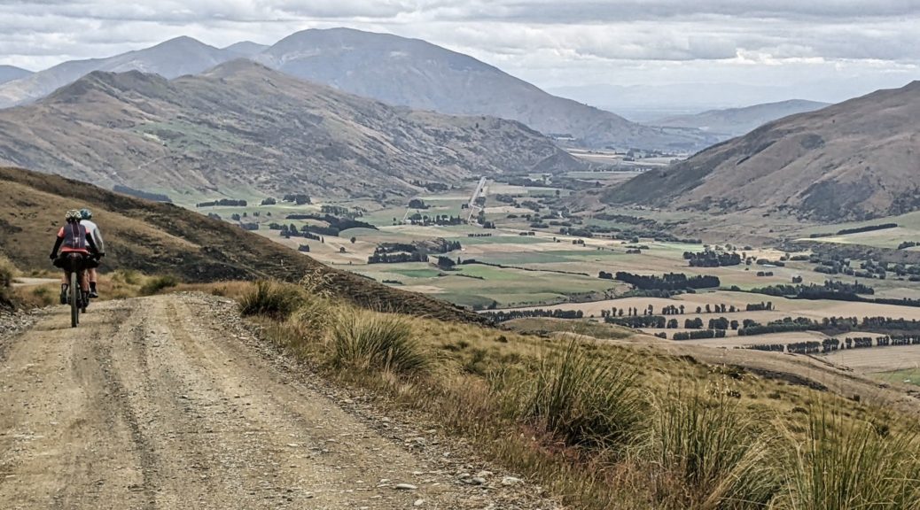
 Climbing out of Otago, these are now Southland hills.
 Can’t complain about this downhill though; more GSB memories of an incredible
  Leaving the Railway Hotel, a long time since the railway came here.
 Do quite like it up here.
 Over the Maniototo with the Rock & Pillars in the distance. I’d soon zig and zag along that ridge at left to get onto the Ida Range.
 Doesn’t look too far away, or that lumpy.
 Hills Creek heading to the left of Raggedy Range to join with Ida Burn near Oturehua.
 Maybe sidling around here wasn’t such a fantastic idea, time to veer for the ridge.
 It’s not far away, just have to get around there, by heading right. (Summit back left.)
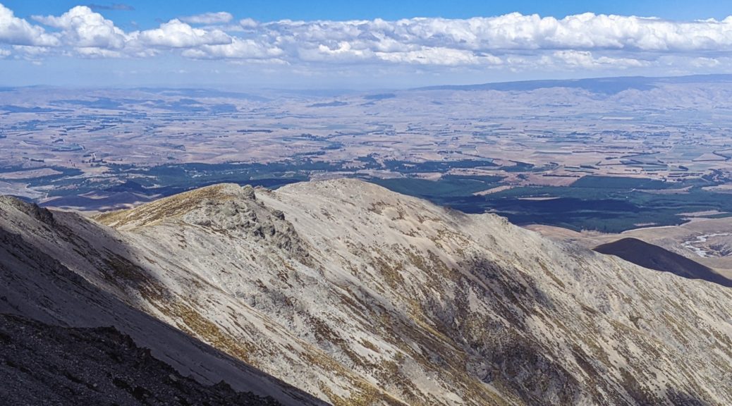
 Northeast over the Oteake lumps and gullies to St Marys Range.
 Little Mt Ida, and its transmitter, looking, well, little. Ida Burn forming and then tracking away from the Maniototo plain.
 Intrigues me when water doesn’t take the obvious, short path – here Ida Burn avoids filling the Taieri and heads right of Rough Ridge to Oturehua and ends up in the Clutha at Alexandra.
 Naseby is easy to quickly zoom in on a map as the forest is clearly an anomaly around here.
 Boundary Creek forms here, we crossed the lower end of it
