Casting around for ideas of interesting new places to bike over an early-winter long weekend, conversation reminded me of a long-neglected offer from friends to access their farm. Permission sought and granted, we studied the map with only a vague idea of the farm boundaries as to where we might go the following day.
Reporting Sunday morning, there were a few options for routes to and from Mt Alexander. We were surprised to hear tales of German farmstay tour groups thirty years ago doing similar rides, bikes have developed a little since then. We settled on a route up the ridge from Nobbler Stream, past a comms tower to the summit, down to and from Danseys Pass. Mid-morning by the time we set off, it was a cracking day and bits had even began to thaw.
 Hooge and Orlaith setting off besides Nobbler Stream, Mt Nobbler ahead.
Finding the correct place to cross the stream, things kicked up pretty quickly to climb eight hundred metres in seven kilometres. Mostly still shaded, the ground was at least solid so that made things less mucky. I’d chosen the heavy, more-fun bike so with that, lack of fitness and some steep pitches there was a fair bit of walking on my part – possibly half.
But that hardly mattered, being somewhere new and different perspectives on familiar landmarks was engaging – keeping moving helped fight the chill too.
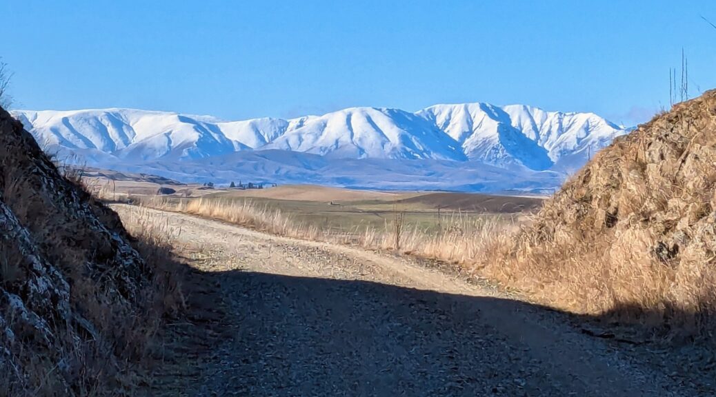
 The Rock and Pillar Range looking quite small and flat from across the Maniototo.
 Nobbler again, from the northwest.
 Past the turn-off to the comms tower, the track switched to the sunny side of the ridge – and got steeper.
 At another intersection, we cut east – the track visible more directly going to Kye Burn. Mt Kyeburn on left, St Marys Range in background.
 Past Tania to Naseby Forest, Ida Range on right. Good fun trying to spy various mountains on the horizon.
 Bit of snow remaining on the top of the Rock and Pillars.
 Fairly typical surface; higher up it got a bit muddy as things thawed, thankfully not too sticky. Ida Range and Mt Kyeburn.
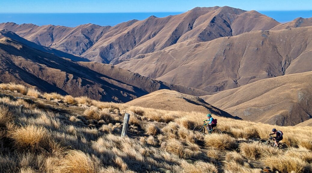
 Around 1300 m, we got into the ups and downs of ridge riding. Fun descents (pleased to have big tyres, suspension and a dropper) and pushes up the other side.
 Thanks Orlaith for the photo.
Too busy looking at the route up Mt Nobbler, I blew right past the place to stop and walk up to the named summit. But never mind, there was another equally high point to pause and eat my sandwich at.
 Waiting for the descent.
 Not a bad spot for lunch, another of Orlaith’s pics.
 Yup, definite track going up Nobbler.
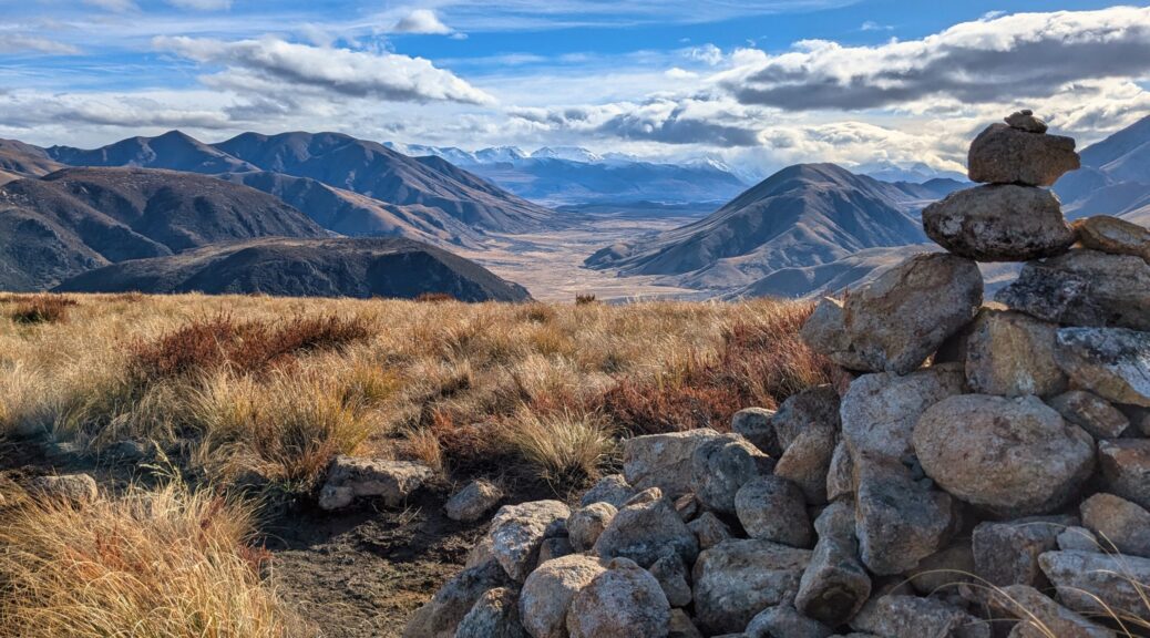
 As always, looking at other possible routes. Down Maerewhenua Spur looks like fun! Pacific on the horizon, what a day.
 Big, open, forgiving descents began in small doses – yay for having hauled that bike up.
 A few patches of snow in the shade, the last of the ridge riding – we began the descent just before that tower, diving off to the left.
Much fun dropping to the road over a couple of kilometres, rough enough to be exciting, not so rough to slow things down.
 Not a view of Danseys Pass I’m used to.

Closing the thirty kilometre loop on gravel road would have been a much quicker affair, but for the excellent pub halfway down. A great half-day outing making the most of a short, spectacular winter day. Scheming for longer trips over longer days well advanced.
 Leaving Oturehua, looking back to Hawkdun Range.
 Thankfully the trail remained frozen and solid longer than the cross roads. Old Man Range in distance.
 Bumping over the Poolburn Viaduct.
 Out of the second Poolburn tunnel – the curved one that you almost need a light for.
 Over the Manuherikia Valley to the St Bathans and Hawkdun Ranges.
 Dunstan Range, Dunstan Peak and St Bathans Range.
 Crossing the Manuherikia, more of the Dunstan Range.
 Trail thawing and getting slower, close to lunch.
 Returning, strangely enough – more of the same mountains.
 Ida Range back into view.


 Looking south once out of the short bush ascent.
 With some of the party not starting as early as the families and others, we had plenty of time to stop for a long lunch in the sun. The return trip would have us up there, and coming down that face on the right.
 The two youngest of the six children were determined to reach the hut first, so that kept them motivated!
 Looking up the West Stour to the Arrowsmith Range.
 More of the return trip – up from the left across to the Bus Stop and exit stage-right.
 More time to stop and admire the views west.
 North to the Winterslow Range.
 Wasn’t long before we were looking down to Woolshed Creek and its hut.
 It’s emeraldish.
 Plenty of ice around.
 Certainly enough to throw onto the opposite bank.
 First, trip trapping over Woolshed Creek.
 Out of the bush again and looking southwest.
 Snaking our way up, hut down yonder.
 At the so-called Bus Stop, our lunch spot found just beyond.


 Hooge and Orlaith setting off besides Nobbler Stream, Mt Nobbler ahead.
 The Rock and Pillar Range looking quite small and flat from across the Maniototo.
 Nobbler again, from the northwest.
 Past the turn-off to the comms tower, the track switched to the sunny side of the ridge – and got steeper.
 At another intersection, we cut east – the track visible more directly going to Kye Burn.
  Past Tania to Naseby Forest, Ida Range on right. Good fun trying to spy various mountains on the horizon.
 Bit of snow remaining on the top of the Rock and Pillars.
 Fairly typical surface; higher up it got a bit muddy as things thawed, thankfully not too sticky. Ida Range and Mt Kyeburn.
 Around 1300 m, we got into the ups and downs of ridge riding. Fun descents (pleased to have big tyres, suspension and a dropper) and pushes up the other side.
 Thanks Orlaith for the photo.
 Waiting for the descent.
 Not a bad spot for lunch, another of Orlaith’s pics.
 Yup, definite track going up Nobbler.
 As always, looking at other possible routes. Down Maerewhenua Spur looks like fun! Pacific on the horizon, what a day.
 Big, open, forgiving descents began in small doses – yay for having hauled that bike up.
 A few patches of snow in the shade, the last of the ridge riding – we began the descent just before that tower, diving off to the left.
 Not a view of Danseys Pass I’m used to.

 Heading up there somewhere; I know now the hut is on the ridge on the right, the summit the left.
 Browning Range to the south.
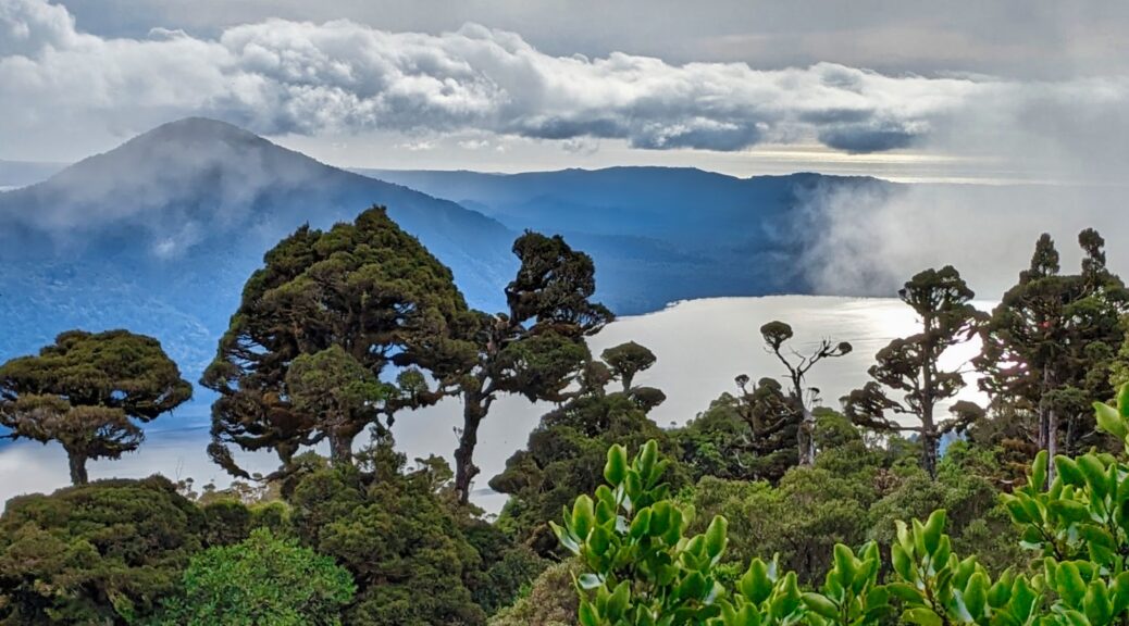
 Lake Kaniere to the northwest.
 Opening up now, damp underfoot, clouds starting to blow through. Summit is centre of the three peaks on right side.
 Yip, it’s a picturesque hut and setting.
 A peek, and indeed peak, of the Southern Alps to the southwest.
 Not a marked track, it was easy enough to navigate along the ridge as it dropped off steeper on each side.
  Spot the hut, certainly can’t see Lake Kaniere any longer. Also spot me, lagging behind.
  This isn’t so good for the summit views.
 Thankfully things cleared a bit as we reached the top, enough anyway to look up the Styx valley.
 Someone stayed still long enough for a photo!
 About the biggest look at the lake from the bush that I got.