With two people independently suggesting I alter the start of HBAT through a farm to a long stretch of gravel, I was certainly going to take a look. Andrew and I drove south through a frosty Sunday dawn to the south of Hawke’s Bay, leaving the car at a country school where it definitely had not warmed up.
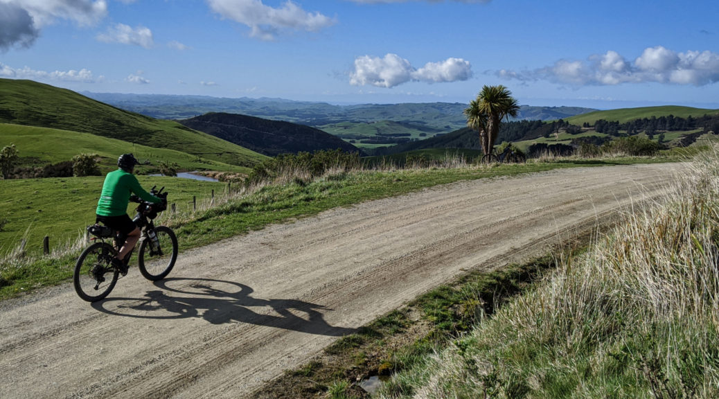
Lumpy to start with, I was soon hoping for the climbs as whizzing down was decidedly chilly. Gravel appeared and we rode through a small herd grazing the verges – while now green, there’s still not a lot of feed around. Chatting to the farmer watching his stock, in what became a familiar routine, a few minutes in Andrew was recognised – despite having left the area fifty years ago. It was a very chatty day as everyone we met seemed to have some connection to my riding buddy.

 Getting a bit higher, looking north.


Finally the climbing started in earnest and I began to warm; another dip must have been steep, making use of what I now know in some parts is called “traction seal”. Strange to have a name for those short patches of tarseal that appear on steep parts of gravel roads in the middle of nowhere. More farmers to chat to (no, I’ve not seen your lost heading dog – worth as much as my bike) including the one who was generously giving us access, and with no concerns of routing HBAT, through his land. Climb, climb and a little more; onto the farm track, pleasingly dry, a steeper gradient and then over the watershed to bomb past the airstrip.
 Andrew heading for the airstrip; obviously a windy place, the breeze was light.
Through to Te Uri Rd, the sealed section was short before we reached the charming community hall and more gravel winding flatly and pleasantly for a few kilometres. That didn’t last as we rose towards the watershed again and headed back into Hawke’s Bay. The section through pine forest had been devoid of sun for some time and was sloppy, giving my bike and me a nice splatter effect for the small price of slightly less efficient pedalling.
Out in farmland again, the view opened up and we stole our first glance of the Pacific for the day.
 The climbing continued a while longer.

Nearing the thirty kilometre mark, we’d already managed a thousand metres of climbing – and not too unpleasant it was either at a steady pace with plenty of rests. This paid off with twenty kilometres down, steep at first to get to the plains and more gradual as we followed the watercourses towards lunch. Getting closer to places Andrew’s family had more direct association with, ideas for looping further south and back north abounded – hopefully only a few weeks before those are explored.
 Mangaorapa valley – we’d drop down and ride right to left, before following the Porangahau River through towards that glimpse of ocean.
Refuelling as ever at the wonderful Flotsam & Jetsam coffee cart (horse float really; I’m told the coffee is top-notch, but I’m taken by the home baking), was another opportunity for yarns in the sun of old times and old families of the area. Families of eighteen and twenty-one children!
Scouting of new routes done, we were to return to the car following some of last year’s route in reverse. It was perhaps a bit mad riding up the very hill that hair-raisingly dumped riders right into town – Andrew’s chain thought so as one of the side plates broke in two. That fixed, we were left to spin for half an hour to the ridge. I was going to leave this reverse bit out for the more sensible coastal and flat option; but no way, perish the though, the ridge riding and views were sublime. What’s another hill amongst all the others?
 Dropping off the ridge, the gravel stretches and stretches.
Enough of Route 52 done, I saw my first newborn lambs of the year. I was a little perplexed by Andrew stopping behind me and running off into a field; turning and catching up, we were off for a bikepacking first more me – turning a sheep. I now know that ewes with multiple pregnancies can sometimes struggle to get back on their feet from lying down – and perish overnight. Sheep and multiple lambs saved, until next time it lies down in the sun, it wasn’t far back to the car – past dozens more newborn lambs out in the warm afternoon sun.
A stunner of a day, and that suggested route is definitely going in HBAT – it was fantastic. More remote, plenty of hills and rural views. In a sudden moment of inspiration, a scheme to change the start point struck me – more things to organise and ways to optimise this year’s route… A big thanks to Andrew for the contacts, riding company and chat; much kudos too – if I’m still riding up these sorts of hills when I’m knocking twice my current age, I’ll be well pleased and fortunate to be in such health.

 It was probably warmer among the mob of sheep waiting to lose their fleeces. Until they lost their fleeces.


 Poverty Bay with Gisborne on the left, and Young Nicks Head in the centre.
 As the sun sunk, I was pleased to find myself riding with this guy again.
 Off the ridge line, the mud lessened markedly and riding down the track quickened.
 Close to the coast now, looking north of Gisborne.
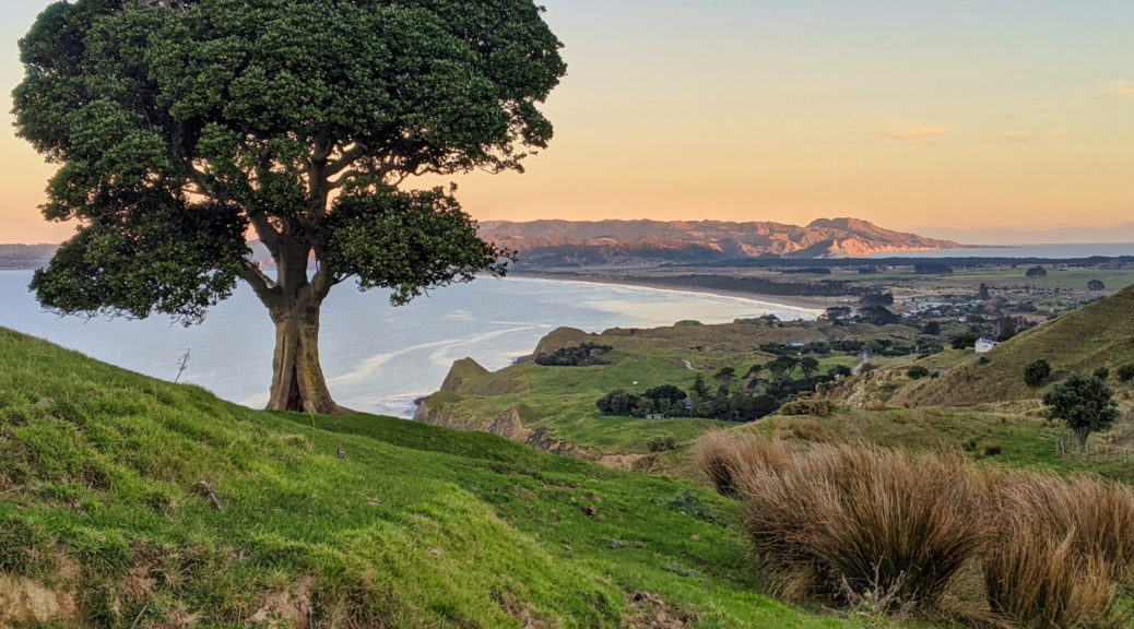
 Dropping down to Mahanga as the sun sets on Mahia Peninsula – I was pretty sure I’d make it across the isthmus just before dark.


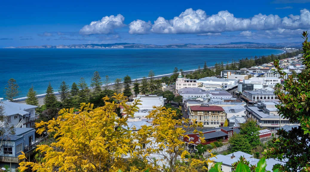
 Cape Kidnappers from the end of my street.
 Guess I won’t be downtown for
 Those three houses always catch my eye from afar.
 Looking back towards my little corner of the hill.
 There’s still a little bit of work for these tugs…
 The cliffs I was on top of last week above the container ship.
 Go get it!
 Got it.
 Over Ahuriri fuel storage, the estuary, and Poraiti towards the Kaweka Ranges.
 Those cliffs.
 A touch of the old sawtooth warehouses.
 Indeed.
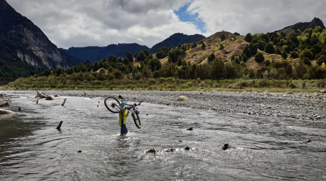
 There was actually some rain overnight, odd to see a wet road – it kept the dust away and only slowed us slightly.
 This feels like it should be the top, but it’s not.
 Looking forward even more so to finding what’s at the end of the road – rather than turning onto Waitara Rd as on
 There I go, looking even smaller than is usual.
 A brief level section for the final plunge to the Mohaka.
 Heading into the valley which would take us an hour to traverse from left to right and climb out of. The Mohaka running across the shot from left to centre, the Te Hoe joining it from the background. We were due to climb that grassy face in the middle-distance, far right of shot.
 It really was looking a steep climb away from the Te Hoe.
 Crossing the Mohaka, looking west and upstream.
 Down on the river flats, the track was gone.
 Beyond the foliage, we could easily spy the dozer track that we were to take up the face.

 Ian led us across a bog and towards the steepness.
 Te Kooti’s Lookout just right of centre.
 West up the Mohaka.
  My game of “how far away is Panekiri?” continued – a bit further away this time.
 Pausing at the Willowflat bridge, the river was low and we marvelled at the size of some of the boulders deposited in the flow.
 Looking over towards the early part of the route.
 Also, must get back to Ridgemount…