This year the Kiwi Brevet is a 1150 kilometre clockwise loop (over 700 miles) on a mountain bike (for most) around the top half of the South Island in less than eight days. I’m not sure if I signed up for this because I was riding so much, or I thought it would be good motivation to ride a lot over the NZ summer – or maybe I’d temporarily lost my mind. Either way, my bike is loaded up and I’m my way to the start in Blenheim. At the very least, I’ll get to see a lot of beautiful backcountry in a part of NZ that I’ve spent very little time.
This event draws its inspiration from the legendary and epic Tour Divide race in North America (basically a self-supported race following the Continental Divide from Banff, Alberta, to the USA-Mexico border at Antelope Wells, New Mexico, which is over 4400 km long and has over sixty-thousand metres of climbing!). The Kiwi Brevet is a lot tamer – with nowhere near as much climbing; a distinct lack of bears, mountain lions, aggressive packs of dogs, snakes; shorter distances between supply points; little chance of snow and so on. As such, the odd person uses the Kiwi Brevet as a stepping stone to the Tour Divide – still a vague possibility for me if I don’t completely hate the experience and fail to find a suitable job in the coming months…
By no means a competitive racer and really just along for the experience, I’ve not gone all out in trying to lighten the load on my bike by buying expensive new things (not having a job probably pays a part too). In fact, I don’t think I’ve bought anything new and my set-up is pretty similar in the two following photos taken ten months apart. Of course, it’ll cost me a bit of time and probably a lot of energy, especially the ever-reliable (so far) but large & slow tyres – but so be it.
 Taken near Portsmouth March 2014 on my first solo overnight bikepacking trip.
 All ready for the Kiwi Brevet; the only small changes I can see are an extra bottle & cage, a better pump, the upgraded (under warranty) k-lite dynamo powered light and no mudguards.
The self-supported part of the event means that you can only use what you carry on your own bike (or person I suppose – I’m not taking a backpack) and that which is available to all competitors. So you can carry camping equipment and camp or stay in hotels, motels, B&Bs (or a mix, of course) – but you can’t arrange to stay with friends, for instance. Similarly with food – you can eat what you carry and you can buy food at shops, restaurants, gas stations etc; but you can’t stop in at a friend’s house for a feed, be followed by a car with people giving you food or use food caches. There are few rules, it is rather low-key event (but with still a lot of organisation done by Scott & Jo) – in fact, I can’t even find the rules any more. I do remember reading that one rule is that you must have at least five hours of rest a night (that is not part of the Tour Divide rules) – I don’t think I’m going to come close to breaking that one. Needing to ride about 150 km per day, sleep had better not be a problem.
Here’s the map of the whole course – I’ve put a small amount of time into thinking where I might eat & sleep each night. Only the first night will be in the wilderness, I hope, as we will be in Molesworth Station after 150 km – which I think will be about my limit each day. The GPS file indicates just over nine thousand metres of climbing for the whole course – I’m somewhat skeptical of this, it doesn’t seem very much. It averages out at less than eight metres of climbing per kilometre – most of my rides recently have been more than this, some up to six times more. So I expect a whole lot more climbing than this (on my Garmin) – considering we’re crossing the Southern Alps and all.
So basically I’m going for a long eight day bike ride and don’t really know what I’m getting myself in for. If so inclined, you should be able to follow my progress (we’re all going to be carrying SPOT trackers) on the Map page of this site, or for the blue-dot-watchers: can follow the whole field here. Here’s hoping I make it around OK in less than the allotted time – after all, I have a Picton to Wellington ferry to catch afterwards so I can spend a week visiting good friends and family in and around Wellington (and maybe I’ll still want to ride my bike too).


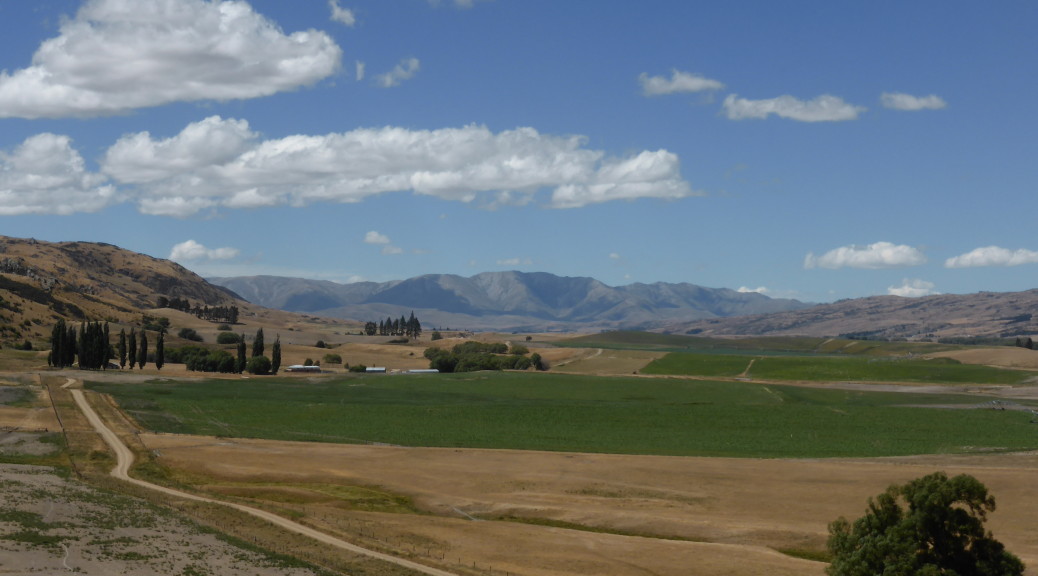
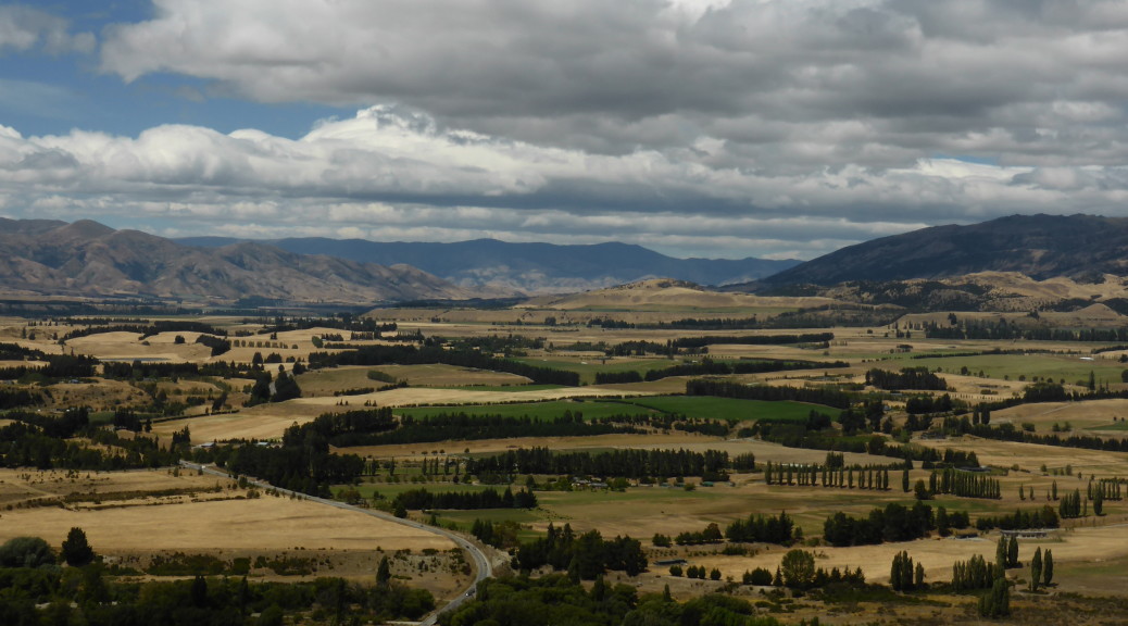
 Down in the Nenthorn Valley, I remembered to snap a few pictures.
 Back up on the ridge again before the gravel road ends for the big descent down into Middlemarch.
 And very peaceful it was too with the Taieri River slowly flowing past.
 The clouds later tried valiantly to break the drought, but not much came of that. But the wind did change in the night to a NWer – with my tent buffeted strongly by that, I didn’t sleep much.
 Things seemed a little calmer as I packed up and got back up to the trail – as you can see it’s very well graded and easy riding, or so I thought.
 The Poolburn Viaduct is the highest on the trail and the following Poolburn Gorge with its two tunnels make it one of the most interesting parts of the trail.


 The remains of a dredge that sunk in 1912 – it got over 3300 ounces of gold out of the riverbed between 1902 and 1906.
 Looking west over Lake Wanaka to Mt Aspiring National Park.
 South up the Coronet Valley.
 East over the lower reaches of the Coronet River – it then flows into the Clutha just after that flows out of Lake Wanaka & is then joined by the Hawea River.


 The rain started shortly before Beaumont, so the camera stayed squirreled away for the rest of the day.
 We started with a short boat trip out of the Otago Harbour into the Pacific to see the wildlife around Taiaroa Head.
 Strangely, this little blue penguin was not that shy – we watched it swim around in front of the boat for quite some time.
 There were plenty of fur seals lounging on the rocks in the sun – once hunted almost to extinction for their skins, they’re doing much better now having been a protected species for over a hundred years.
 Taiaroa Head is famous for having the only mainland breeding colony of royal albatross. At this time of the year, the breeding pairs are taking it in three to four day turns to incubate the large egg while the other is out at sea fishing. We saw many birds sitting on nests and this one spread its huge wings (on average they have a three metre wingspan) and soar off into the wind. Majestic.
 After starting off on the Southern Scenic Route following the coast for a while, we stopped overnight in Balclutha.
 The south of the South Island has been rather treacherous for shipping over the years – so we did see quite a few lighthouses. This one at Nugget Point.
 More fur seals here; you can see how the coast could be problematic for any wayward ships.
 At Surat Bay we could get pretty close to the world’s rarest sea lion – but not too close as weighing up to five hundred kilograms, they can get aggressive.
 At Jack’s Bay, down another long gravelled road, we stopped to look at a large blowhole two hundred metres inland from the sea.
 While it was an awful big hole in ground with the sea rushing in – I don’t think the tide was quite right to create the proper blowhole effect. Still, it was a nice coastal walk.
 More gravel back-roads, and a short walk later we were at Purakaunui Falls – apparently some of the most photographed waterfalls in the world. Not particularly large, they are multi-tiered and quite pretty.
 The McLean Falls were more impressive, at twenty-two metres high.

 At Curio Bay we unsuccessfully tried to spot Hector’s dolphins playing in the surf. I stayed here with my family
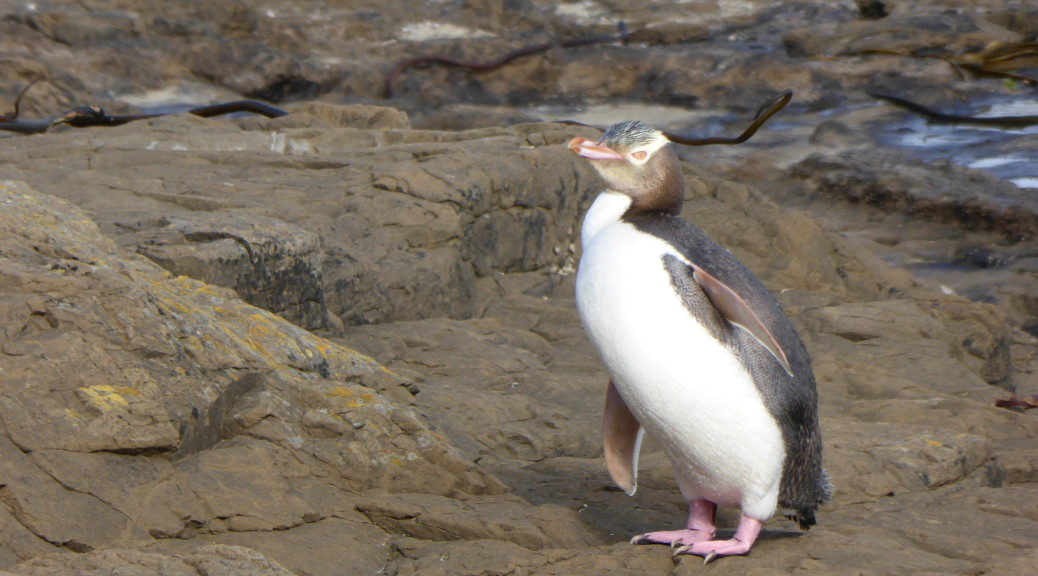
  But around the corner at the petrified forest, we did see a few yellow-eyed penguins – including this one coming out of the sea and heading to its nest at the end of the day.

 Late in the day, we popped down to the southern most point of the South Island and tried our best not to fall off the cliff into a certain abyss.
 Somehow, we found somewhere to stay in the tiny settlement of Tokanui.
 After eventually finding some fuel in Invercargill (while I expected difficulty in finding a gas station in rural Southland, the dearth of gas stations in southern Invercargill was ridiculous) we headed out to Bluff and the end of State Highway 1 (it runs the length of the country).
 Beautiful pohutakawa blossom.
 West of Invercargill we headed out to Oreti Beach to have a very pleasant picnic lunch in the sun. You’re still able to drive down the beach – the scene of some of Burt Monro’s motorcycle exploits that gained more recognition in the film The World’s Fastest Indian.
 On a wonderful summer’s day I was quite impressed with Invercargill – people that have lived there tell me it doesn’t deserve its reputation. But it is awfully flat there and a long way from anywhere & I’m not sure I could handle that.
 At Gemstone Bay, the stunning beaches just kept coming – but the sea had taken any gemstones away.
 Further around the coast, it started to get a bit more wild.
 Another, once-typical, South Island crib (a holiday house, not particularly salubrious).
 Tuatapere was a lot bigger than I remember from twenty years ago – we struck it in the middle of haymaking season with countless tractors and hay-wagons trundling past.
 This is a what a thousand-year tree looks like apparently – always difficult to capture the grandeur of such in a closely packed forest.
 After even more gravel road driving, we were in NZ’s largest National Park (Fiordland) looking across NZ’s deepest lake – Lake Hauroko, 462 metres deep. Suddenly, after the plains and small hills of Southland, there were mountains and the wilderness was starting to look inviting. While home to some of NZ’s Great Walks, unfortunately I don’t think there is much biking in the that particular wilderness.
 We stopped to look at the Clifden Suspension Bridge – once it was NZ’s longest bridge; now that many years have passed and the Manapouri hydro power station has taken a lot of the Waiau River’s flow – it really does seem a big bridge in the middle of nowhere.

 Now, there’s a house I could probably afford.
 Last stop on our little tourist trail was some exploring in the Clifden limestone caves; we then hightailed it for home, scooting across Southland and Otago.