Category Archives: snow

Telluride & some riding out of Dolores

Not wanting to spend two consecutive days looking at ancient holes in the ground & so on, we went for the suggestion of a nice drive to somewhere “starting with T with a gondola up from town” – at least, that is what Valerie described it as.  I went for Telluride, about a seventy-mile drive north east of Cortez, mostly following the Dolores River – this worked well, as I wanted to ride at Dolores in the afternoon.

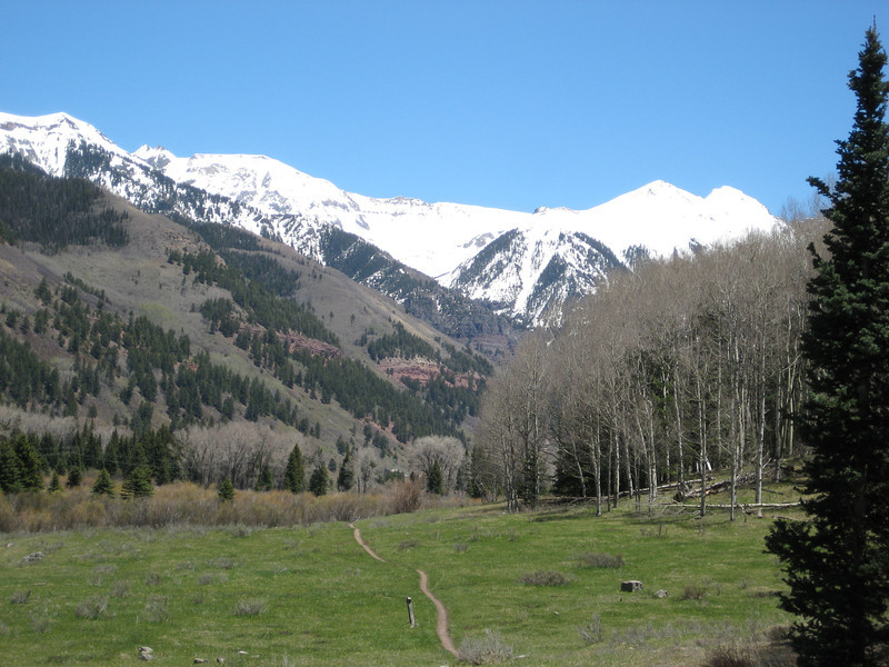
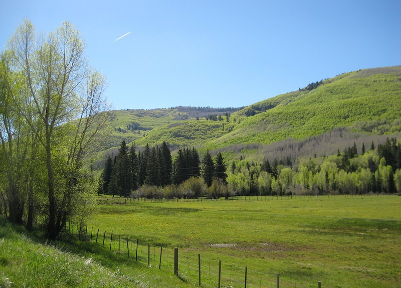
The mid-morning drive up the valley was just stunning with the sun really bringing out the contrast between the dark green ponderosa pines & the bright yellow-green of the deciduous trees lining the valley above the fast flowing river.
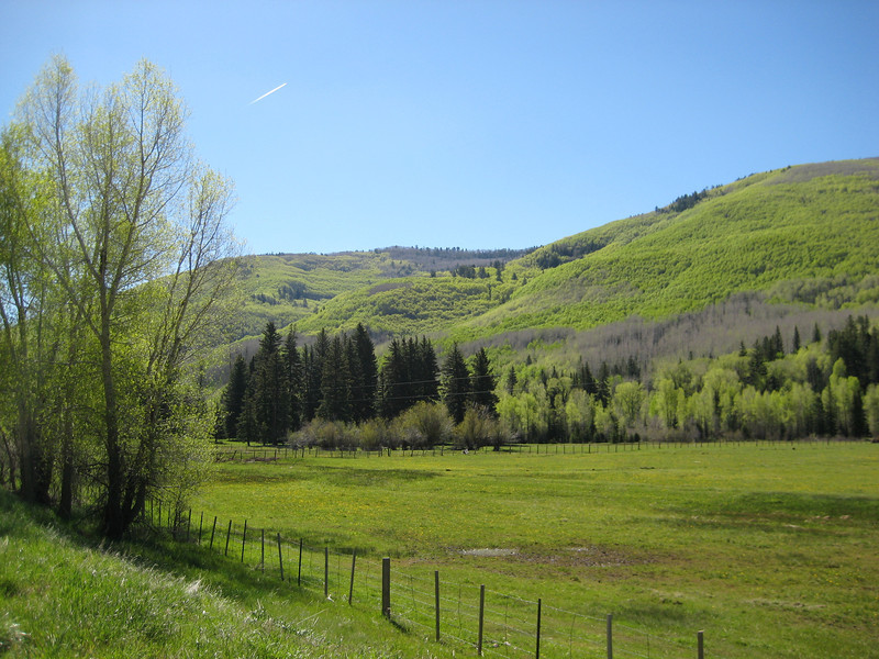
We climbed up to over 3100m/10000ft to get over Lizard Head Pass & then down to Telluride. I didn’t know too much about the town, except it was once a big mining town & is now a big ski resort/mountain town (sounds vaguely familiar).

Apparently their winter is holding on a bit, with two feet of snow a fortnight ago – but today was a stunner & I was excited to learn there are bike trails at the top of the (free) gondola that runs up to another little town (Mountain Village – possibly the least imaginative name in Colorado, what a shocker) & most of the ski lifts.
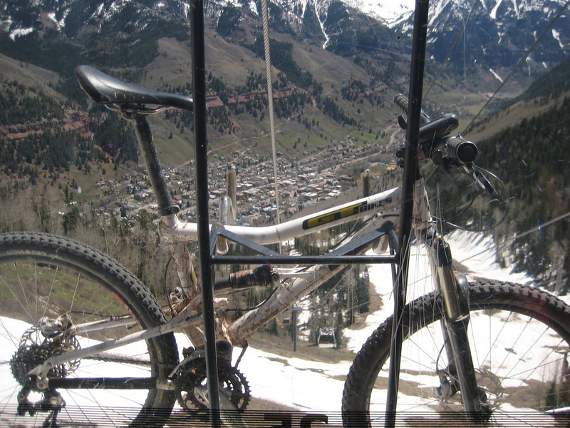
My bike got its first ride on a gondola – been on plenty of chairlifts.  That’s Telluride down there.

Alas, the visitor center was wrong – the bike trails were closed due to too much snow. So we made up for it with a very pleasant ride along the San Miguel River that runs through town. There is a Mountain Film festival on this long weekend, so town had a lot of life to it. We didn’t have long, but I really liked Telluride – looks expensive though, Valerie saw one 5 bedroom, 7 bath house priced at a cool nine million.
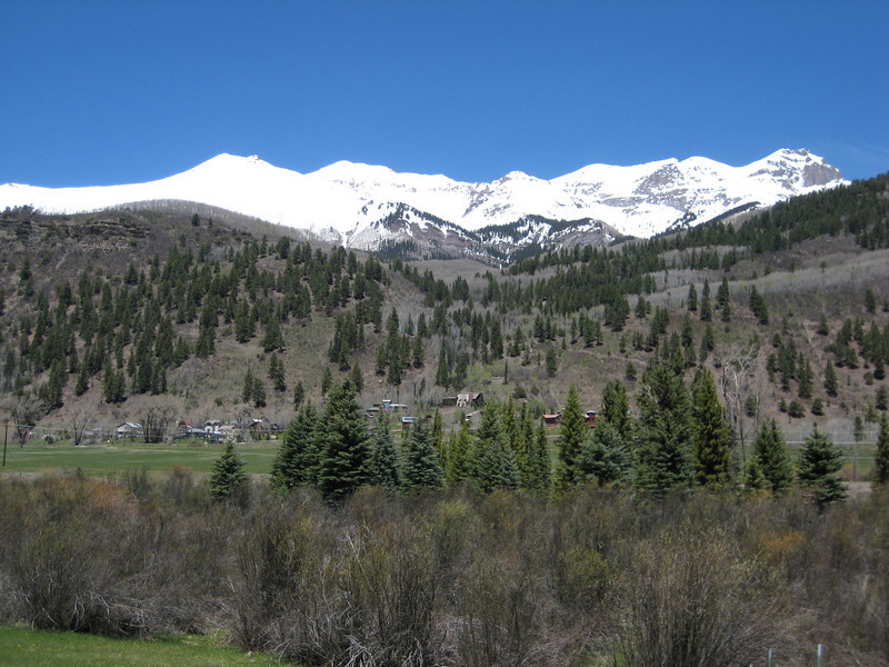
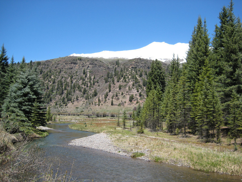
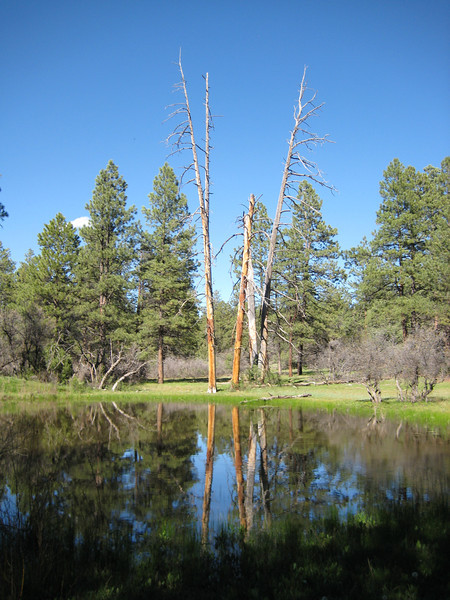
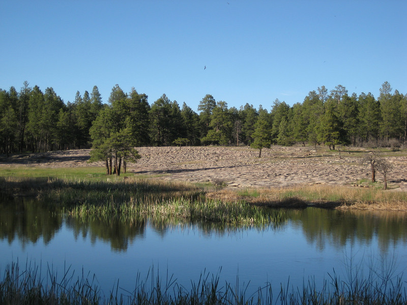
The drive back down the valley was just as pretty & I was riding by four o’clock. With four loops to choose from, I went for the longest & hardest option – to make sure I got my money’s (not that I had to pay anything) worth. The riding was mostly at 2300m around a mesa top in more pine forest – it was nice to be riding in trees again. I’m not sure there was anything advanced about this intermediate-advanced level trail & the trail obviously wasn’t as well designed as yesterday’s ride at Phil’s World. Since when is routing the trail down the middle of a creek a valid trailbuilding option? Occasionally there was a little bit of interest, but mostly it was pretty hohum – the surface was often rutted out by bike tires or six-inch deep horse hoof holes. Still, I got a fair bit of climbing in & time on the bike is time on the bike – I may be getting a little fitter as I did the first loop (2-4 hours) in 1.40 then went on to the adjoining beginner loop, hoping for some views of the mountains – but was disappointed. The highlight was the beautiful grassy meadows, different summer flowers, the very loud croaking of frogs & seeing some eagles gliding around – fantastic. After over 100 km of mostly singletrack riding in three days, I might have a day off the bike tomorrow as we go to Four Corners & Monument Valley.
Scottsbluff, first ride & Rocky Mtn NP (more snow)

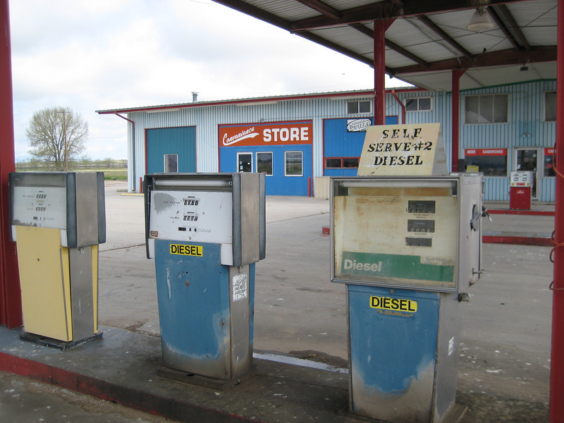
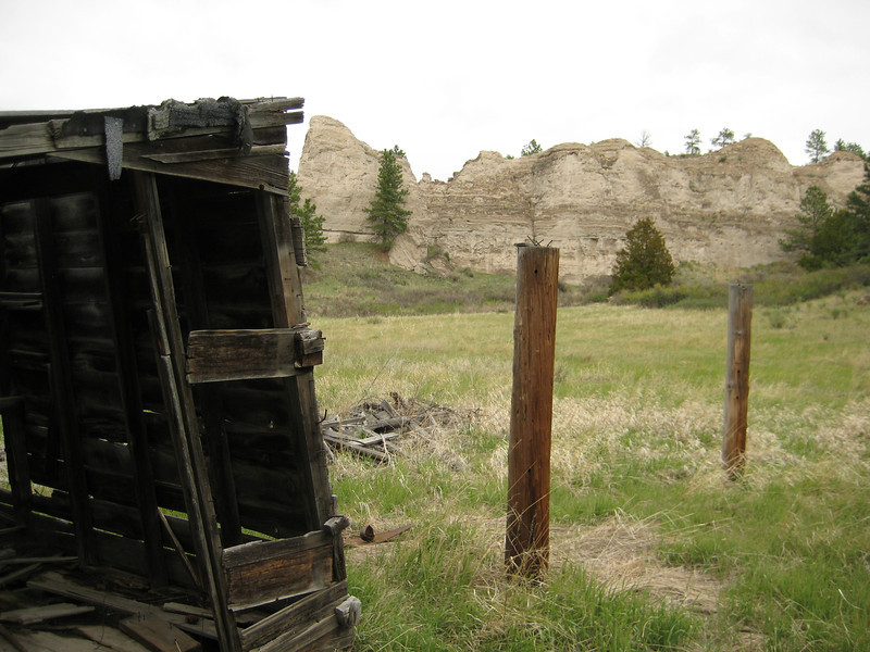
We got away from Alliance nice & early & headed for Scottsbluff, as I’d heard there was some biking nearby.  Previously, I couldn’t work out the references to Alliance being the heart of the Sand Hills as everything was flat.  Quickly we found the big sand dunes, they were covered in beach grasses & I was sure we should have been on the coast, not thousands of miles inland.  I saw something I haven’t seen for many months – a dairy farm with real dairy cows!  They still looked to be wintering & feeding close to the shed, nonetheless I’m claiming it.  With time to spare, we could afford to stop & look at random abandoned things.  The old motel is a steal – it’s got new-fangled electric heating after all.

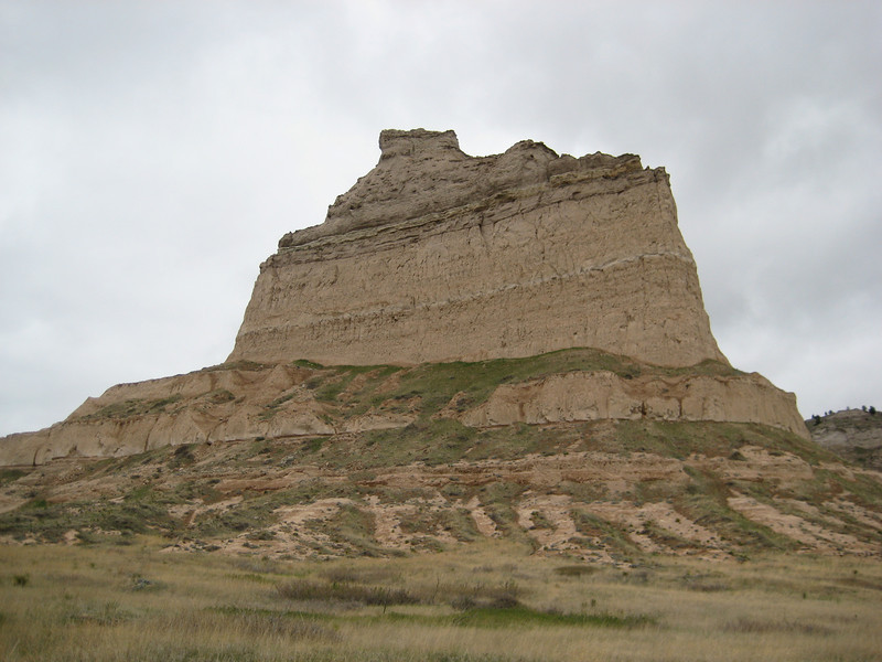
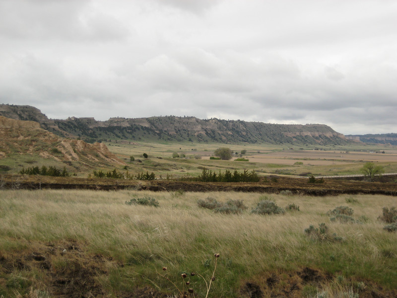
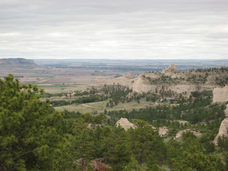
Bypassing the town unintentionally, we headed for Scottsbluff National Monument – having no idea what it was, apart from some impressive looking bluffs.  As it turned out, this area was an important part of the Oregon Trail (not the computer game, the real deal).  Scottsbluff & the Mitchell Pass through it were about a third of the way into the trail from Missouri & marked the end of the so-called Great American Desert.  It must have been quite something to make it there after two or three months & realise there was still so much further to go.  We spent a little time in the Visitor Center learning a bit, then walked on the trail a while (it was muddy enough in places to walk over, must’ve been awful out of summer with a wagon) & then drove to the top for some good views.

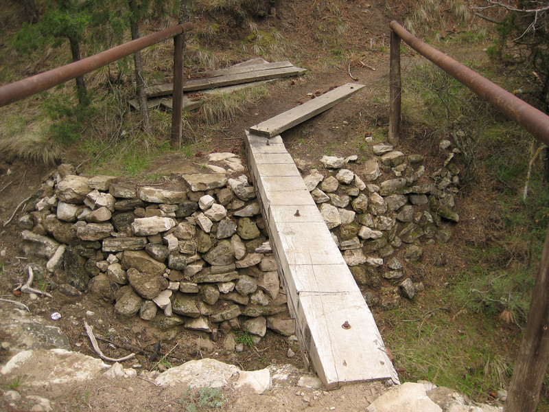
The trailhead was not much of a drive from the Oregon Trail (although I’m not sure that those are related, I can’t imagine pioneers heading up into the Wildcat Hills to hit some singletrack). I’d only read brief details of this ride on a forum & knew it wasn’t that long & was on our path – perfect for my first ride of the summer (without a trace of snow, that is). It was still quite cool, but dry – my lungs didn’t appreciate the chill, but we got up the hill eventually. There wasn’t a lot of signage so I just went all over the place exploring – it was so good to be back on the bike. Most of the climbing wasn’t too steep & the trail was mostly wide, although there was this nasty bridge.

I did find this substantial picnic shelter that seemed over-designed for the number of people that visit it (I didn’t see a soul on my whole ride – on a Saturday afternoon).

Occasionally, I popped out of the trees & could see where I’d come from & get my bearings again.

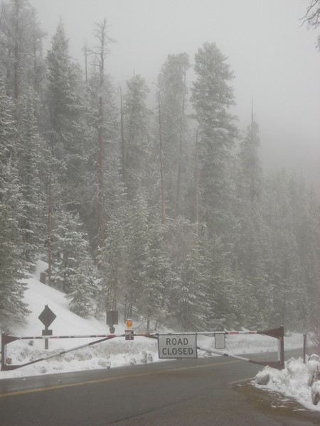
It was another couple of hours to drive to Fort Collins – in our fifth state, Colorado. Although grey night last night, it’s a very nice town – lots of lovely old houses & big old trees. I would have been tempted to stay more than one night if we were not getting so sick of rain & cold after ten days. So this morning, we headed up to Rocky Mountain National Park (a little west) to see some wildlife & drive through to Grand Junction (west CO). The drive out took us through a great skinny canyon & by the time we got to the park it was very foggy. It turned out that the road through was still closed for the season, but we went as far as we could (about 2800m) & looked at the snow, thought it was cold & turned around.

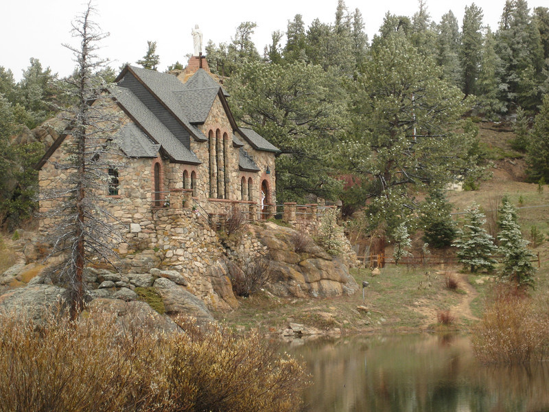
Bits of the park were nice, it was a pity we couldn’t see the great views; we didn’t see any moose or anything else interesting, just more lupins (actually didn’t see any bloody lupins), elk & bighorn sheep. Thankfully we didn’t have to backtrack much due to the road closure, just head south to I-70. The road was tortuous & still pretty high up, it was evident that they (there were lots of scattered houses forming a nice mountain community) had had quite a few inches of snow in the last day or two.

Just before the interstate we went through some very western & old looking mining towns – Black Hawk (founded during the Pikes Peak gold rush) was the most impressive (I’d be more impressed if they hadn’t banned bikes from the streets).

We were soon on I-70 & climbed steadily to cross the Continental Divide. The tunnels through the divide sit at 3400m above sea level & are 2.7km long – it was quite a tunnel that we went through. From there it was mostly downhill (& quite steeply at times too) to Grand Junction at 1400m. The scenery changed dramatically from snow covered trees, to trees & the large ski-resort town of Vail (reminded me a bit of Canmore – lots of new housing that looks like it sits empty most of the year) & then we crossed the Colorado River for the first time. For a while, we were through open valley-bottom plains & then plunged in to tight twisty canyons with very impressive rock – even saw a few climbers on crags right next to the road. By now it was getting hot & the clothes we had on for the morning’s snow & fog were too much. When we rolled in to Grand Junction almost 600km later, we realised we’d gone from close to zero to thirty degrees Celsius in five hours. It sure is nice to be in shorts, T-shirt & flip-flops/jandals.

Yellowstone & Inescapable Winter

Our last two days have been spent in Yellowstone National Park.  The drive up the Yellowstone River valley from the interstate to the park was quite interesting with plenty of snowy mountains to look at on the edge of a wide valley floor with still more irrigation.  As the valley narrowed closer to the park there were some interesting, sheer rock faces.  We got our annual park pass, which is a steal at $80 when one considers how many parks we are going to visit in the next three months.

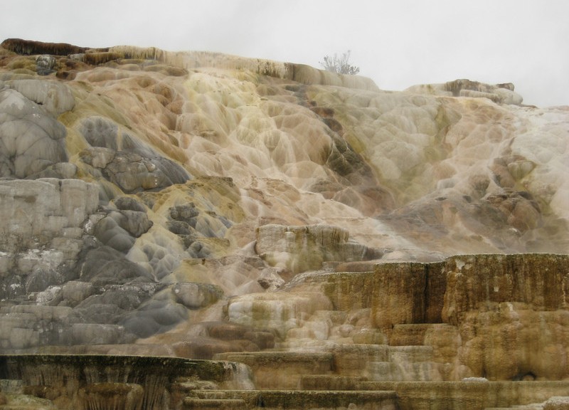
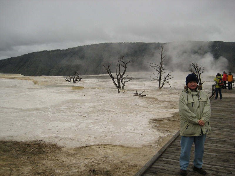
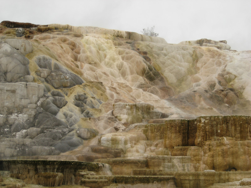
With the weather forecasters warning of a lot of snow to fall (about a foot), we were pleased with just a little light drizzle in Mammoth Hot Springs (near the northern entrance).  There was a little geothermal activity here, so we pottered around the boardwalks for an hour.  Having spent so much time in Rotorua (NZ), I wasn’t overly impressed by most of it – but there were some pretty cool little features.

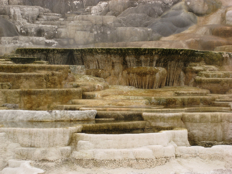
At least the slight whiffs of hydrogen sulphide reminded me of home.  This was the best of the area.

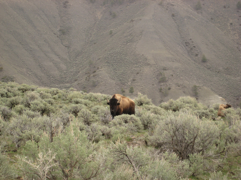
After noon we took the drive east towards the northeast entrance, as that was supposed to be the best route to take for spotting wildlife.  Bison (buffalo – same thing, with bison being the more scientific name apparently) were exceedingly easy to find.  With their big shaggy coats & rather small horns, Valerie seems to have decided that they look cuddly.  I’m not so sure about that – they can run pretty fast, jump higher than you’d expect & have been known to gore humans that aggravate them.

Still, we saw a lot of them.  Elk weren’t quite as plentiful, but having lived in Canmore I wasn’t so fussed (same goes for the bighorn sheep).  Best sighting of the afternoon was three wolves around a carcass – we watched for quite some time as two of them fought the other, the howls were impressive & intriguing to hear close up.  After crossing the river, they proceeded to walk along the other side of the road – so we continued to get a good look at them.  We saw a few grizzlies as we got further up the valley.  The first pair we got a good look at from about a hundred metres away as they meandered their way to the valley floor eating as they went.  We never quite made it to the NE gate, because as we climbed it got snowier & snowier & there was less chance of spotting any animals.

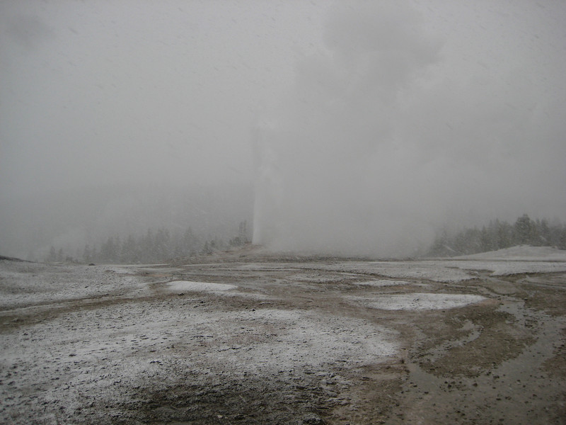
We took a different route to the park today, this time driving up the Gallatin River valley to West Yellowstone.  This valley was a lot closer in than yesterday’s, with more traffic coming from somewhere.  It was a beautiful drive, despite (or perhaps, because of) the cloud & drizzle.  Entering the park, we headed straight for Old Faithful.  About halfway there, the rain started to turn to snain (snow-rain) & then it was puking snow on us – big, wet heavy flakes.  This continued as we went in to the comprehensive & grand new Visitor Center & then quickly went back outside to the wet as Old Faithful was due to go off again in ten minutes.  We waited patiently, getting snowed on more & more, & finally the geyser blew.

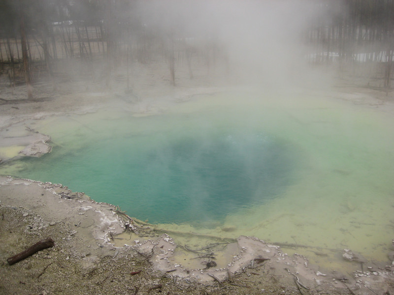
Perhaps it was the general gloom of the day, but it didn’t seem overly impressive – I’d back Pohutu in Rotorua in a fight.  Still, it was neat to see it & it’s quite incredible that it is such a regular occurrence.  I would have like to stayed up that way a bit longer to wander around some of other activity, but the snow & icy walkways were prohibitive.  We did manage to lunch opposite another small, but still interesting, geyser a little way from the masses.  Dropping altitude, we left the snow behind & went & walked around the Norris Geyser Basin.  Although we had to climb over a lot of snow where the boardwalks were too far from the warm ground, it was nice to stretch the legs.  Some of the pools were brilliant colours & this little detour was well worthwhile.

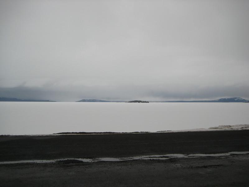
Heading east & then south we made for Yellowstone Lake.  As we climbed & went through various meadows beside the river, it was astonishing how much snow there still was.  I though it was pretty bad around the Canadian Rockies, but this was something else.  It’ll be well in to the summer before this all melts.   The highlight of this little bit was seeing two otters playing in the river & then in the snow on the bank – they were frolicking around & having a great time.  The lake is much bigger than I expected – one big white blanket.

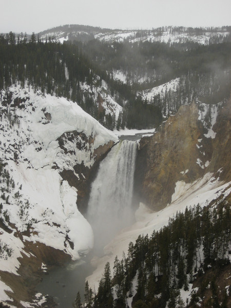
Returning towards Canyon Village, we snuck a quick look at the Lower Falls – these & the soft looking rock on the side of the canyon (running out of adjectives now – how can I keep this up for three months?) were also impressive (what a cop out).

Some of the canyon wall crumbled while we watched & fell in to the river (which I suppose is better than having your castle walls burning down & falling in to a swamp).

Distance travelled: 1100 km (two days – 419 + 681)
Best road sign (caution):  ROUGH SPOT AHEAD (now road signs give life prophecies?)

They let us in!

It didn’t dawn much brighter in Waterton Lakes on Friday, unfortunately.  That place must look stunning in the summer.

Heading out looking for a small hike, we met Dan driving the other way on the Red Rock Parkway.  Valerie was not amused by his warnings to watch for bears – “we’ve got a grizzly in a trap up in the campground, but the campground is closed; watch for others – they’re waking up & they’re hungry”.


In the end, we didn’t get much of a hike in as everything was still covered in snow, & quite deeply too.

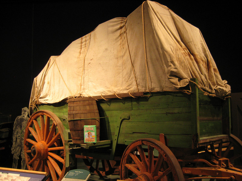
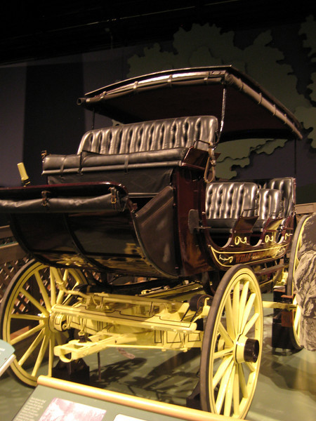
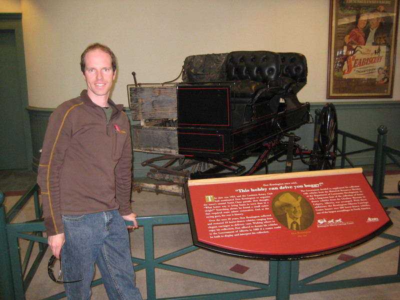
Consequently, we started our run to the border.  In the town of Carsford we got distracted by a large carriage museum.  We were told that it’s the second largest collection of carriages in the world – the biggest is in Lisbon.  It sure seemed big – I’ve never seen so many bleeding aerials, I mean carriages; there were all sorts: working wagons, cabooses, sleighs, society, fire engines, dump wagons, chuck wagons, stage coaches, sulkies & more I can’t remember the name of.

The history was fascinating – especially as a lot of it related to the settlement & pioneering of the West.  I resisted the chance for a photo in the carriage Jackie Chan used in Shanghai Noon (it was comparatively boring).  There was a restoration workshop attached & one of the old guys who worked there (reminds me of the Kauri Museum north of Auckland) delighted in showing me how they make those big wagon wheels.

A contrast showing restoration work improvement (of the carriage, I haven’t had any restoration work done).
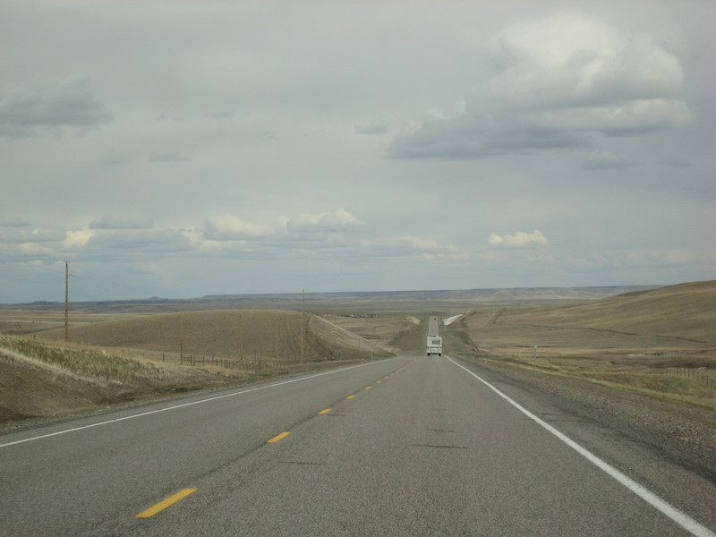
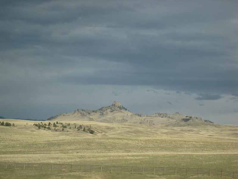
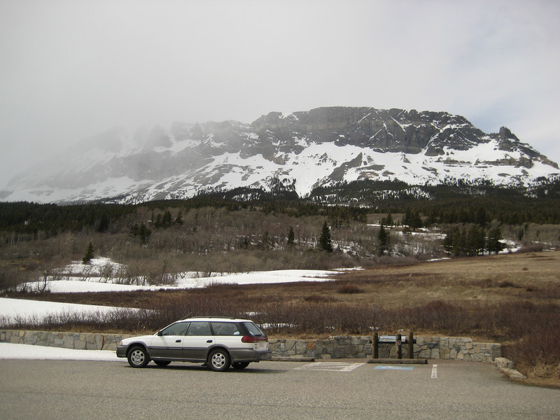
Lunch done with, it was a short hop to the 49th Parallel & the border crossing.  We did rather a lot better than the couple before who were turned around & with no hassles we filled our forms out & paid our six dollars & we were in Montana.  I had hoped to have a look around Glacier National Park, but it was just more frozen lakes & I’ve been seeing them all winter so we continued south.  The Road to the Sun, when it opens for summer, sounds amazing.  Highway 89 continued south through stunted & sparse forest climbing & winding up & through some of the largest snow banks I’ve seen all winter.  There was a noticeable change in prosperity from Alberta – it seemed that to live in NW Montana you had to have a hodgepodge of trailers littered with at least half a dozen old cars & pickups in various states of disrepair.

Gassed up (somehow managed to have someone else pay for a few gallons) we decided to push on to Helena for the night.  As we left it, we realized we’d been in a reservation & once out of it, the farmland started to look more intensive.  I was surprised to see a lot of irrigators, particularly large centre pivots.  We definitely were in the Big Sky State as we chewed up the miles (yes, I’ve had to start reading the inside dial on the speedometer).

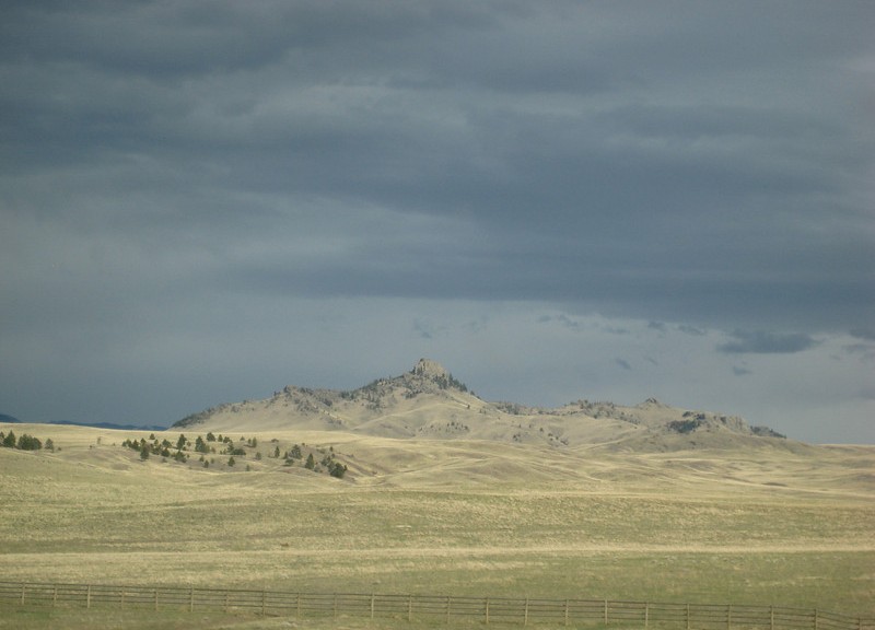
Just before the Interstate (I-15) we went through a neat canyon, with the sun shining on the foreground & an ominous black clouding the horizon it was spectacular.

I think I’m on to my tenth state now & I’m pretty sure Helena is the first state capital I’ve been to.  We haven’t seen much so far except the inside of a motel room & a diner.  Hopefully we can have a little look around this morning before pushing on towards Yellowstone.  The diner last night was very much a Ma & Pa operation – it was packed & the food was simple with large portions.  To borrow a unit from Megan, flaginess was at a very high level – you couldn’t find a square metre of wall without some representation of red, white & blue (& those colours weren’t arranged in the way of the rather boring New Zealand flag).

On a side note, Montana has some great county names:  Fergus, Petroleum, Musselshell, Carbon, Treasure, Lewis & Clark, Rosebud (my ol’ son), Sweet Grass, & Beaverhead are noteworthy.

Distance Traveled: 492 km
Gas Price: 377.9
Best Meal: Finger Steaks (turned out to be wiener schnitzel)