Category Archives: travel

Boeing Factory

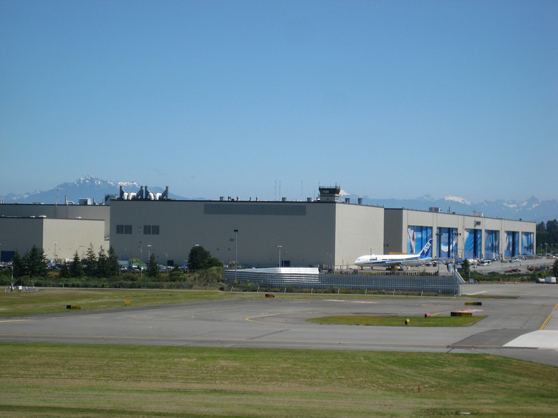
One of the few things I knew about Seattle before visiting was that the world’s largest volume building (13.4 million cubic metres on a 40 hectare footprint) was around. That alone was enough to go & visit the Boeing assembly plant, but with my interest in manufacturing it was a must – plus planes are just cool. Unsurprisingly, no cameras are allowed on the tour so you’ll just have to believe me that it is a big facility. We saw the assembly lines for the 747, 777 & 787 Dreamliner from high up above the floor. Naturally there were a whole lot of workstations, but being a Saturday backshift there wasn’t a lot of activity. The group wasn’t too big & the guide very informative – & clearly loving her job. Back at the Visitor Center it was great to get outside, enjoy the sun & watch a couple of WWII warbirds fly past twice. There was easily a few billion dollars of planes sitting around too.
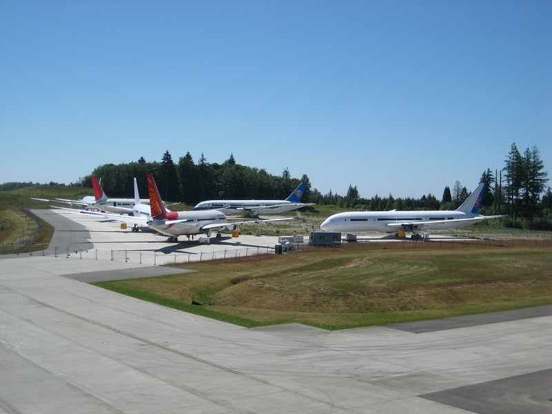
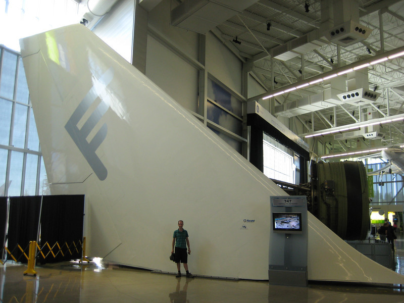
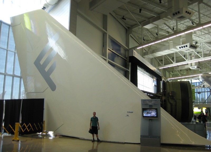
A 747 tail

Traveling north we made another brief detour to Burlington (finally found the B in BNSF) to hunt down a dog-bone for my bike – they didn’t have one but I ended up with a pannier brace to hopefully do the job. With thirteen states, seventy-nine days & over 20000 km (12500 miles) of driving, almost 1000 km of mountain-biking over 80 hours we left the States & they let us back in to Canada. What a fantastic time we’ve had & every day we still see little things around that remind us just how much we’ve seen around the west-USA.  Not to mention all the fantastic riding I’ve done in some really great places.  If I was ever back for any length of time I think I’d spend a lot of time riding in Colorado, Wyoming, Idaho & Oregon.

We eventually met Karin near a beach (it was the first sunny day in Vancouver in months) to grab the keys to let ourselves in to her & Adam’s apartment. Very blessed to be staying in a home for a while, for the second time in the trip & also within a week.
Seattle

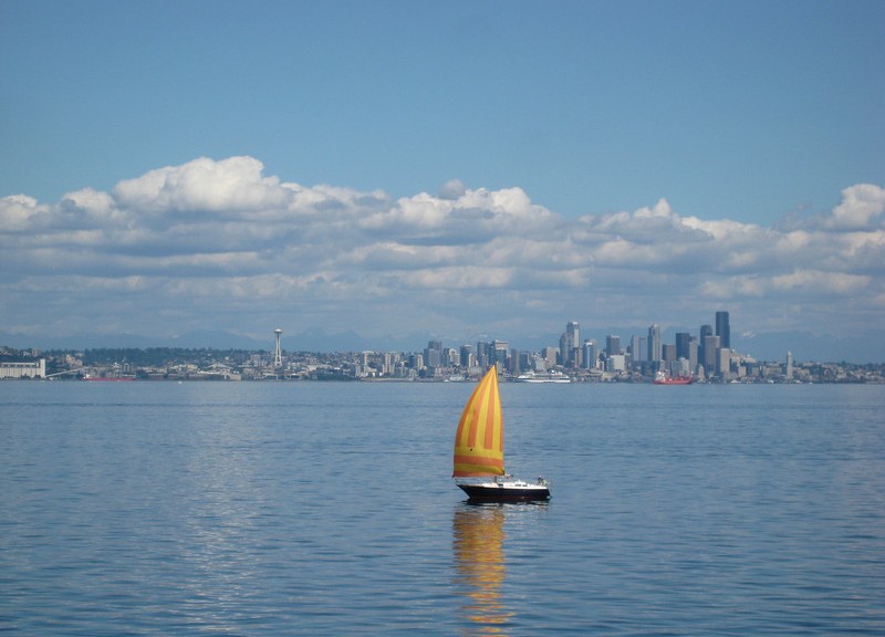
For a city know for its rain & only having two seasons, winter & August, we were lucky to have an absolutely stunning day on Friday exploring what is a very nice city in the sun (but then most are). After much frustration with the metro’s awful website, Google Maps told me what I wanted to know simply & we headed downtown after a much needed sleep-in. First stop was the Underground Tour, which came highly recommended from Karin. The tour was insanely popular, but very well run, informative & most amusing. When Seattle was built originally it was in the intertidal zone & twice-daily flooding was a bit of a problem. Not to mention the smelly waste-disposal problem – sewage tended to come back in with the tide. Like all good American cities it seems, Seattle had a big fire in its history which went a good way to wiping out the whole city.

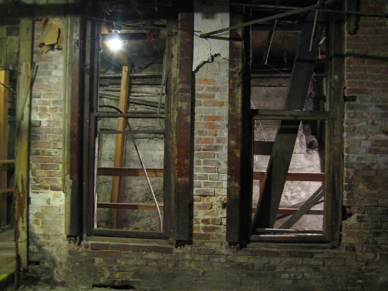
For the rebuilding phase the engineers wanted to take a long time to raise up the height of the city. However, the building owners didn’t wait so rebuilding started almost immediately. Eventually the City put huge retaining walls along the perimeter of 33 blocks worth of the city. These were then filled with whatever they could find & so the street was now up on the second story, while the sidewalk was still down on the first floor. Eventually a new sidewalk was built bridging the gap between the street & the building, leaving a underground network of tunnels where the old sidewalk used to be – this was what we toured through seeing all manner of relics. Well worth the time & money to get that interesting insight in to the city’s history.

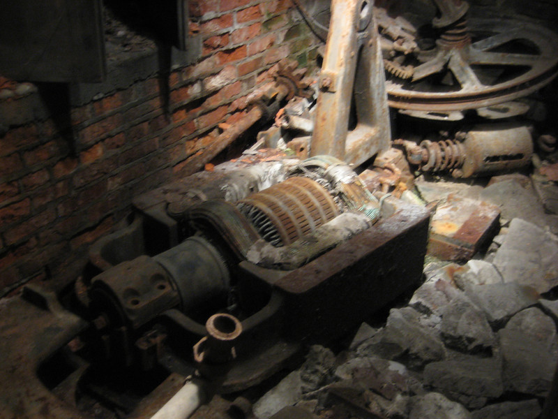
The coil of the first electric elevator in Seattle & other paraphernalia.
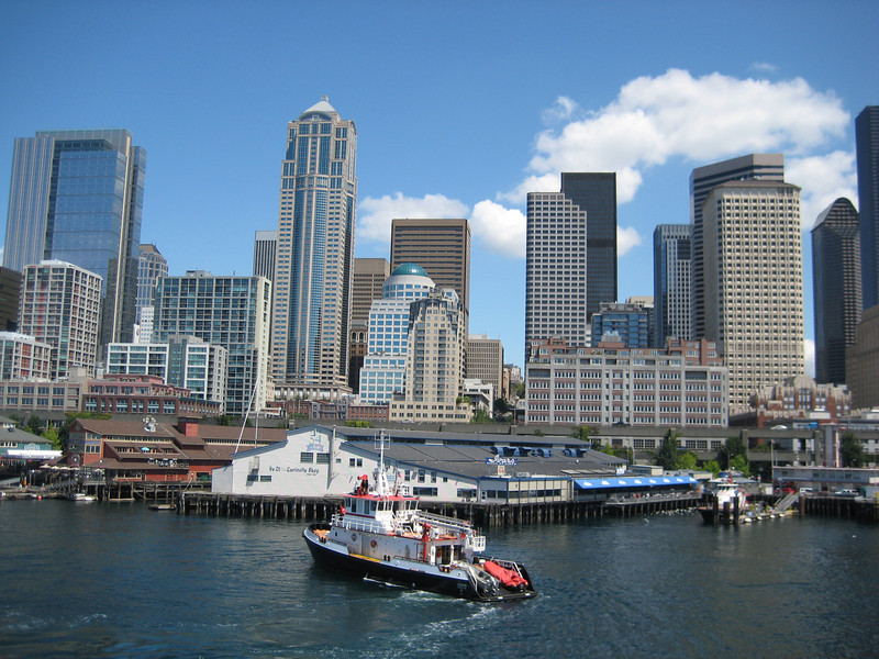
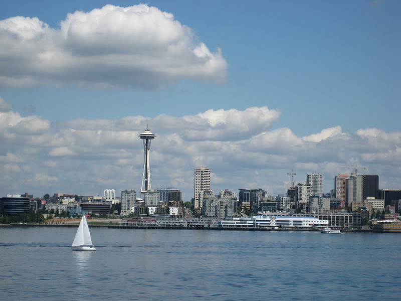
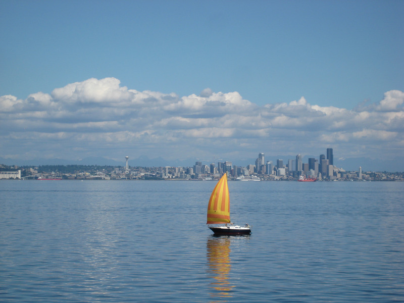
The ferry to Bainbridge Island was a good way to get out on the harbour & enjoy the sun & good views of the city. So we spent a few hours riding out to the island, poking around & tripping back.

We strolled over to the famous Pike Place markets, saw people throwing fish around to order & wandered out. Valerie had decided some time ago that she wanted to buy me a Stetson in the States (I could hardly refuse such an offer) & as this was our last chance we eventually found the shop we were looking for. With me having no fashion sense, it was a long deliberation before I ended up with a grey fedora – which I hopefully will find occasion to wear a bit. That night we managed to tick off a very slight desire to eat at the Cheesecake Factory. It was crazy busy on a Friday night, but we had a nice meal & the cheesecake was very good & not too intense.

Lewis River Trail

Crossing in to the final state of our trip, Washington, it proceeded to get more & more grey as misty clouds descended down the hills as we drove northeast towards Mt St Helens.  Washington, well this part anyway, was a bit more down in the tooth than any parts of the country we’d been through in a while – just older, less maintained houses with plenty of rusting pickups lying around.  My great idea of a ride was looking more & more damp as we pulled in to the Forestry Service HQ – their webcam of the volcano was just a screen of grey.

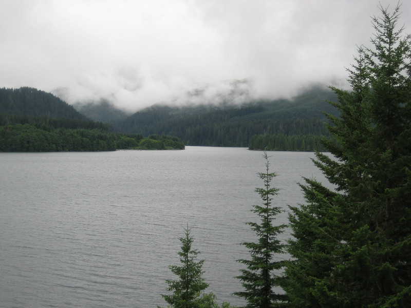
The road continued east along the top edge of Swift Reservoir before crossing the Lewis River just as it entered the lake.

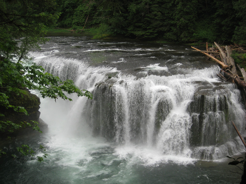
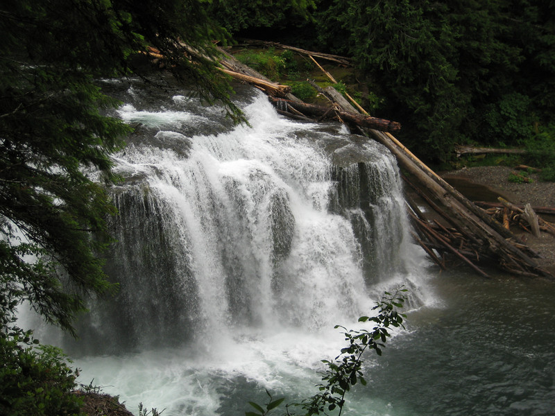
Closer inspection of the GPS trail showed that I could cut the 33 km loop in half by getting Valerie to shuttle me up the road to the Lower Falls.  We lunched in the very dark & tree-lined parking lot before heading out to check out the falls.  Once again, the river was high & the falls were interesting as the drop curved around to be mostly parallel with the overall flow of the water.

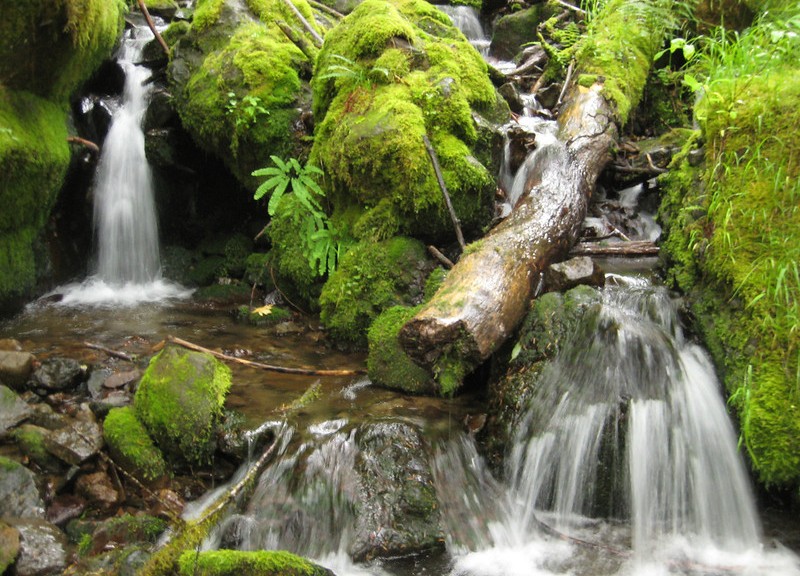
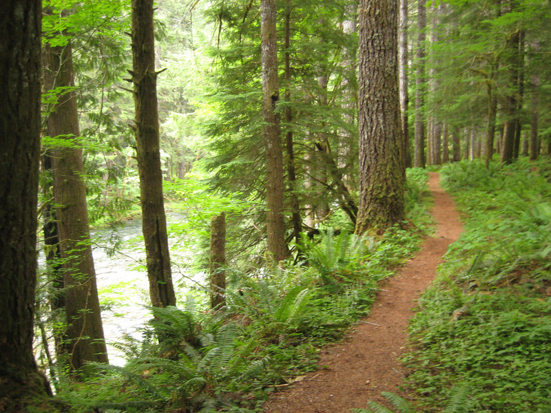
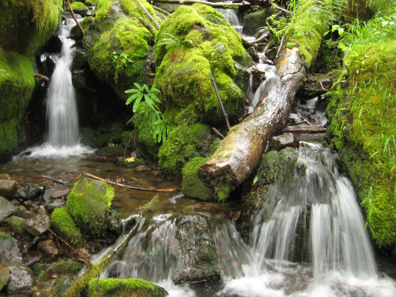
Still rather chilly, I had to put on all my long-sleeved riding clothes before heading down the trail.  The river only had a gentle drop along the length I was riding & it didn’t really feel like I did an overly large amount of downhill.  In fact, there was quite a bit of climbing amongst all the moss, trees & ferns.  It was nice to have decent bridges that didn’t require dismounting, although some were a little slippery in the damp.  Annoyingly, the dogbone on my bike snapped early on so I had to do most of the ride with my bottom bracket (& therefore, pedals) floating around.  [This part has been quite difficult to find a replacement for, I may have a bodge job that will do the trick for Canada.]  There were occasional pretty glimpses of the river & creeks flowing in to it.  The short pinch climbs kept coming, but I was soon meeting Valerie at the pick-up point.

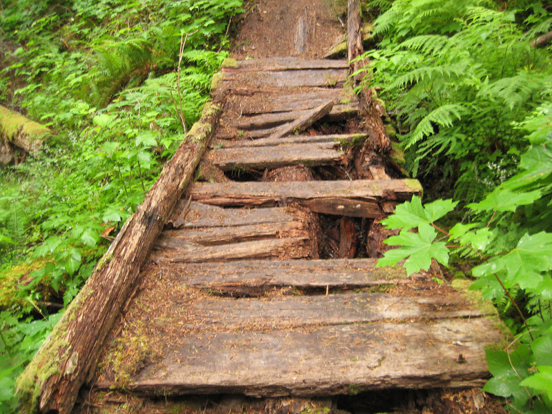
This bridge wasn’t so great, showing the signs of such a damp climate.
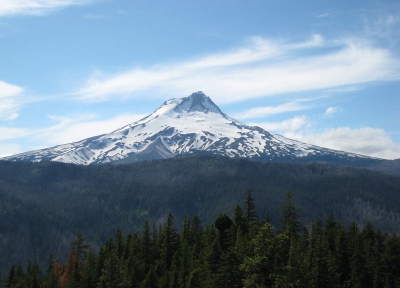
It was very well-timed on our part that the road along the east side of the mountain was opened the day before our visit.  We got a few glimpses of Mt St Helens & the reemerging forest along the drive in to Seattle.

Out of Bend & Gunsight Trail

We got the call just before ten o’clock that Subaru Guru in Bend had finished the head gasket replacement. Excited by the prospect of getting back on the road again, we made the big trek to the south of town & back, packed up & were pulling out of the driveway by eleven o’clock. We had ended up staying a week in Bend – not the ideal circumstances, but a great place to be stuck (even if the weather was a little unseasonal) & we were so fortunate to have Allen & Lisa’s kind hospitality.  I was toying with the idea of a big drive & then the classic Lewis River ride near Mt St Helens, but in the end decided that was too optimistic.

But I had a back up plan – the Gunsight Trail near Government Camp that I had intended to ride the day the car problems started. Mt Hood was once again shrouded in cloud, but it was a lot warmer than last time we drove through the area. The GPS trail I had showed riding from the highway, but as I had Valerie to shuttle me I managed to skip a few kilometres of paved road in the forest. When it turned to gravel I got on the bike, but the doubletrack is so good I would have been confident taking the Outback up there quite a way. I could see the ridge that I had to get up to & it was a long way up. Mostly the doubletrack was steady climbing, but it got pretty steep at one stage – climbing 150m in 1km. I was sick of pushing that middle ring around halfway through that section.

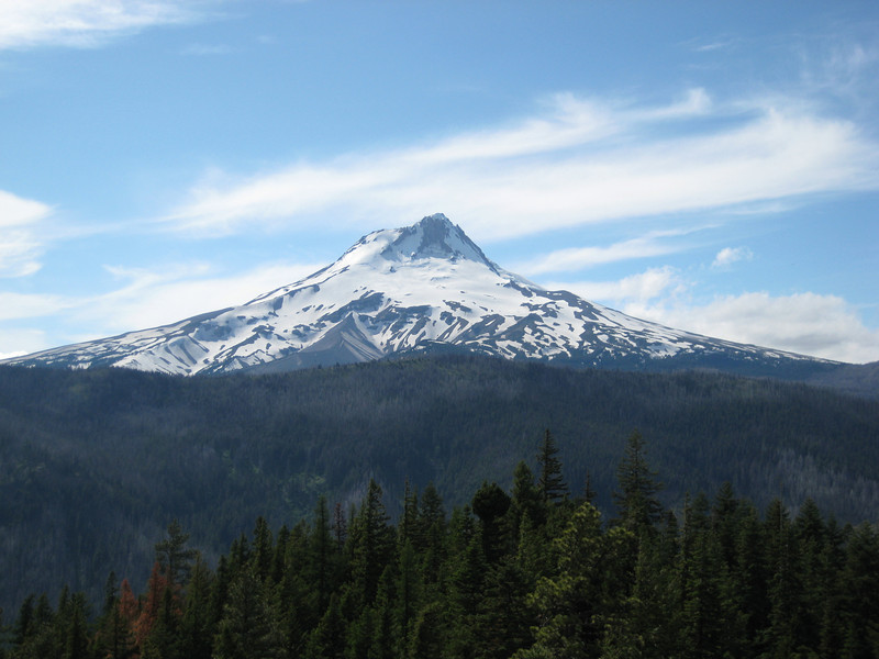
Diving off through the trees to the left, I soon popped out on an old dirt road that went up more gradually to the start of the singletrack. As this road met another, the trail dived off into the trees. I was immediately concerned by the amount of blowdown that I had to climb over – it was going to be a long ride if there were many trees down. But trees weren’t much of a problem after a few hundred metres as I continued climbing on the singletrack. I quickly became reacquainted with my old friend Mr Snow at about 1700m. So for most of the ridge I pushed over quite a bit of snow, rode on a little of it & climbed over the odd tree (breaking a spoke in the process). Pleasantly the cloud was retreating from Mt Hood & by the time I was on the top of the ridge at a burn-site I could get a decent view. There were also good views out to the east of the High Desert.

After slowly making my way along that ridge between 1700 & 1800m for quite some time the trail finally turned down & the snow became scarcer & scarcer. Unfortunately, the screaming good downhill was often interrupted by fallen trees. Nonetheless, it was a great run down – a nice wide trail with just enough rocks to keep one from getting too complacent. Unlike the descent from Surveyor’s Ridge last week, the switchbacks were so far apart I wasn’t annoyed by them. It ended up a pretty short ride at about 17km/10 miles, but after all that climbing, snow & trees I didn’t really mind as I dozed on the drive into Portland.