Offered a cooked breakfast the previous night, naturally I didn’t hesitate. Only the time remained to be settled. Used to starting by seven, that was my pick – but eight seemed much more amenable for tired riders and the kitchen. It was a good call as we were all pretty exhausted from the previous two days and we’d broken the back of the course – two-thirds done in less than half the time available. We determined to have a shorter day to enjoy our time up on the Oteake and a stay in one of its many huts.
 This is the way to start another day of excellent riding, and pushing.
 Well, that didn’t last long. Note Andy’s package of cold toast sandwiches for lunch (there was no shop); the manager was gobsmacked (a priceless expression) and probably despaired for us, we were subsequently offered and took the last two, substantial, pieces of bacon and egg pie from the chiller.
Finally we rolled out at nine, which was a feat in itself with that breakfast. Forty minutes of easy gravel to a brief highway section gave ample chance to look back on the previous day’s hills and further piece the geography puzzle together.
 Looking considerably nicer up there than what we dropped out of fourteen hours before.
 On Home Hills Run Rd again, for a change heading into the Hawkduns and the Oteake Conservation Area.
More TTW stories to be shared – after days above 30ºC with a lot of climbing in the sun: I came off that in the dark, got water from the water race and slept in the only stand of trees around; Andy spent the night well back along the range and was so desperate for water the next morning that bottles were filled from a puddle – that promptly blocked his bottle nozzle (ick); Rachel spent a cramped night in tiny Wire Yards Hut with no water and many other racers. I’d also ridden what we would ride this day, in the reverse direction, on a Godzone training ride of best-sister’s just after returning from the UK seven years before – that was a big day then. I was very much looking forward to spending an easier day further exploring the area.
Filling up at the water race, we steeled ourselves for the loose and rocky track that would involve seven hundred metres of pushing.
 Hmmm, didn’t know that – no corresponding sign if going in opposite direction.
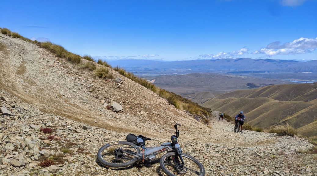
 Quickly gaining altitude, and walking, amongst the tussocks. Yesterday’s Dunstan Range in background, St Bathans Range coming in from the right.
 Mt Ida and Little Mt Ida – landmarks I’m used to seeing from the other side (Naseby).
 Down Hills Creek to the Manuherikia Valley.
 Rocks getting chunkier, but altogether the track was in the best condition I’d seen it – most of the ruts filled in and not nearly as loose as usual.

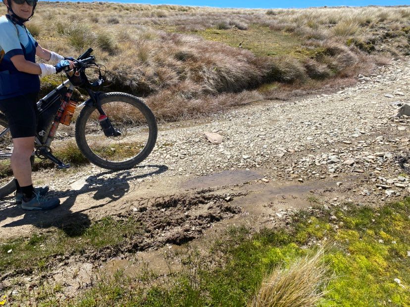
 With a light breeze from the south, it was still warming up. I found a nice, settled puddle to wet my headwear in – but not to drink out of.
 Every hundred metres of ascent was marked, a good excuse to turn and take in the view – and have another snack.
Contrary to my memory of it being steep all the way down, there were parts that were actually ridable. Small parts admittedly, but it was nice to get back on the bike briefly.
 Much more fun on the way down!
Two hours later we gained the summit, but didn’t stick around as we hunted for somewhere sheltered for lunch and a rest.
 North along the Hawkduns, with the Benmore Range on the other side of the Waitaki (which we’d ridden around the bottom of two days earlier) and the Alps beyond – Mt Cook visible behind Benmore Peak.
Turning onto the notorious Walking Spur track, the start of the descent (before the sudden and cruel grovel back up) let me open things up a bit before finding a big rock to lunch behind with views across to the Alps.

 Yay, Walking Spur! Cue eye roll.
 Clear Stream, the end of which we crossed on TTW21 as it empties into the Otematata.
 At least some of the spur was rideable.
Andy founded his grungy puddle, we stopped and there was no way I was drinking from that – he must have been desperate!
 Not much to look at, even less to drink.
 Back on the plateau, we turned off last year’s TTW course east. A glorious day, we revelled in the vastness of the top and marvelled at the sudden deep gullies – which were thankfully avoided.
 Rachel returns to Wire Yards Hut.
 Andy taking in the vastness, so close to towns, but so removed – we saw one moto rider at the base of the climb, and no one else all day.
A note in the hut book indicated a water source two hundred metres down the track; Rachel was most put out to find it was a good one and she’d been so close, and so thirsty on TTW. A long gradual downhill continued, which was a pleasant change, before reaching the railway station.
That’s right, there’s a railway station up here! It’s now a DOC hut, in which I’d love to stay – alas, much too early (40 km in for the day). Surely it must have been after quite a few beers one night that it was decided to drag the old Ida Valley Railway Station building up here with two bulldozers! Yea, here it is. This year’s TTW route comes this way, it would be a great place to stay.

 Outside the station/hut, so much more water up here on this year’s route – a nice pool to dip in here too.
Another hundred metre climb that’s barely a blip on the elevation chart to the last time we’d get above 1000 m that day. I insisted on the short side trip to check out another hut – Chimney Creek Hut, where the eponymous creek is but a trickle.
 Very similar to Wire Yards Hut, less of a view and less exposure.
 A rather flat section as we crested the last hill. Getting difficult to work out where exactly we came from.
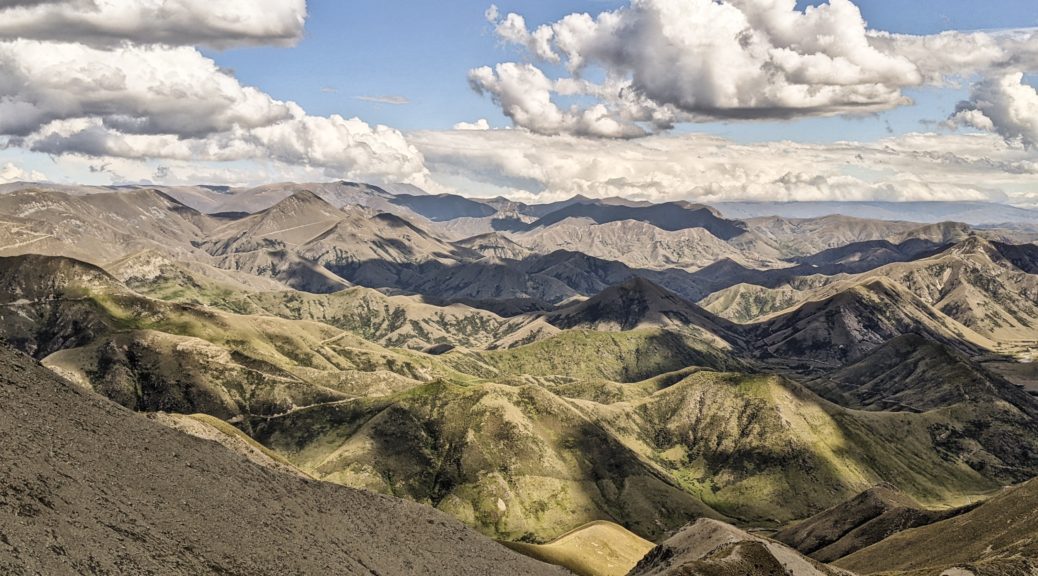
Starting shallow, the five hundred metre drop averaged out at ten percent – so it got a lot steeper. A good track with plenty of water bars, it was exceedingly fast and exhilarating. I had to keep on stopping though as the view constantly changed – more valleys, and the mountains to the east got a lot bigger and more pointed. What’s more, there were tracks all over the place – more adventures to be had and exploring to do!

 Hut Creek, there’s a hut over there, funnily enough, which is called – wait for it – Hut Creek Hut. Brilliant!
One thing about stopping so often was that Andy got in front many times to take some of his video of our trip. This meant I could repeatedly tear past him, and probably give Rachel pause with the noise of rocks hurtling around, and unusually be captured having a blast. I was more than impressed at how quickly Andy was able to compile a simple film that captures our trip in such a way that all my words here simply can’t. I also like it as it goes some way to show just why I love this form of travel and how much joy and excitement I get from riding bikes in this way – especially if I can safely get some air! I won’t go so far as to say I was admonished for getting a little bit of air on a loaded, rigid bike – but it was noted, to equal parts embarrassment and delight. (Which reminds me, Andy’s footage from our end of the field features in Rob’s film, which does a good job of capturing the first TTW – if you’re interested at all in what this race was about, or what the experience was like, it’s worth it.
 Tracks galore! None of which we’d take, save that zig and zag just beyond the tussocks, rising from the upper Otematata River.
 About to climb from the river – after soaking our feet right at the end of the day.

Those switchbacks done, it was a nice roll down to Tailings hut – just after five o’clock! A short day, but so packed it felt much more than fifty-six kilometres. Plenty of time for a wash in Guffies Creek, much tea and a couple of dinners. Another equal-favourite day to go with the other two so far!

 History, huh.


 Leaving the headwaters behind, no sight of Melina Ridge this morning.
 First climb over to Smith Creek to try and warm us up.
 Into another one.
 Heading south, we got some patches of sun.
 Twas lumpy, to say the least.
 Occasionally the sky corresponded with the last forecast we’d seen.
 Another conservation area demanded more food – unsure if it was second-breakfast or first-lunch, but there was a good bottle-filling stream.
 We joined what was supposedly a road, Goodger (great name), but was not really much different to the tracks we’d been travelling on over the hills – win!
 The sidling wasn’t much better, but nothing compared to the next section.
 That’s better.
 A bit of sun for the day. Andy’s photo.
 St Bathans Range in the background, in the middle Dunstan Pass on the left and further right one of the Chain Hills tracks.
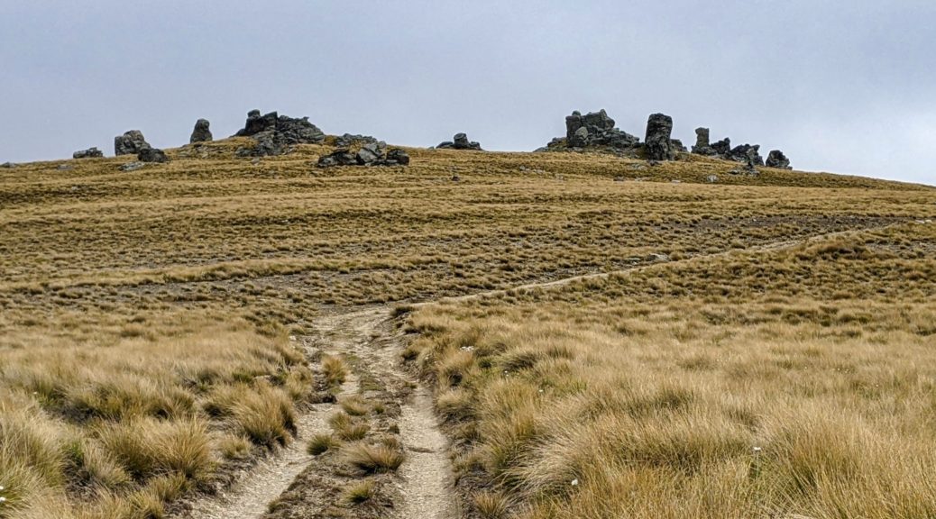
 Much the same, but now the rocky tors had begun to appear as we gained hundreds of metres gradually along the tops.
 We’d come from somewhere just in front of that small patch of snow.
 Many tussocks; looking out to the Alps around Hawea.
 Quickly, the low cloud that we had seen sitting over Central Otago blew through on the southerly that had been cooling us much of the day.
 Still we kept climbing to more and more rocks.
 Now getting above the level of the Chain Hills, we were making progress.
 Mistakenly waiting in the lee of a big rock thinking that was the top. Sigh…
 Cold enough for jackets and thick gloves. At least we’d made the top; although whizzing down would be even colder. Andy’s photo.
 Over the Manuherikia valley in Central Otago – I’d ridden through there the week before.
 Time to start dropping 1200 metres in quick time; hands cold from stopping too much to goggle at the view and take pictures.
 The usual Spot the Track – fun and fast descent.
 Only the week before
  A snippet of the big descent into and through Lauder Station – fun and fast farm track riding.
 Made it in plenty of time where we were well looked after – even if some of us almost fell asleep eating the large meals!
 Across Lake Benmore from the dam remembering previous trips on that lumpy pylon access road.
 Across the dam and there’s now a trail up there, instead of going through Otematata down at valley floor level.
 Looking over Otematata Station to the Hawkduns brought back memories of stinking hot days
  I was thrilled that this new section of A2O took us high above the lake to give views of parts I’d not seen before.
 Still surprised at just how green this normally barren area is looking this summer.
 Almost another hour up the wide valley, getting closer to the access easement.
 Andy’s photo.
 Stunner, hot afternoon.
 We were advised to cross the Avon Burn as soon as possible and stick to the farm track, much easier going than the nearby poled route.
 The track soon left the stream with some steep pinch climbs.
 As we got into the hills, we constantly pondered just which track we would soon be ascending. Andy’s photo.
 We found this sweet, old private hut just before the long push began.
  Looking up to the big switchback, that was almost halfway up the total climb.
 Back down Avon Burn, the hut near those yards.
 Looking south before switching back and crossing that face two pictures above.
 Running out of words for a while.
 I can see at least eight tracks there I want to explore!
 Into Otago now and the start of the Lindis River, we’d be down there soon enough.
 Waiting a bit, scoping out more tracks.
 The trail changed for the last few kilometres to the summit, with a little dip around the corner to climb out of.
 Tough place for fenceposts.
 Through the gate into our first conservation area, I was not stopping on the downhill that presented itself.
 Another climb from that stream did at least give a good view of the bottom part of the descent. One can see the Mt Melina track, that left the ridge track at its highpoint.
 Out of Oturehua on the Otago Central Rail Trail.
 Starting the climb, over the Manuherikia Valley to the Raggedy Range.
 For once I had the time and inclination to make the small detour and check out this wee old hut. A pleasant spot for second-lunch.
 Thomsons Saddle.
 Headwaters of Thomsons Creek, the stone hut just around the corner.
 One day, hopefully soon, I’ll go up there. Now I’m in the area, there are many little side trips to be found and explored.
 The restored Come In Time Battery.
 Over the Lindis River.
 Heading to Cornish Point.


 There’s the occasional climb, but nothing significant on a loaded bike.


 As well as the scenery, which was probably not helped by the gloomy day, I enjoyed having the time to read all the signs detailing history and engineering in the area.

 Saying goodbyes.
 Actually stopping to read the interesting displays at Lauder.