San Juan ride

With dodgy WiFi at the motel last night, this was the only page I had to go on for a ride today (fortuitiously left open on my browser from the previous morning). I’d heard it was a good one, but quite a long ride. I managed to get a jpeg of the topo map on my GPS & work out how to find the trailhead, so this morning with an hour’s drive through the June Gloom I was setting off for a ride up a big hill. Luckily for me, another guy pulled up shortly after & he’d ridden the trail before – so I joined Levi, a lifeguard at a beach just a little south.

Speaking of the beach, this was the closest I’d been to the ocean for quite sometime. 250m was also the lowest elevation I’ve been at for over a year (the London weekend doesn’t count), so I was hoping my mountain lungs would hold me in good stead. Straight off the bat, the trail just climbs & climbs – first through fifteen (count them) switchbacks before starting to follow the contour of the hills a bit more. The climbing continued for the first 10.5 km, surrounded by artillery barrages echoing through the hills from the nearby Marines’ base Camp Pendleton. Apart from some tricky switchbacks it was all pretty easy & I cruised up with quite a few breaks to wait for Levi. The trail surface was really nice crushed granite, in some places the scrub tended to encroach a little; compared to what I’ve been riding recently, it wasn’t the slightest bit technical (that is, if you avoided the drainage ruts). The gloom wasn’t really conducive to photos, but I tried my best. Although it was quite cool in the cloud, I sure noticed the difference in being close to the sea – I haven’t sweated so much in who knows how long.
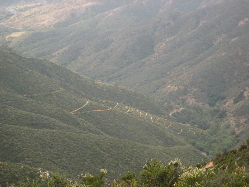
Switchbacks climbing out of the valley
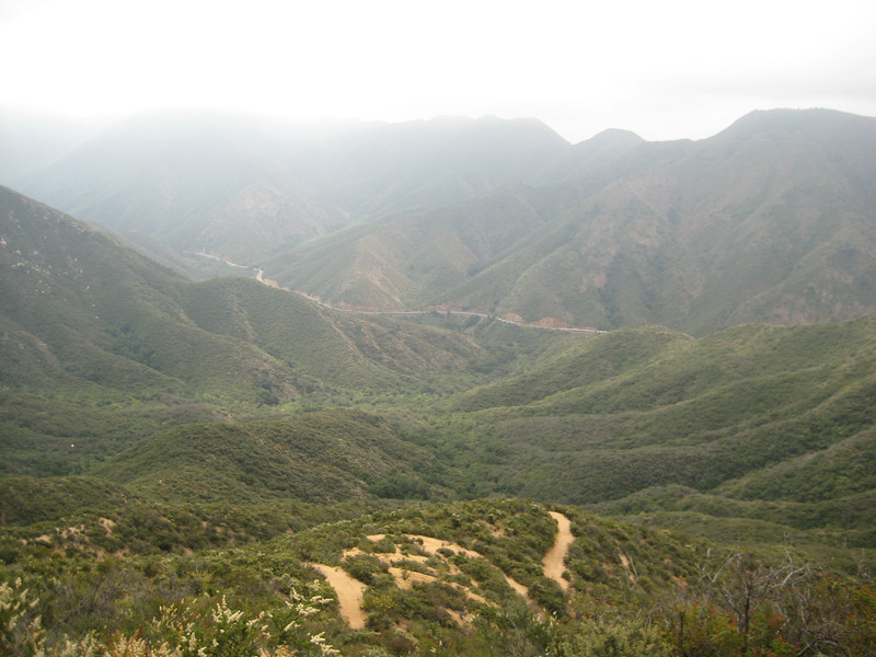
More switchbacks, with the scenic Ortega Highway in the background
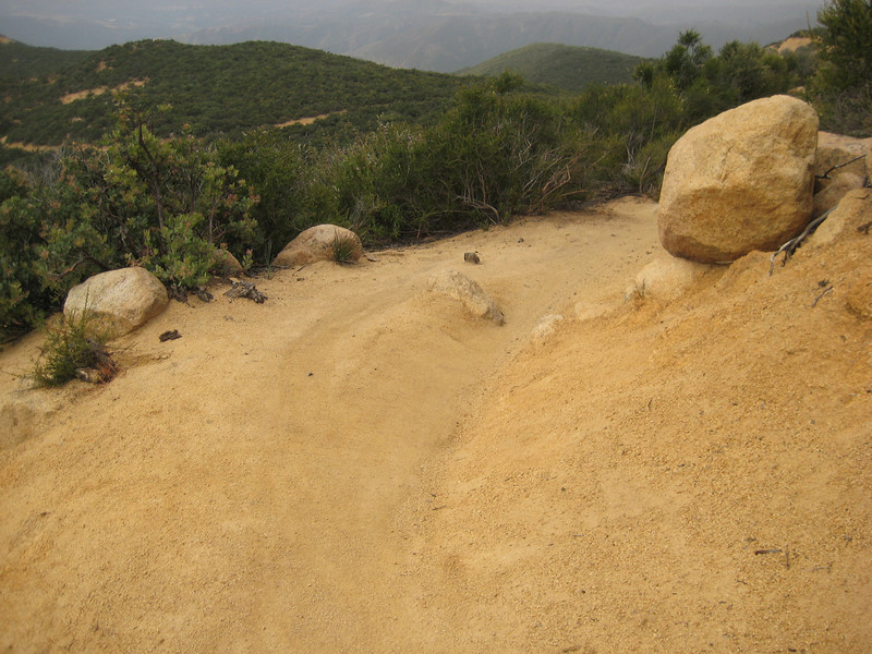
A wide easy section

About ninety minutes after leaving the car, we reached a fork in the trail at Cocktail Rock (so called because it looks a little like a bar). We went left up the wide trail here, eventually completing the loop on the trail that comes up the hill from behind the rock.
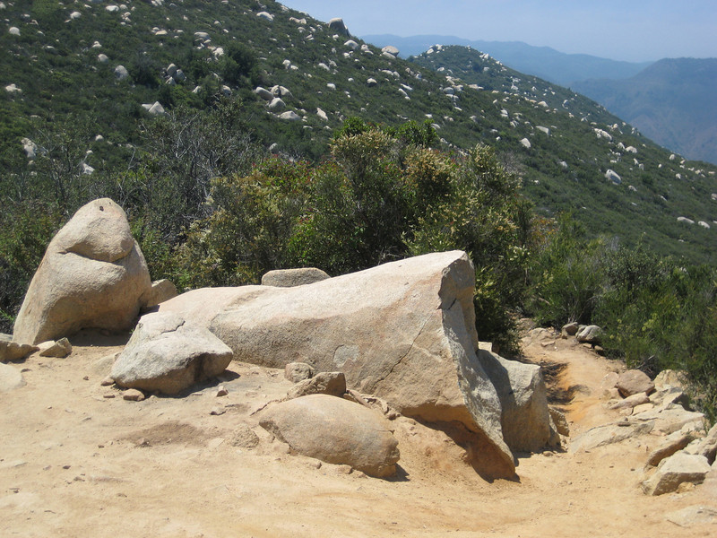
Cocktail Rock with the return of the loop on the right.

We’d done most of the big climbing by now, the loop was mostly undulating. It was quickly into a neat downhill section that was wide & fast, then filled with loose rocks & then rooty & rutted out. It was all great fun, with nothing too difficult there. Near the end of this part we’d left the scrub behind & were riding through meadows surrounding by massive trees – it was a surprise to see these & have some shade (the sun having begun to burn off the clouds just after eleven o’clock).

As we left the meadows behind & I saw this climb ahead, I was pleased to have Levi catch up & tell me to turn right & avoid it.
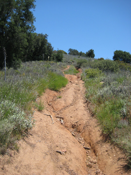
There were two more intersections (one with an old sign & one un-signed) where we had to take the right option. We got a bit more up & down in before returning to Cocktail Rock.

From here it was pretty much all downhill & boy was it fun. Nice smooth trail that just went down & down for more than half an hour. It was well worth the pedal up & negotiating all those switchbacks going down was a whole different skill to pedalling up around them. We were back at the trailhead with grins plastered on our faces. I was pleased that I’d taken a punt on the weather (we had a little rain on the drive there) & gone on this ride with another big ride promised in two days’ time. I wasn’t really hurting or exhausted by the end of 28km of riding & 1000m of climbing in 2:40 riding time – all those rests must have helped.
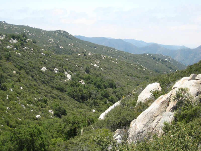
All the rocks dotted through the scrub looked a little odd – I kept thinking I was seeing water tanks on the ridge
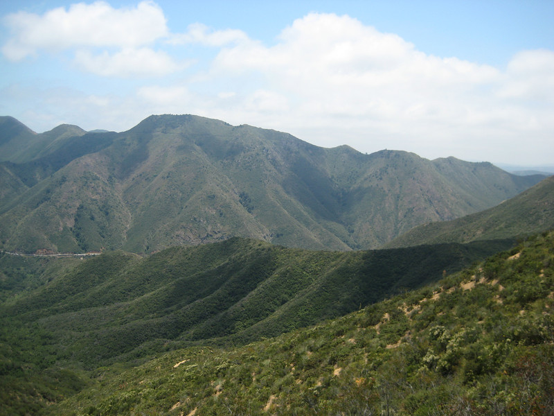
Just to prove the sun came out & it was a nice day

After feeding the machine that powered me up the hill we hit the road to San Diego. Just over an hour down the I-5, it was great to be driving back into San Diego & recognising various placenames & exits from the freeway. My month here immediately after leaving NZ two years ago was just fantastic (apart from the mugging incident, of course). Disappointingly, my visit this time has been ill-timed to coincide with most of my Kiwi-American friends being out of town – I was so looking forward to staying in a home again & seeing people I know for a week or two. At least I still have a good riding buddy I met on my last visit – tomorrow is bike-TLC day (must be about my bike’s fourth birthday) & BBQ at his house, can’t wait.
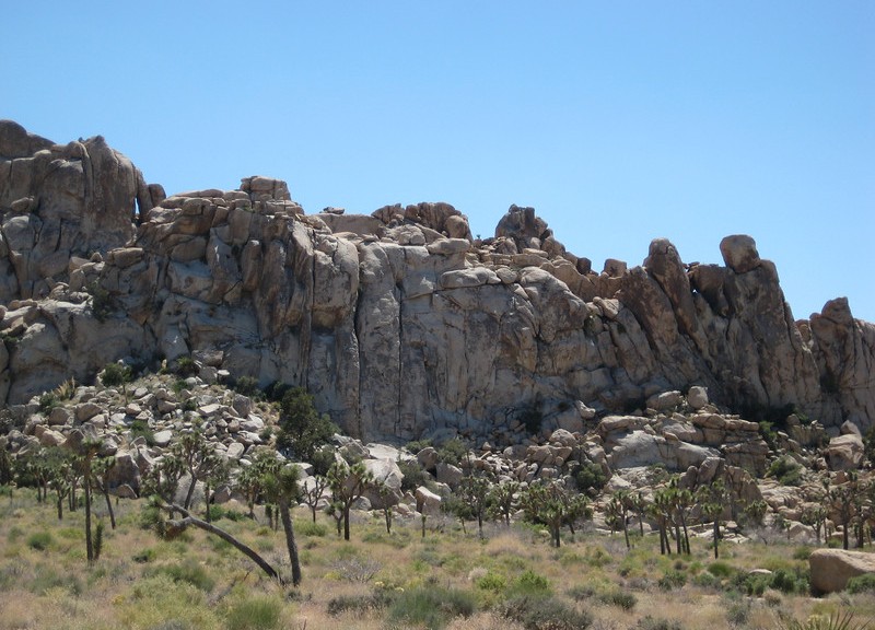
Joshua Tree National Park

Leaving our humble/crumby/roomy trailer we headed west, & after crossing the Colorado River for the last time & declaring we had no fruit, were allowed unimpeded into California.  It was a longer drive through the edge of the Colorado Desert to the SE corner of Joshua Tree NP than I expected.  As we drove in to the Cottonwood Visitor Center I was a little confused by the lack of Joshua trees – instead there were quite a few Mojave yuccas around.  It turns out the park straddles two different deserts – the lower Colorado & the higher Mojave & the Joshua trees are found in the west, higher part of the park.

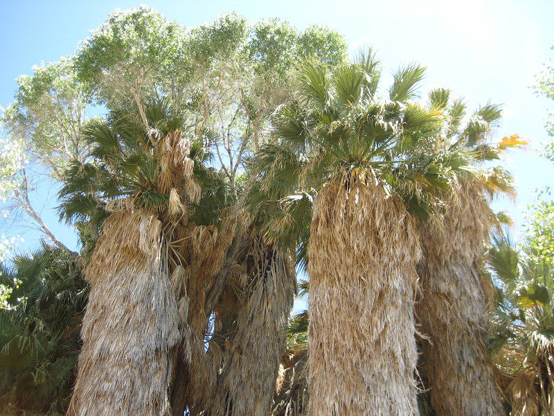
We checked out Cottonwood Spring, found a lot of greenness, but no spring.

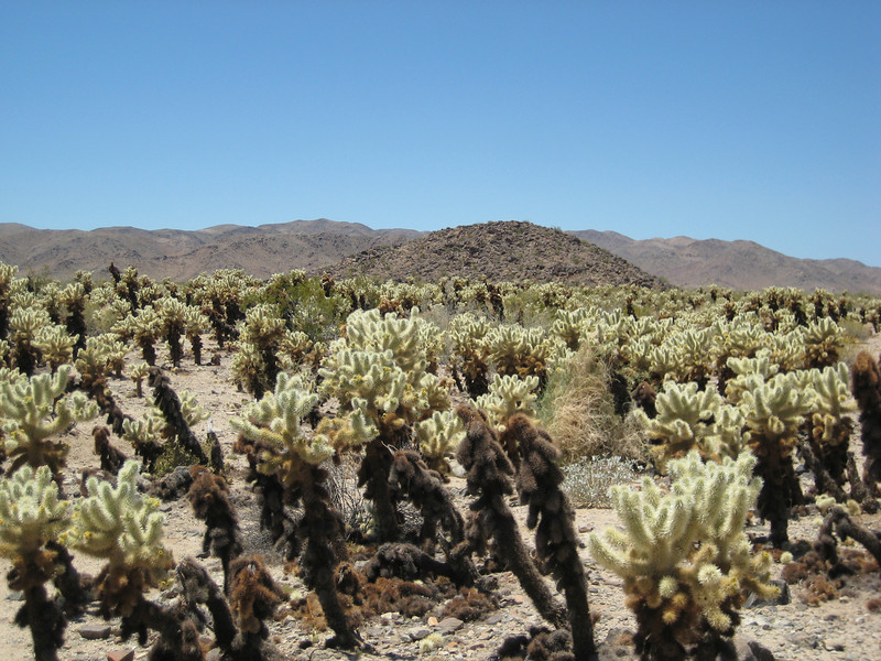
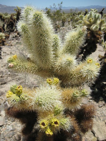
It was quite a drive west through the park stopping at the occasional exhibit & view point.  I was trying to work out why my friend from work in Canada, Janet, had come down here for two weeks of climbing earlier in the month – the gneiss didn’t look at all climbable.  The Cholla Cactus Garden was very neat – provided you didn’t get any of the barbed spikes in you.  Apparently they are painful & difficult to remove.  I went so far as to put my sneakers on for the first time in days.  Just as I completed the loop I saw a family posing their two young children in amongst the cacti (off trail) for what would have been a neat photo.  By the time Valerie went past them, the youngest was screaming in agony – he got stuck by quite a few spikes.  Idiot parents.

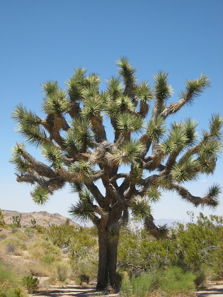
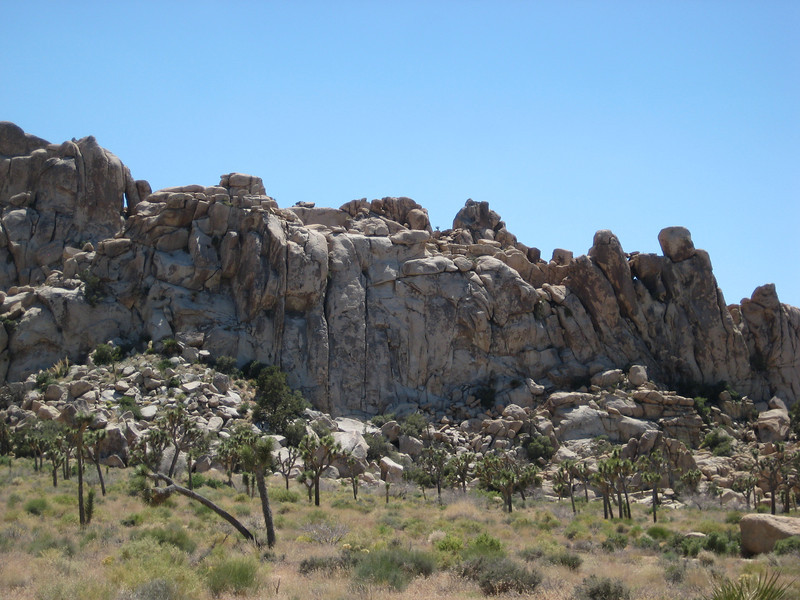
Eventually we did get up high enough to see Joshua Trees – many different shapes & sizes & just everywhere.

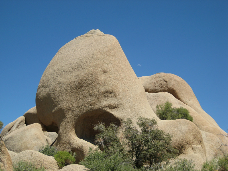
Also, the rock got a lot better.  We spent a bit of time wandering the trail around Skull Rock (never quite found the right angle to see the skull properly, but it was close enough) before continuing through ever increasing amounts of good climbing (I assume, what would I know?) granite.

Leaving the park we joined the freeway just west of Palm Springs & headed towards Los Angeles.  Around here I saw the biggest wind farm I’d ever seen – they were all over the place.  That wasn’t too surprising, it was a big wind tunnel & Valerie had great fun driving this bit.  As we got closer to LA it was clear that even high winds were not enough to disperse the great big cloud of smog sitting above the city – turned a nice sunny day quite disgusting.  With the help of the map book we left the interstate & headed south through the hills – the sky was a little clearer & there was a lot less traffic.  Very pleasant indeed, but being no towns around we couldn’t find anywhere to stay so had to go west again to find somewhere to stay.

Prescott, a short ride & Arizona desert driving

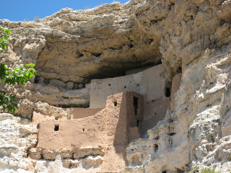
After two tiring rides on consecutive days, today was supposed to be a driving day. But unable to sleep from 3.30 this morning I eventually got on the internet & found a short loop just out of Prescott – a town that was vaguely on the route we were taking towards Joshua Tree NP. I did eventually get back to sleep, so after a lazy start we made our way down I-17 towards Prescott (“Press-kit” apparently). We got a little distracted by Montezuma National Monument – more cliff dwellings, but not nearly as many or as grand as Mesa Verde NP.

A fair way & many traffic lights down a highway off the interstate, Prescott is a nice big town. We did seem to park on a street that is mostly antique shops (the town’s not that old), so after lunch we perused these until I got bored & then eventually found the center of town. A nice big leafy square with the grand county court house in the middle – & plenty of statues of course. It was pleasantly warm, but breezy so I wasn’t too worried about going out for an easy afternoon ride.

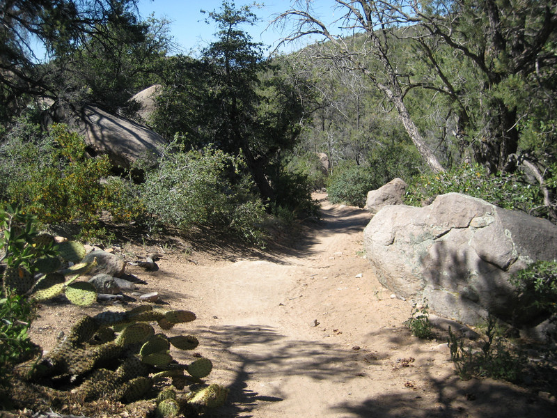
Just west of town we found the trail head in the National Forest & I set off for what sounded like a fun little loop (or so it seemed in my sleep-deprived state this morning). There was a short easy climb to begin with up to a saddle & then the trail skirted a hill & descended for about seven kilometres. The trail was wide & smooth – mostly dirt, with a little sand – & fast. It was great fun, especially all the little water bars to jump off & some nice banked corners. I was having a great time in the sun, but with the breeze & a few small trees around to provide shade it wasn’t too hot. I would have no qualms about taking a confident beginner down this section of trail.

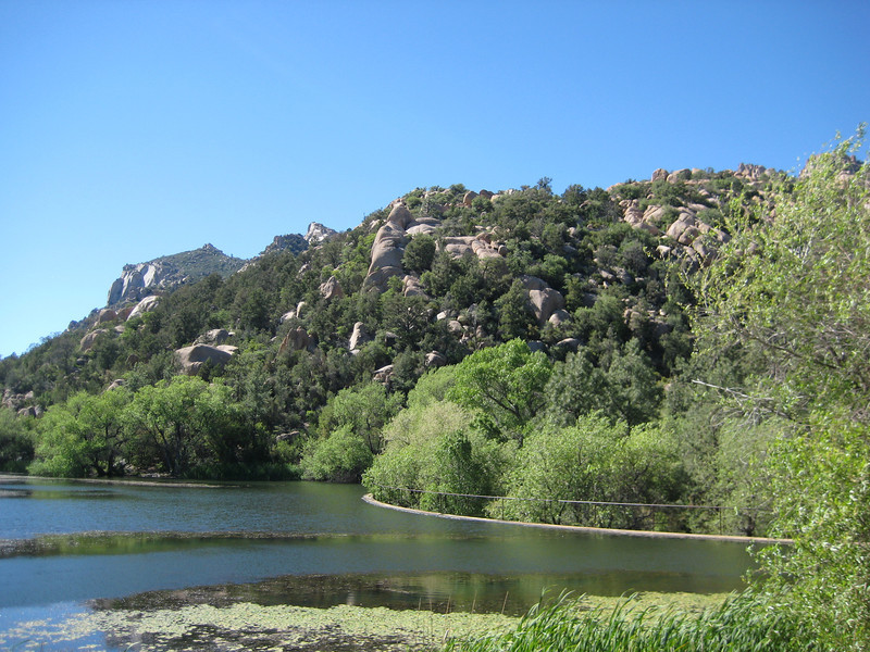
At about the half-way point of the loop the trail turned southwest & started making a gradual climb up a wash. It was a little sandy in parts, but OK. As the canyon narrowed the climbing got a bit more technical periodically – there were a few steep rocky bits I couldn’t clear. That beginner I was thinking of bringing along better not mind a bit of pushing for a while. The trail eventually came out at a small manky dam & meandered along & across roads for a while – trail finding became a little more of a challenge. With one final climb out of the way, it was downhill all the way back to the parking lot. Having not intended to ride today, I thoroughly enjoyed myself on this little ride & wasn’t really tired when I finished.

With the ride out of the way, we could make for the Californian border. Valerie had mapped out a route through various backroads which was great. From the Prescott area we headed south on the 87, dropping a lot of altitude in a hurry to get down to the plains. Managing to find gas in a small town, we were more confident that we wouldn’t be stranded in the desert as night fell. The big cacti were starting to appear & the towns were looking more delapitdated as we got further away from the main highway. There are an amazing amounts of derelict hotels & gas stations in these parts, with the associated shells of various vehicles. Occasionally we would happen upon a small town that still had a little life in it.

One such town was Salome – we stopped for dinner at a bar/cafe. The bar was dark, with thin strips of neon & full of locals – unfortunately for me, Valerie preferred to eat in the ’50s style diner, which was still fun (at least the burger was great & the lime drink concoction I had was supercharged with sugar, but very drinkable). Not finding a motel room with two beds in it in Salome, we pushed on to Quartzsite (we’re on the I-10 now, the freeway between LA & Phoenix) & are staying at the Yacht Club Motel. That must be a bit of desert humour, as there’s no sailing on water to be had for miles. It’s really a motel of trailers – first time I’ve ever stayed in a trailer. There’s more room in here than we’ve for weeks & almost a proper kitchen – I wouldn’t buy one, but it’s a pleasant change.

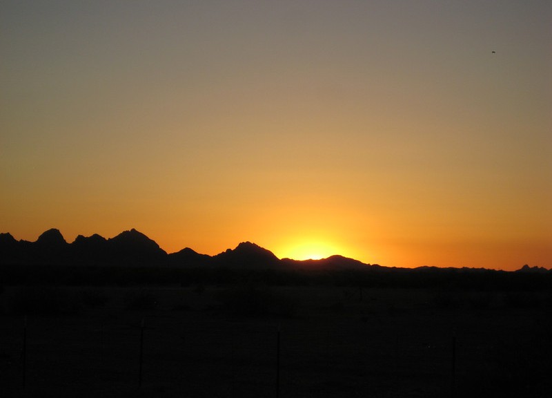
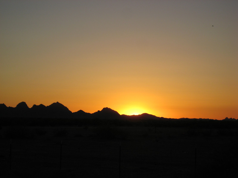
The jagged silohuette was very pretty as the sun set
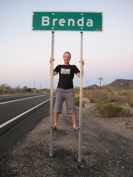
I couldn’t reach high enough to Tipp-ex an ‘n’ on
Sedona ride & Meteor Crater

Everything was giving me the impression that riding in Sedona at this time of year is ridiculously hot, so I was up before six this morning for the hour long drive south & down (a big drop in elevation) to get my first taste of legendary Sedona singletrack. The drive down the Oak Creek canyon was stunning, if slow, as the sun was still rising. Parking at a trailhead in town (avoiding the Red Rock recreation fees), I was soon out on the trail following another GPS track pilfered off Garmin Connect. This one included both the Templeton Trail that came highly recommended the previous day & the Highland Trail that was supposed to be a fun downhill.

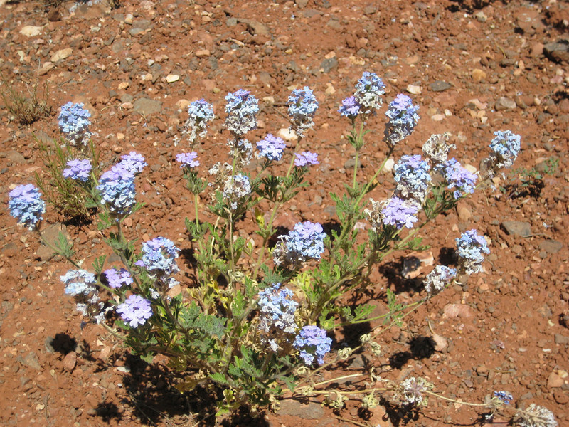
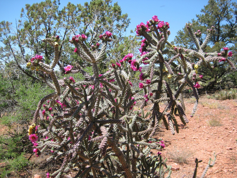
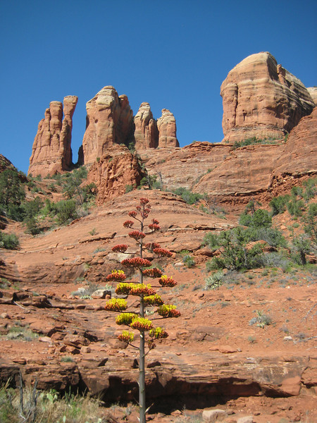
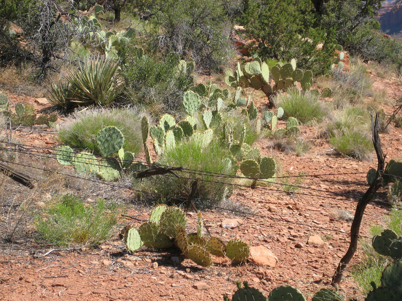
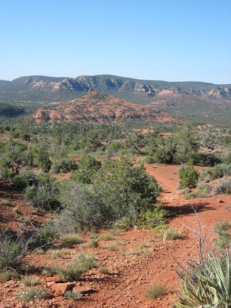
It was starting to warm up a bit by the time eight o’clock rolled on, but the first part of climbing along the Ridge Trail was not much of a hassle. There were some beautiful desert plants around, & also many more (small) trees than I was expecting.

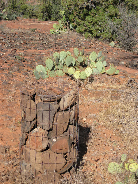
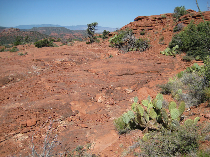
True to name, all the ground was very red-brown. The trail marking was great with signs at all the main intersections, map boards at the trail heads & these massive cairns.

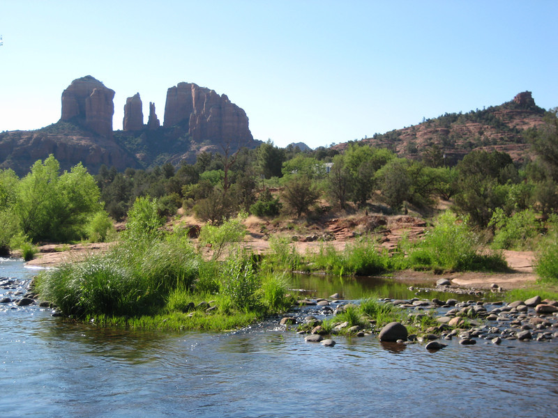
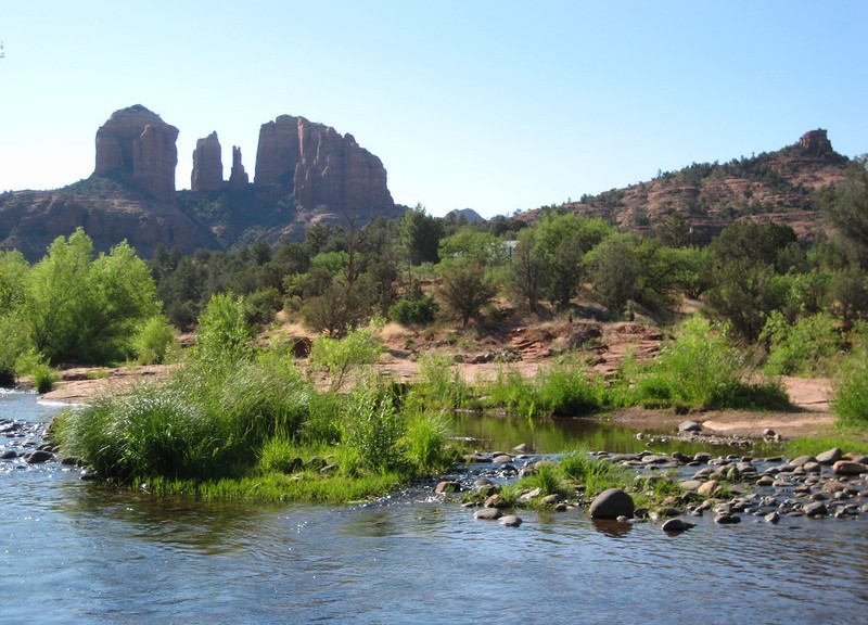
After a steeper down hill, I was carrying my bike over stepping stones across the Oak Creek looking up towards Cathedral Rock.

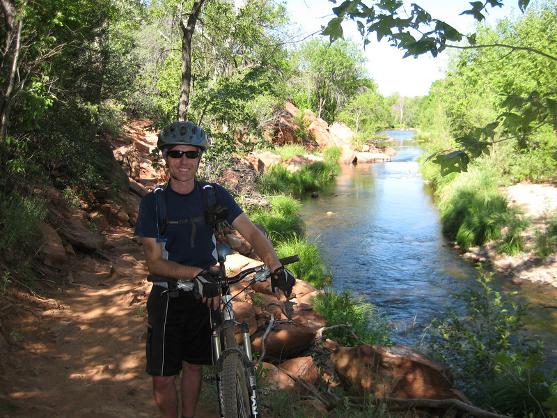
I started to have a few mechanical issues with my rear derailleur slipping, but I eventually sorted those after a couple of stops. On to the Templeton Trail beside the creek, not long after softening my forks I managed a great OTB (over-the-bars) dismount when my front wheel just stopped against a big rock. I managed somehow to jump over the bars, land on my feet on the trail & catch my bike before it hit & injured me again. Luckily this was all out of sight of the small group of hikers that came by – they all commented that I must be crazy riding these rocks, I was inclined to agree with them. As the creek was so nice, they obliged & took a photo of me.

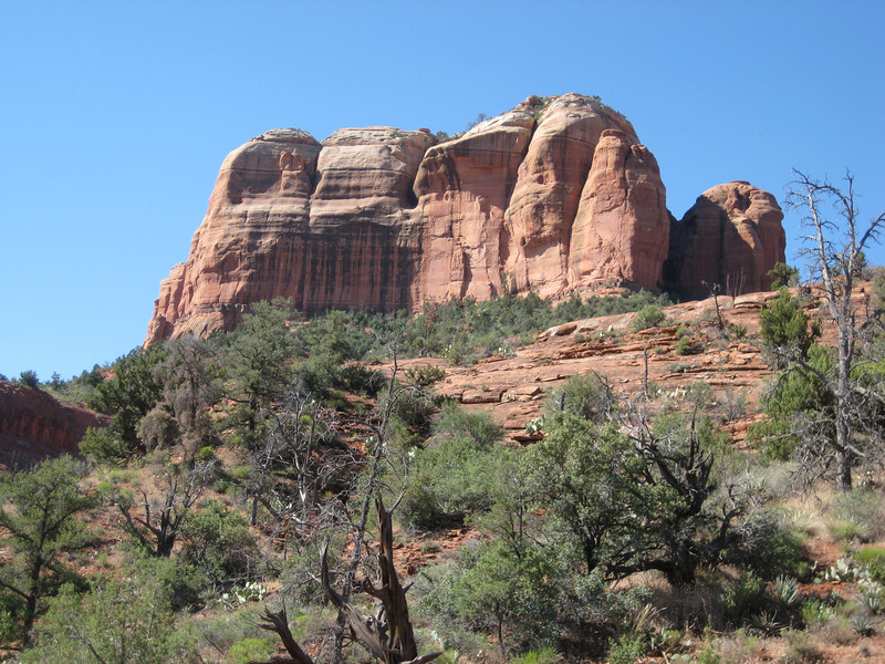
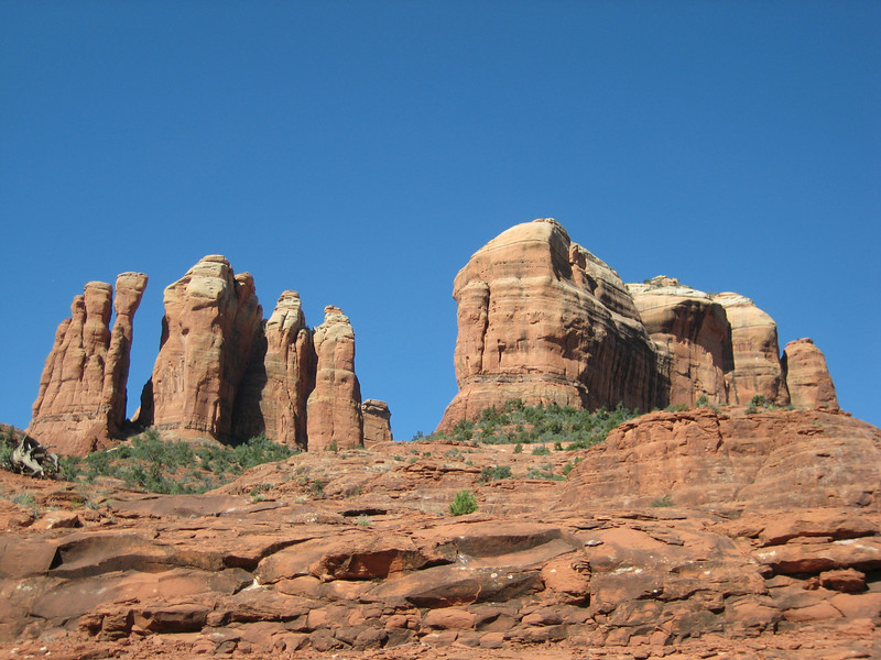
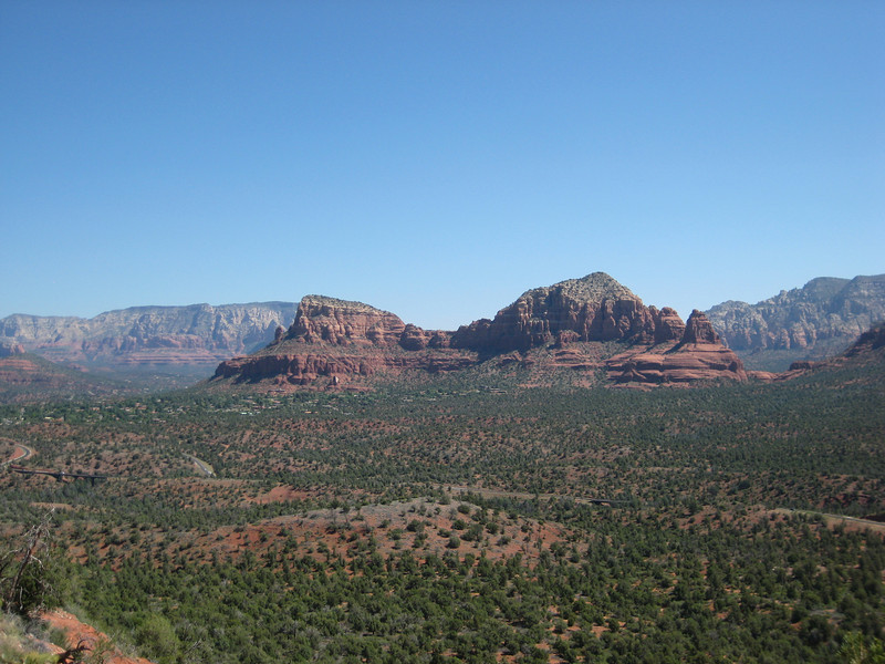
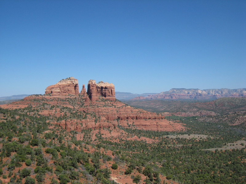
The Templeton Trail then climbed quite steeply & technically – I got the idea I was doing a downhill trail in reverse – before leveling out & skirting around the base of Cathedral Rock. I got many different views of this stunning outcrop during the morning, here are some of my favourites.

As I continued climbing, the breeze picked up & was a great cooling system. I missed an unsigned turnoff to a minor trail that my GPS track was giving me, but after backtracking a little I found the Made in the Shade Trail just past a big intersection – this climbed nicely up a wash before a final steeper climb up a gully put me on the Highland Trail that skirted the side of the mesa I’d been tracking around for a while. This wasn’t too exposed, but there were times I had to take my eyes off the view & make sure I didn’t go off the edge into some sort of pointy vegetation.

At the end of the mesa, the trail plunged off steeply & I was a bit annoyed that I couldn’t ride more of it. But still conscious of being alone & my confidence for big rocky drops not really there, I managed the almost-as-hazardous walk down. Down on the saddle behind Cathedral Rock there was a bit of slick rock riding. A lesser used trail, navigation became trickier – I was glad to have the GPS.

Spot the trail

I cruised back down to the Red Rock crossing of the creek & then slowly climbed back up the Ridge Trail. Maybe it was the sun & the wind taking it out of me, but this was the biggest riding struggle of the trip yet. Nevermind, I made it back to the car still enjoying myself & the gorgeous scenery.  Sedona fully deserves its reputation – I only rode a few trails, they were excellent & there are many, many more.

We had a quick look around the rather touristy town of Sedona, mostly at some little complex made to look like a traditional Mexican village filled with galleries of various kinds. It was nice, but I’m not sure my biking get-up was the best. With the sun high in the sky, the drive home was completely different – not quite as nice. The wind was really getting strong in places & would continue to increase in intensity as we has a lazy hour back at the motel cleaning up before heading half an hour east on the freeway.

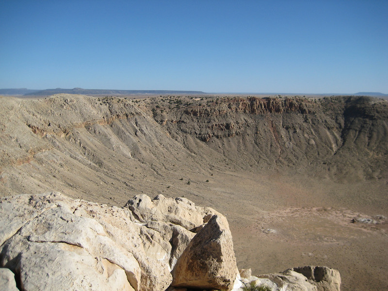
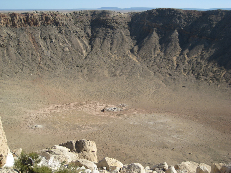
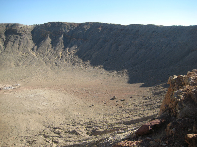
As we drove into Flagstaff from Nevada Valerie had noticed a sign for a Meteor Crater – as it wasn’t far away we decided to go & check it out. This was a completely different “big hole in the ground” that we have grown accustomed to seeing over the last few weeks. The 1.2 km diameter & 170 m deep crater was made when an iron-nickel meteor only about 50 m across came crashing into the Arizona high desert (very flat all around). It was insanely windy out on the viewing decks (I got blown into a handrail at one stage), but worth it to see one of the best examples of meteor impact on earth. The recent history of it is quite interesting too – NASA used the crater floor to train astronauts in geology & also for testing Apollo spacesuits. There’s a good panorama of the crater part way down the linked page above, but here are a couple of my shots.

Biking to go places, going places to bike.