Bryce Canyon

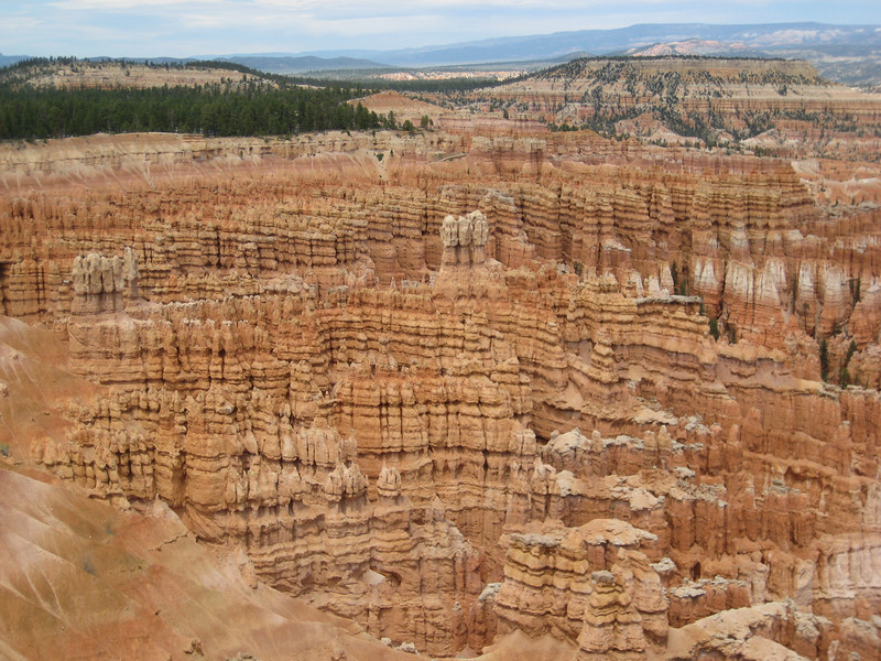
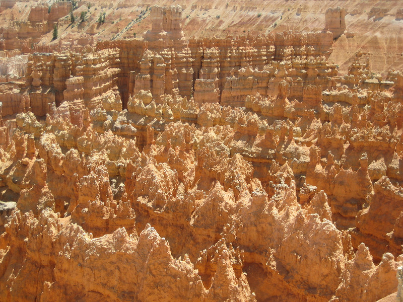
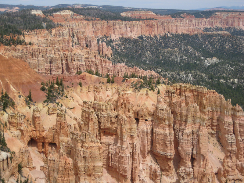
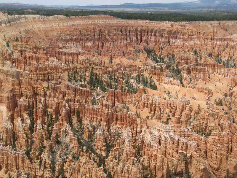
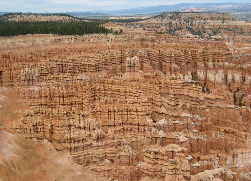
Yet another national park today (I’ve long since lost count). Driving through the south edge of Zion, we got to Bryce in another couple of hours. Quite a small park overall, the main attraction are the wonderful rock (limestone & sandstone) formations in a wide variety of colours. Most of these are hoodoos, but there was one arch that we saw & some grottos. We did the whole scenic drive thing again as I was planning a ride back in Hurricane (we got too late for that). The first things we saw were pretty stunning, but Bryce Amphitheatre was just astounding – mostly in its size & number of hoodoos, giving rise to immense beauty. I think it was the most spectacular thing I’ve seen all trip.
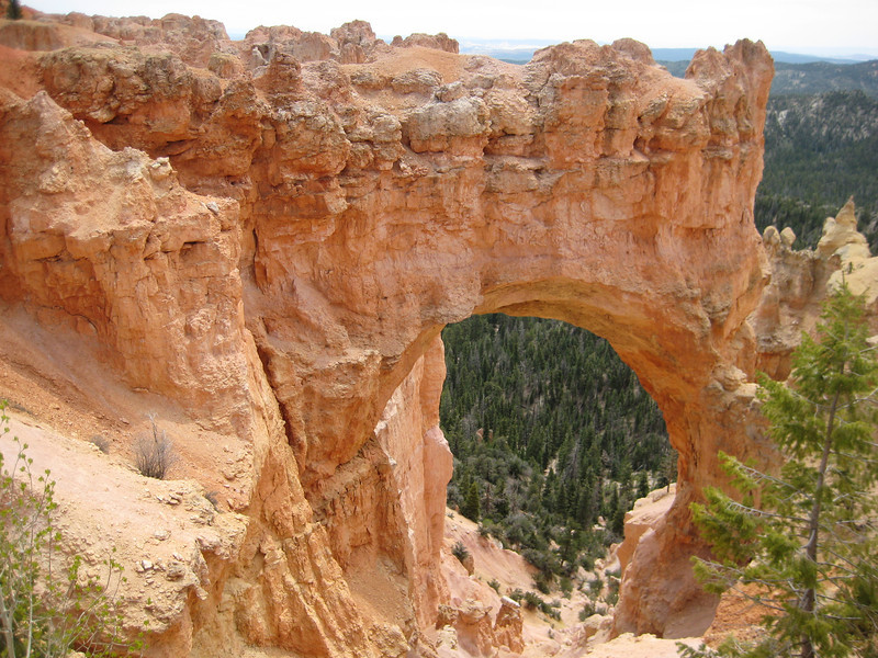
Natural Bridge – not really a bridge, but an arch
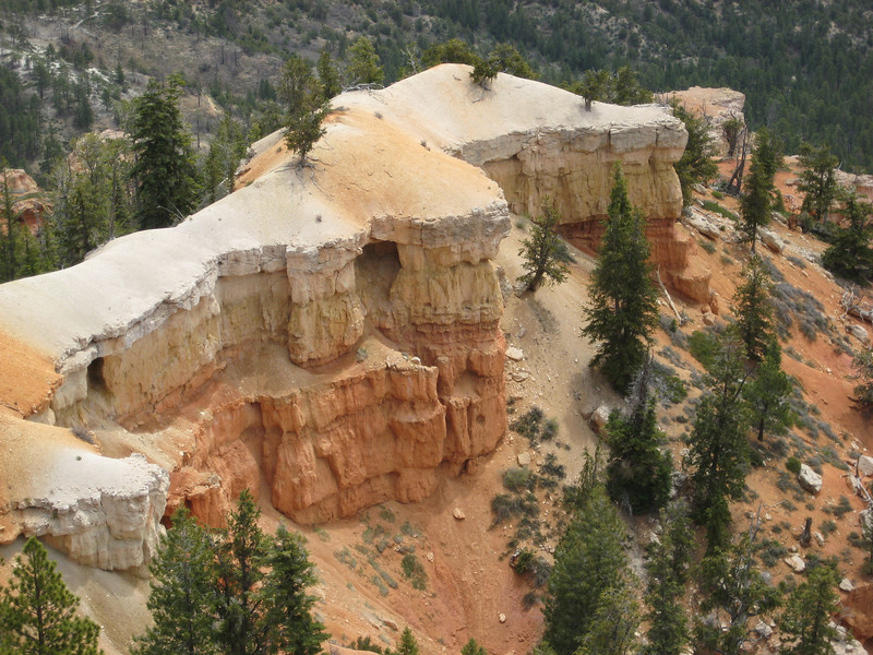
Some of the rock on the top hadn’t eroded nearly as much
I’m writing this one while Valerie drives, so now is a good time to comment on the driving in the States. Maybe this will change once we hit the populated areas in & around California, but the standard of driving here is so much higher than NZ, Australia & the UK. There just aren’t so many people doing crazy things & speed doesn’t seem to be so much of a problem – I’m struggling to think of passing a single wreck & we’re almost up to ten-thousand kilometres of driving. All this with no speed cameras & very, very few patrol cars. Now that I’ve written that, I’ll probably be proved wrong.
Zion & JEM

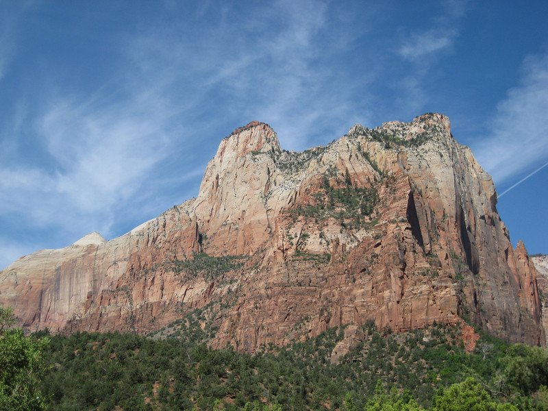
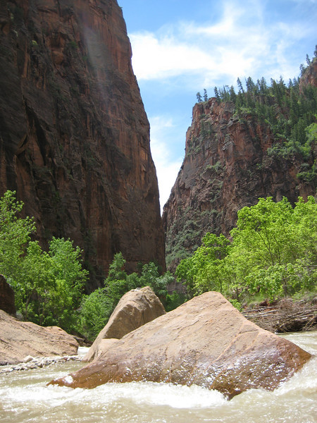
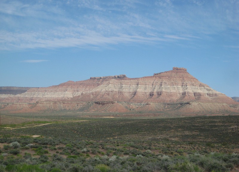
My favourite National Park from my last visit to the States, I just had to go back & show Valerie Zion. Kept awake for most of the wee hours, I was decidedly slow & not really in the mood for walking around in the sun. But after not having been long in Zion, the beauty of the place & then seeing a woman with a stump for a left arm & no right arm at all snapped me out of that. I still love Zion – there’s something about being at the bottom of that canyon with such sheer & red walls. We did pretty much the same things I did on my last visit, with perhaps one extra short walk. For the first time on this trip, I wished I was traveling with someone who would be keen for a big back-country hike (there were a few groups around starting/finishing) – not a lot of Zion is easily accessible, hiking is one of the few ways to get out & see more of the park away from the canyon. I tried to spend more time appreciating the scenery & not taking photos – I think I succeeded in this, but still ended up with a lot of pictures.

The Virgin River was running quite high – couldn’t walk up to The Needles
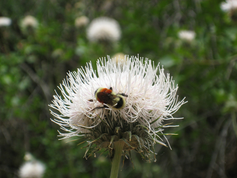
These thistles were bigger than I was – just as well the bees weren’t.
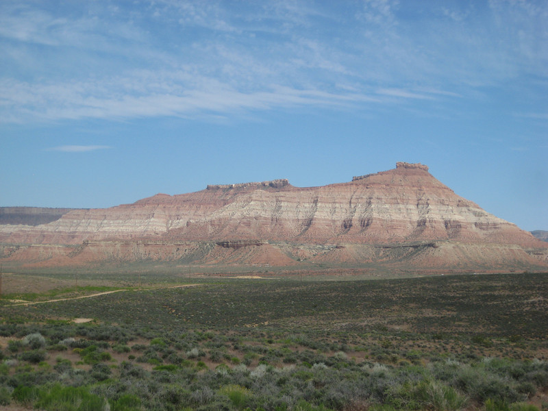
Back in Hurricane in the prevening, I set out to ride the Gould’s Rim/JEM Trail/Hurricane Rim loop again. It was a blast & I whipped out the 33 km in just over two hours of riding (less than 2.5 total) – so quite pleased with that as there was over 600 m of climbing as well (mostly a big hill at the start & then riding around the rim at the end). I also managed to cut out about the extra seven kilometres I did last time when the trail wasn’t marked very well. It started off overcast, but the setting sun dipped below the clouds – with the light breeze it made for very pleasant riding conditions. I shared the trail with a lot of chipmunks & lizards again – also a lot of nice flowers out as I whipped down the JEM trail (that’s always a pleasure, fast flowing singletrack that gets rocky & more technical in an instant).

Gooseberry Mesa – would be riding up there two days later
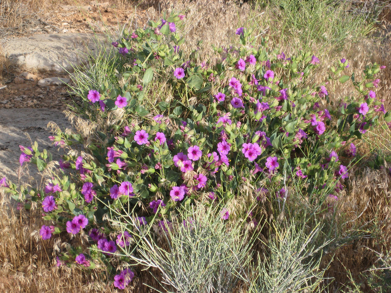
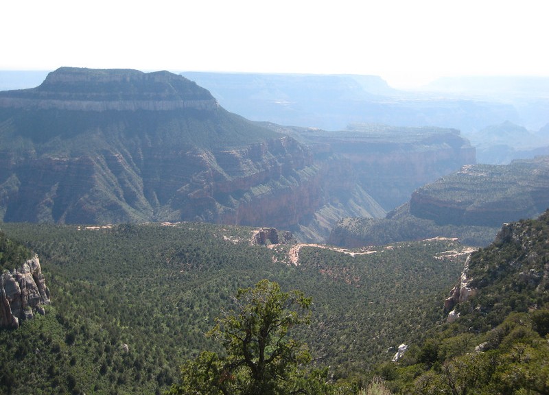

Grand Canyon North Rim & Rainbow Rim Trail

It was with great pleasure that I awoke to a lack of sound from the wind chimes – things were a lot calmer than yesterday.  We left town by 8.30 & headed west back into Utah briefly before dropping south back into Arizona & towards Grand Canyon North Rim.  Once we hit the small town of Fredonia I was back on roads I’d traveled before – the first time since Bragg Creek almost four weeks ago.  After a brief stop at Jacob Lake for me to get a forest road map & Valerie to buy more souvenirs, we were driving through the Kaibab Meadows.  It must have been cold there last night – there was still some fresh snow that hadn’t melted just yet, seems I can’t get away from the stuff.  With the long winter, all the spring growth was not completed & the meadows weren’t quite as pretty as last time I drove through – but they are a still a magnificent sight.

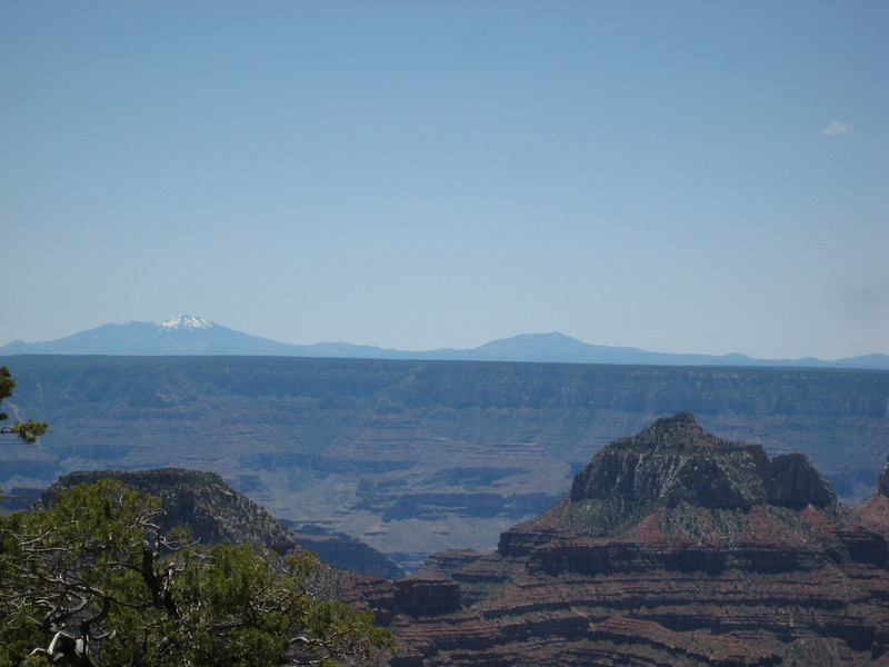
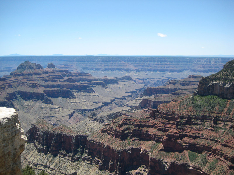
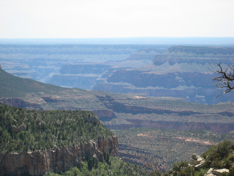
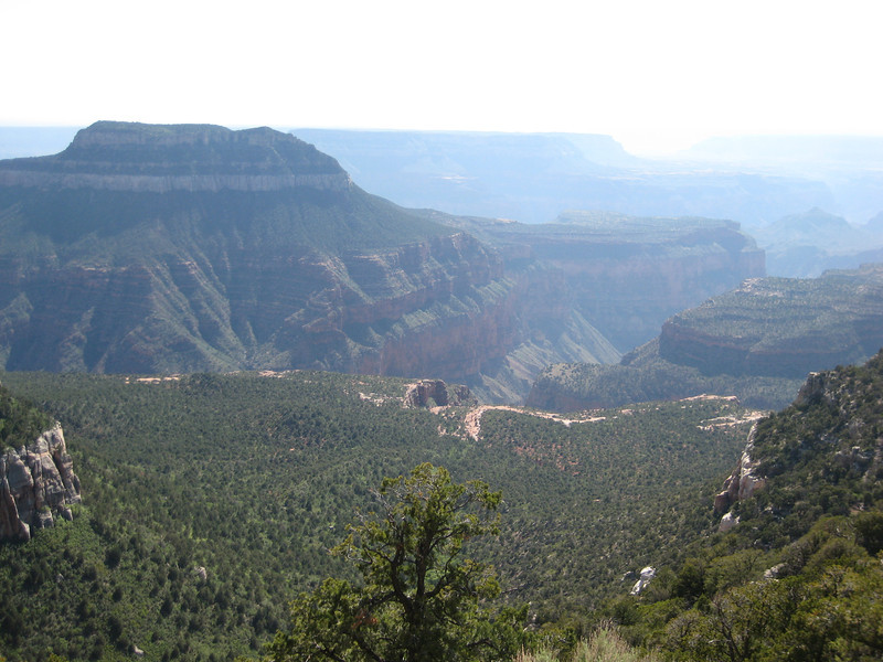
We didn’t stop too long at the rim, maybe an hour, to get a good view of various parts of the canyon.  The sky was wonderfully clear all the way down to the horizon & this enabled us to see some of the mountains a hundred-odd kilometres away – I don’t think I saw these last time.

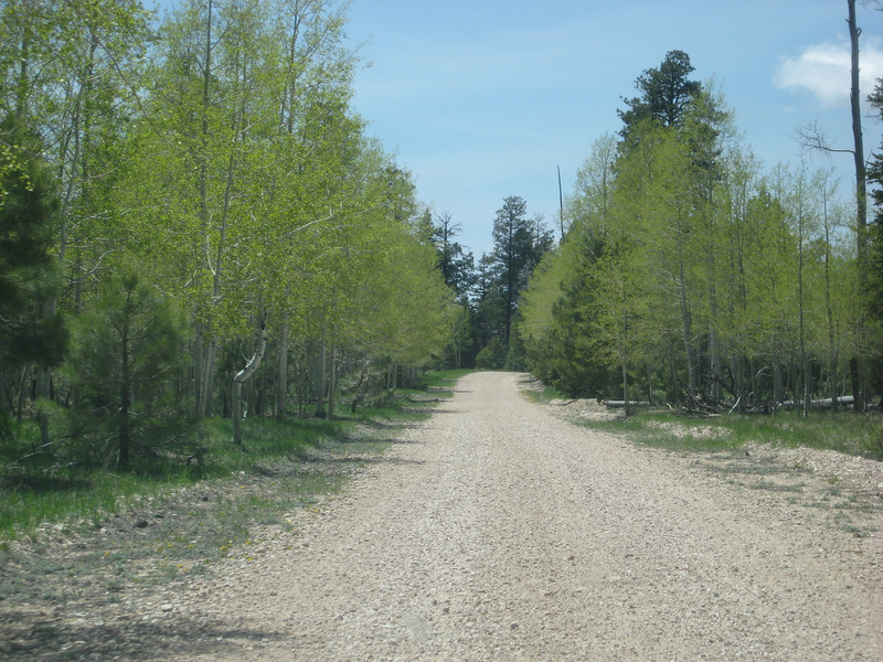
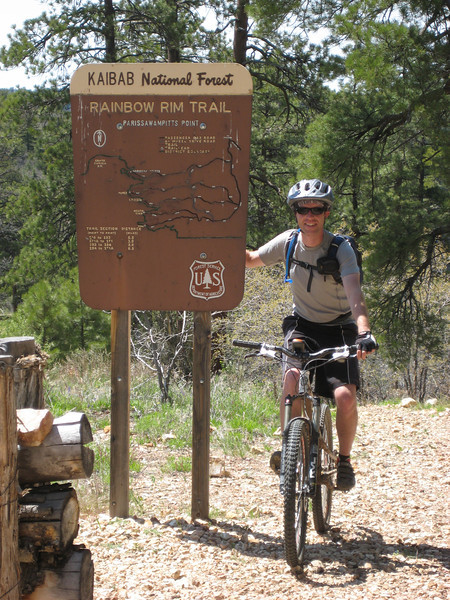
We drove out of the park & soon after turned onto Forest Development Road 22, continuing on for about 22 miles & 40 minutes to the Parissawampitts (I don’t know how to pronounce it either – I prefer Paris-saw-armpits) trailhead so I could get a ride in.

I was most excited to be riding along the rim of the Grand Canyon on good singletrack.  The trail in its entirety is almost 29 km to the Timp trailhead.  It forms a sawtooth route (roughly) to keep on a reasonably similar level by following all the little side canyons in & out.

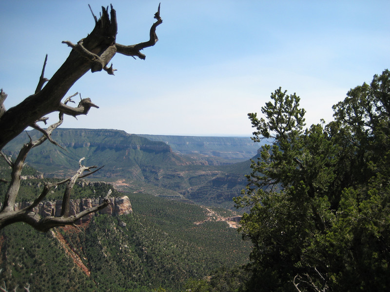
This was a great fun trail – I would grade the trail itself as beginner-intermediate level, but at the higher end of that due to the length & elevation (all between 2260 & 2270 m).  The start of it is rocky, but later on it’s mostly dirt.  You do spend a lot of time in the trees, but every so often you get a glimpse of the canyon & then all of a sudden there is a magnificent view that you can be sure not many other people ever see.  I had heard that there’s not much climbing, but there is a bit (apparently I did almost 600 metres all up) – but it’s all pretty easy (middle ring the whole time, & mostly in a small cog).  Despite having been up in the mountains for over a year, I was a just little shorter of breath than normal.  The last eight or so kilometres is great fun as it only has one decent climb in it & you can let it rip on the flatter sections.  I saw quite a few deer, some beautiful birds & flutterbys (the bright yellow ones were the best) & something that may have been a marmot. Only hitch of the ride was losing the seal on my tubeless rear tire – a bit of rest while I had to go back to a tube.  Unfortunately the smog rolled in from California & obscured the view a little in haze.

Antelope Canyon & Horseshoe Bend

After yesterday’s busy day & a slight time change (AZ doesn’t do Daylight Saving – unless you work for the federal government or are on a reservation) we had a much less jam-packed day today. Which was just as well as that horrendous wind was back. They must really be copping it in tornado alley again, or are about to.

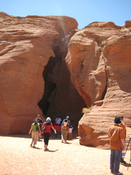
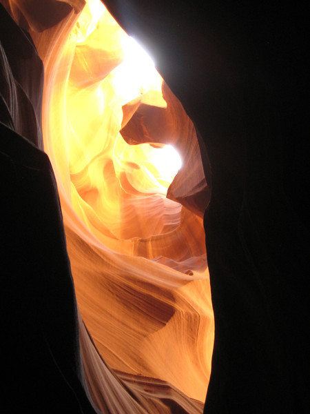
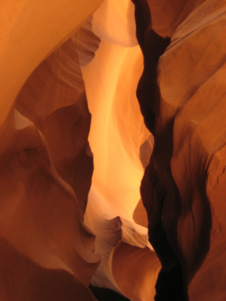
We had a 10.30 tour of Upper Antelope Canyon. Waiting around the parking lot the wind really picked up & all the sand it carried was soon stinging eyes & skin. After a ten minute drive in a Suburban up a wide sandy wash (flood water route) we were at the entrance to the canyon, at ground level.

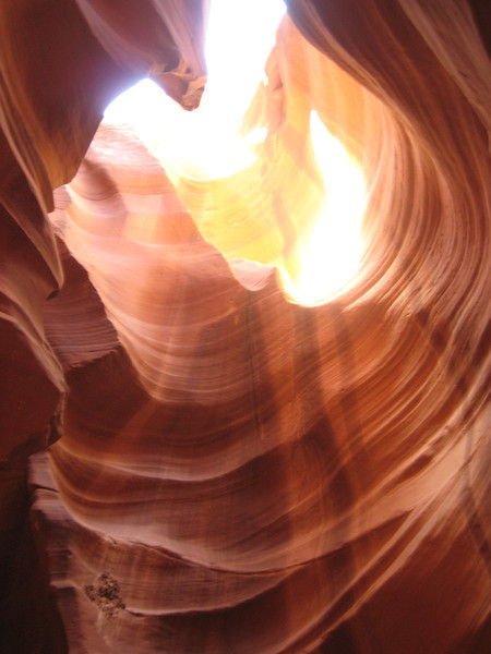
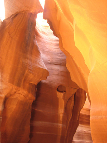
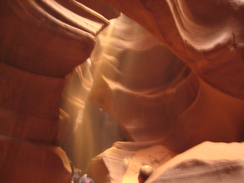
We walked in to the quite skinny canyon – it is carved from Navajo sandstone by flash floods. With the sun high enough in the sky during the summer months, there were great shafts of light peeking through from above. With all the sand that the floods carry, the surface of the stone was smoothed & contoured in really nice ways. Unfortunately, with all the wind above it rained sand on us & our cameras quite a bit. Even I managed to get some nice pictures.

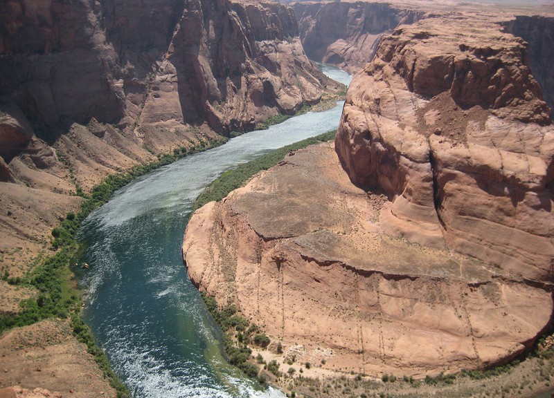
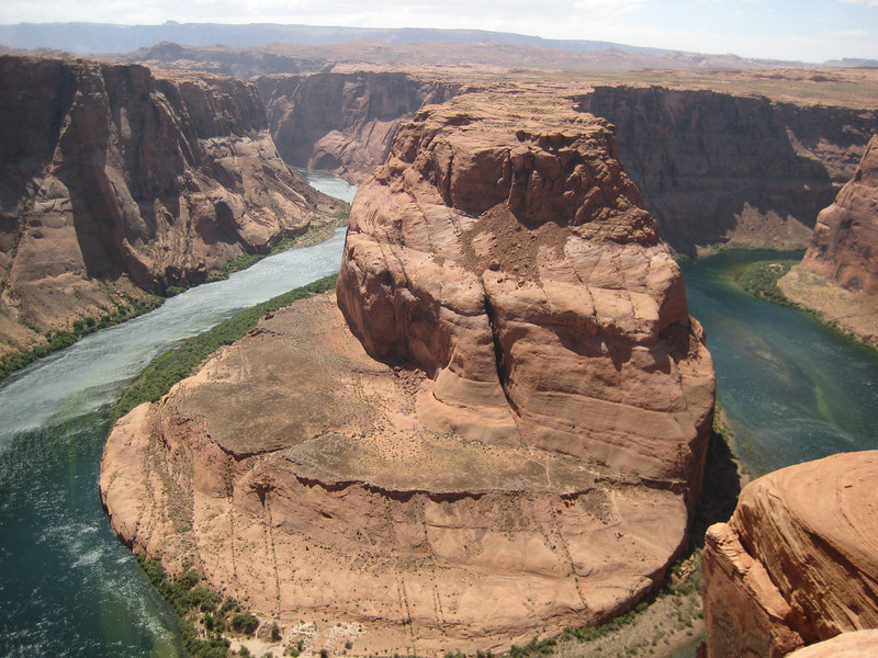
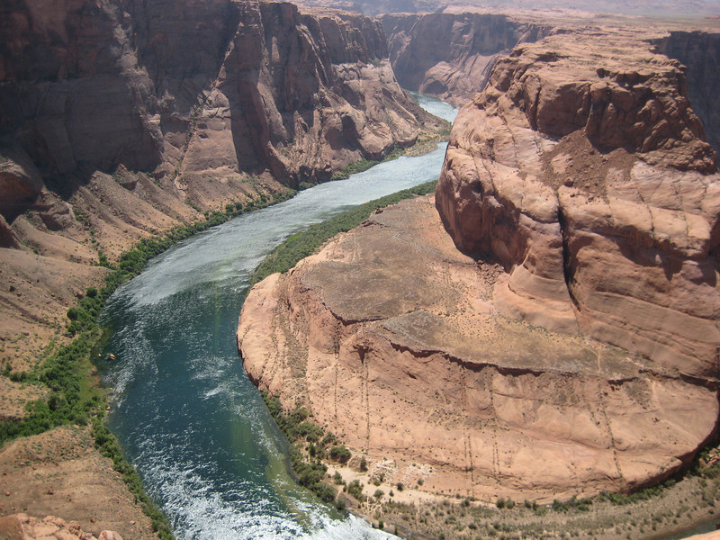
After lunch, we took a short trip out to Horseshoe Bend in the Colorado. Finally, after the sediment settling in the reservoir, the river is clear. It was even windier out here (about a one kilometre walk) & all the sand being blown around stung a lot – short, T-shirt & flip-flops/jandals wasn’t a great idea. I felt like I’d been (mildly) sandblasted & afterwards was in need of a human dedust system (shower sufficed). Still, the river was a deep green & very pretty as it made its big turn three hundred metres below us.

Wider angle would have been nice

The best thing was we didn’t get blown off the edge. On the off chance anyone else in interested in the vague route we are taking – the SPOT link at the top right of the page may interest you. I usually activate it at each new overnight stay, & occasionally at other significant places. When we sit still for a while in San Diego, I intend to compile a route map proper.  That is all, I need to develop my crazy plan of riding around part of the Grand Canyon (north) rim tomorrow & work out if it’s feasible.

Biking to go places, going places to bike.