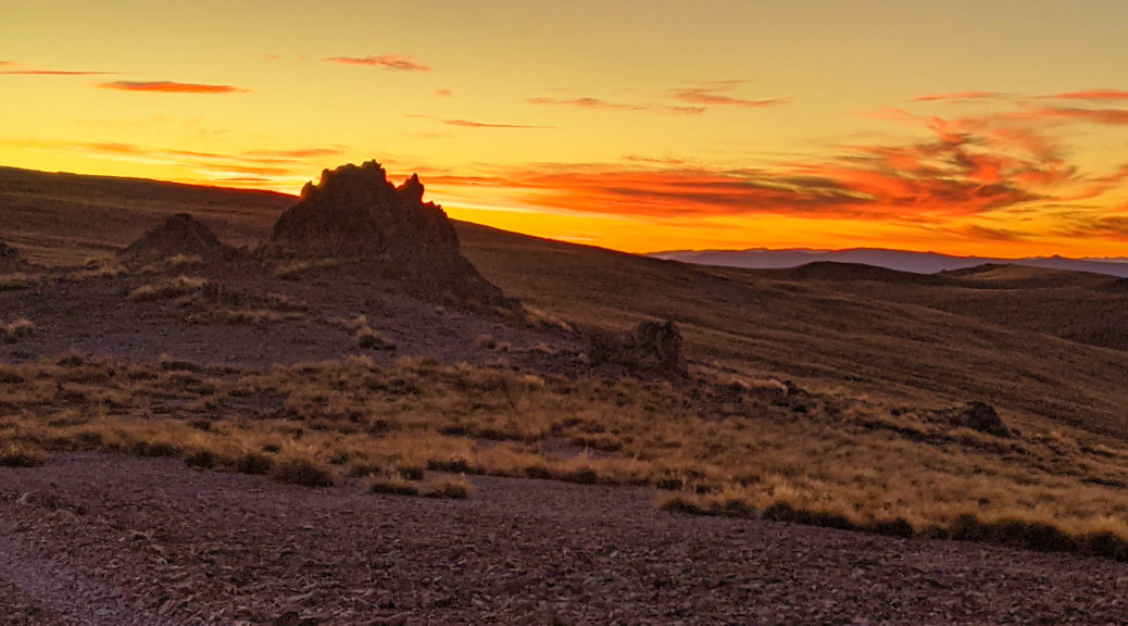
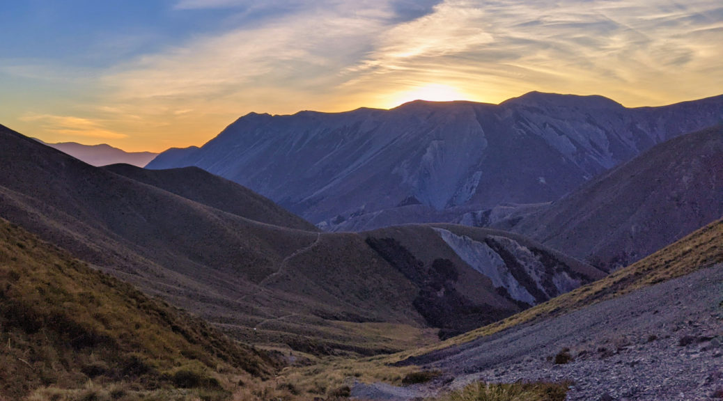
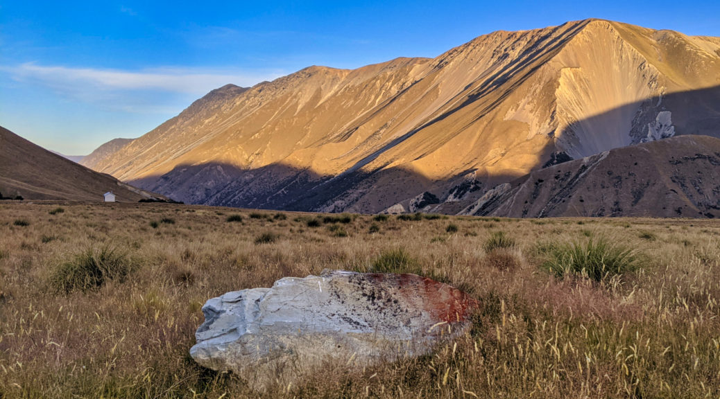
No frost this morning, but it certainly felt colder than the previous frosty night at Anderson Hut – I probably should have jumped a fence and slept in the trees. Unable to sleep, and hearing a bike roll out (one that wasn’t Olly’s, no idea who must have turned up in the night) I decamped and was rolling in the cold just after half-five. It took a little while to find some legs and warm on the undulating gravel road. Thankfully the easterly had died off overnight, as hoped and expected when choosing to camp early.
This was quite a nice section, even with some backcountry Hiltons that may have been warmer than the campground, and I enjoyed seeing the day dawn as I trundled through. Seeing a bike ahead, I was surprised to chase it down quickly given my sedate pace. It was Andy, smiling away – which is incredible considering he’d had a big crash off Cass Saddle and added to his already long list of mechanical woes. Additions included ripping a brake lever off, destroying his rear derailleur and burping his front tyre. I couldn’t believe that he was still riding his bike, but here he was – and doing it all with a big smile. The smile possibly from being still moving after all that; impressive.
 Brief pause for a snack at Dog Box Corner, before the early morning traffic of school buses and trucks.
Three hours in and the big gravelled drop to the Rakaia River on the pleasingly-named Zig Zag Road, before the grovel up the other side.
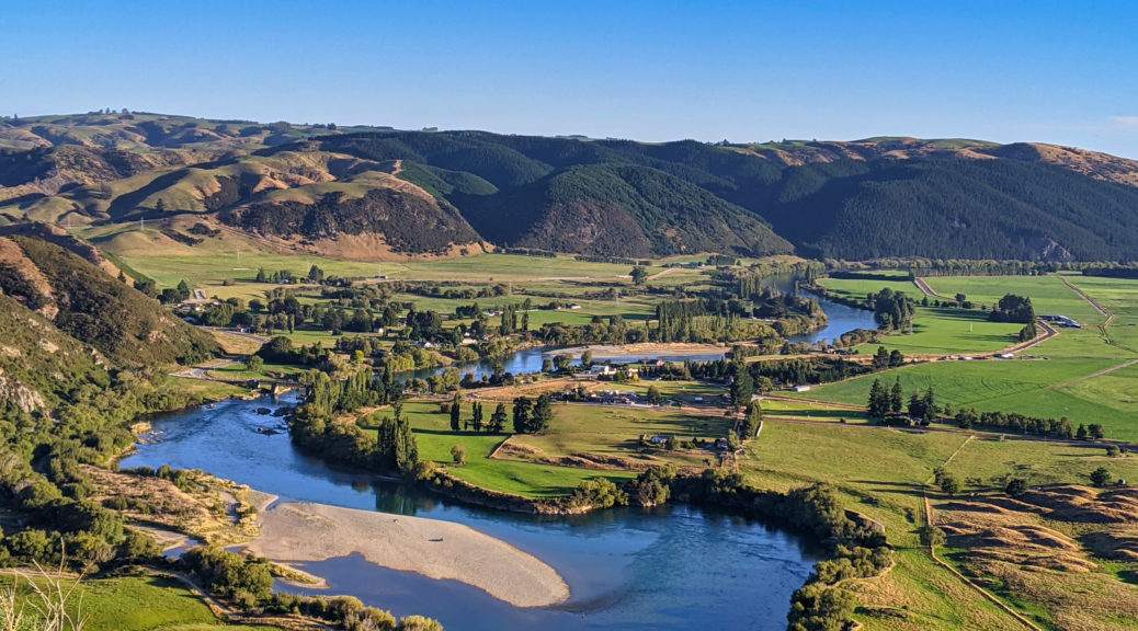
 Rakaia Valley.
 Over the river to Mt Hutt Range.
Turning south off the highway, it was an easy twenty minute gradual downhill to Methven, the first town in three days – exciting! The bike shop (only one on the entire course) was right on a corner in the centre of town and there was an excellent cafe next door. I may have had two breakfasts, the first by myself while drying my sleeping kit on the sunny sidewalk in the centre of town. Other riders arrived; to our amazement, the bike shop had all the parts required (including some fairly niche ones) to fix Andy’s poor bike – and at a very reasonable price. With another long stretch between towns, I loaded up on food at the store and got a big lunch to go from the cafe before making to leave.
Mark, who I’d been half a day behind for most of the week, surprisingly was still in town (nursing a severely inflamed achilles it turned out) and managed to hobble down and see some of us for a bit. So a rare photo of me mid-race, looking surprisingly happy and good – if I do say so. Farewells bidden, it was off for the flat section of the Canterbury Plains in the heat of the day.
 I must have had a lot of food, as backpack still in use for a long, hot road section.
Photo: Mark Watson (check out his TTW report for far better photos and conciseness).
While flat and not a particularly interesting landscape, it was just what I needed between two challenging two-day sections of the course – I quite enjoyed the respite of gentle riding through farmland on a mixture of gravel and seal, especially with little wind.
Crossing the Rangitata, I devoured my large lunch before turning north to head up the right bank for almost-sixty kilometres. Early afternoon now, it was certainly warming up. I wasn’t expecting any shops up here, but lo and behold a small cafe at Peel Forest; would have been silly not to stop for an ice cream and cold drink. By the time I got to the only hill of note in the road, it was a baking afternoon. There was at least a topdressing plane buzzing around for distraction. I was getting a bit low on water, so was pleased to see a big creek coming out of the only part of the hills that didn’t looked to be grazed – time to top up, and soak my shirt again.

Over that hill, it was back to the gentle and gradual ascent of the wide valley. Into the late afternoon, again the easterly really picked up – lovely to have a big tailwind for the last part of the road. I narrowly missed getting stuck behind a large traffic jam of the sheep variety and entered Mesopotamia Station about half-five – plenty of daylight left to get back into hiking, on what was shaping up to be a lovely warm evening (it was still very hot at this stage).

 Southern Alps in the background.
 Leaving the road, Ben McLeod Range behind.
Sharply climbing from the river flats and so warm still after a day in the sun, the extra energy required soon had even my shirt off (as well as helmet, gloves, hat) – a truly rare occasion, there certainly was no one around. Royal Hut seemed a bit much of a push, but I thought I could get to Felt Hut for the night – about twenty kilometres and nine hundred metres of climbing on rough farm tracks away.
With that settled in my mind and so much light remaining, there was no rush; looking around it was a tremendously beautiful evening, so still and warm with the light starting to draw in. Most of it I could have probably ridden, but I was more than happy to push through the deer farm soaking in the evening. Each further unfolding of the panorama both behind and below me, and in front and above me, was to be savoured.
 Some shade for a brief moment, Sinclair Range behind.
 The Ben McLeod Range continued to draw my attention, especially as the sun dipped lower.
 Snake from a plane, Potts and Big Hill Ranges in the distance across the upper Rangitata.
The first and biggest section of climbing took a couple of hours, eventually it cooled enough as the shadows lengthened to reach me to start putting some layers on. I was still happy to walk, although I noticed a tweak in the lower outside of my left leg. This would soon spread to a tightening across the front of the ankle and upper foot. Walking became a little uncomfortable, but easily manageable. I particularly enjoyed seeing the terrain from the ground – after we’d got a good look at it from a few thousand feet on the way to the GSB.
 Flattening out a bit on High Terrace.
 Fun, fast descent to Moonlight Creek – and beyond.
 Spot the airfield hut. My favourite range of the day keeps going and keeps giving.
 Down at the airfield, ish.

 A brief section of beech forest.
Out of the woods, the climb to Bullock Bow Saddle commenced. It was steep alright, but the Felt Hut turn-off was only a third of the way up – the rest could wait until the morning. The track was still rough, and this was about the only time I really noticed my recently dislocated shoulder in an adverse way. As I tired, my footing was not always found and while pushing the bike a slight jolt from stumbling on loose or large rocks would tweak my shoulder just a little – enough to remind me of its inherent instability, but nowhere near enough to tear it apart again. Just another little thing to be managed on this journey.

The last deer gate (there had been many) approached as the back boundary of the farm neared. Initially this gate was certain to be locked – getting a loaded bike over a two metre gate singlehandedly would be enough to worry about without the shoulder complication; but later course notes indicated there was a chance it would be unlocked for us. Mentally, I accepted that it would be locked and I’d spend some time getting gear and bike (in various pieces) over the fence; so it was a great relief to find no lock on it. Over a small spur, it was downhill to Felt Hut – I just had to find the correct track.
It was a bit more of a descent than I would really want to reverse in the morning, but I was pleased to get down to the hut just on sunset. A private hut, it was open for use and was a complete delight; the decades of mustering history were inscribed on the corrugated walls set in a clearing in a nice patch of bush, with a great stream running nearby. Refilling water bottles, I also took the chance to soak my aching lower legs for as long as I could tolerate the cold water. To my surprise, Olly arrived only twenty minutes after me; while I’d like to think he caught far more of the tailwind than I did up the Rangitata valley, he was definitely faster than me and able and willing to ride far more of what I walked. Still, I was by no means complaining as he soon had a fire roaring in the hut.


 The earliest roll call of musterers I found was from the early sixties.
Having another early finish was quite the luxury (as was managing almost 200 km for the day) – pushing over Bullock Bow and onto Royal Hut may have been a bit much. Also, I got time to reflect on an absolutely majestical evening. The stillness and solitude on such a warm and beautiful evening was the highlight of the ride so far – those three hours more than made up for all the toil in the previous few days, it was amazing. It still remains my favourite part of the route, and I’d happily put in eight days of such effort again for anything as spectacular as that night. Toasty in the hut, I fell into the best sleep I had on the ride – even with Matt arriving at the hut at about one-thirty in the morning.

 I was particularly pleased with this.
 Fibre coming in 2121.
 Olly and Matt on the last stretch of flat road for the day.
 Finally at the reservoir, a chance for shirt soaking.
 It was vast, but at least tracked so there was no pushing required.

 The road down to Lake Onslow and then stretching out behind up more hills;we’d end up riding a fair bit of that ridge right to left.
 Unfortunately, we ended up taking that road up and down to the lake – instead of the flat one around the lake edge.
 I pushed a fair bit of the steeper sections of the climb beyond the lake, still fascinated by the light play on the folds of the hills.Nice to see it in more light this time.
 We did wonder if we’d have to ride every track in this photo, but no – we were spared that fate.The following day’s terrain stretching into the distance.

 The long downhills were enjoyable!
 Across the Clutha to Beaumont, where the pub and dinner waited. Nice evening for a ride, again!
 Matt and Olly rolling down to food.


 Not a lot in the Pukaki River.
 A reminder…
 Benmore Range.
 A more distant perspective of the Ben Ohau Range than the
  It was worth turning and looking behind every so often.
 Turning south, the final stretch of riverbed-like road felt the worst by far –was probably all in my head as it seemed as though it should be a short, easy section.
 Lake Benmore appeared, as the Hawkduns loomed ominously in the background.
 Down to Otematata; back when my parents had a holiday home here I could never conceived I’d be doing something like this – riding my bike used to be a lot easier! But significantly less rewarding.
 We didn’t stay high for long, soon dropping most of the recent altitude gains into the valley on the left. Hawkduns still looming large behind.
 At least the sudden loss of all that height brought us back to a river, the Otematata – more rehydration and shirt soaking for the next little section upstream.
 Chimney Creek and the just-discernible start of the climb
 Lovely still evening for views – south-east there was the Ida Range, and even the start of the Kakanuis to spot.
 Back north across the Hawkdun tops to the Benmore Range and well in the distance the Southern Alps were clearly visible.Cracking evening.
 Ample distraction from all the rocks!


 Easy surface to start.
 Ben McLeod Range grabbing my attention for one last time; the last descent of the previous night clearly visible, Fern Hut is down in that patch of forest.
 Getting steeper; with fresh legs I’d have enjoyed trying to ride this sort of thing.
 But not a chance of trying at that moment.
 Halfway up, spot the rider/pusher.
 A bit short of two hours of pushing, a pause to snack and take in the views of the Two Thumb Range opening up.


 This was about as much of a track as there was for the early part, constantly crossing the stream did keep feet cool and gave ample opportunity for soaking clothes as the day heated.
 Most of the time, the next pole could be seen – but many times it was just guessing the best way through the tussock.
 The creek valley narrowed, and got rockier; we kept close to the stream through the guts of it.
 Sometimes there was a bit of scrambling to be done, always fun with a bike.
 Sometimes (regularly) I had a rest – especially when the surface started looking like this.
 Times like this it was a toss up between the big tussocks and not being able to see the uneven surface below (by now, both lower legs and ankles were very tight and sore – manageable but noticeable) or big rocks that moved more than one would expect.
 About halfway up, looking back at progress and definitely not looking at the gradient pitching up ahead.
 Climbing a bit more steeply, I could finally see Matt, Andy and Olly picking their paths up.
 Wasn’t all toil on another gorgeous and still day in the mountains. Again, I could have been at my desk…
 It flattened out a little before the final push to the saddle. The best path to take became even less obvious. Fascinatingly, the flora changed again.
 Almost there, the last little bit of foliage.
 Not far now!
 Made it! Lake Tekapo beyond.
 Matt.
Matt. Andy.
Andy. Olly.
Olly. I don’t remember doing this at all, but there it is – my little bike in front of the Southern Alps.
 Hard not to enjoy this.
 Camp Stream Hut, after which we dropped to the eponymous flowing water and bashed through the stream, walls of matagouri and more tussock.
 One of the steeper pieces of trail (as opposed to no trail), it seemed to have a tenuous grasp on the terrain – there wasn’t a lot of room between a person hauling a bike and peril.
 Not quite nightmare material, it still looks plenty steep without being able to see the trail
 Was worth the wait, didn’t last long.

 Brief pause for a snack at Dog Box Corner, before the early morning traffic of school buses and trucks.
 Rakaia Valley.
 Over the river to Mt Hutt Range.
 I must have had a lot of food, as backpack still in use for a long, hot road section.

 Southern Alps in the background.
 Leaving the road, Ben McLeod Range behind.
 Some shade for a brief moment, Sinclair Range behind.
  The Ben McLeod Range continued to draw my attention, especially as the sun dipped lower.
 Snake from a plane, Potts and Big Hill Ranges in the distance across the upper Rangitata.
 Flattening out a bit on High Terrace.
 Fun, fast descent to Moonlight Creek – and beyond.
 Spot the airfield hut. My favourite range of the day keeps going and keeps giving.
 Down at the airfield, ish.
 A brief section of beech forest.


 The earliest roll call of musterers I found was from the early sixties.