Needing to ensure that the short section of beach riding required for my planned route was actually rideable was the basis of the weekend’s scouting plans. A few different options presented to kick-off the Hawke’s Bay Anniversary Tour and get to the beach. In the end, I decided to stick to keeping things in Hawke’s Bay and planned to check out the first hundred kilometres – none of which I’d ridden before, and only slightly more I’d seen from a car. It looked good on maps! Initially, the forecast looked good for more mid-winter camping – but westerly gales put the kibosh on that idea. Putting a tentative call out, I found others willing to join me on my debatably-mad scheme (all a matter of perspective, seemed perfectly reasonable to me).
Meeting in Waipawa at sunrise, the first objective was to find a suitable start point for the event.
 This bandstand will certainly do.
With Josh (returning from a very rare few weeks of, injury-induced, inactivity) and Marek (returning from a month visiting back home in Poland, and little riding, and never having ridden close to the proposed distance) assembling – why wouldn’t we have a grand day of riding bikes?
It promptly started to rain, and the westerly continued to whip around us. Rain gear hastily donned and we were off through the few deserted streets, crossing the Tukituki bridge and finding the cycle trail to take us off the highway. It was a bleak soaking inauspicious start, but there wasn’t that much rain in the forecast so we grinned and bore it through Waipukurau.
Leaving the main road again, we cut south through flat farm land. The rain slowly eased as the gradient equally slowly eased us up. For early August, there certainly were a lot of young lambs bleating as the rain fell. We quickly got the idea that cyclists are few and far between up Hatuma way as we were quite the novelty for resident cattle – a curiosity-fuelled stampede was narrowly avoided. As the rain ceased, we got the first sign of a shadow around nine as we finally hit a climb to warm us. Gravel was reached for a fun drop down in to Flemington – which seems to consist of a country school, a playcentre and little else.
 Another rainbow? That’s just getting greedy as the rain left us for the day.
Briefly back on seal, a long straight was only interrupted by stopping to close a broken gate, and snack. It must be said that the mob of cattle behind the wide open gate were very well behaved and not all over the road. Surprised to see a polo field/paddock near Purimu Lake (we missed the golf course), the anticipation of heading up Ugly Hill Rd was palpable. I never did work out what was so Ugly about it, the climb and views were anything but. Some pleasant undulating ridge-riding deposited us in Wallingford and a few kilometres of Route 52 led us to the gravel of the similarly imaginatively named Old Hill Road.
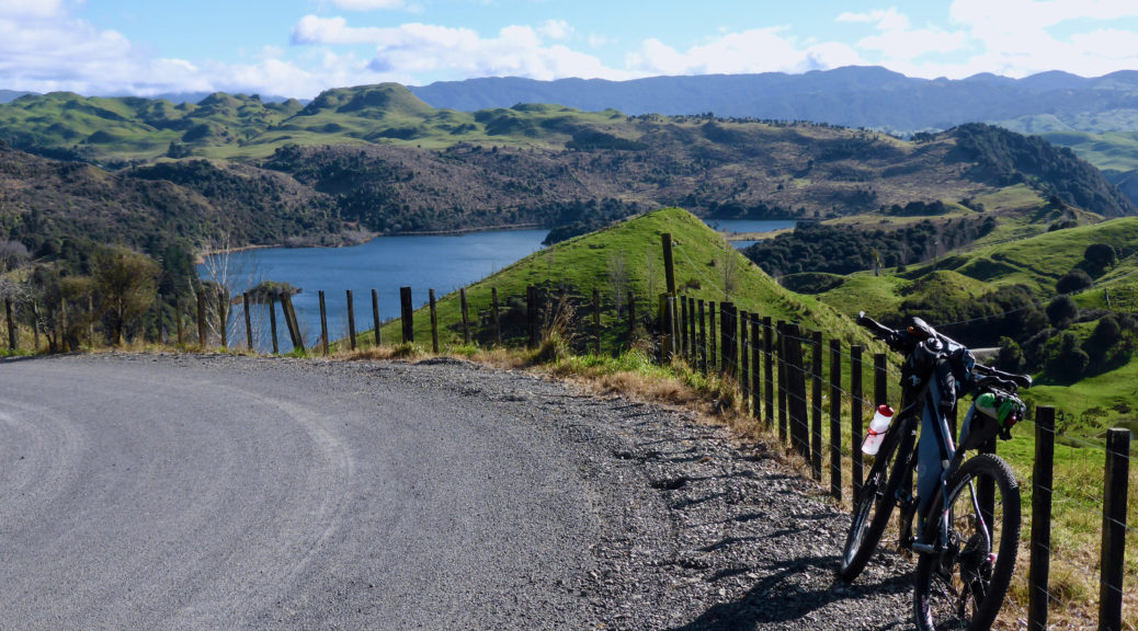
A more direct, on the map, route to Porangahau said hill was clearly the reason this was not the main road and remained unsealed. We climbed and climbed, all the while getting close to Porangahau – which I knew was down at sea level. Surely we must stop climbing soon…
 Time for another snack stop, looking north and attracting the inquisitive farm animals again.
 The coast appeared, finally, after many hopeful glances east.
All the while the westerly continued to batter us from the side. Up on the ridge, there was nowhere to hide – large shelter belts were ineffectual. The descent was a screamer – dropping 250 metres in two kilometres. If that wasn’t exhilarating enough, rounding one right-hander we were broadsided by the full force of the wind. Exciting times, especially with a frame bag, come sail. I rolled into town thrilled with the morning’s route and the roads we’d found. The start of the route was promising, even if there was a very easy thirty kilometre warm-up.
The small village exceeded all expectations. The store had delicious homemade pies (I restrained myself at one) and there was a delightful coffee cart in the garden next door – I’m told the coffee was of a high standard, the muffins I can vouch for. Seventy kilometres into the day, refuelled and slightly rested we chewed off easy flat kilometres with the wind pushing us along parallel to the coast. That’s the good thing about loops, provided the wind stays constant – it all balances out, eventually.
Come noon, Blackhead Rd was joined. Marek shunned the easier option of sealed and relatively flat roads back to Waipukurau – keen to see the beach and the objective of the day, no doubt. I was secretly pleased as if he got that far, he may as well complete the ride with us as the alternative would have been neither here nor there in terms of easier length and hilliness. We were back on quiet gravel again. That is, “quiet” being zero traffic, compared to very little. Sidling coastal plains, the farms were windswept and just looked exposed and hard work.
 Pleasant riding in the sun with the wind behind us.
 Over a little rise, we spied Blackhead Point. The beach is further up the coast and we contemplated the path the road would take to get through or over the hills.
The shingle mostly took us between the hills, but we did eventually climb to about a hundred metres and joined another road back to town. We were but two kilometres from the beach. Josh and I were just persuasive enough to convince Marek to stick with us, see the beach, click over his first 100 km ride with us and we’d get him home somehow – the big climb and headwind may have been glossed over.
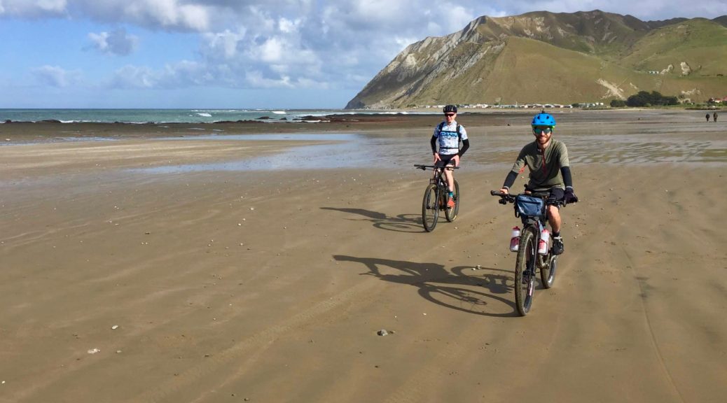
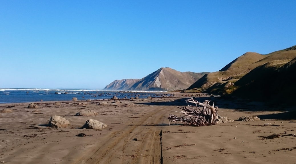
Having ridden in on so much gravel, Blackhead Beach certainly felt remote and I wasn’t expecting more than the handful of holiday houses and campground that we found. Having serendipitously timed our arrival half an hour before low tide, the beach provided perfect riding conditions. With that tail wind, the hard-packed sand was far faster than we expected/feared. We flew up the beach.
 Grin inducing, in fact.
 Marek, and we, celebrated his first ever 100 km ride. A top effort.
 Much fun was had.
Reaching Pourerere, ten easy kilometres of beach riding was over and we paused for refuelling and to redistribute loads. I helpfully consumed a huge sandwich. Threats of being deposited in a ditch if it was more than the promised thirty-odd kilometres back to Waipawa hung over my head as we departed. A steady pace over half an hour swallowed up the three hundred metres of climbing away from the coast and gave us plenty of hills, coast and ocean to look at. Another hour of tending down, battling the wind and the odd climb took us over the Tukituki again (downstream of the morning’s crossing) and changing our heading for the final stretch home.
As the long day started to tell over the final few kilometres, the wind eased and a large rain cloud loomed ahead of us – would we make back dry? As I’ve already spoiled that, yes – we did. All pleased to see the cars again, and hopefully I can speak for all in saying that it was a great and satisfying day. Most excellent to have good company join me in trying winter conditions, and successfully put a little more of my route-puzzle together.


 It’s odd being on the other side of the large bay from where one lives and seeing things from a different perspective.
 Looking, over Mohaka Township, to the south of Hawke Bay and Cape Kidnappers on the left, Napier is in the background on the right.
 Back to the Mohaka and its eponymous viaduct. Riding through this area one begins to see why it took
  I reached the ridge and the gravel returned – in good condition it was too.
 Flat-deck Transit, anyone?

 Another section sufficiently steep that it had been sealed.
 Not a bad outlook for one’s primary education.
 That distraction over, the rest of the climb awaited; now with the gentle breeze behind me.


 Mahia Peninsula looking closer than normal – I’ve still not made it there, but hope to finish the route there. Prime Rocket Lab launch viewing spot up here too.
 An unusual sight in the bike shed that garnered a few comments.
 Saturday morning and I could finally see, and wander down to, the river.


 Back towards Pourerere and the Pacific.