I spied the Macraes to Ocean ride some months before I was due to finish working in Napier on the pulpmill’s Cyclone Gabrielle rebuild. Conveniently timed the week after my last day, it was a good incentive to not prolong the journey home too much. In an area I became familiar with when I returned from living abroad nine years ago (parents had moved nearby; also I was getting into bikepacking and riding in more remote areas), this fundraising ride would show me some new places as it involved access to two large farms. That the ride was fundraising for a cycle crossing of the lower Waikouaiti River (would be most welcome, the highway bridge is nasty on a bike) sealed it.
Grateful to Adele for a drop-off in Macraes village we were not sure what to expect; we arrived to scores of bikers milling around. Having been home just a day, my only serviceable bike was my gravel bike – I thought I, and it, would cope on farm tracks, gravel roads and then be glad for it on the last fifteen kilometres of sealed road. To our surprise, there were about 150 people ready to ride on a fresh, clear morning. Ninety-nine percent on mountain bikes, I’d say about half were on e-bikes – which was great to see as it opened up what would be an adventure for far more people. We were pleased to see some unexpected Naseby faces to chat with.
Happy, as usual, to linger at the back the crowd set off, stretching out along a straight, gently climbing gravel road. A new place, there was a new part of the landscape puzzle of the local area to fit in one’s mind. Rocks aplenty in the fields.


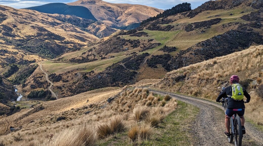
Off the road and onto farm tracks, a short downhill was fun to blast down before a longer climb led to an hour or so on fairly flat terrain with expansive views west to the Rock and Pillar Range. It was so vast, there was little point in trying to capture much on my phone – so I enjoyed the views and chatting with obvious-bikepackers, we seemed to gravitate towards each other. A fast section through fields of turnips soon gave way to a steep descent – much fun bumping and barrelling down it and past plenty of people. A short climb brought us to the feed station – very well put on as another fundraiser, this time by a local junior rugby club. Community events are great.
This was a good time to pause, chat and admire the landscape. I was pleased to discover we were very close to one of my favourite gravel roads – Ramrock Rd (not just because of the name), one I’d enjoyed riding bits or all of years ago.
 Our track continuing across the hill behind the hut.
 Food time.

Back on the bike, it was mostly down and became progressively steeper (this hill we were warned about at the briefing) to the El Dorado farm gate and buildings.
 Down to the north branch of the Waikouaiti, and the end of Mt Watkin Rd – no new terrain for me from there. Mt Trotter in background, the road of the same name didn’t quite take me to its upper slopes a couple of years back.
A twenty-five minute grovel up from the end of the road showed up my lack of fitness, I was pleased to have plenty of gears and easy-rolling tyres. The highpoint being going past Mt Watkin, amusingly the only time I wished for a mountain bike over a gravel bike was on the next section of gravel road! A long fast, extremely corrugated descent shook me up far more than any of the farm tracks.
 Down to the Waikouaiti outlet at Karitane, left of shot.
Across the highway, soon through Karitane on Coast Road the steep climb at Puketeraki the last remaining challenge before the gentle ten kilometres to finish at ARC Brewery with a few dozen riders – most others opted for the shorter option, ending the ride at Waikouaiti.
 Always worth stopping at the turnout at the top of that climb.
A fun outing around lots of people, it was good to chat a bit more in the warm sun. I was surprised when Tom came up and said hi, I’d not ridden with him since meeting him a couple of years ago as I joined a group of people I didn’t really know to ride the Lake Dunstan Trail for the first time.
With casual remote working for the rebuild project ending last week (officially unemployed again, huzzah!), here’s hoping I can return to writing a little of recent modest outings, get some condition back and go on some bigger trips.


 The remoteness of the region means we see helicopters responding far more than in urban centres.


 Got to stay in this restored hut that we’d
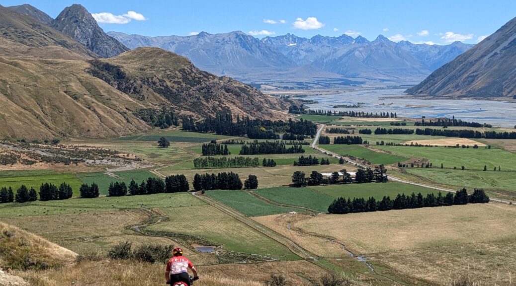
  Dropping down to the Rangitata –
  Far enough up the river to safely cross the Rangitata.
 Unfortunately, a mechanical early on the third day meant I sat the fourth and final day out – but that held less interest for me, so I wasn’t too put out.
 I’d have never thought the Esk could burst its banks to flood my former workplace with over a metre and a half of water and the accompanying debris and silt.
 Heading out onto Manapouri.
 I did manage to do a little exploring of my own.
 Transition zone set-up.
 Old and new steel.
 Out at Portobello for Mothers’ Day.
 There used to be a bridge there.
 St Bathans Range peeking through.
 Back to Lauder Conservation Area up on the Dunstan Range, as well as Dunstan Peak.
 Heading for Goodger Rd. Andy’s pic.
 What’s another twenty percent gradient push…? Andy’s pic.


 Following the Lindis down for a bit.
 Wasn’t hard to spot our climb to the top of Little Breast Hill, some nine hundred metres above us.
 Through the gorge, contemplating that track and its gradient. Andy’s pic.
 Lush spot for a hut! Very tidy it was too.
 May have even managed to get on the bike for that zig. Andy’s pic.
 North up the Timaru River valley.
 West showing a fair bit of lumpy ridge riding to join the Te Araroa trail as it heads to Breast Hill.
 More pushing beyond the locked deer gate – thankfully I’d picked up the key afternoon before.
 Despite being on the ridge, the hills didn’t seem to be getting any less.
 Shortly before the climb up to Breast Hill summit; thankfully we turned south onto the Grandview Ridge track. Hawea and the edge of its lake on right; over to Wanaka, its lake and surrounding mountains.
 Looking from the north along the top end of the Grandview Ridge track – we were heading that way.
 Lake Hawea a much darker blue than I’m used to seeing.
  Oh, there’s the track from Hawea up to Grandview Mountain; which curiously is lower than the part of the ridge track done.
  Back along the ridge and Lake Hawea. Making some progress now, still very undulating – to put it mildly.
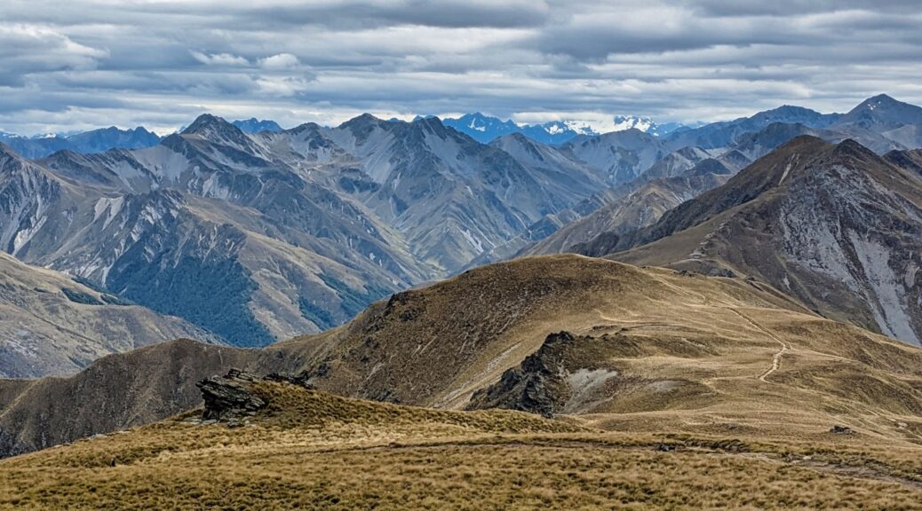
 East over tomorrow’s terrain, and the Chain Hills, Dunstan Pass, beginnings of Dunstan Range, St Bathans Range and right at the back – Mt Ida, which I can see from just outside my house where I sit typing away here. Fascinating.
 Then the surface deteriorated to the toughest all trip. Oh.
 Probably a more accurate depiction of the twenty-plus percent. Andy’s pic.
 Up the Clutha to Wanaka.
 Down the Clutha to Lake Dunstan; Dunstan foothills on left, Pisa foothills on right.
 Over to more of the Pisas, this time next week…