With a bit of unfinished business from not completing the Easter Eastern Loop, another shoulder-season long weekend seemed perfect opportunity to complete it. I had planned to do so in a few weeks’ time as part of the Mega Gravel Grind event, but find myself with insufficient leave. Pete decided to join me so far as Rotorua; meeting at work, we drove north to Wairoa, locked the car and left in search of supplies for the remote section the following day.
 A pair of SIR9s ready to leave Wairoa.
Cloudier than expected, the threatened rain didn’t come to anything, and the southerly pushed us on our way north out of town and past Frasertown.
 We followed the Wairoa River for an hour or so through sheep and beef country.
While a sealed road, with next to no traffic it was most pleasant and with a couple of climbs we made good progress to Tiniroto. I’d phoned the previous day and made sure the pub would be open. They stayed open just for us, even managing to rustle up homemade pies and hot chips. The community centre was even available for us to sleep in. That is how we found ourselves sleeping in a play centre adjoining a village hall.
 The large hall looked perfect for a three-wheeled race circuit.
 Sleeping quarters for the night; I could brush up on my ABCs and traffic awareness.
Quite cosy inside, we didn’t realise it was frosty until departing the following morning. Is it even worth keeping a pie tally? I had my fourth of the trip for breakfast.
 Would stay again. The sun just starting to make it over the first-thing-of-the-day climb.
The three kilometre climb helped us warm up; losing more altitude than we’d gained did not. Extremities curled and numbed, our gloves and socks better suited to the weather that was forecast for the rest of the weekend – sunny, still and warm spring days.
 Finally the sun hit us; generally not whizzing downhill helped alleviate the chill in our digits.
The familiar climbs and descents continued as we zigged and zagged east and west, slowly making northward progress through farmland – only stopping once to let a mob of steers be driven past us. It feels most rude to be out riding bikes and holding up people going about their work. I particularly enjoyed the Waikura valley back in April, this time was no different. What was different was the incredible number of kowhai in their bright yellow bloom. Quite used to seeing one or two of these native trees in flower, this was on a scale I had not seen before – fantastic.
Finally we were on a gravel road, and pleasingly it did not have the sustained patches of fresh, uncompacted drudgery and toil that I remember from Easter.
 This view was as good as last time.
Switching to following the Hangaroa River for a while led to mild climbing, and then a bit more heading north to the next valley – the Wharekopae. We did spy one of those brilliant golf courses in the middle of nowhere – where the chief turf control experts are someone’s ably employed flock of sheep.
A brief stop at Rere School to have first-lunch and fill bottles plonked us on some seal to Rere Falls.
 This was about the only place I saw multiple people last time; this time – not so much.
Past the Rere Rockslide, the road reverted to gravel and the climbing continued with only brief respite as we rose five hundred metres or so.
 But with skies and views like this, the climbing was easy-going.
Crossing the watershed we joined the headwaters of the Motu, State Highway Two briefly, and then made it to Matawai to refuel and restock supplies.
 Down the road a bit, Motu village had an open cafe! Just in time before closing for more ice cream and cold drinks.
 Motu village sights
A fine forty minutes of climbing took us up the Motu road and over into the Bay of Plenty. Losing some of that height, we rolled down the road to the Pakihi Track trailhead. At five in the afternoon, we figured we could get out of twenty kilometres of singletrack through dense native forest before dark – that the first half was markedly downhill and the second half gradually down helped our estimation.

The trail was in perfect condition and we had much fun. Halfway down I learnt valuable lessons of what spares to take. Slashing the sidewall of my rear tyre over rather innocuous (or so they seemed) rocks, I couldn’t seal the tubeless up and it turns out the tubolito spare tube I was carrying was rubbish. Thankfully Pete was better prepared and borrowing one of his tubes, I didn’t have to face a ten kilometre walk out. Taking things a bit easier, we made it out with about an hour of daylight and twenty kilometres of easy roads to Opotoki remaining.
After filling our bellies at a popular local takeaway shop (it may have been the only one open in town), creature comforts proved too tempting and we found an old hotel that would let us store our bikes inside. My first two-hundred-plus kilometre day since Easter, it wasn’t overly difficult – Pete’s and my pace for such touring riding seems well matched.

 Saturday morning got off to a good, if slower, start…
 State Highway Two, again, took us west out of town showing off much of the Bay. Nice to see Whale Island from the other side to three weeks prior.
Pete had been told of a backroad alternative to Taneatua – it broke up what would have been eighty kilometres of flats very nicely. Up steeply through lifestyle blocks, the road turned to gravel as we entered forest and rode along a ridge, still climbing.
 A potential bivy spot? Probably not. After brief stretches of pasture, we went back into the shade of native forest losing all our height to blast back to a short stretch of highway to Taneatua.
 Time for a milkshake and a pie – this one pork and watercress (when in Taneatua…), voted best of the trip – beating off numerous competitors.
 Nearing Awakeri, I couldn’t resist peeking in at a rally of old trucks. This one of significance because this company use to cart for us a bit when I was growing up, and was owned by parents of a primary school classmate. Strange the things one sees while bikepacking.
Off the stretch of well-built highway (judged mainly on the ample shoulder), we were finally back to hills – climbing to Manawahe on the road we’d descended three weeks earlier. Around the tops of Lakes Rotoma and Rotoehu there was some lovely native forest, a rugged four-wheel drive track and much gravel as production forests surrounded us. At the top of Maniatutu Road Pete continued on the course back to his home in Rotorua, while I diverted north to head to Te Puke.
 Why is it only this year that I’ve notice cabbage trees in flower? They look so different to what I’m used to.
Back on the flats, with another pit stop for refuelling, it was only fifteen kilometres to ride in to Te Puke. It was a little odd to be riding into a town that was for so long home – yet one I’d never really ridden into before. A little annoyed that I spent so long there and didn’t explore more around the area on bike – as I was finding out, there were plenty of gravel roads and hills to seek out.
Lovely stay with one of my second-families, it must have been two years since I was last in town. One of the reasons for the diversion from the posted route was that I’d finally be able to ride some of the gravel roads that I knew were lurking above Te Puke and would connect me to Rotorua. It really was as simple as riding up my old street, past my primary school, past the house (I guess) I’ve lived in the longest and just keep on going.
Quickly the houses turned to orchard after orchard (mostly kiwifruit, but far more avocados than I remember). For half-seven on a Sunday morning, the road was ridiculously busy – orchard workers heading off for the start of the day.
 This cute old hall stands at the end of a straight – for some reason I barely remember it, despite no doubt having passed it many times. Admittedly, it’s been restored – but not out of nothing.
A long gradual climb (of only a few percent) had me looking back over the coast and long-familiar landmarks. Ten kilometres up the road, I’d climbed enough that the orchards ended and pasture began – it gets too frosty up here for kiwifruit growing. The sou-wester I was riding right into was sapping my energy and my breakfast soon wore off; I was definitely underdone on supplies and I felt my mood slipping in the cool, cloudy and windy morning.
 The gravel started and promptly deposited me in deserted native forest. Most pleasant Sunday morning riding out of the wind.
 Out into the open again, the hills around Rotorua beckoned.
Pine forest clad the climb to the Rotorua-Tauranga highway, which was busy enough and this section has two deep gorges to whizz into and grovel out of. Leaving the highway before Lake Rotorua, I wanted to go somewhere new – in this case, Kaharoa which I’d never heard of. But with the sun coming out, the wind at my back and a slight descent – I thoroughly enjoyed rolling past. There was a bit of a climb out of the valley, before dropping all the way down to the lake and taking the road less-travelled back to the route.
Twenty kilometres took me into Rotorua, passing and being passed by a large contingent of roadies out for Sunday morning (they were surprisingly chatty and interested in the bikepacking weekend), led me to a pit-stop at Pete’s house. The bike got a new tyre to replace the slashed one and I was well-fed – thanks Pete!
The climb out of Rotorua to the south-east doesn’t seem like two hundred and fifty metres worth as the cycle path is so smooth and the wind is usually helpful – as it was this time.
 Mt Tarawera just as I entered Rerewhakaaitu.
A glorious afternoon for riding, I made good time over the hundred kilometres to Murupara. The third time I’d covered some of these roads this year, things were rather familiar.
 Clouds were starting to gather over the Ureweras as I rode the final straight into town.
Sunday evening of a long weekend, I wasn’t sure if I’d find places open to eat. Thankfully I did, but downtown was pretty dire – one of those places where everyone you meet warns you to lock up your bike. Still, all I met were friendly and, despite sticking out like a sore thumb, I had a most pleasant evening. Rooms weren’t much more than camping (for good reason), so with those clouds amassing I was soft and slept inside again.
Labour Day was a glorious day for the final hundred and sixty kilometres back to my car – another three-pie day, which is not really related to the glorious nature of the day. For the first few hours there was little traffic, and what traffic there was was local and very considerate. My third bikepacking trip across here, the hills came and went – my legs still felt good after three days of riding and I was thoroughly enjoying the surroundings, the climbing challenges and not having to nurse a painful knee.
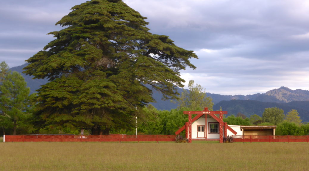
 This was one of quite a few marae I saw around here that are remarkably well turned out.
I only got chased by dogs once, and in a quite different spot to normal (Te Whaiti as opposed to Te Waiiti – actually, those look remarkably similar place names); but the dogs were chased away by a passing car. Ruatahuna now has a fancy new community centre (store, cafe, gas station, accommodation that I’d quite like to stay in, and so on). Unfortunately it’s all closed on Sundays and Mondays, so I just rested in the shade and ate. The closure did lead to the quote of the day, probably the trip, from a friendly local passing by: “Come back tomorrow and the community centre is open. You can get a coffee and a mean feed. Chur bro.”.
Predictably, the holiday traffic markedly increased in the afternoon and I was occasionally choked in dust. Still, the scenery through these parts is stunning.
 Panekiri Bluff standing above Waikaremoana.
The undulations around the north of the lake rolled by and I grabbed some food and water at the store far earlier (two versus six o’clock) than I had at Easter. Three hours took me back to Wairoa; after the big descent from the lake, the rolling hills gradually wear thin. Well pleased to actually finish this loop, with a hundred kilometre addition, this time I took care to refuel plenty before the drive home. Seven hundred and forty kilometres in just less than four days – a good touring pace with sufficient hills. I’ll have to step it up a bit for the Mega GGG in ten days’ time (lack of leave and all…).


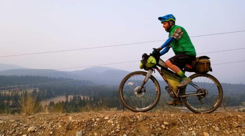
 I’m a little easier to spot here.
 More difficult to pin point here.
 Fair to say it was worth stopping. A few pies may have also been consumed, and food bought for the rest of the day.
 Looking across Rotoiti, probably my earliest power boat trips were here.
 Through pasture, there were still some stands of native bush to be seen.

 Turning around to look west – oh look, the Papamoa Hills and Mt Maunganui ever so close. But still further and from a different angle than I was used to.
 Leaving the orchards behind, towards farms and forest. It was warmer than the sleeves suggest – someone had rather forgotten to replace their sunscreen.
 Whale Island, looking east.
 Definitely a beachfront campground.
 Not a bad breakfast spot.
 Strangely, we didn’t turn right – but only because there was more gravel to be found, on a big descent to the Rangitaiki Plains.

 Getting off the pathway to look over the embankment across the surrounding valley.
 A crazy smooth rail trail, especially after Salmo, it was well good for bikepack chatting.
 More gravel roads to whizz down; and yes, still trees to be seen.
 Unfortunately, my last photo of a fantastic trip appears to been a very poor one of a Canfor sawmill; ho hum.
 The sun trying to break through the haze.
 Not making a lot of headway through the particulates.
 For a free ferry, it was much larger than I expected – fitting a surprising number of vehicles, large and small, on and finding room for two bikepackers too.
 Up and up.
 Slowly getting closer to the pass, which was under the left of that peak.
 A.
A. Complete.
 Blast.
 We may have thoroughly enjoyed ourselves… Well, I certainly did!
 Megan setting the dust flying behind her.
 Occasionally we slowed and stopped to appreciate the beauty around us.
 Enjoying the last of the fantastic gravel excursion in the late-afternoon light/haze.