Postponed five weeks after a lot of rain put paid to the original date, a few days out the forecast wasn’t looking much better this time around. Thankfully it improved enough that we shouldn’t get too wet – from the sky, at least – for our weekend at Mt White Station in the Canterbury high country. Heavy snow as we drove along the Arthurs Pass highway was less encouraging, but as we approached the turnoff the cloud lifted a little. Ten of the original twelve met at the homestead before noon. All our luggage was loaded into a Landcruiser to be delivered to the hut, and our bikes were loaded only for day-rides – luxury, and the not the end of it. I’d even brought my trail bike, willing to trade a faster bike for a much more fun one.
Driving in, and the whole weekend, brought back many happy Tour Te Waipounamu memories – it was even better to be reminiscing with Andy, as we had a very enjoyable ride through the station that day early last year. On that day, we noticed that a lot of money was being spent on the farm – many new buildings being constructed. That has continued with two new huts being built further up the Esk Valley (one of which we would stay in for the weekend), significant roading and fence work was also apparent.
We pottered to the hut, seventeen kilometres and a modest amount of climbing, on the main road over a couple of hours high above the Esk River – of which we caught occasional glimpses. The rain stayed away, the snow was disturbingly low and it was cold. The road rode well; that is, until we got beyond the big, shiny, new bulldozer and the surface was mud of the tacky variety – drivetrains didn’t sound so good after those few kilometres.
 Up on the terraces above the river; as for TTW, a lot of riding would be on these, with frequent drops to streams, rivers and then grovels back up.
 Up the Esk Valley.
 Back down the valley.
 Sticky.
 Home for the weekend.
Twelve bunks, insulated, fireplace, hot water, showers, well-equipped kitchen, a fridge-freezer – couldn’t ask for much more in the middle of nowhere! Soon the kettle was boiling; I couldn’t leave my tea to join the rush to go further up a side valley straightaway. Instead enjoying the cuppa, some quieter moments and then a shorter ride up Camp Stream and down Baldy Stream with Nina and Bryan.
 Up the Pukio valley, we’d shortly head off left, in front of the nearest patch of bush. Unsure what pearls Bryan is expounding here.

There was a dozer track adjacent to the creek, so it was easy going. We spent sometime exploring for the best route to the saddle at the head of the valley. I think we just wanted to mosey around a bit before accepting our fate and pushing up the steep and obvious dozer track to a small lake.


Back at the hut before the others, there was more tea and we began trying to make our way through the excessive amount of food that had been driven. Between courses, Bryan, Nina and I went for a stroll down from the hut to see if we could get closer to the waterfall flowing into the Pukio just above where it joins the Esk. We didn’t make it, but did manage to get halfway down to the river and generally amble around in the cool of the evening. It helped to make room for the huge and tasty curry that Andy had made.


The plan for Saturday (cold, no wind, low cloud, but not rain) was to head further up the main valley, cross the Esk then head up Grant Creek and climb to the historic Cattle Creek Hut. Plenty more TTW memories, it was nice to have a bit more time to appreciate the area – even if the weather wasn’t nearly as pleasant.
 Down to cross the Pukio.
 Before climbing back to another terrace.
 Now time to get across Ant Stream.
 More terraces; but this time we stayed low, crossed the Esk, followed it up a bit before turning up the Grant valley just to the right of centre-shot.
 Rob and Andy rescued a ewe from down a bank. The almost-completed Terrace Hut in background (turn-off before drop to Ant Stream).
 Up the Grant Valley.
Before long, we left the stream and pointed up for a two-hundred metre climb. Steep and with no gravel surface, just more mud, we were all walking up there.
 Twas a decent push.
 Could be the intriguingly-named The Candlesticks range in the background.
I reached the hut right on noon and had a bit of time to poke around in solitude. Quaint hut and still well used by mustering gangs, but my word it was cold. Set back in the beech forest, it wasn’t getting much light and the wind was blowing straight in. Lunch inside

 The skeleton of the hut hadn’t travelled far.
Others came and went, but I was trying to appreciate the time there and was in no rush – waiting to eat some more with Bryan and Nina. Andy had mentioned going back to Anderson Hut (further up the Esk, and where we’d had a freezing night on TTW), but I had no desire to go back in the cold and see it again.
 Nina’s photo.
Forty-five minutes was enough in the ice box, I bid Nina and Bryan farewell and turned to see if I could catch the others. Turned out, I could – even with a big head start, some return on pedalling a bigger-bike-than-necessary around all weekend. Catching Andy, as so often, stopped shooting video it was much warmer down at 800 m; suddenly I was keen not to return straight to Esk Hut but instead make the most of exploring this vast place a fraction more. We could cut from the Grant-Esk confluence to further up the Esk on a recent track and miss out a fair bit of backtracking and then climbing to the main road.
Off the two of us went, it only took twenty minutes to join the road for the last three kilometres to Anderson Hut.
 Anderson Hut just beyond the upper Esk. The spur we rode off the Dampier Range on TTW just behind it.
 The door closes now! Not that it mattered to me; only room for two in the hut, most of us slept out that freezing night.
Andy, for some reason, was not keen to push our bikes back up the Dampier for the fun downhill. I escaped Anderson Hut this time with neither of my socks being stolen, we turned for twenty kilometres down the valley to Esk Hut. Of all places to find a fiver lying on the trail, the back of Mt White Station would be one I’d least expect!
 This tree held my attention for quite sometime, most of its roots seemingly doing a poor job of being in the ground.
 Another Esk crossing; Andy having no memory of the steep little climbs between the terraces. I remembered them all too well.
Fun riding down this valley with Andy again, which gratifyingly again came with frequent requests to pause and then ride for the camera. I took a short detour up the Ant Valley to check out Anna Hut (unsure why it’s not beside Anna Stream) before returning to the main road and finding Andy setting up another shot.
 A short stroll up Surveyors Knob to get a different perspective. Esk Hut is on the end of the terrace extending from below the bush at right of shot.
Fifty kilometres and seven hours on mixed surfaces, I was starting to tire – the price for the fun bike. The last climb really was a grovel; I walked a lot of what I’d normally ride. Sign of a good day exploring? I think so. We got back to find most everyone had been back at the hut for hours – they missed out. But they did a grand job of keeping the food appearing – I was delighted to find out Yorkshire Tea loaf is a thing (how I didn’t know before, I can only marvel), and it’s delicious and commonly served with cheese (just gets better); I may have finished it, yum!
 Definitely not a eat-what-you-carry bikepacking trip.
Another pre-dinner walk was in order to break up all the eating. This time, an easier, more direct way down to view the falls near the hut.

 The closeness of such hairpin turns in the river caught my eye.
 This stream rises near Surveyors Knob, and from such flat surroundings I was surprised by how much water was cascading.
After another large dinner, we were treated to Nina’s slideshow of her experiences dogsledding, attending a fat(-bike) training camp and then returning the following year to ride in, and complete, the 350 mile Iditarod Trail Invitational in the Alaskan winter. Biking in, or just trying to survive, temperatures down to -50 degrees Celsius was adventure far beyond what most of us could comprehend. Absolutely fascinating, and humbled our own efforts and hardships overcome.
Sunday morning and there was still ridiculous amounts of food left and, considering it was only seventeen kilometres out, we made a good effort at not taking much home. Seventeen kilometres for those keen to ride straight out, that is. I was not – there was still more exploring to be done and who knows if I ever might get the opportunity to return? Nina was keen, and Andy may have been as well – but as I had the car key, he may have felt he had little choice! Up the Pukio we went for ninety minutes, past the part of the valley where a family long ago lived for thirty years with a dairy herd – carting their cheese over the Dampier Range to market (it was bad enough with a bike). Perhaps they named the Mounds of Misery. (I’ve since heard how difficult farming Mt White is – stories not-uncommon winters where all stock are lost.) We dropped to get a view of Lake Grace, the Cox River and McArthur Gorge (where the river, for seemingly no reason, changes name to Poulter East Branch).
 Up through the old dairy farm area.
 From the top of the Mounds, looking up the Cox valley.
 Over to Brown Hill, on the other side of the Poulter.
 Lake Grace.
 Cox River.
We turned and headed to Camp Stream, making faster time – the downhill overcoming the breeze in our faces, just; but not fast enough to catch Nina, who’d turned around thirty minutes before us. Plenty of undulations on the main road back, I may have been a bit tired – but we were zooming down to the remaining vehicles before noon.
 Back to the homestead.
So that was an excellent weekend exploring some of the interesting and staggeringly vast Mt White Station – very much recommended. Cold, but not windy and I never had to put my raincoat on. Thanks to all the group for making it the weekend it was, especially all that food! Extra thanks to Nina for organising and sharing her snow and ice biking stories with us.
The usual bonus from riding with Andy, and for making it through such a long post – a different take on the same trip that takes far less time than reading this far (the second half of which just seems mostly to be of me having fun on a bike, oops).
 The valley floor riding was pleasant enough. Looking back east to the Wether Range.
 Entering our first conservation area of the trip. Only five kilometres to Dromedary Hill summit.
 Soon looking back on the valley we’d just left.
 Gaining the ridge, looking north to the Ahuriri valley and the rounded Ohau Peak.
 Thankfully we weren’t dropping to then climb those tracks.
 Time to start heading up the ridge towards Dromedary summit. Andy’s pic.
 A bit of ridge riding. Andy’s pic.
 Still going, for now. Andy’s pic.
 That must be back towards Omarama, didn’t realise at the time. Was probably too busy expiring.
 There it is on the right. The run down the ridge looks fun, and that’s without seeing the 500+ metre drop off the back.
 But first, a little drop and more steepness up those switchbacks.
 Getting closer, Mt Melina back left. Also, Melina Ridge track far left, which we’d climbed last year (easier than this one!) and planned for the next morning.
 After four hours of heat, a mere sixteen kilometres and 1300 metres of climbing I was left staring at the last big climb – up Pavilion Peak. It looked nasty. Andy’s pic.
 A fair reflection of how I was feeling about then; don’t think I’ve ever looked or felt so grim while out bikepacking! Andy’s pic.
 Ah, it wasn’t going to be all downhill to get down.
 Starting the descent, not at all upset at not going up there that night. Bit more concerned with how awful I was feeling however, bumping downhill not quite as much fun as it usually is.
 Still looking over to Pavilion; we’d come down those switchbacks and turned left. Andy’s pic.
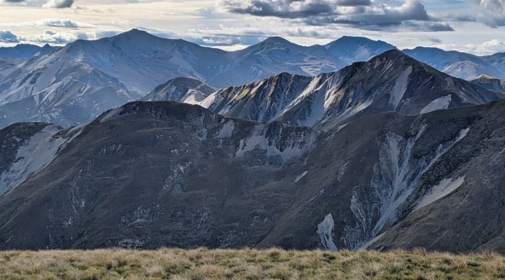
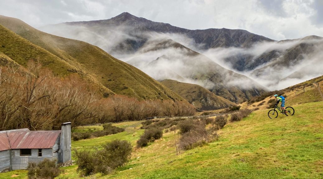


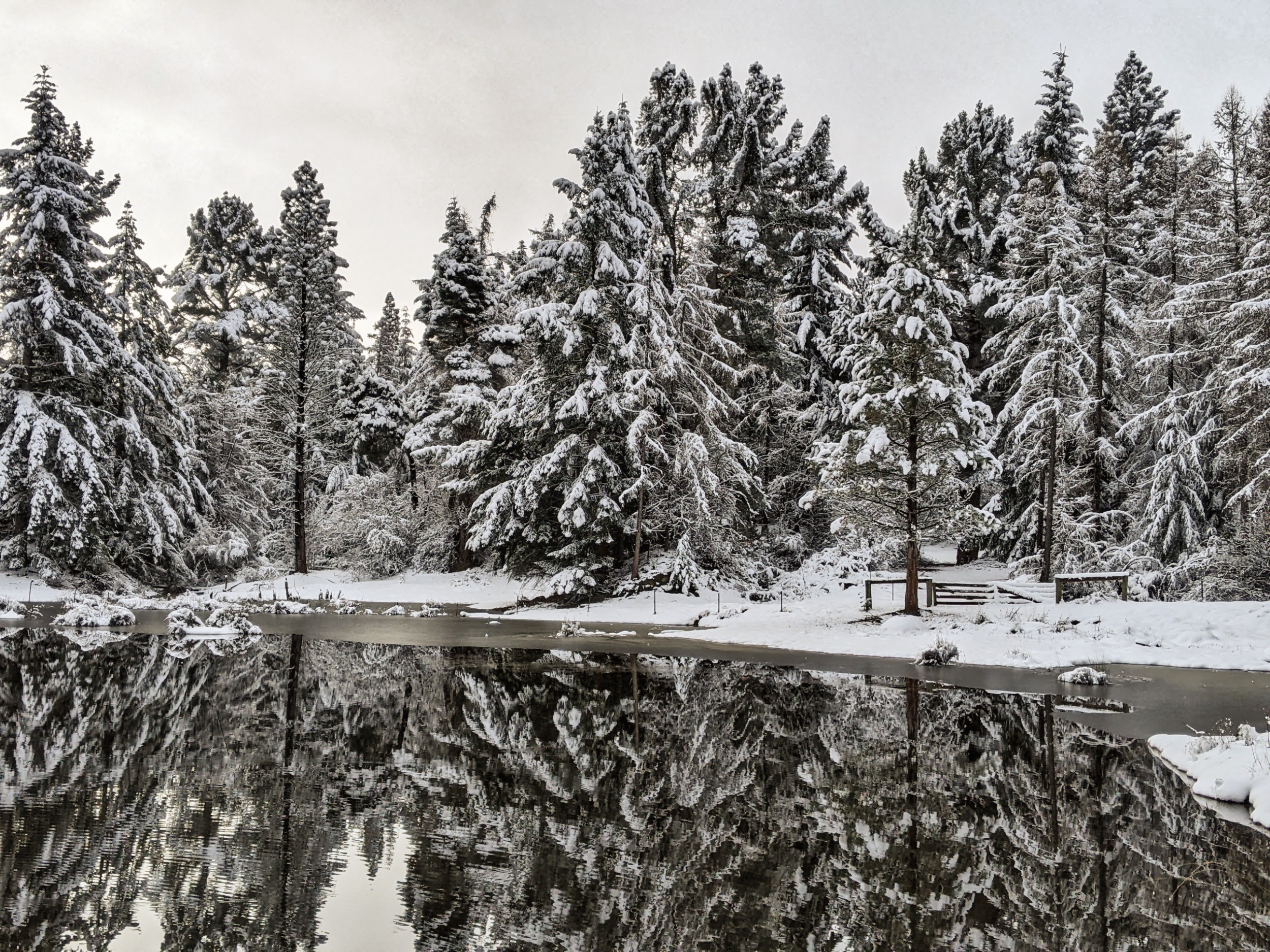
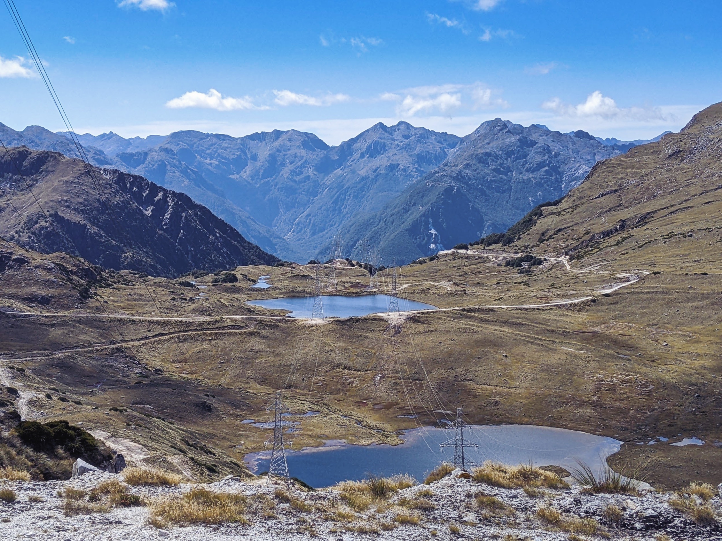
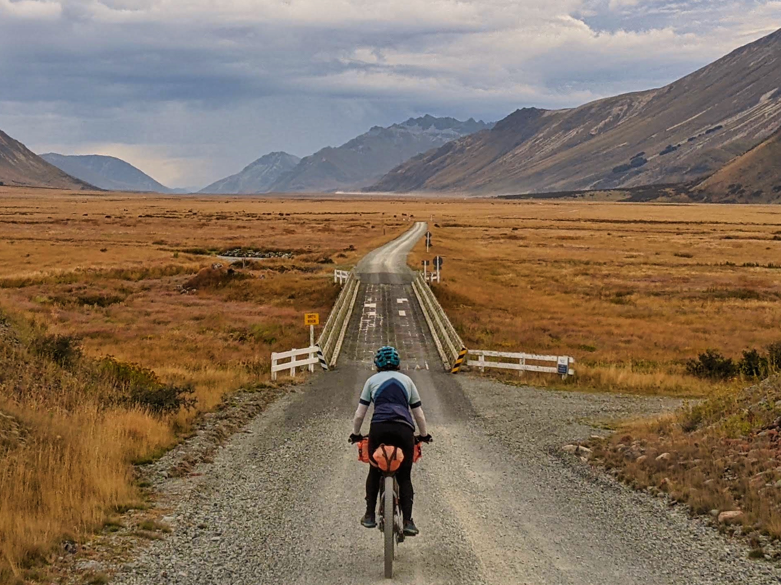
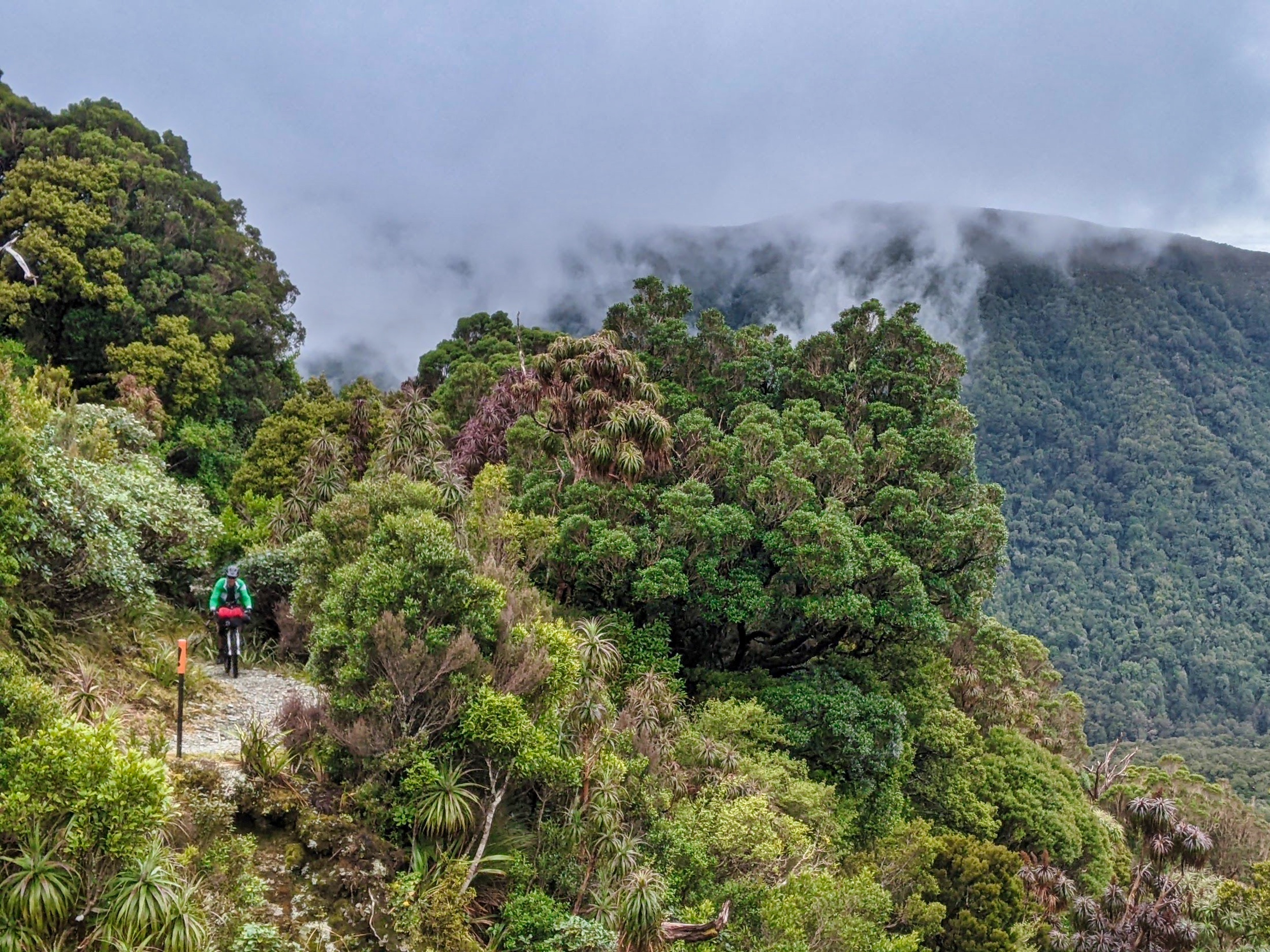
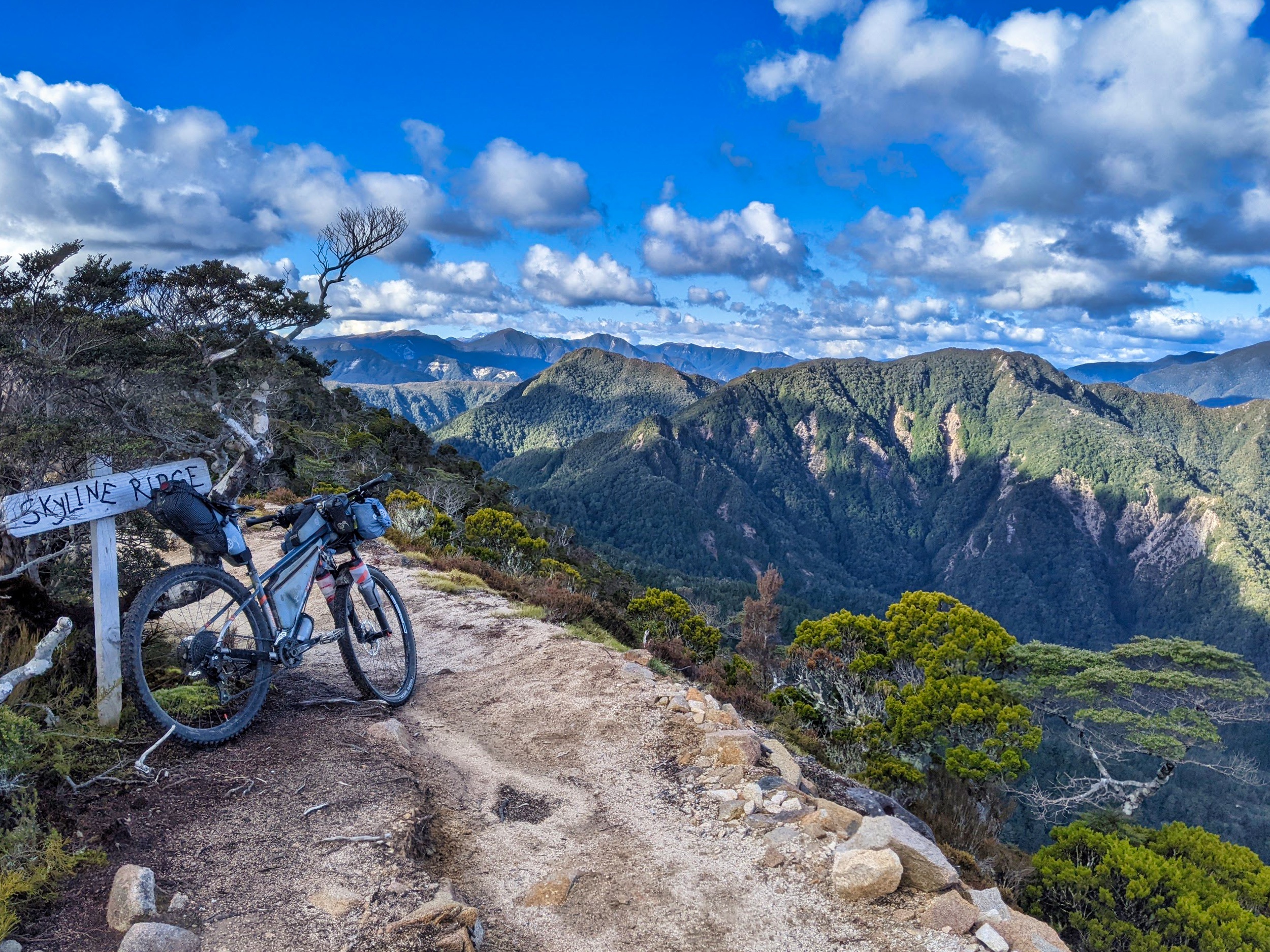
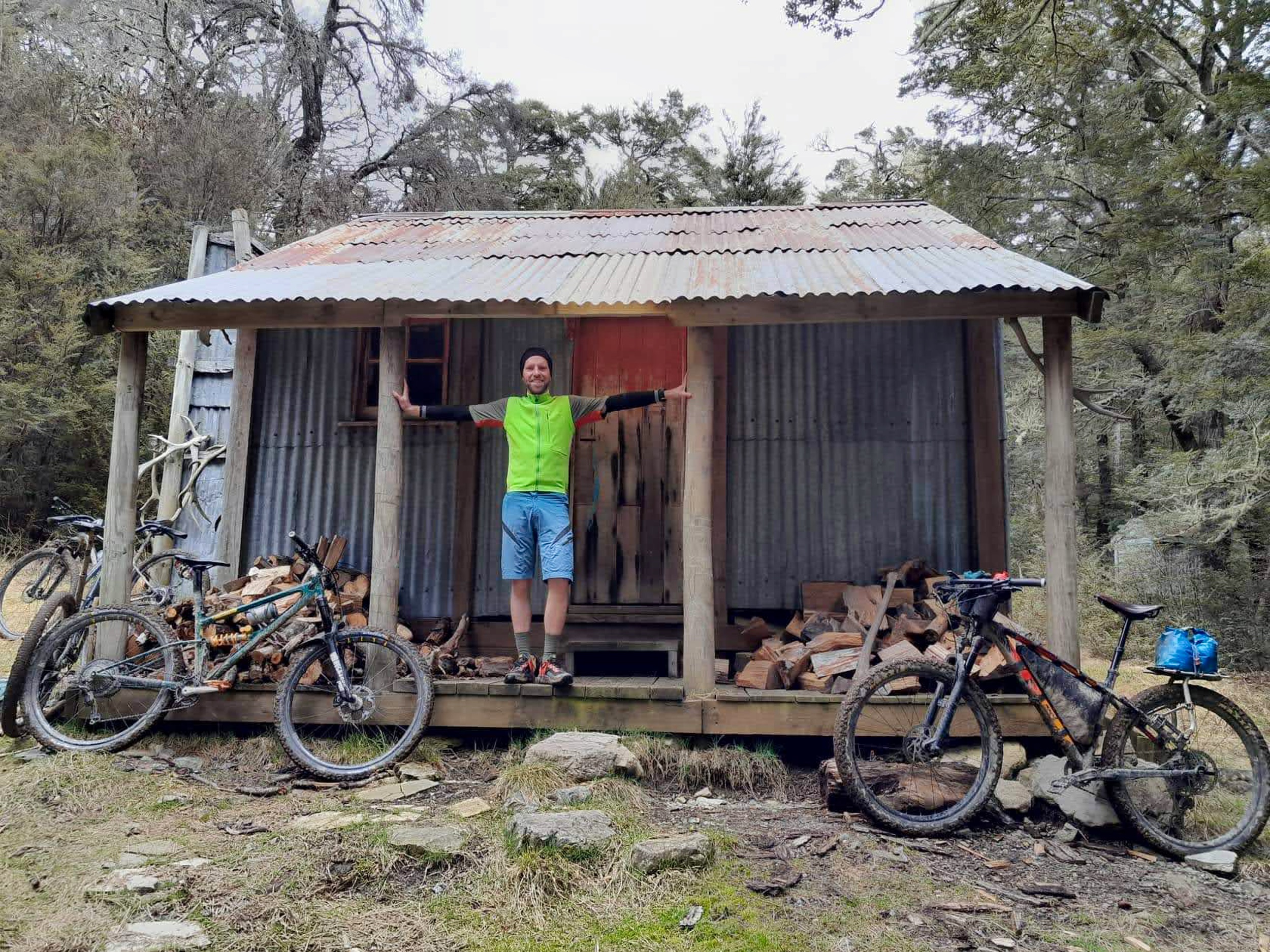
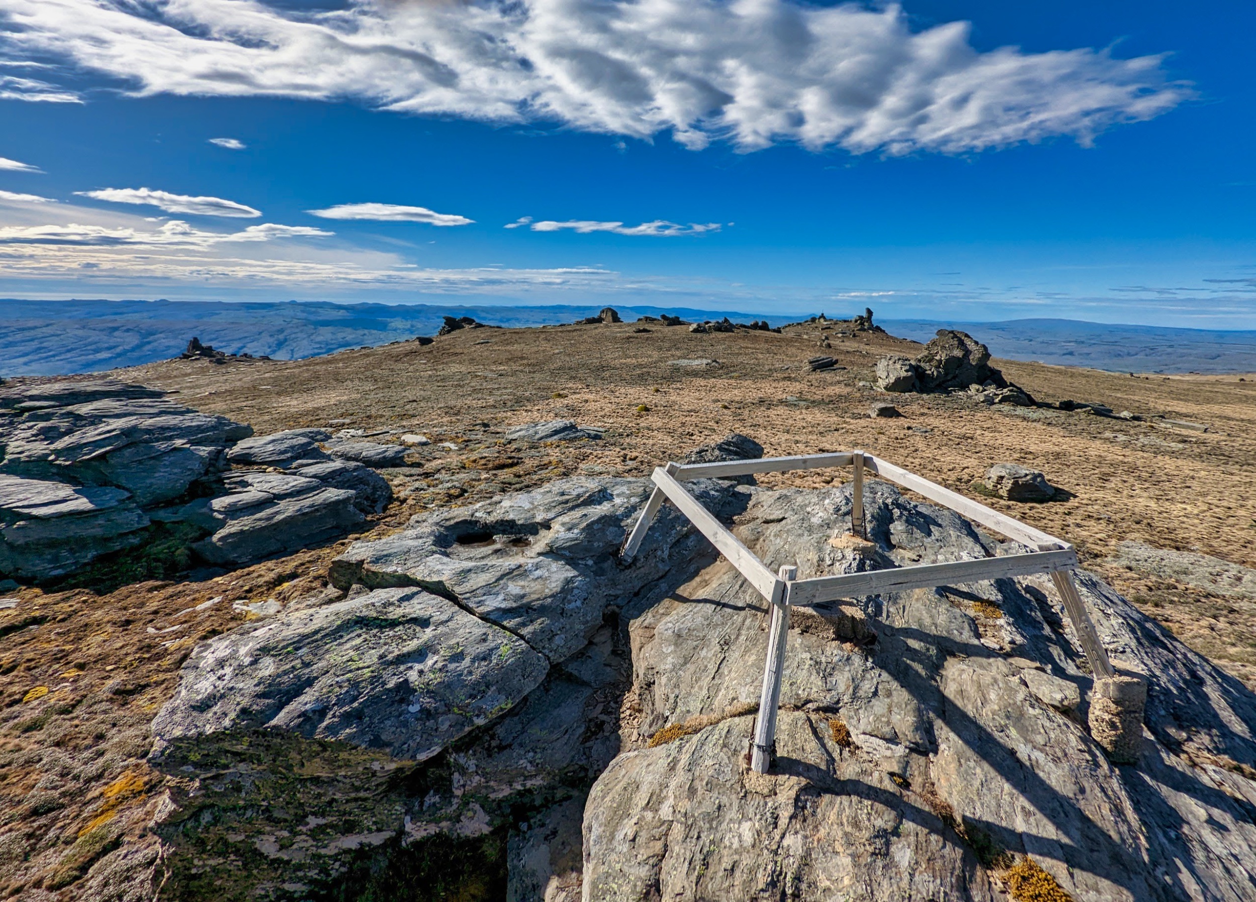
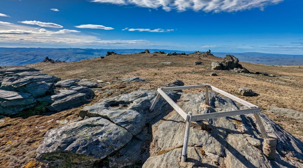
 Looking east to the Kakanuis.
 Across the Ida Valley to Rough Ridge.
 Up the Ida Valley, Hawkduns in the distance.
 Bit dryer heading into Poolburn Gorge.
 Poolburn Viaduct.
 Hawkduns again, further north over the Manuherikia Valley.
 Off Tiger Hill looking over to the Dunstan Range.
 Still a bit of snow around the next morning, the sun was fleeting.


 At this time of the day, the coffee and burger boats were open. As if we needed another reason for our leisurely pace; tasty burgers.
 The trail engineering still impresses.
 Much too early for the pub to be open, this building next door always catches my eye.
 Upper Taieri windings.
 Back over the Maniototo to the Hawkdun and Ida Ranges. Naseby Forest visible back right of valley.
 We easily found the turning off the gravel Old Dunstan Trail onto the 4WD track up to and along the Rock & Pillars.
 Down to Loganburn Reservoir.
 Following old fence lines (signs of farming on ranges around here still bewilder me somewhat) along the ridge; steeper than it looks, some pushing involved.
 Just the odd patch of snow stubbornly remaining.
 East to the Pacific. Fun spotting those two bumps of hills right of centre – riding between them was part of my standard twenty kilometre loop from parents’ Waikouaiti home.
 Plenty of schist fenceposts remain, even if the fences are no use now.
 Cutting across to Big Hut.
 Avoiding a surprisingly swampy section just above the hut.
 Made it, seven hours and not quite eighty kilometres.
 Can confirm, it is a big hut.
 Ropes to the toilets, lest someone get blown away.
 Trying to catch the last of the light, but the wind was well up and I soon retreated.
 Remains of Top Hut, the original accommodation – somehow thirty people slept in this space.
 I took a brief tour to jog to the actual summit, can’t not when it’s right there. Looking south east to the Pacific. Trig didn’t stand a chance up here.
 North west to the Dunstan Range.
 I had a bit of snow to skirt as I approached the hut.
 Nice spot.
 That sure is a fun descent!
 Thankfully magpies didn’t add me to the tally on this trip. The ones I encountered didn’t seem to make contact when swooping – most odd, but definitely preferable.
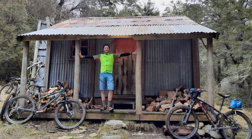
 Up on the terraces above the river; as for TTW, a lot of riding would be on these, with frequent drops to streams, rivers and then grovels back up.
 Up the Esk Valley.
 Back down the valley.
 Sticky.
 Home for the weekend.
 Up the Pukio valley, we’d shortly head off left, in front of the nearest patch of bush. Unsure what pearls Bryan is expounding here.


 Down to cross the Pukio.
 Before climbing back to another terrace.
 Now time to get across Ant Stream.
 More terraces; but this time we stayed low, crossed the Esk, followed it up a bit before turning up the Grant valley just to the right of centre-shot.
 Rob and Andy rescued a ewe from down a bank. The almost-completed Terrace Hut in background (turn-off before drop to Ant Stream).
 Up the Grant Valley.
 Twas a decent push.
 Could be the intriguingly-named The Candlesticks range in the background.
 The skeleton of the hut hadn’t travelled far.
 Nina’s photo.
 Anderson Hut just beyond the upper Esk. The spur we rode off the Dampier Range on TTW just behind it.
 The door closes now! Not that it mattered to me; only room for two in the hut, most of us slept out that freezing night.
 This tree held my attention for quite sometime, most of its roots seemingly doing a poor job of being in the ground.
 Another Esk crossing; Andy having no memory of the steep little climbs between the terraces. I remembered them all too well.
 A short stroll up Surveyors Knob to get a different perspective. Esk Hut is on the end of the terrace extending from below the bush at right of shot.
 Definitely not a eat-what-you-carry bikepacking trip.
 The closeness of such hairpin turns in the river caught my eye.
 This stream rises near Surveyors Knob, and from such flat surroundings I was surprised by how much water was cascading.
 Up through the old dairy farm area.
  From the top of the Mounds, looking up the Cox valley.
 Over to Brown Hill, on the other side of the Poulter.
 Lake Grace.
 Cox River.
 Back to the homestead.