Having called it a day in the southerly storm, got warm and then, with nothing else to do, slept well before sunset – it was a fitful night’s sleep. I must have been quite exhausted, as my bivy bag was markedly more claustrophobic than it ever had been. But it’s real purpose was to keep decades of dirt and pigeon droppings off, so it was simple enough to open it up and relieve the anxiety. Leaving our humble digs shortly after half-four, we had a bit of lost time to make up.
Clambering back over the fence, we were back on gravel for much of the morning. As the sky lightened, we climbed a couple of hundred metres. This section was off the Old Dunstan Rd route proper, but knowing the real route slogs up and over farmland steeply I was not quibbling with Dave’s routing. Short of water, we refilled out of a canal below the Paerau Weir, which feeds power stations I didn’t know were there.
Rejoining the Old Dunstan Rd, the big climb I remembered well loomed into view. As the day dawned, it was definitely cooler than last year. Progress up the ten percent gradient for an hour was slow and steady, but seemed easier. There may have been some walking, perhaps I’m blocking that out.
 The weir, the road we’d just ridden and out over the upper Maniototo Plain.
 Jake powering ahead again.
Reaching the high point, still heading into the southerly, and seeing all the snow down to our level I was well pleased we’d called the previous day early and avoided the exposure up this high. It was cold and bleak enough as it was.
Dropping down to the Loganburn Reservoir, undulations tired us and took us towards another ridge. Knowing that we did not have to go up the Lammermoor Range and instead were turning east away from the headwind was a great comfort. That there was a big, prolonged descent that really shook me up was quite good too, even if it was interspersed with some decent pinch climbs. Out of the desolate tussock-clad hills and into productive farmland, we lost seven hundred metres and finally turned to have the wind behind us.
This was off the Old Dunstan Road and took us on a quieter more direct route north to Middlemarch, where we knew breakfast, brunch and lunch were waiting.
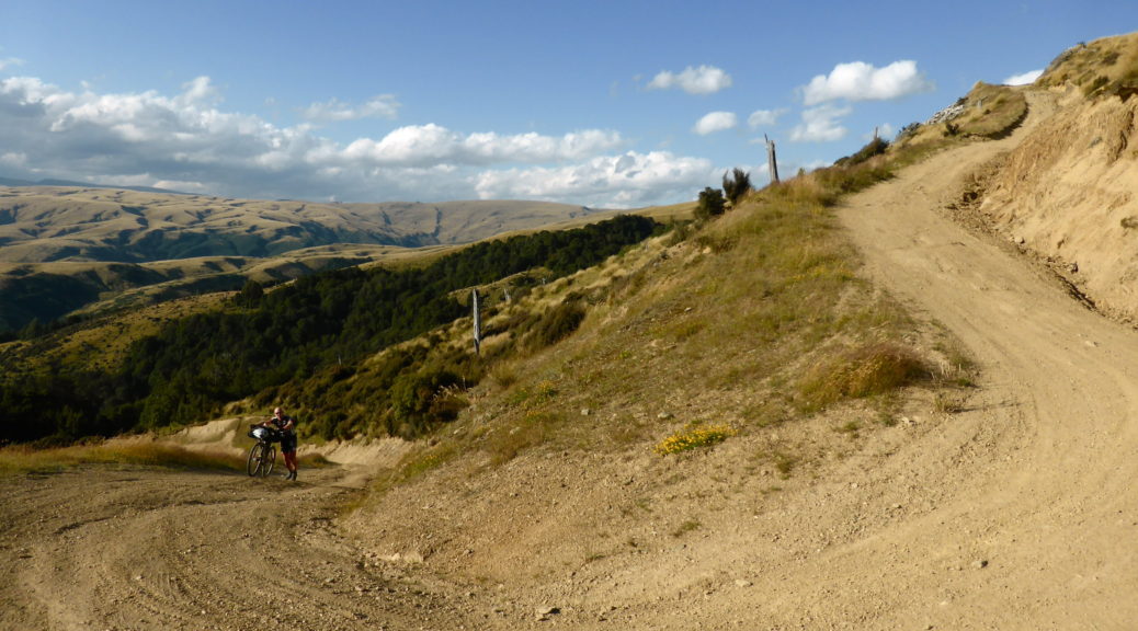
 There was of course a steep climb waiting for us through Rocklands Station.
Joining the highway north after some ridgetop riding, the wind pushed us the twenty kilometres to town. I was happy to be off the highway for the last third; that is, until we found major resealing work on the gravel surface was in early days. Early enough that the gravel had been laid for kilometres, loosely graded but definitely not compacted. It was awful, but with energy that would soon be topped up we powered through.
Finding the only cafe in town certainly didn’t take long. Much to my chagrin we were ten minutes too late for a full English breakfast, I may have been somewhat fixated on such a thing for the previous six hours. Still, there was still plenty of delicious food to fuel us to our next stop.
 Bacon and egg pie, broccoli salad, green salad, couscous salad, two spinach & feta parcels, tea for two, a chocolate milkshake and bottles of water…
 That didn’t last long.
Breakfast/brunch/lunch over, we promptly rode around the corner to buy snacks. I may have also had a particularly tasty ice cream too while having a delightful chat to a senior about bikepacking, hearing how intrigued and envious she was about our rides.
The logical way out of Middlemarch for Ranfurly would be joining the rail trail at its southern terminus. But Dave had us on gravel roads that I’d not ridden before. For some reason I had plenty of energy and was feeling pretty good; mostly, I think it was the tailwind. I quite enjoyed the hour on the gravel road only climbing gradually as we headed up alongside the Taieri.

Crossing the river, joining the highway and then climbing away from them both, finally we joined the traffic-free and smooth rail trail. I waited for Steve and Jake, to briefly impart a bit of local knowledge about Naseby, before leaving them – I didn’t see them again until the finish at Lake Tekapo.
 Joining the rail trail at Hyde.
Weaving and dodging plenty of cycle trail tourists, the gentle rail gradient sped by. Strangely for me, I had the hammer down and made good time – an easy riding surface and that lovely tailwind. Based on my expected progress, I was pretty sure Ranfurly would be the last open store I would pass before finishing. So I made sure to stock up for the twenty-four hours ahead, before following one of the few routes into Naseby I was unfamiliar with.
The route called for a singletrack section in the Naseby Forest. Due to fire risk, that had been closed for the previous days and those ahead of me had mostly not been able to ride it. But the closure had been lifted, so my progress predictions were set back a bit as I enjoyed some slower riding through the trails and beside the water race. But I still had enough time to stop for a cuppa, eek a little charge into my dying phone, arrange with family a pick-up and to book somewhere to stay and rest before flying home.
Leaving town just after six, it was a glorious evening and I was looking forward to riding riding over Danseys Pass – in the northerly direction, for the first time. After I’d stopped at the renowned pub for a big lamb shank, of course. The wind pushed me up and over the deserted gravel road in lovely warm light.


The pinch climb after the lavender farm slowed me some, but soon I was dropping down to Duntroon and the Waitaki River as darkness descended even quicker. By now it was near eleven o’clock and I was thinking I should make Kurow – maybe even beyond – before getting some rest. If I got past Kurow, I might be good for my longest-distance day (anything over 270 km would do) and that would leave me less than a hundred to knock off the following day.
From Duntroon to Kurow I only had to follow the Alps2Ocean trail upstream, which shouldn’t be that hard. After all, Adele and I had ridden the whole trail (about 300 km) on heavy full-suspension bikes in two and a half days two years earlier. Alas, it proved more difficult than I expected for reasons I wouldn’t have guessed.
Partway to Kurow, the trail left the roadside at the Otekaieke River. Following the river towards its confluence with the Waitaki, it had clearly flooded recently as the trail was destroyed and was now somewhere in stretches of river gravel. Nearing midnight, the signage heading the “wrong” direction along the trail was woeful. I lost the signs near where I was supposed to cross the Otekaieke; consulting the GPS track wasn’t much use either as I found another instance of the low-resolution file that had been provided being less than adequate. Using my best interpretation of the base map, the GPS track and what I could see, I ended up following a trail into a copse of willows (that looked good candidates to be of the whomping variety).
It was a warm night and as I got further into the trees, it all became a little surreal. Partway in it was clear there was no trail, but the foliage was thick enough I lost my bearings and my GPS lost its signal. With many branches down there was a fair bit of hoisting my bike over trees and through small gaps. Thankfully, I never felt in any danger and I wasn’t particularly worried about my temporary disorientation; if anything, I was rather bemused at what was quickly becoming a comical blunder and accepted my fate.
There were quite a few walking tracks marked on the base map, so I figured I’d reach one of those eventually. I didn’t. I could hear the hum of a large pump station quite near, so headed for that. Eventually adjacent to it, I was hemmed in by a wall of fallen stumps some metres high – I can only assume they were some sort of flood protection for the pump station. There was no way over them, so I tried retracing my route. Eventually I found my way out after forty minutes of dragging my bike around. It was quite exhausting, but I’d had a pretty great day so wasn’t too put out.
Knowing to stay well away from the trees, I found the route and headed for Kurow. Apparently I was on the trail again, but it was in pretty poor condition – perhaps I was getting a little tired by now. Fifteen kilometres avoiding being showered by irrigators, riding through a vineyard and trying to stay awake had me in Kurow where at half-one it was time for a sleep. By now exhausted, I unrolled my bivy and tried to sleep under a trip-trap bridge in a playground.
That was another big day, by far the greatest distance I’d ridden in one day on this trip – but strangely the easiest day yet. For the first time in five days, I hadn’t been blown off my bike – so that was something. Also, I’d hardly had to push my bike – that was something even more.
 Dawn wasn’t too bad either.
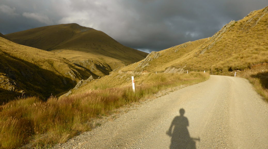
 It really was a lovely morning, and the wind-gods must have felt sorry for me – there was little to contend with. The road curves left and climbs to the pass on the left of Mt Dalgety.
 It really was a nice day, Mt Cook and the Southern Alps hove into view.
 Finally, I reached the pass. Rather unhurried and tired, somehow sixty kilometres and 800 metres of climbing had taken five and a half hours! Never mind, it would be all downhill from here – surely.
 Yes, a long downhill!


 The weir, the road we’d just ridden and out over the upper Maniototo Plain.
 Jake powering ahead again.
 There was of course a steep climb waiting for us through Rocklands Station.
 Bacon and egg pie, broccoli salad, green salad, couscous salad, two spinach & feta parcels, tea for two, a chocolate milkshake and bottles of water…
 That didn’t last long.
 Joining the rail trail at Hyde.

 From our napping vantage point, Poolburn Reservoir.
 It was a house to us.
 The valley narrowed and the grade increased slightly.
 Pointing the front wheel down, soon I was past the historic Garston Ski Hut – making a note to return here with a beefier mountain bike and explore further.
 There was over seven hundred metres to lose plunging down the exhilarating gravel to the Mataura valley floor. Reacquainting myself with the fierce norwester, I was slowed a little.
  Snaking down the hills took me to a short stretch of highway and onto Garston (apparently the most-inland settlement in New Zealand; who knew?).

 More trail angels! I hardly knew where I was in the country, but there was an invitation to come to the farmhouse for tea. I don’t know how I passed that up, the goodies in the box probably helped.
 After lovely riverside riding for some time, we entered dense native forest and the steep undulating climbs and descents began.
 As the afternoon drew to a close there was now not excessive heat in the wind.
 It flattened out, a bit, and was rideable in parts.
 It was hard to believe this was once a gold mining settlement of 150 hardy people. It was fierce enough up here on a clear summer’s night; winter must have been something else.
 A slightly newer hut sheltered us for the night.
 Happy to not be trying to sleep in my bivy bag, the smell of the mattresses was best ignored.